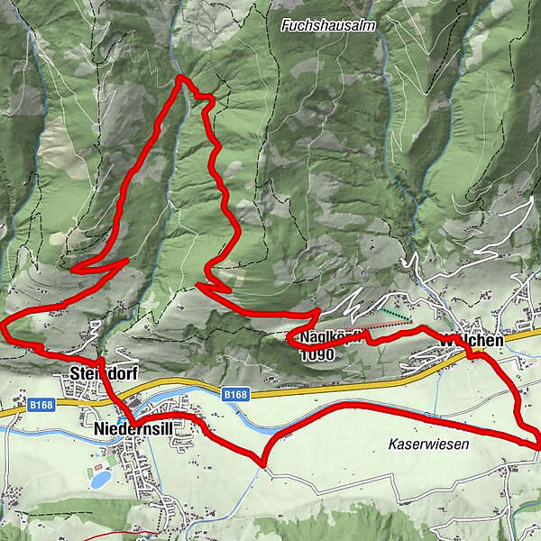
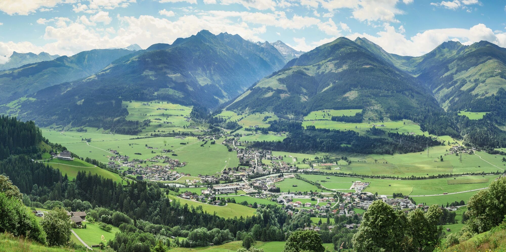
Trail running: HOCHPRACKRUNDE via Hummersdorf Niedernsill

Trailrunning

© Piesendorf Niedernsill - Harry Liebmann

© Piesendorf Niedernsill - Harry Liebmann
- Krótki opis
-
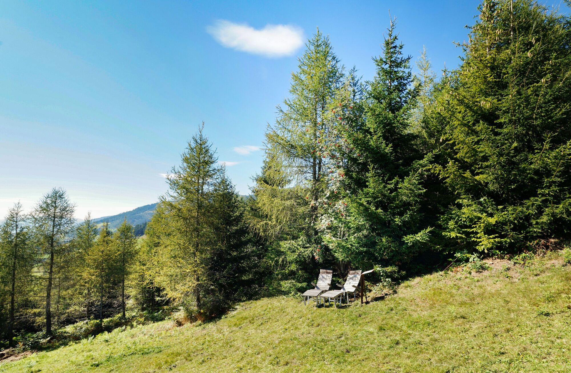
The trail runs through forest and meadows and past the legendary Naglköpfl chapel.
- Stopień trudności
-
średni
- Ocena
-
- Trasa
-
SteindorfGaisbichl1,7 kmJausenstation Nagelbauer9,9 kmNaglköpfl (1.090 m)10,2 kmWalchen12,3 kmJesdorf17,3 kmNiedernsill18,1 kmSteindorf18,7 km
- Najlepszy sezon
-
stylutmarkwimajczelipsiewrzpaźlisgru
- Najwyższy punkt
- 1.368 m
- Miejsce docelowe
-
Car park Steindorf
- Profil wysokości
-

-

-
AutorWycieczka Trail running: HOCHPRACKRUNDE via Hummersdorf Niedernsill jest używany przez outdooractive.com pod warunkiem.
GPS Downloads


Więcej wycieczek w regionach