- Krótki opis
-
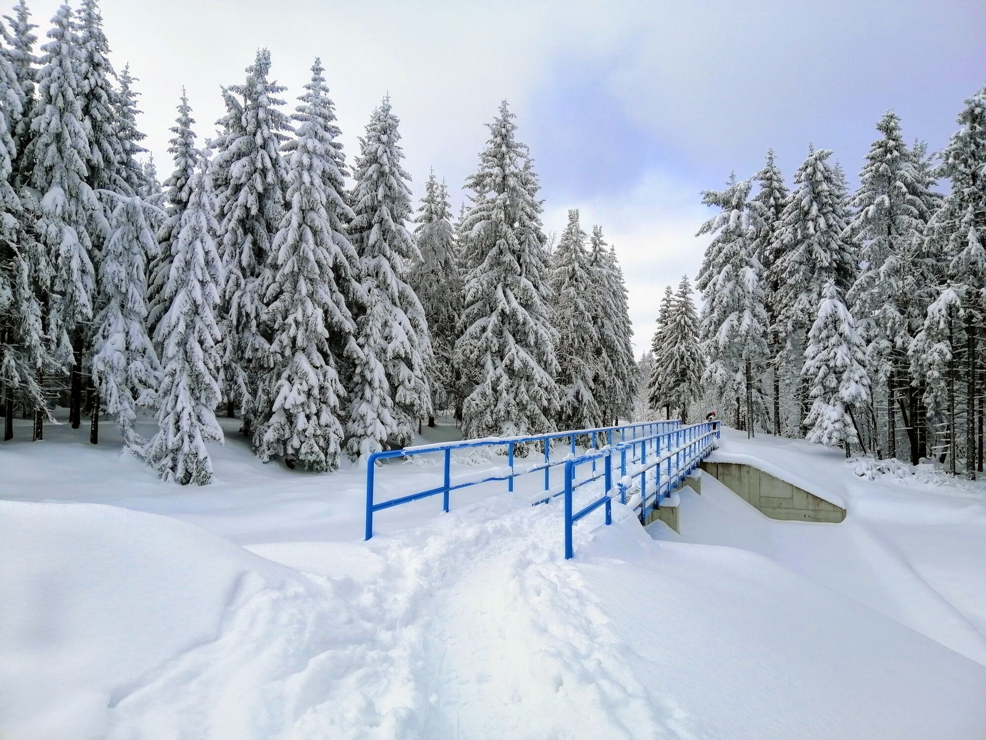
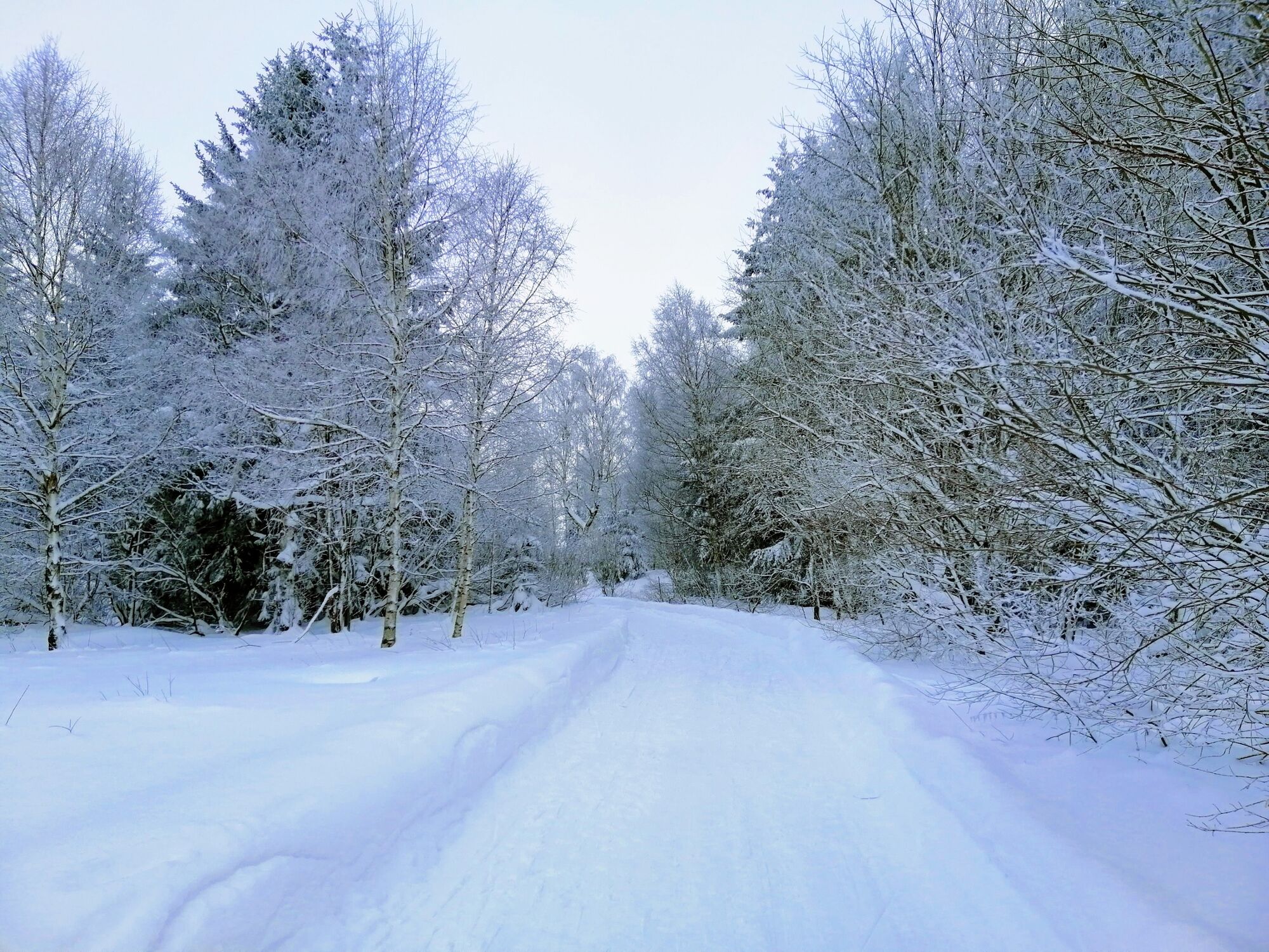
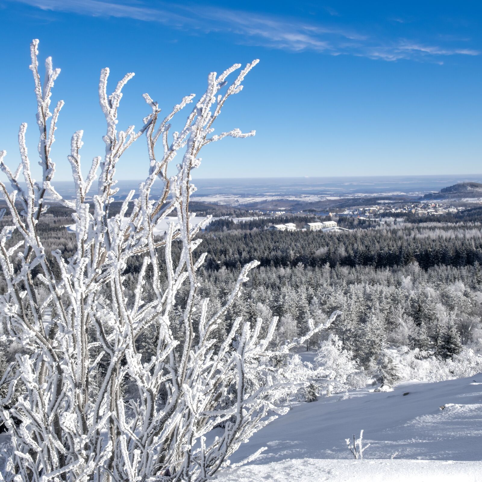
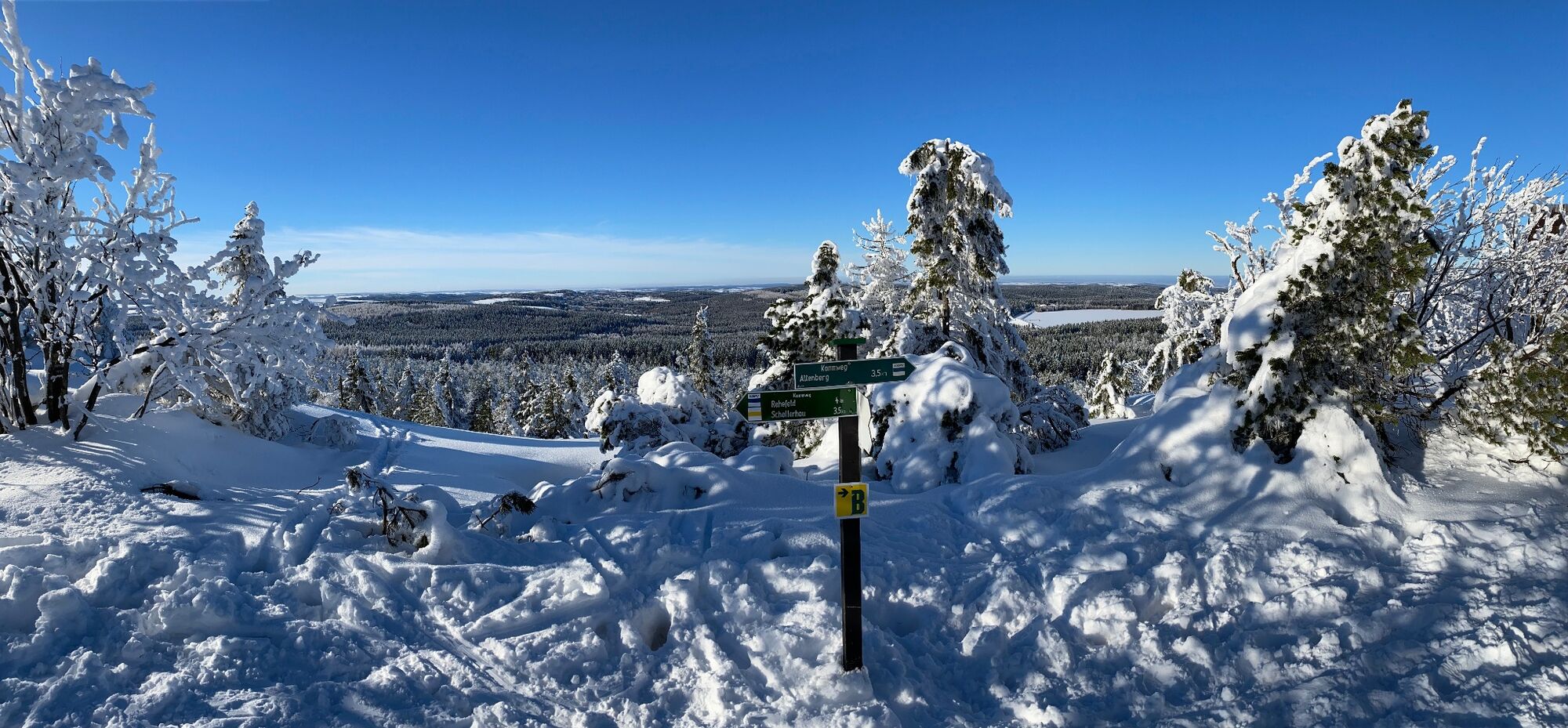
A tour through snow-covered forests - with a great view from the Kahleberg and tobogganing opportunities for all family.
- Stopień trudności
-
średni
- Ocena
-
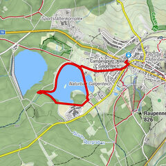
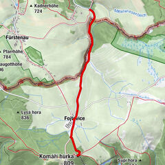
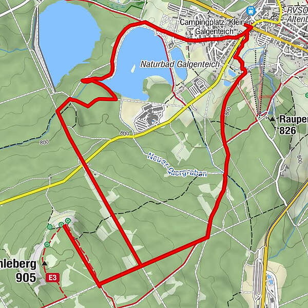
- Trasa
-
AltenbergBergglöck'l0,1 kmBergglöck'l8,2 kmAltenberg8,2 km
- Najlepszy sezon
-
siewrzpaźlisgrustylutmarkwimajczelip
- Najwyższy punkt
- 898 m
- Miejsce docelowe
-
Bahnhof Altenberg
- Profil wysokości
-
 © outdooractive.com
-

-
AutorWycieczka Winter hike to Kahleberg jest używany przez outdooractive.com pod warunkiem.
GPS Downloads


Informacje ogólne
Obiecujący
Więcej wycieczek w regionach
-
Sächsische Schweiz
70
-
Erzgebirge
40
-
Altenberg
12