© Dresden Elbland - Stephan Böhlig

© Dresden Elbland - Wolf-Rüdiger Meyer

© Dresden Elbland - Wolf-Rüdiger Meyer

© Dresden Elbland - Wolf-Rüdiger Meyer

© Dresden Elbland - Wolf-Rüdiger Meyer

© Dresden Elbland - Wolf-Rüdiger Meyer

© Dresden Elbland - Wolf-Rüdiger Meyer

© Dresden Elbland - Wolf-Rüdiger Meyer

© Dresden Elbland - Wolf-Rüdiger Meyer

© Dresden Elbland - Wolf-Rüdiger Meyer
- Krótki opis
-
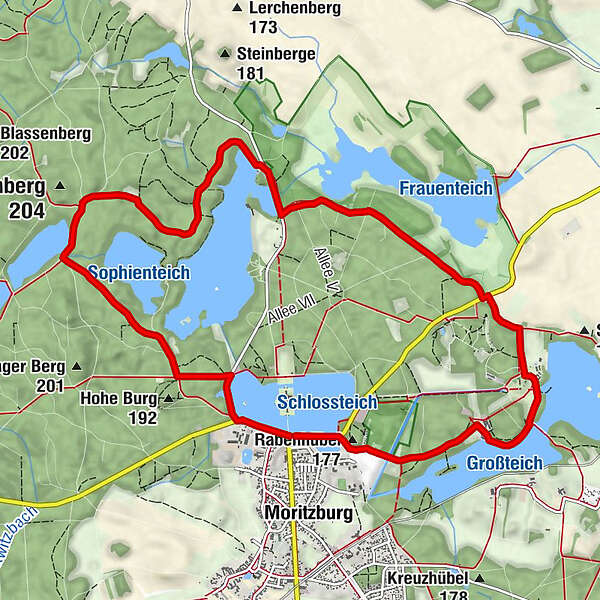
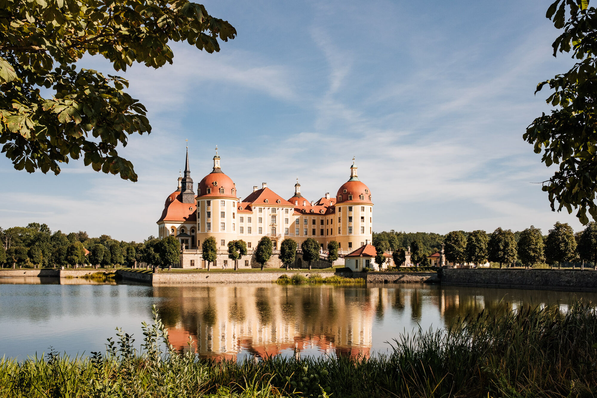
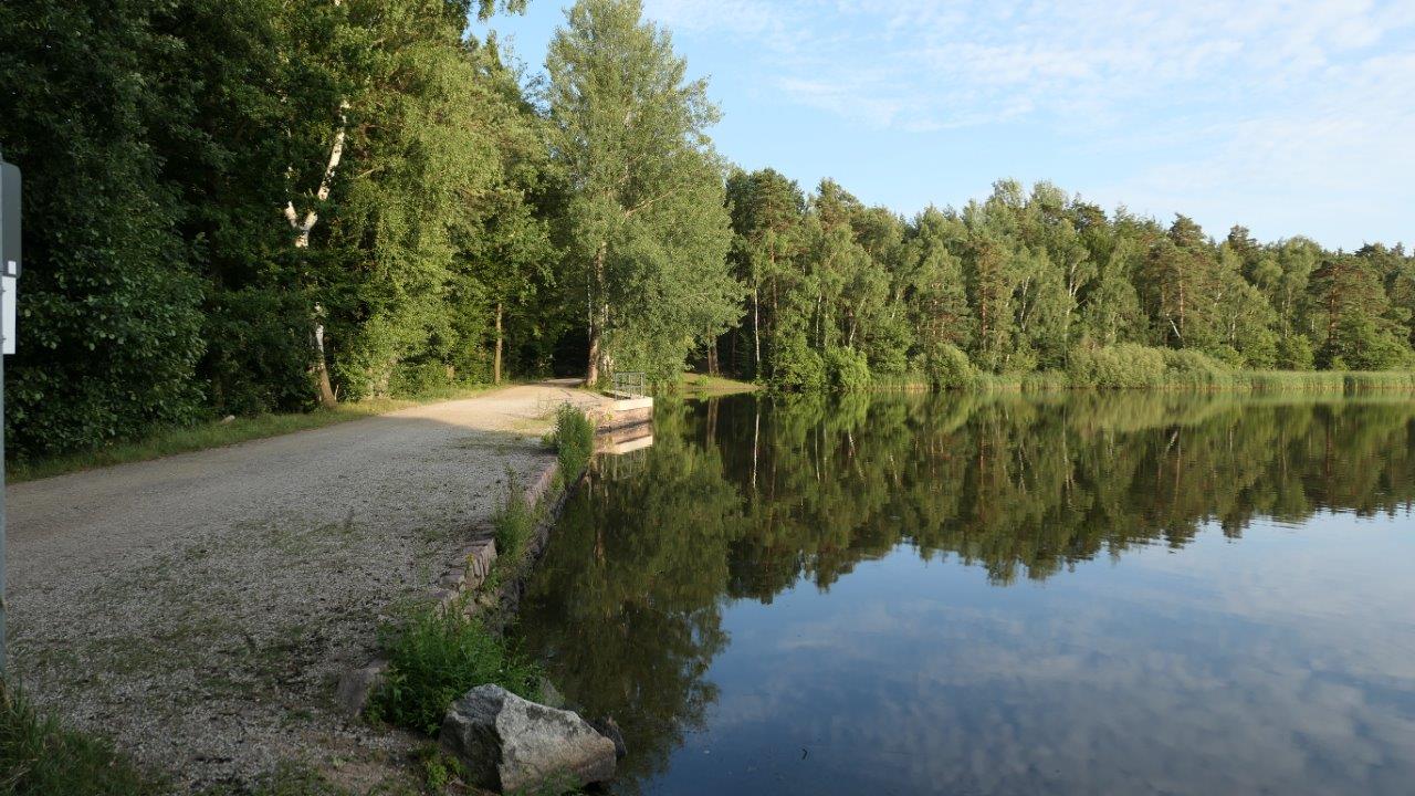
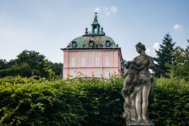
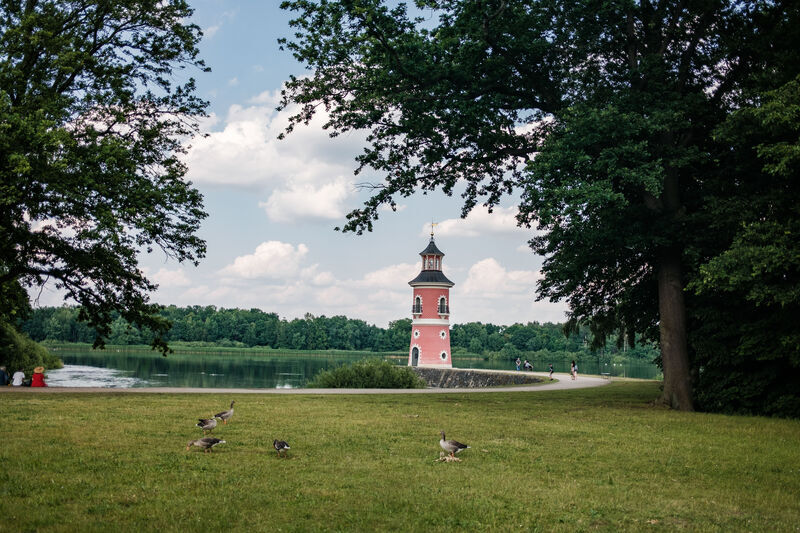
The circular hike on the "Königsweg" combines the experience of a historical cultural landscape with the hunting lodge Moritzburg in the center and a surrounding varied pond and forest landscape, which was already appreciated by the Saxon electors and kings.
The "Königsweg" is a circular hiking trail within the Moritzburg cultural landscape. The 11 km route is easy, almost level and barrier-free.
- Stopień trudności
-
łatwe
- Ocena
-
- Trasa
-
MoritzburgBlaues Tor8,1 kmMoritzburg10,5 kmRabenhübel (177 m)10,7 km
- Najlepszy sezon
-
stylutmarkwimajczelipsiewrzpaźlisgru
- Najwyższy punkt
- 180 m
- Miejsce docelowe
-
End of the circular walk is at the entrance to Moritzburg Castle, on the other side of the road (Saxon State Stud Farm)
- Profil wysokości
-
 © outdooractive.com


-

-
AutorWycieczka Königsweg (King's Path) jest używany przez outdooractive.com pod warunkiem.
GPS Downloads


Informacje ogólne
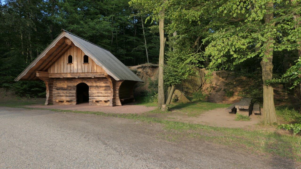
Przystanek odświeżania
Kulturalny/Historyczny
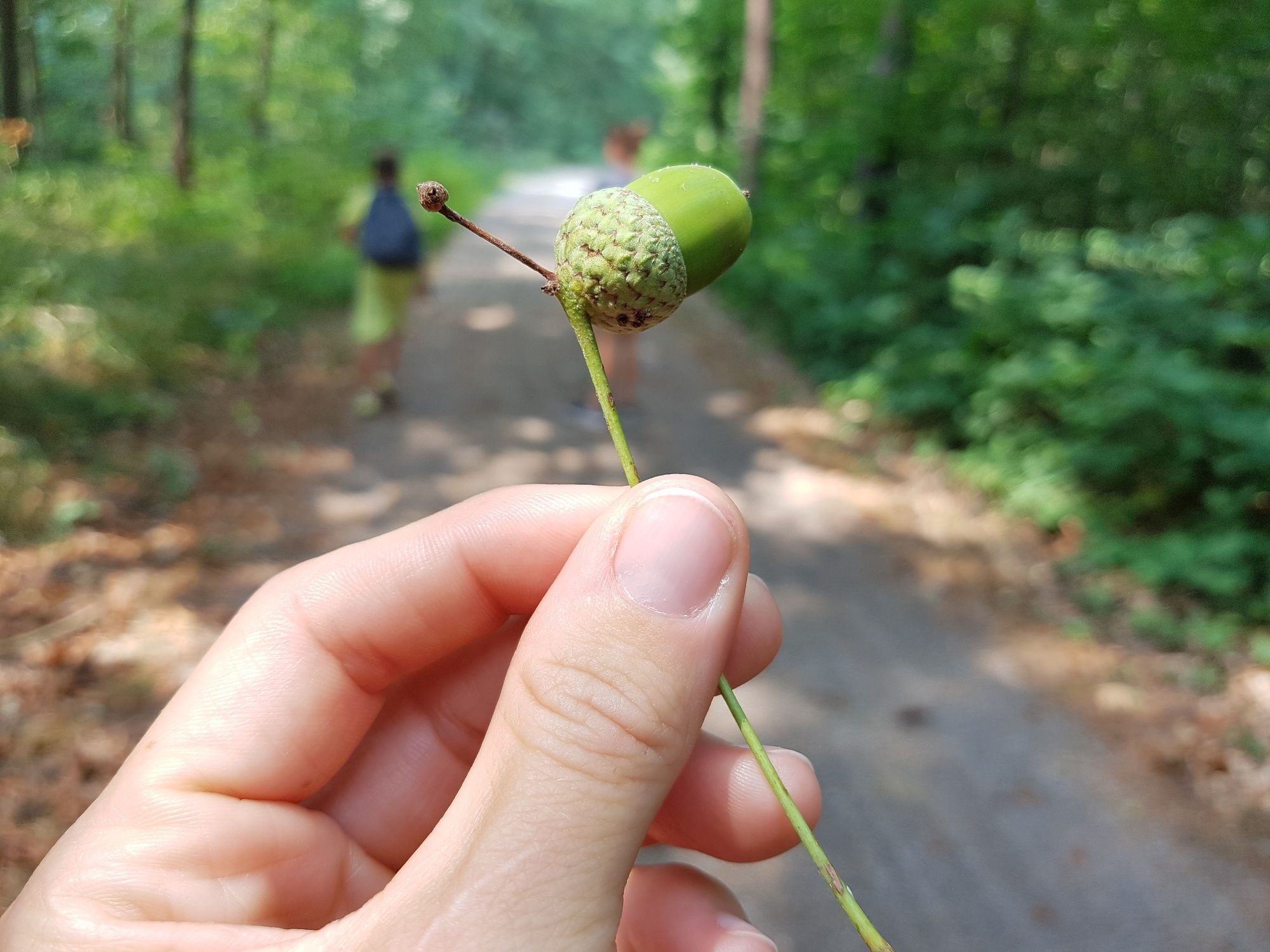
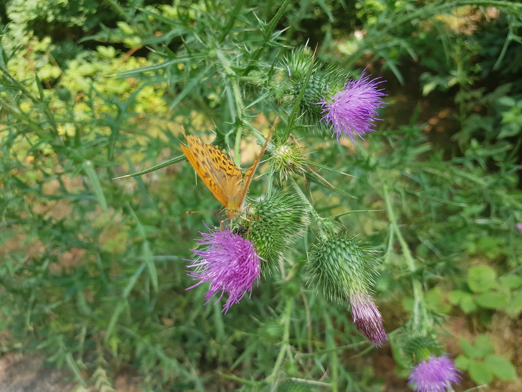
Fauna
Obiecujący
Więcej wycieczek w regionach
-
Dresden Elbland
626
-
Dresden
577
-
Moritzburg
106