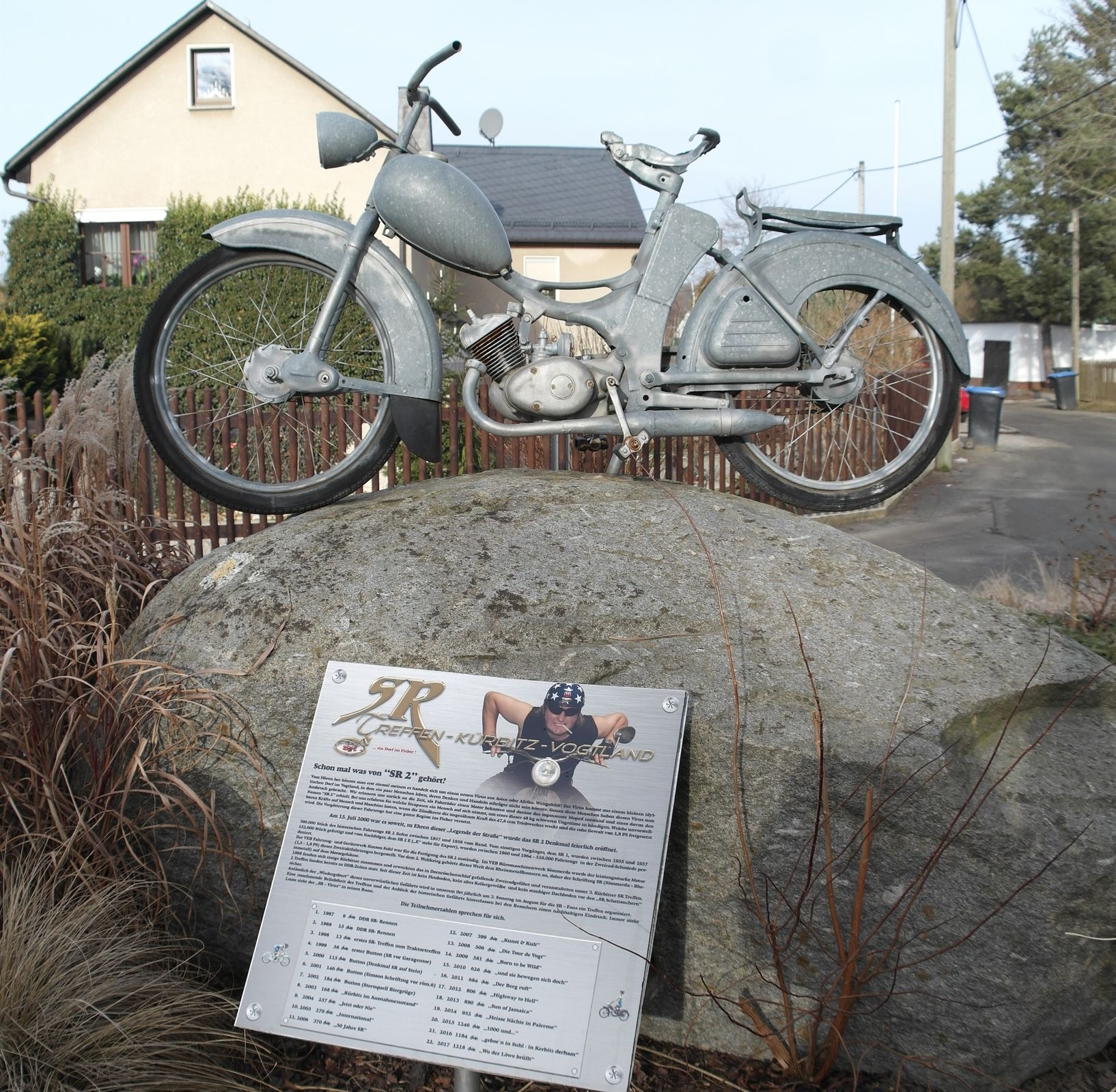
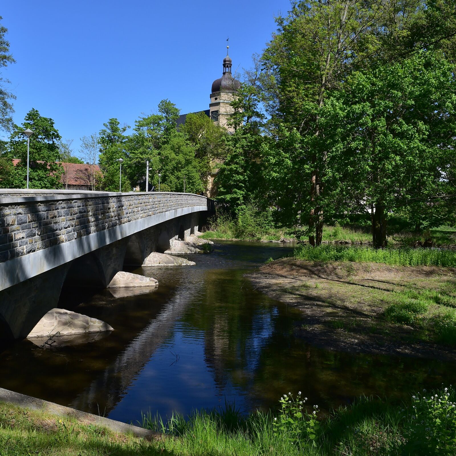
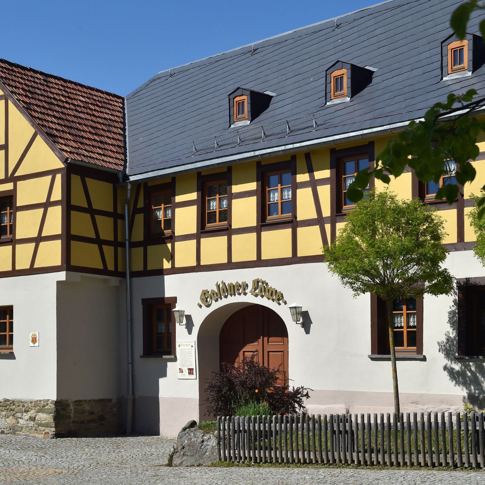
© FVV Rosenbach/ Vogtl. e.V.

© FVV Rosenbach/ Vogtl. e.V./ A.Wetzel

© FVV Rosenbach/ Vogtl. e.V./ A. Wetzel

- Krótki opis
-
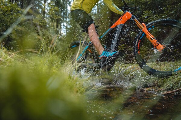
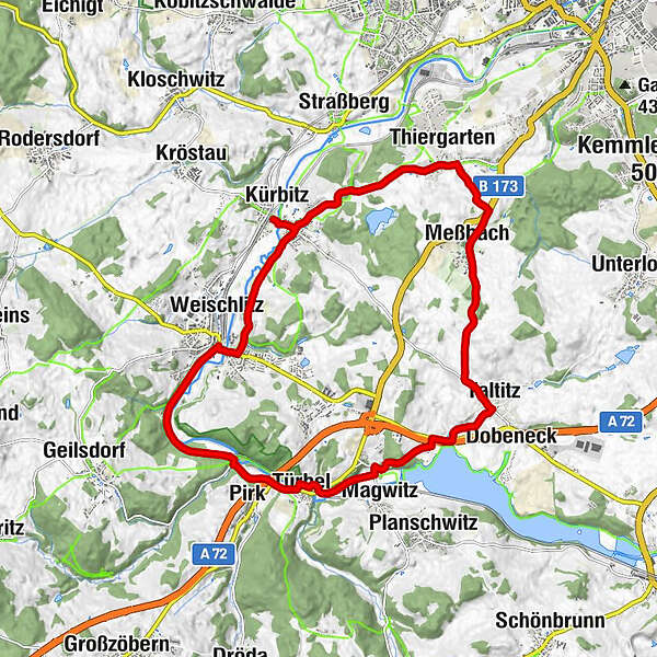
Das Dorf Kürbitz liegt im idyllischen Tal der Weißen Elster, umgeben von der grünen Hügellandschaft des sächsischen Vogtlands. Die Radtour führt über ca. 20 km.
- Stopień trudności
-
średni
- Ocena
-
- Trasa
-
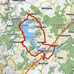
KürbitzSalvatorkirche0,2 kmLandgasthof Strobel0,3 kmZum Grünen Tal0,4 kmWeischlitz2,7 kmPirk5,8 kmJudiths Brückenstüb`l6,0 kmTürbel6,5 kmRosenthal7,0 kmGöswein8,0 kmTaltitz10,3 kmMeßbach12,9 kmPlauen14,5 kmThiergarten14,8 kmLandgasthof Strobel17,3 kmSalvatorkirche17,5 kmKürbitz17,7 km
- Najwyższy punkt
- 453 m
- Miejsce docelowe
-
Elsterbrücke Kürbitz
- Profil wysokości
-
 © outdooractive.com
- Autor
-
Wycieczka Mit dem Rad ums Dorf - Kürbitz Kleine Tour jest używany przez outdooractive.com pod warunkiem.
GPS Downloads


Informacje ogólne
Przystanek odświeżania
Kulturalny/Historyczny
Wskazówka dla osób mających dostęp do poufnych informacji
Więcej wycieczek w regionach
-
Vogtland / Thüringen
85
-
Plauen
18