© oberlausitz. - Tourismuszentrum Naturpark Zittauer Gebirge

Dane wycieczki
20,46km
240
- 471m
230hm
224hm
02:00h
- Krótki opis
-
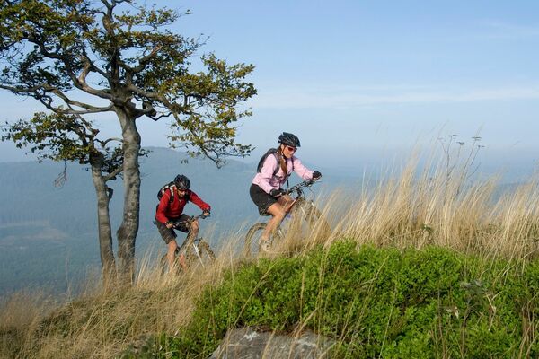
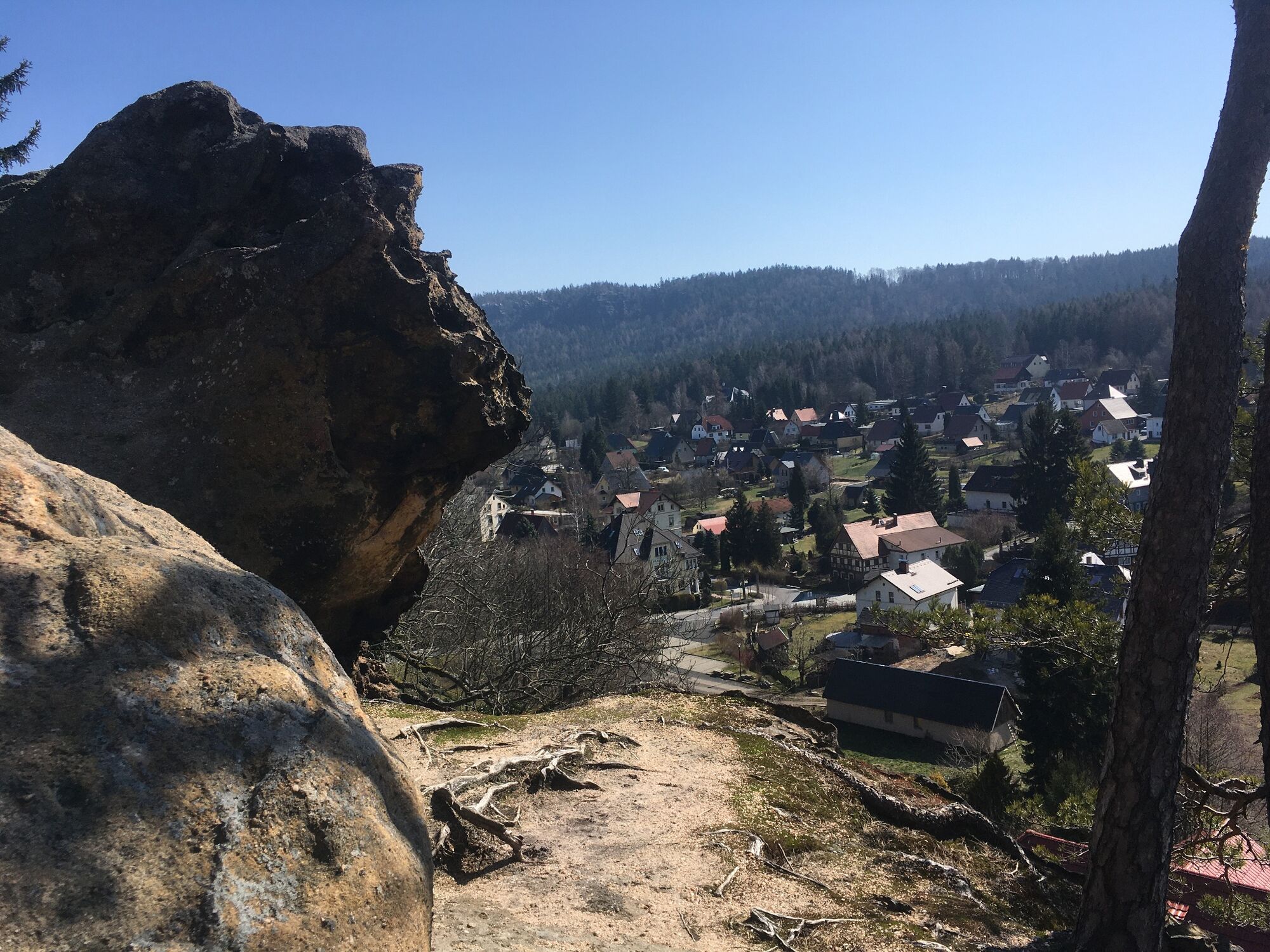
Bei dieser recht einfachen Tour bekommt man schon mal einen schönen Eindruck vom Zittauergebirge und seinen Felsformationen.
- Stopień trudności
-
łatwe
- Ocena
-
- Trasa
-
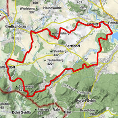
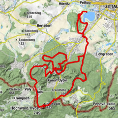
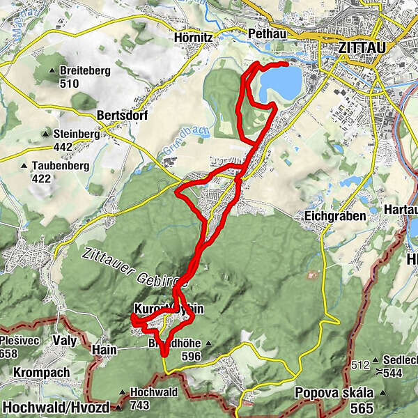
Haus am SeeZittau (242 m)Olbersdorf4,3 kmGrundbachsiedlung4,5 kmVolksbad5,1 kmRandsiedlung5,2 kmBertsdorf (336 m)5,7 kmOybin (289 m)9,1 kmHandschuh9,3 kmKleine Burg9,3 kmHexenstein9,3 kmOybin9,3 kmHölle10,0 kmHöllenkanzel10,3 kmGeburtstagsspitze11,1 kmChalice Rock Guard11,8 kmChalice Rock11,9 kmHauptrosenstein12,1 kmRosenstumpf12,2 kmRosenspitze12,2 kmWood Gate Keeper12,2 kmHoher Rosenstein12,2 kmElefantenkopf12,2 kmAmeise12,3 kmJubiläumsturm12,3 kmMTB Mutstein12,7 kmObere Sumpfbuschspitze12,7 kmStädtel16,4 kmOlbersdorf17,0 kmOlbersdorf Oberdorf17,3 kmZittau (242 m)20,4 kmCaptain Hook20,4 km
- Najlepszy sezon
-
stylutmarkwimajczelipsiewrzpaźlisgru
- Najwyższy punkt
- 471 m
- Miejsce docelowe
-
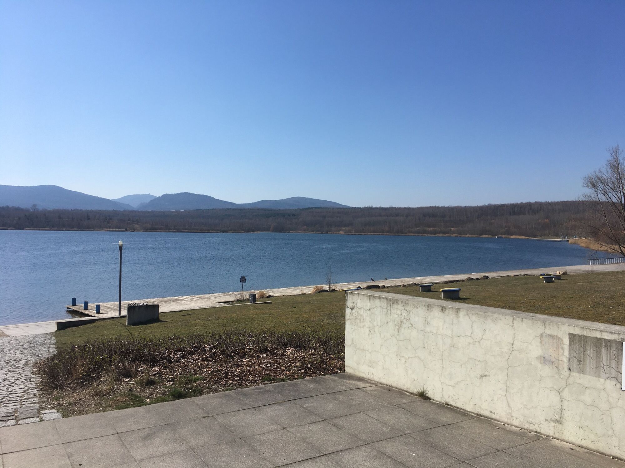
Seestern am Olbersdorfer See
- Profil wysokości
-
 © outdooractive.com
-

-
AutorWycieczka Leichte MTB Tour um Oybin jest używany przez outdooractive.com pod warunkiem.
GPS Downloads


Informacje ogólne
Przystanek odświeżania
Kulturalny/Historyczny
Więcej wycieczek w regionach