© Fremdenverkehrszweckverband Pfälzer Bergland

© Zum Wohl. Die Pfalz. - Jürgen Wachowski

© FVZV Pfälzer Bergland

© VG Oberes Glantal

© VG Oberes Glantal

© Fremdenverkehrszweckverband Pfälzer Bergland

© Tourismusbüro Pfälzer Bergland

© Harald Wagner

© FVZV Pfälzer Bergland

© Sigmund Niebergall

- Krótki opis
-
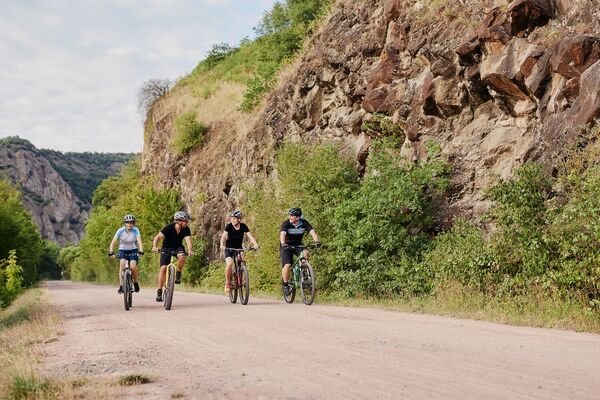
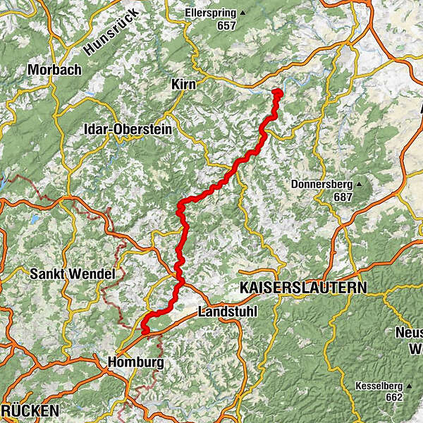
From France through the eastern Saarland and the North Palatinate to the Naheland, the cycle route runs along the Blies and Glan, two of the most important tributaries of the Saar and Nahe rivers. With no long climbs, just a few short ascents on designated paths, this cycle route is straightforward and safe for everyone.
- Stopień trudności
-
średni
- Ocena
-
- Trasa
-
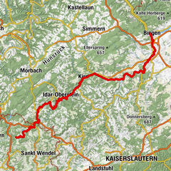
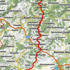
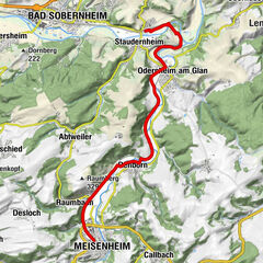
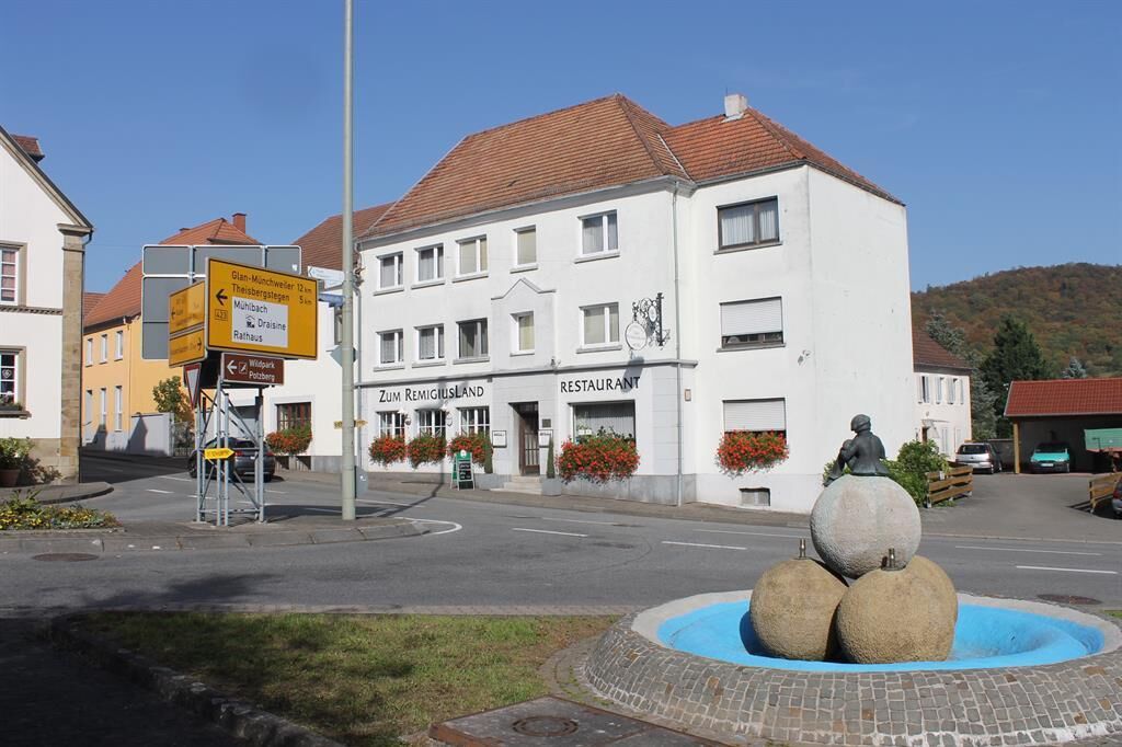
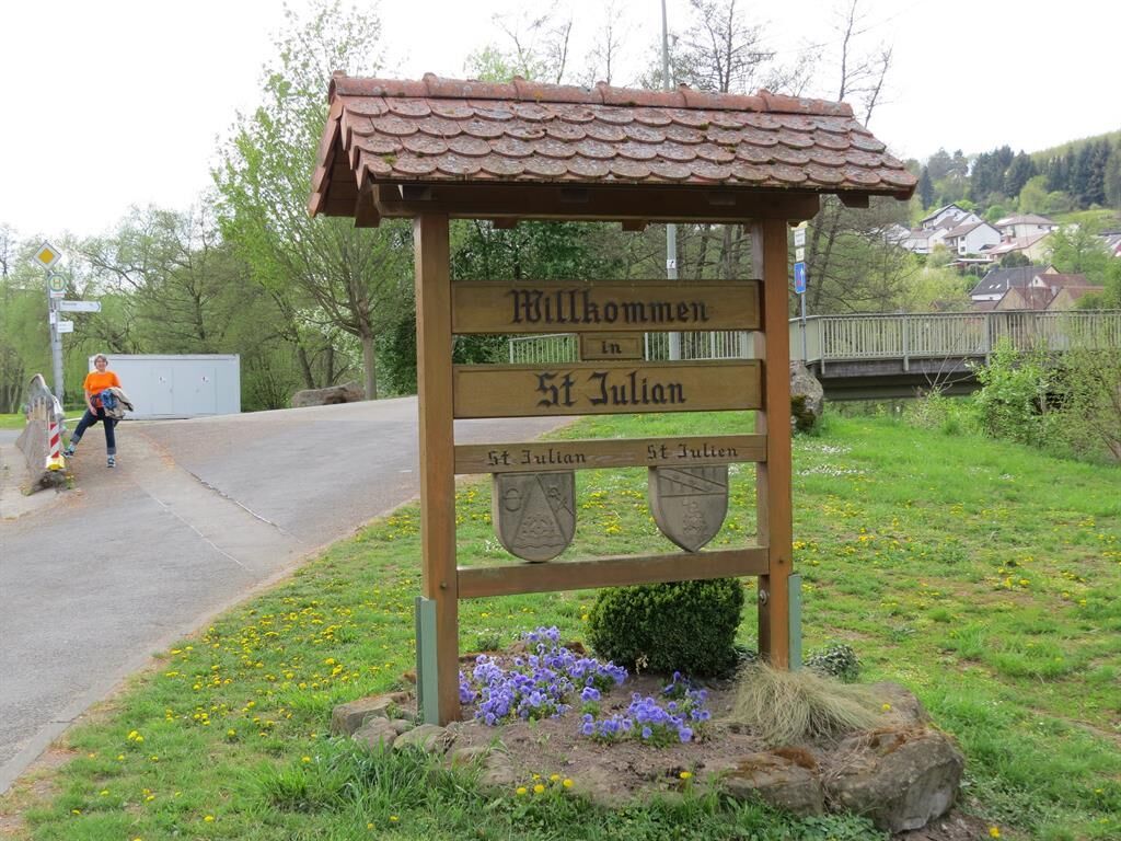
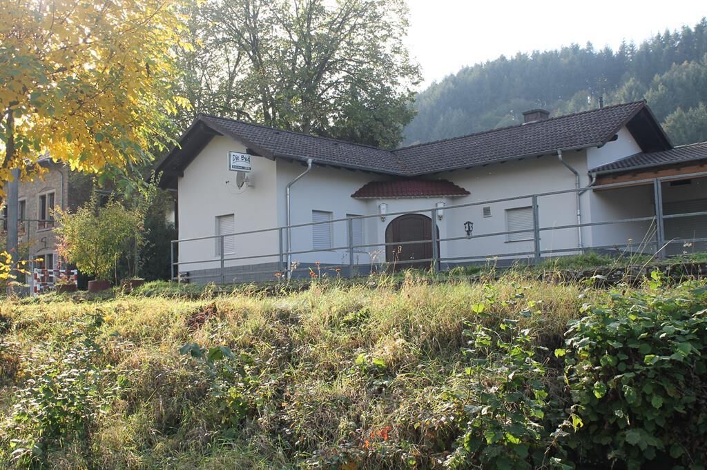
Restaurant Fischerhütte Waldmohr2,4 kmKübelberg4,9 kmElschbach Am Bahnhof9,4 kmElschbach10,8 kmDietschweiler13,5 kmNanzdietschweiler14,5 kmGlan-Münchweiler18,1 kms' Budche18,1 kmGlan-Münchweiler18,3 kmRehweiler20,4 kmMatzenbach22,0 kmGimsbach23,6 kmZum alten Wasserwerk23,7 kmGodelhausen24,3 kmTheisbergstegen25,5 kmGasthaus zum Potzberg25,5 kmRutsweiler am Glan26,6 kmMühlbach am Glan28,9 kmAltenglan29,5 kmChina Garten29,5 kmPatersbach31,7 kmBedesbach31,8 kmErdesbach33,3 kmUlmet34,7 kmRathsweiler37,6 kmEschenau40,1 kmGumbsweiler41,5 kmAll American Diner42,0 kmSankt Julian42,6 kmGlanbrücken43,8 kmSt.Valentin44,1 kmShisha Lounge 4744,2 kmHundheim46,1 kmOffenbach-Hundheim46,7 kmWiesweiler49,0 kmSt.-Josefs-Kapelle51,1 kmLauterecken51,5 kmLauterecken-Grumbach51,8 kmMedard54,4 kmPappelapap58,4 kmOdenbach58,5 kmBodelschwingh-Zentrum60,4 kmMeisenheim61,8 kmRaumbach63,6 kmRehborn66,2 kmOdernheim am Glan70,9 kmWeingut H. Grossarth71,1 kmCJD Niedermühle72,1 kmKloster Disibodenberg72,1 kmStaudernheim74,8 km
- Najlepszy sezon
-
stylutmarkwimajczelipsiewrzpaźlisgru
- Najwyższy punkt
- 261 m
- Miejsce docelowe
-
Staudernheim
- Profil wysokości
-
 © outdooractive.com


- Autor
-
Wycieczka Glan-Blies Cycle Route jest używany przez outdooractive.com pod warunkiem.
GPS Downloads


Informacje ogólne
Flora
Obiecujący
Więcej wycieczek w regionach