© Eifel Tourismus GmbH - D. Ketz

© Outdooractive – 3D Videos

© Touristinfo Lutzerath

© Eifelsüchtig - U. Peters

© GesundLand Vulkaneifel GmbH

© GesundLand Vulkaneifel GmbH

© Eifelsüchtig - U. Peters

© GesundLand Vulkaneifel GmbH

© GesundLand Vulkaneifel GmbH

© GesundLand Vulkaneifel GmbH


- Krótki opis
-
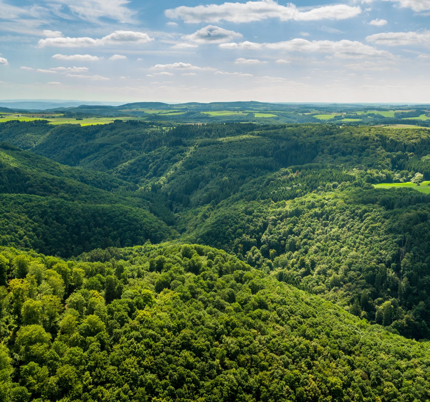
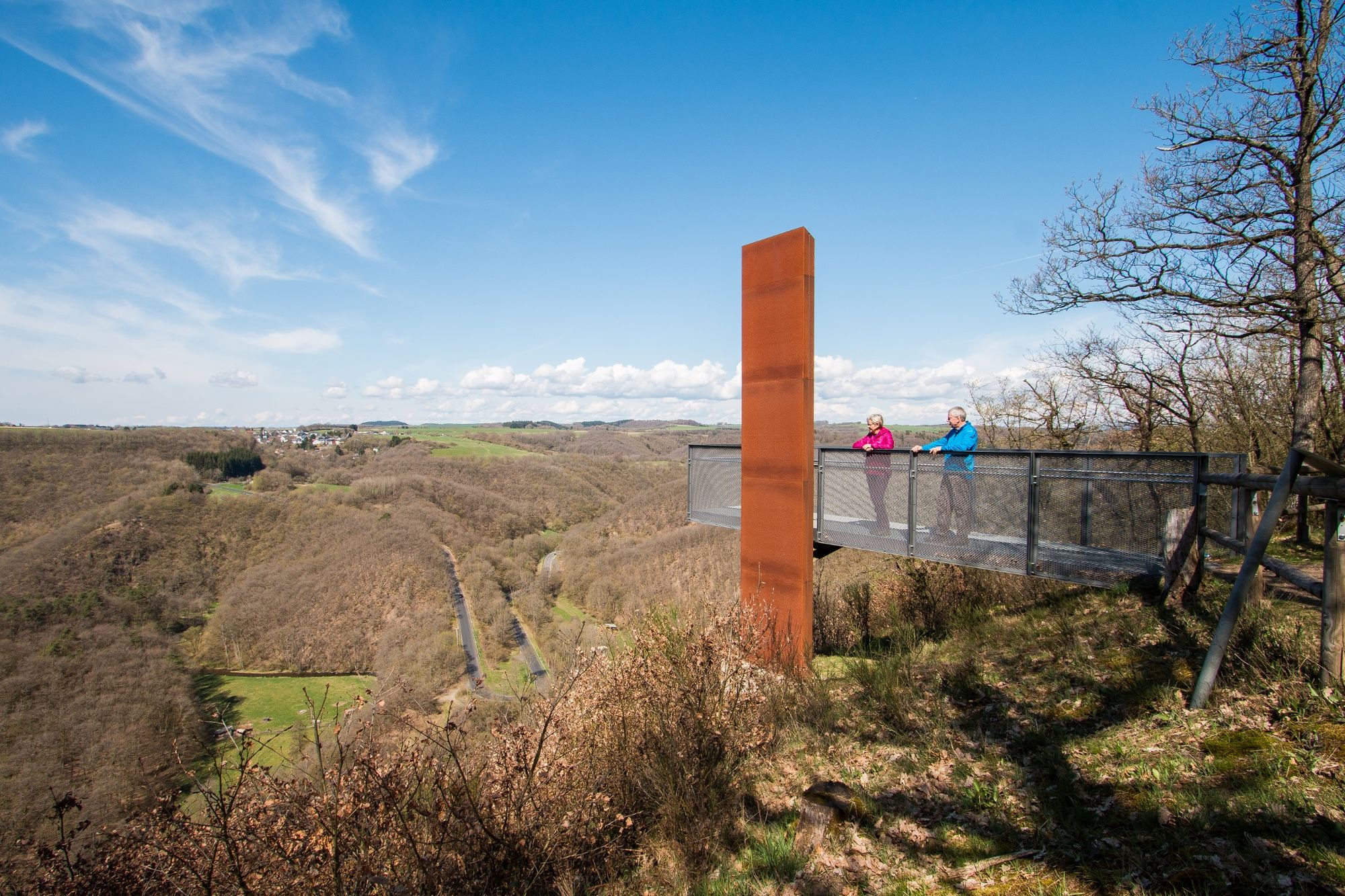
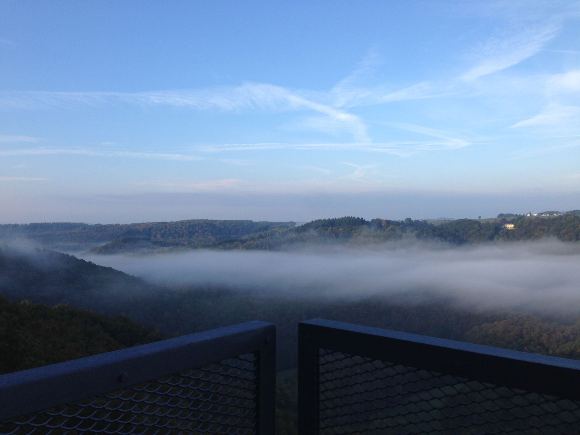
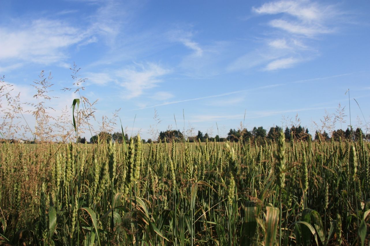
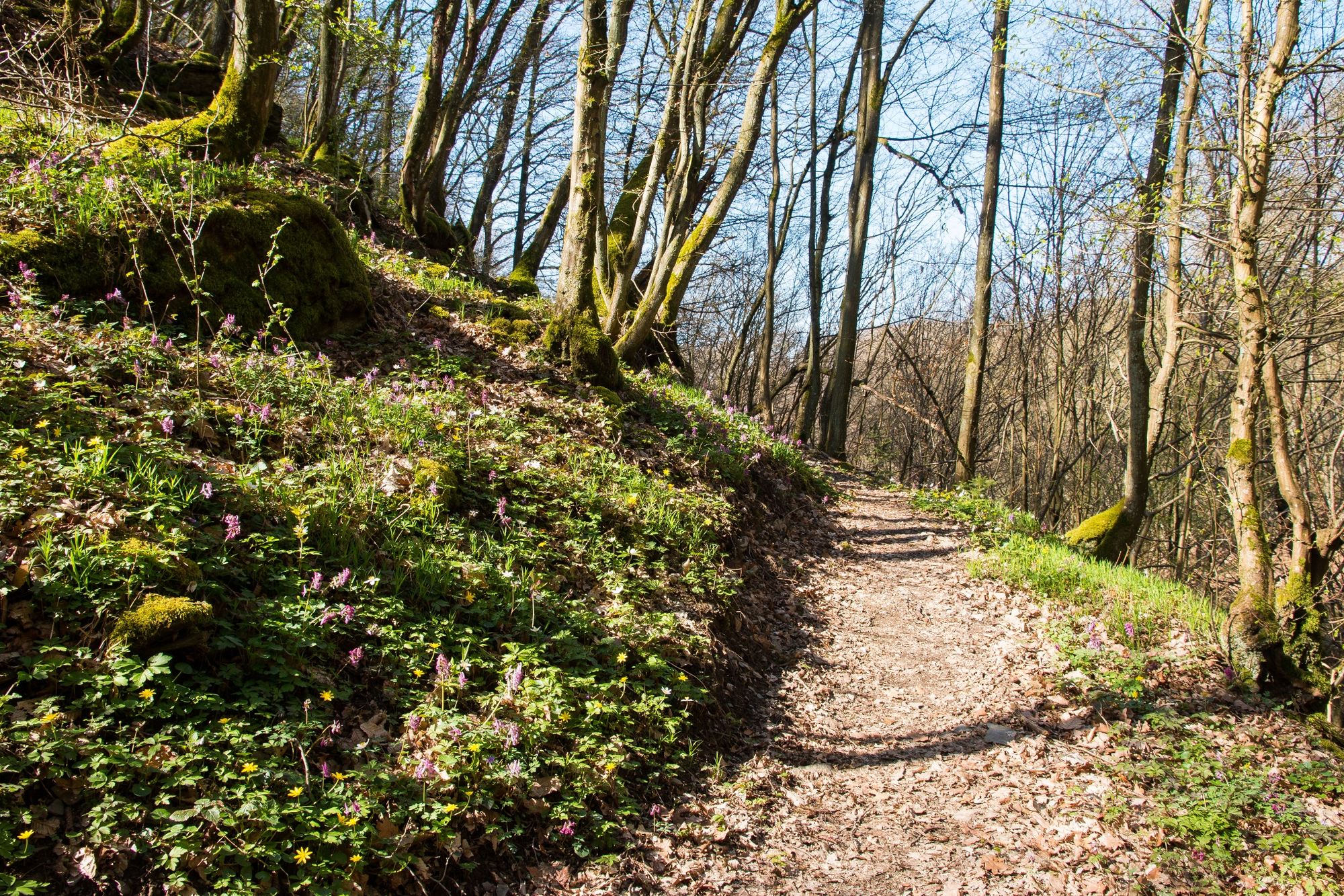
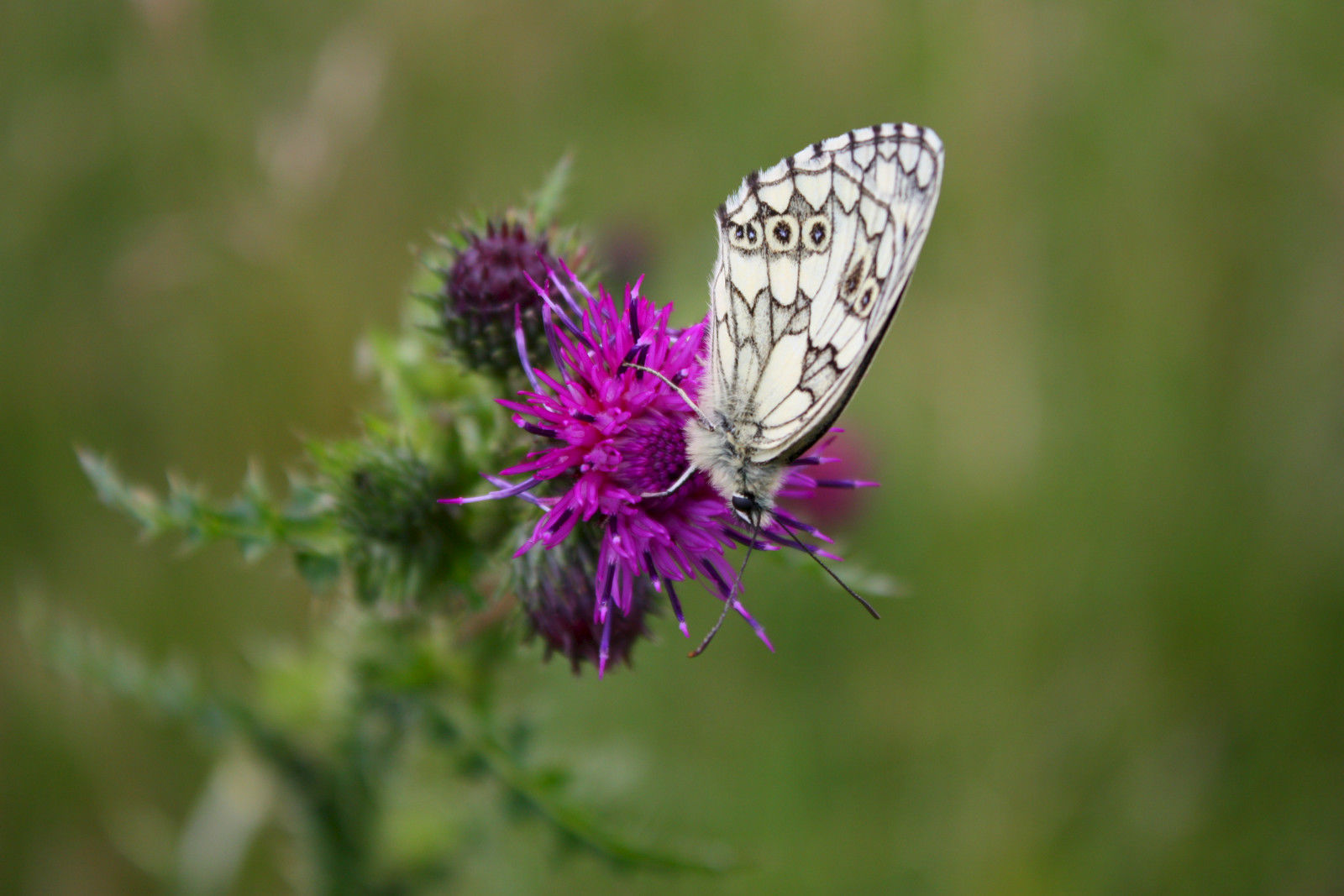
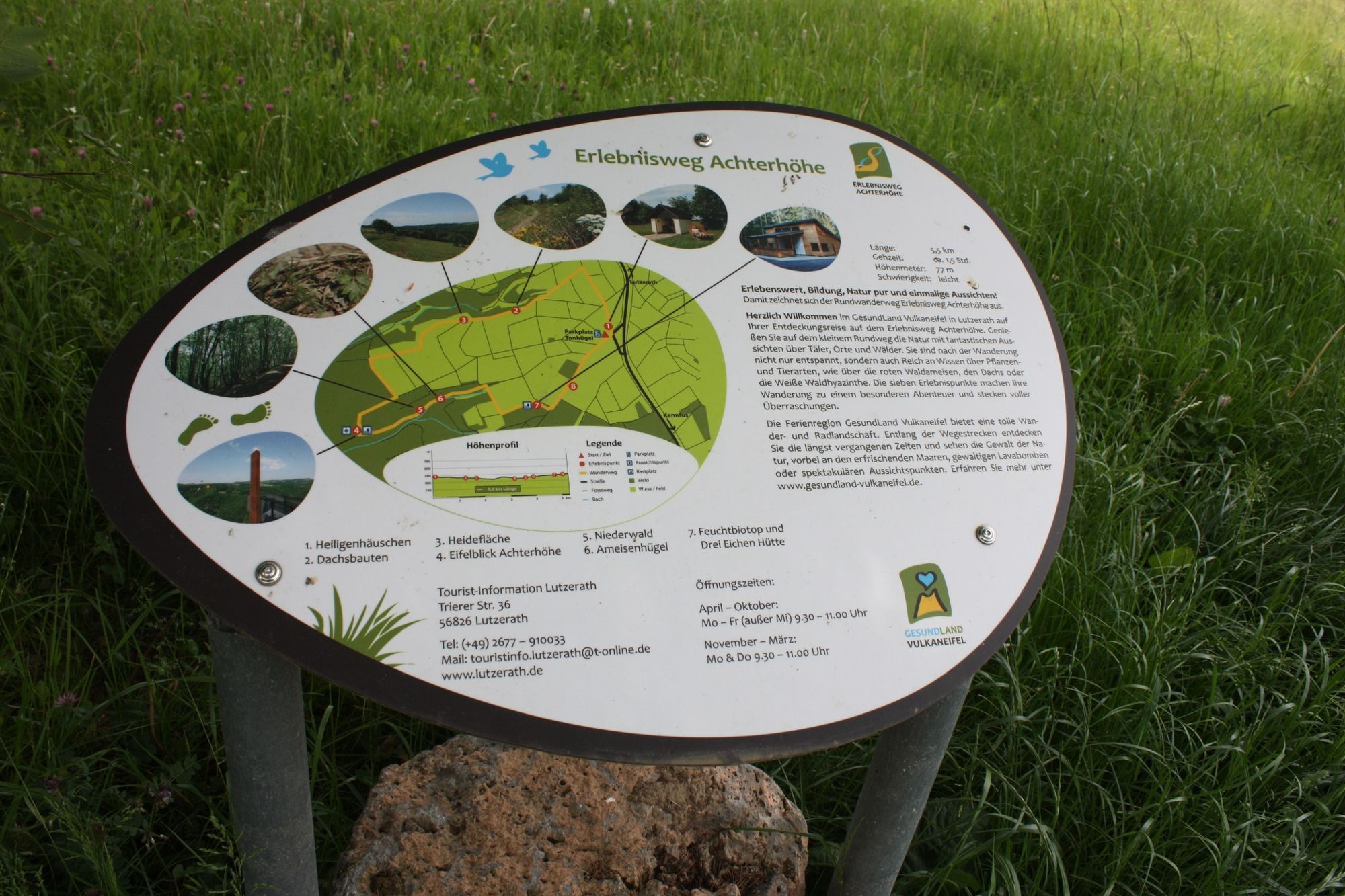
The new Achterhöhe adventure trail not only offers wonderful panoramic views of the unique landscape of the Volcanic Eifel, but also takes you very close to rare flora and fauna.
- Stopień trudności
-
łatwe
- Ocena
-
- Trasa
-
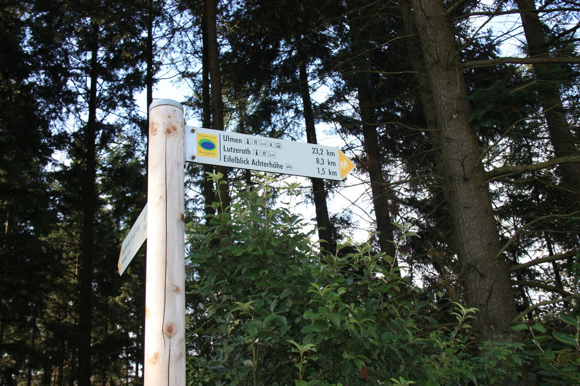
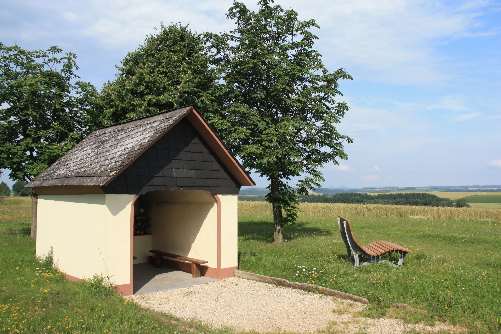
Hammes Heiligenhäuschen0,1 kmHammes Heiligenhäuschen5,2 km
- Najlepszy sezon
-
stylutmarkwimajczelipsiewrzpaźlisgru
- Najwyższy punkt
- 433 m
- Miejsce docelowe
-
Hiking car park Tonhügel, 56826 Lutzerath
- Profil wysokości
-
 © outdooractive.com


-

-
AutorWycieczka HeimatSpur Adventure Trail Achterhöhe jest używany przez outdooractive.com pod warunkiem.
GPS Downloads


Informacje ogólne
Flora
Fauna
Obiecujący
Więcej wycieczek w regionach
-
Mosel-Saar
1078
-
Moselregion Traben-Trarbach Kröv
649
-
Lutzerath
182