Cycle tour around Trier - Tour 1: On the Ruwer-Hochwald Cycle Path

Jazda na rowerze

© Mosellandtouristik GmbH - Dominik Ketz

© Mosellandtouristik GmbH - Dominik Ketz

© Mosellandtouristik GmbH - Dominik Ketz

© Mosellandtouristik GmbH - Dominik Ketz

© Mosellandtouristik GmbH - Dominik Ketz

© Mosellandtouristik GmbH - Dominik Ketz

© Mosel. Faszination Urlaub - Simone Pfeiffer

© Mosel. Faszination Urlaub - Simone Pfeiffer

© Mosel. Faszination Urlaub - Simone Pfeiffer

© Mosel. Faszination Urlaub - Simone Pfeiffer
- Krótki opis
-
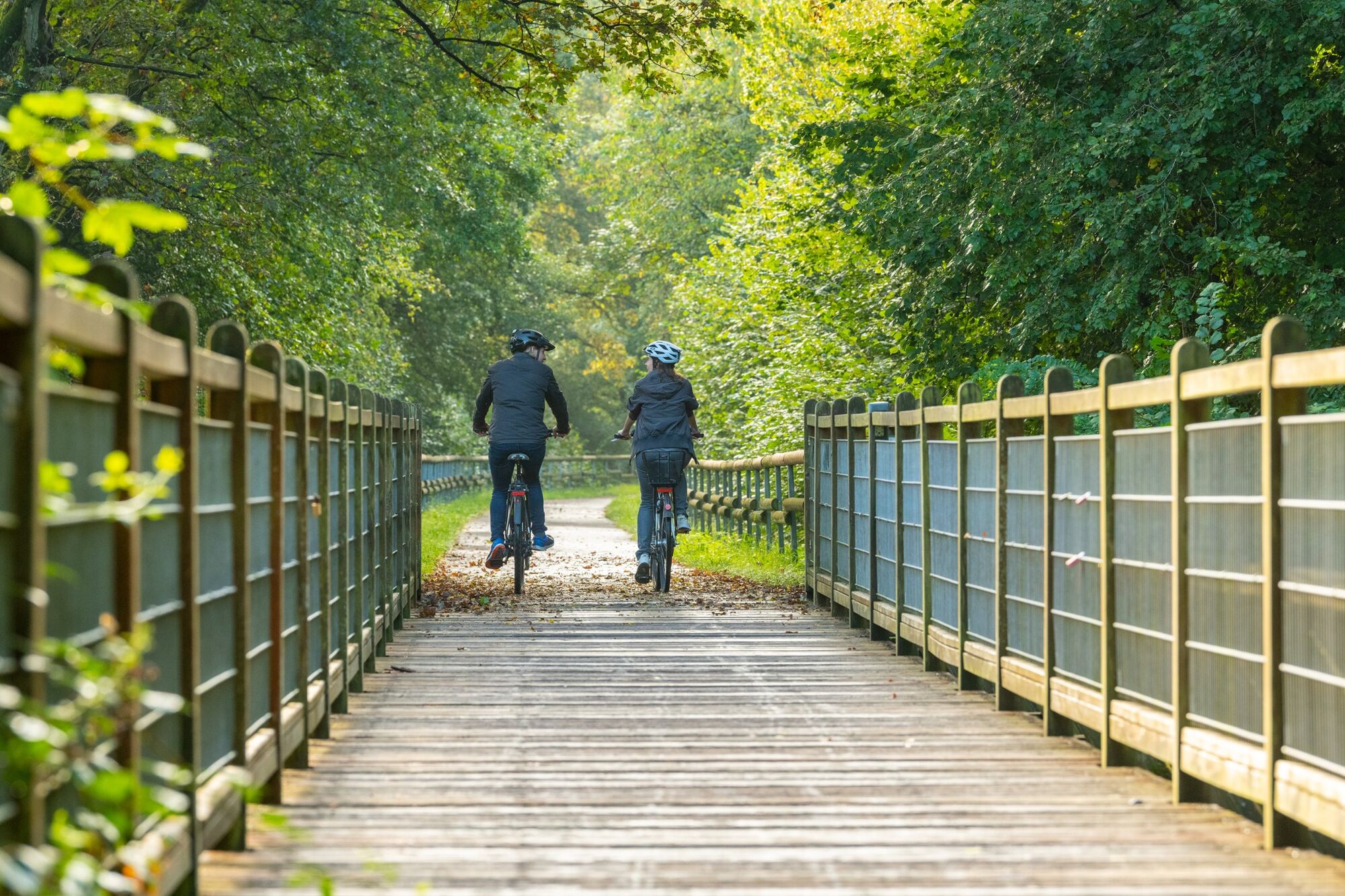
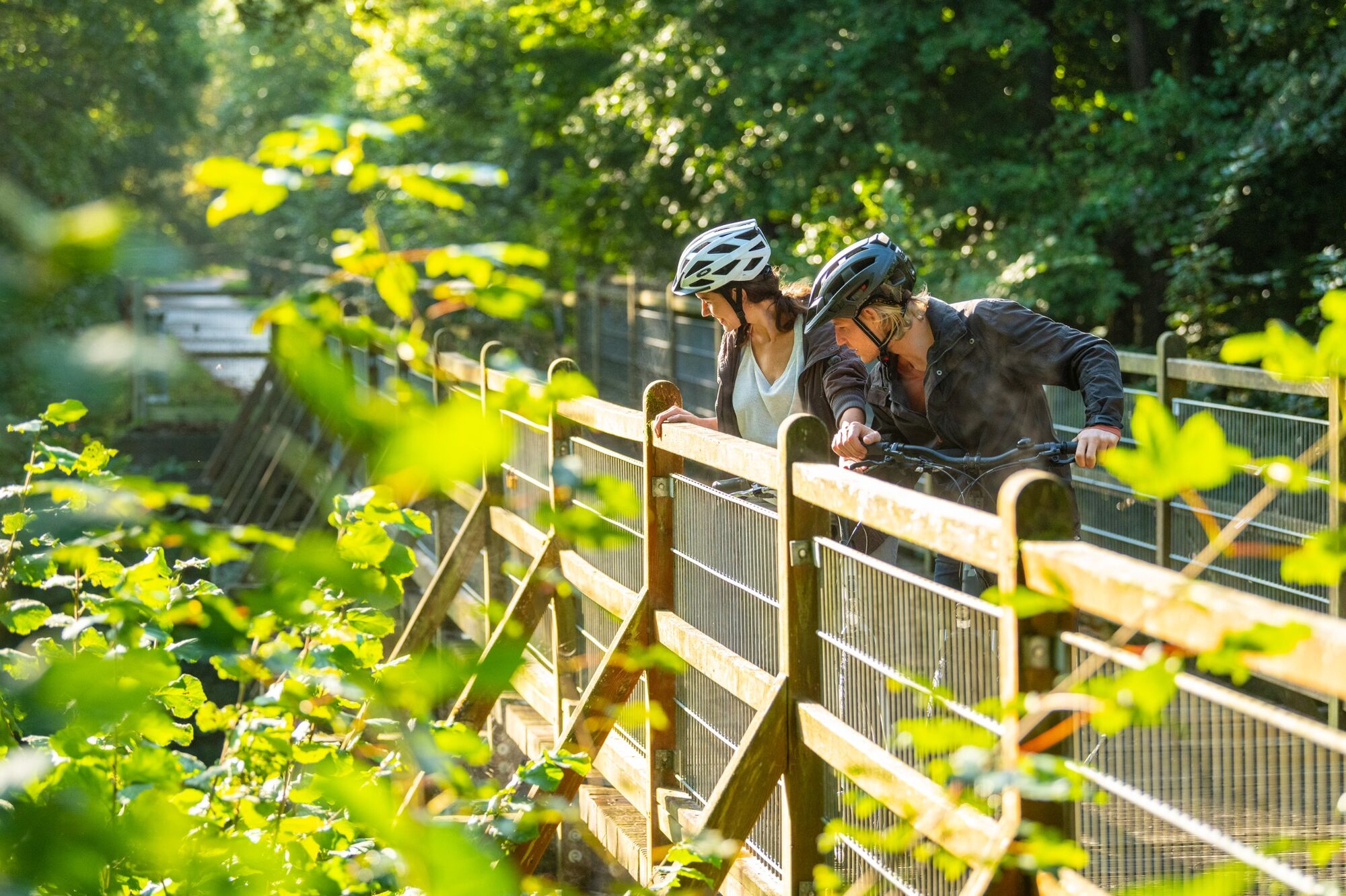
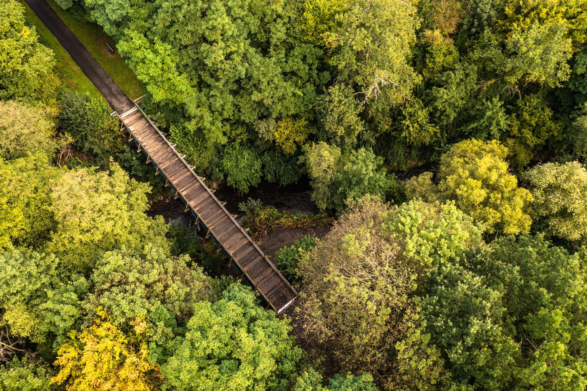
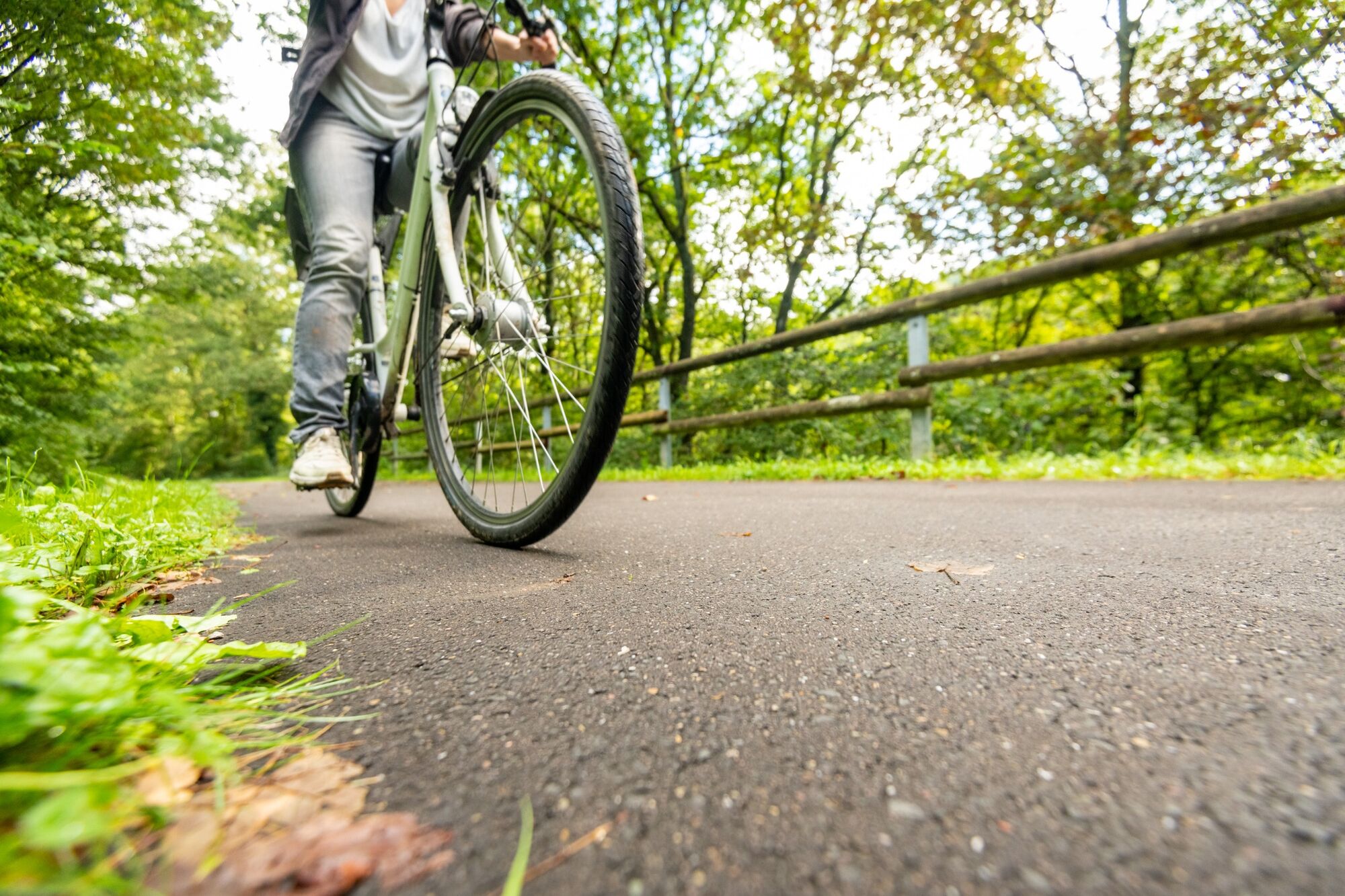
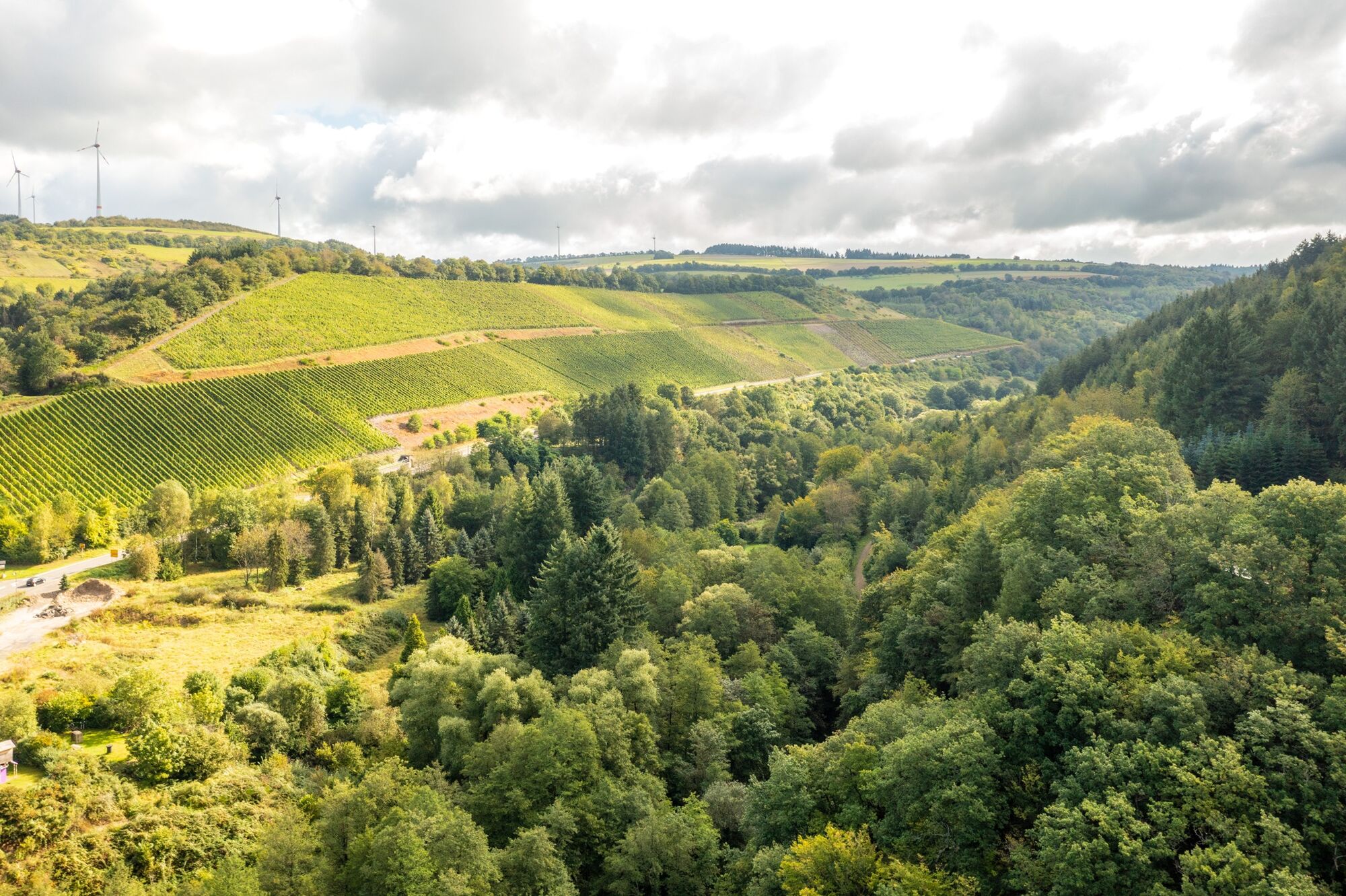
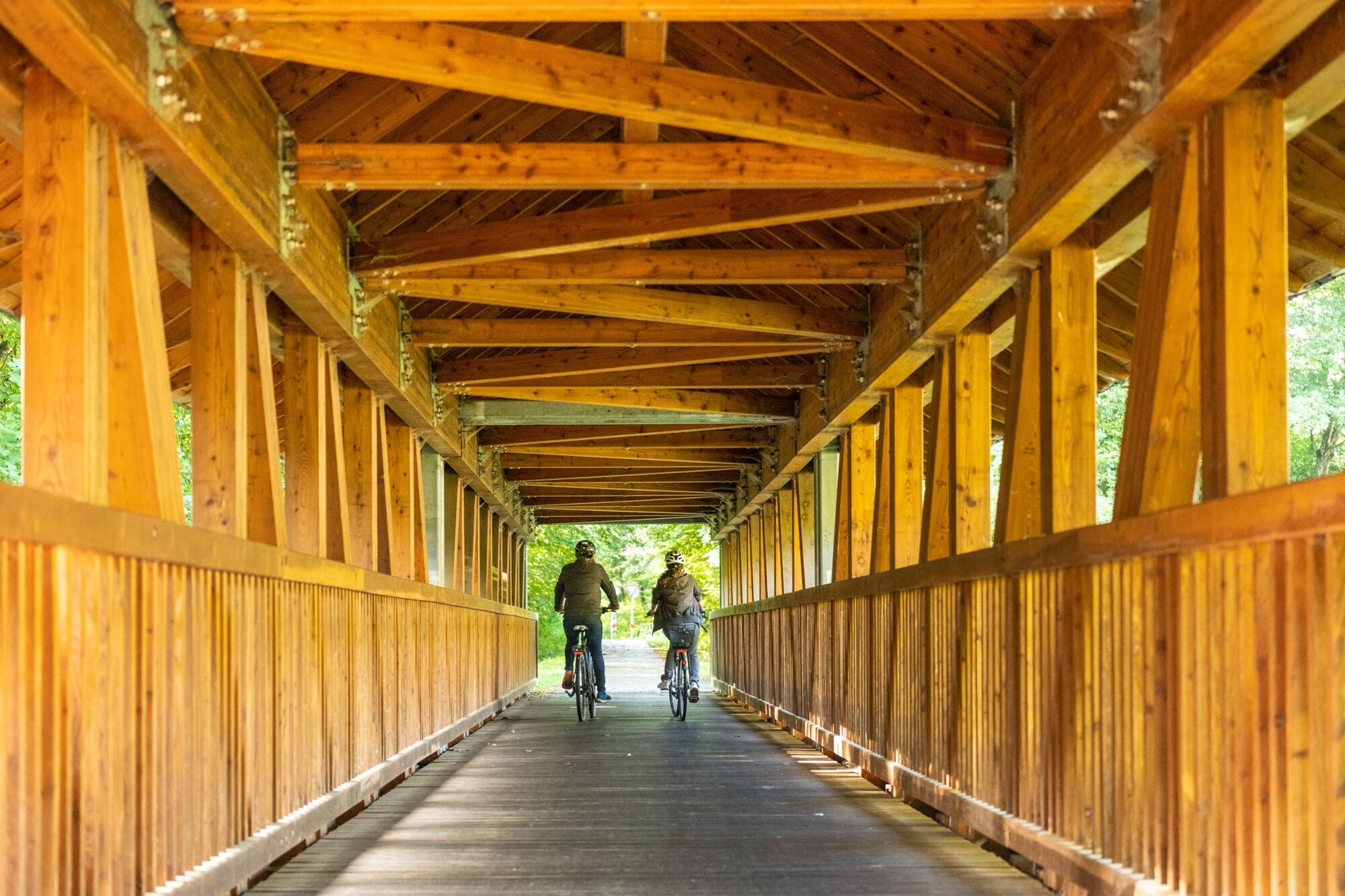
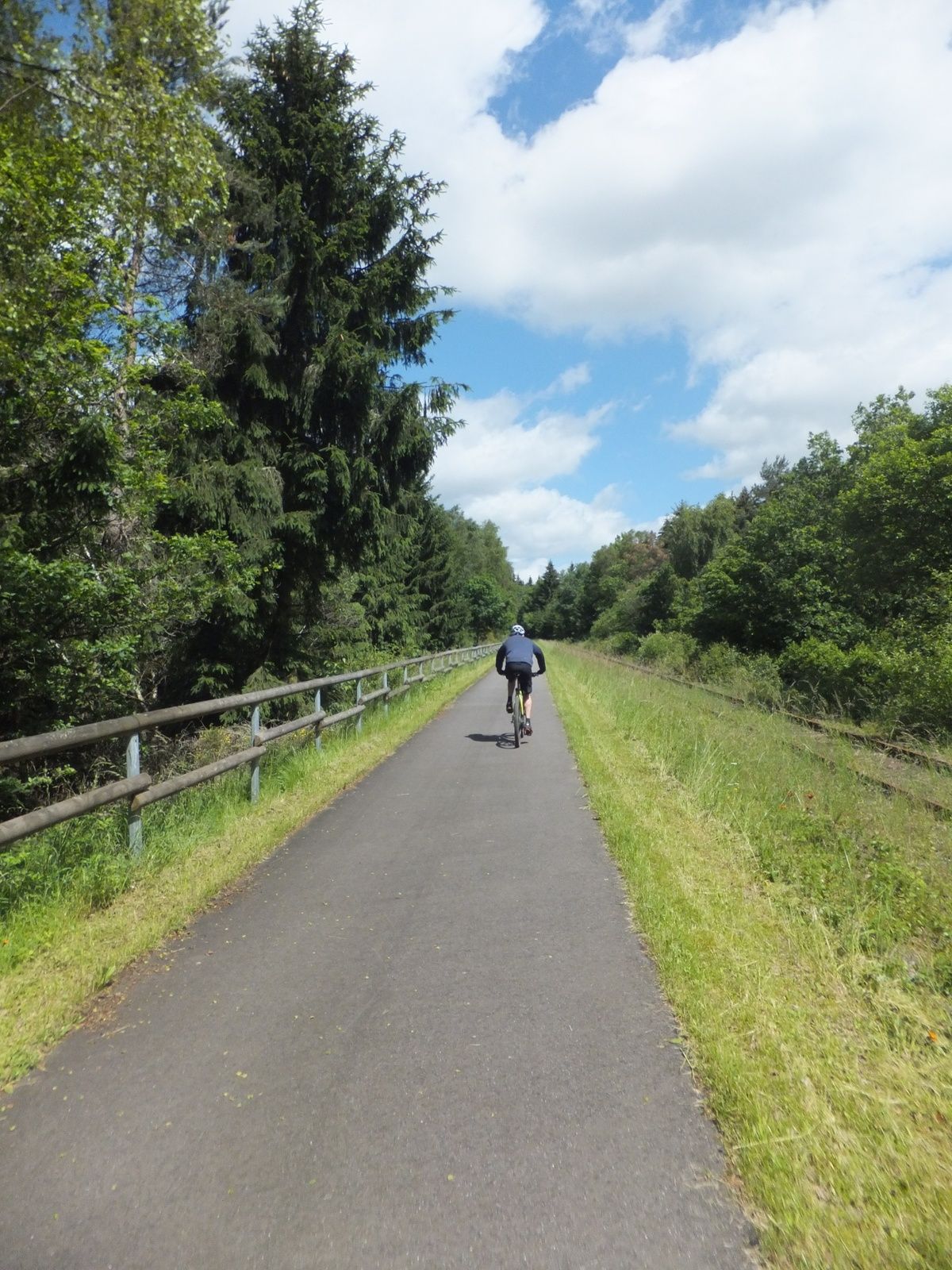
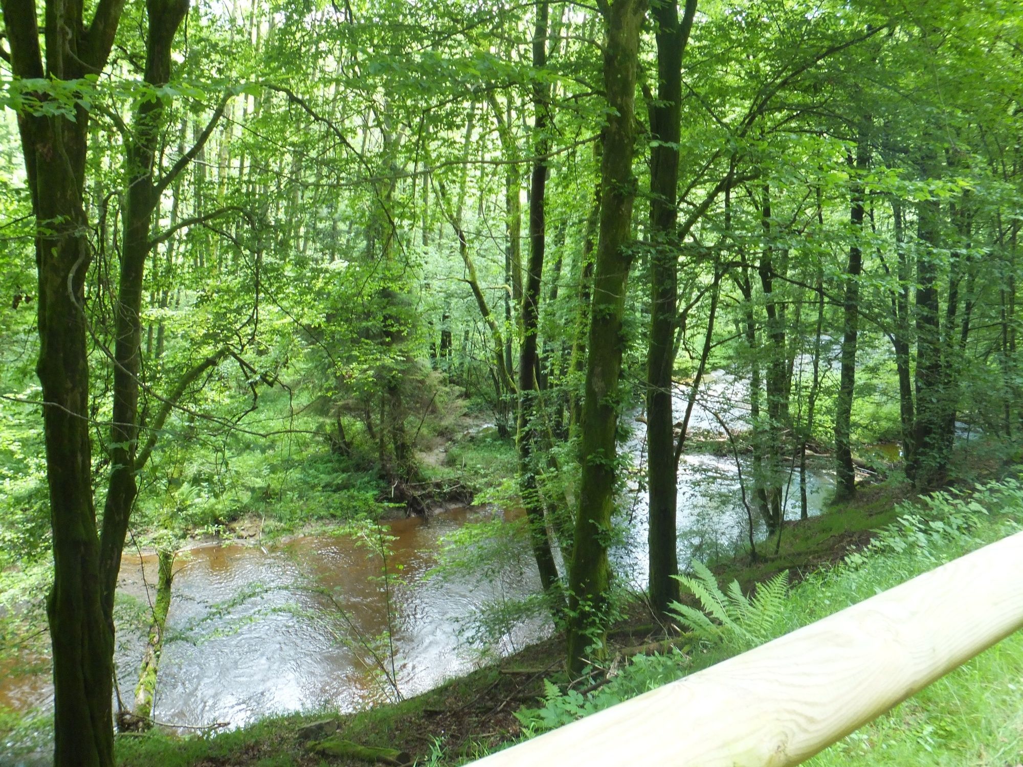
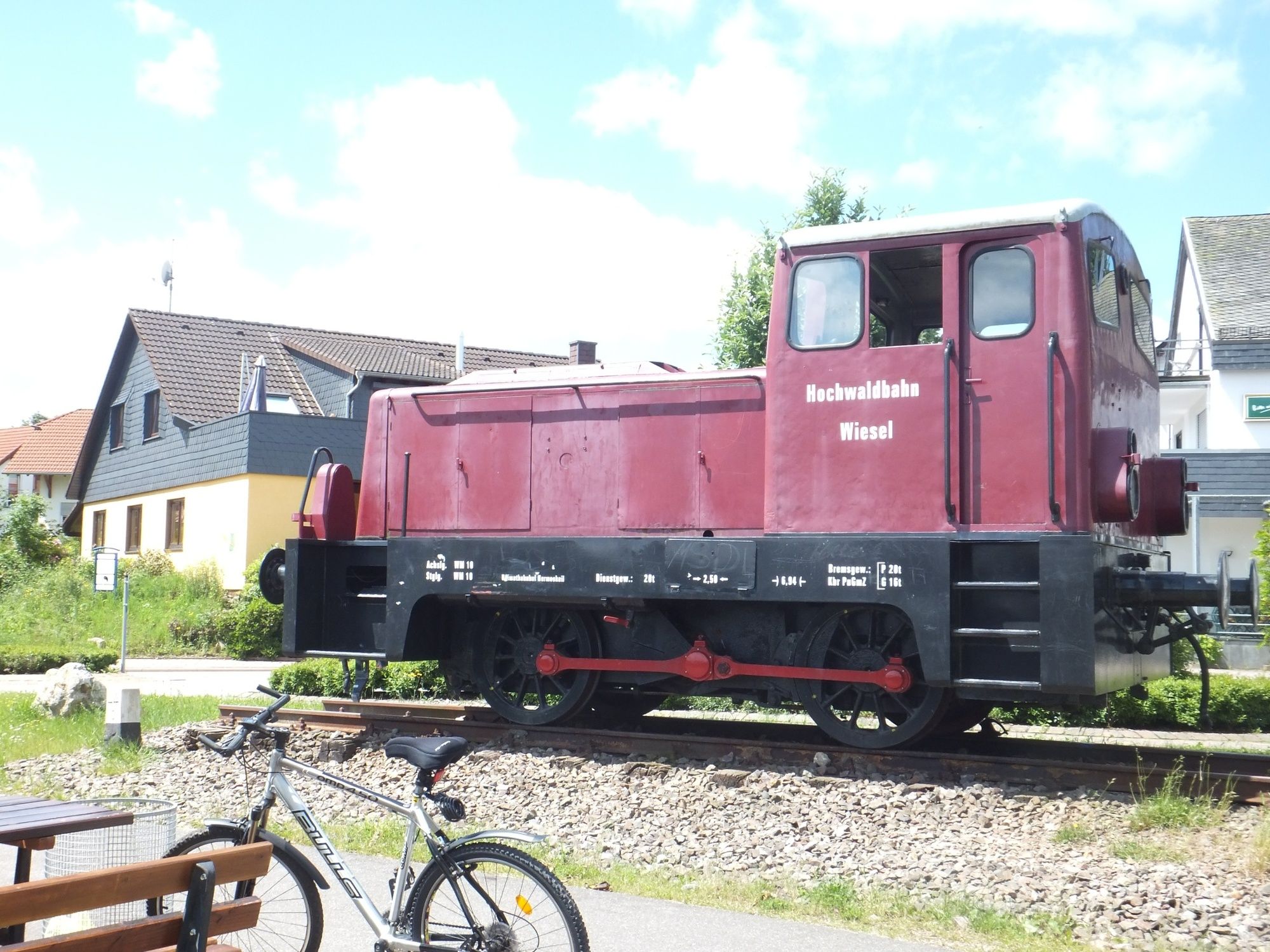
Where bicycles roll today, trains used to steam. The historic railroad line of the Ruwer-Hochwald-Bahn is transformed into the Ruwer-Hochwald Cycle Path. Like the former railroad line, the bike path connects the heights of the Hunsrück with the Moselle valley.
- Stopień trudności
-
łatwe
- Ocena
-
- Trasa
-
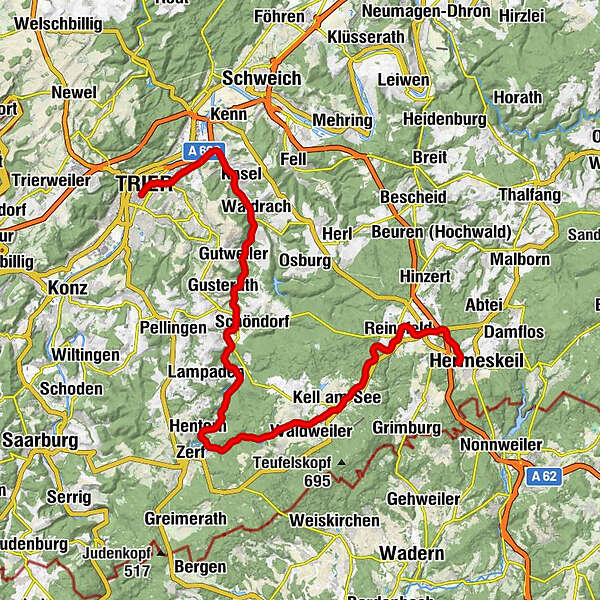
Reinsfeld6,2 kmRestaurant Zur Post12,9 kmBrasserie Typisch13,1 kmKell am See13,5 kmNiederkell16,6 kmHentern24,8 kmHinzenburg32,4 kmOllmuth33,2 kmGeizenburg33,6 kmPluwiger Hammer34,4 kmGasthaus Reh38,0 kmWasserfälle der Ruwer38,7 kmRistorante Italiano im Gut Sommerau38,8 kmSommerau38,9 kmWaldracher Kebaphaus42,5 kmWaldrach42,7 kmKasel44,5 kmKapelle45,7 kmCalifornia im Ruwertal45,8 kmRuwer47,5 kmDa Luigi47,6 kmNord52,7 kmTrier (137 m)53,2 kmAltstadt53,8 km
- Najlepszy sezon
-
stylutmarkwimajczelipsiewrzpaźlisgru
- Najwyższy punkt
- 524 m
- Miejsce docelowe
-
Trier
- Profil wysokości
-
 © outdooractive.com
- Autor
-
Wycieczka Cycle tour around Trier - Tour 1: On the Ruwer-Hochwald Cycle Path jest używany przez outdooractive.com pod warunkiem.
GPS Downloads


Informacje ogólne
Przystanek odświeżania
Więcej wycieczek w regionach
-
Mosel-Saar
117
-
Hochwald Ferienland
58
-
Waldrach
12