© Ahrtal-Tourismus Bad Neuenahr-Ahrweiler e.V. - Dominik Ketz

© Dominik Ketz

© Dominik Ketz - Carolin Gemein

© Ahrtal-Tourismus Bad Neuenahr-Ahrweiler e.V. - Christopher Pfromm

© Dominik Ketz - Carolin Gemein

© Ahrtal-Tourismus Bad Neuenahr-Ahrweiler e.V. - Dominik Ketz

© Ahrtal-Tourismus Bad Neuenahr-Ahrweiler e.V. - Dominik Ketz

© Ahrtal-Tourismus Bad Neuenahr-Ahrweiler e.V. - Christopher Pfromm

© Ahrtal-Tourismus Bad Neuenahr-Ahrweiler e.V. - Dominik Ketz
- Krótki opis
-
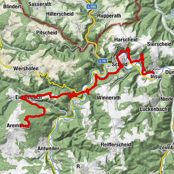
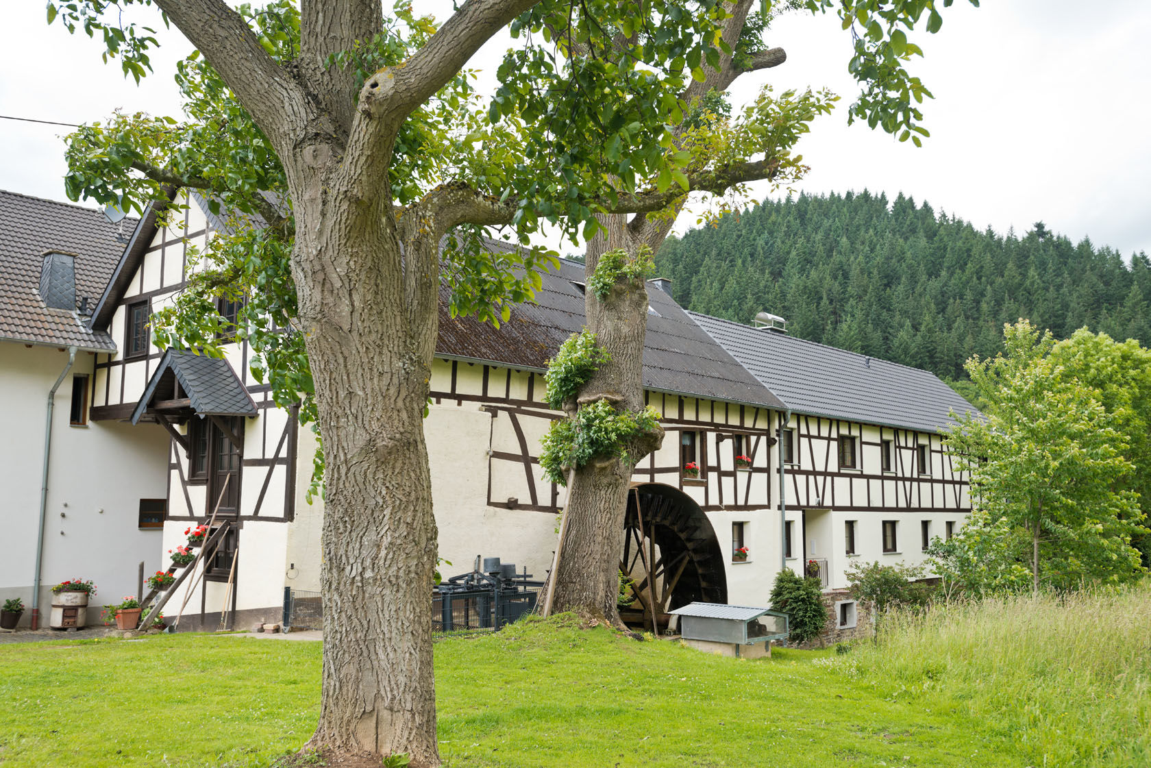
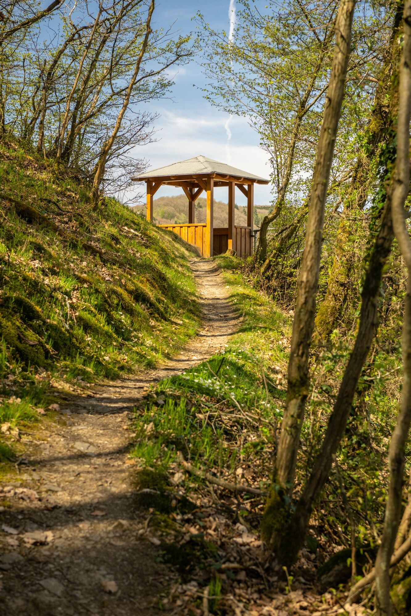
The third stage is the longest and one of the most eventful. Right at the beginning, you climb high up to the Aremberg, the highest elevation of the entire Ahr Mountains.
- Stopień trudności
-
ciężkie
- Ocena
-
- Trasa
-
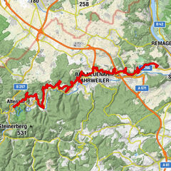
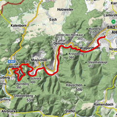
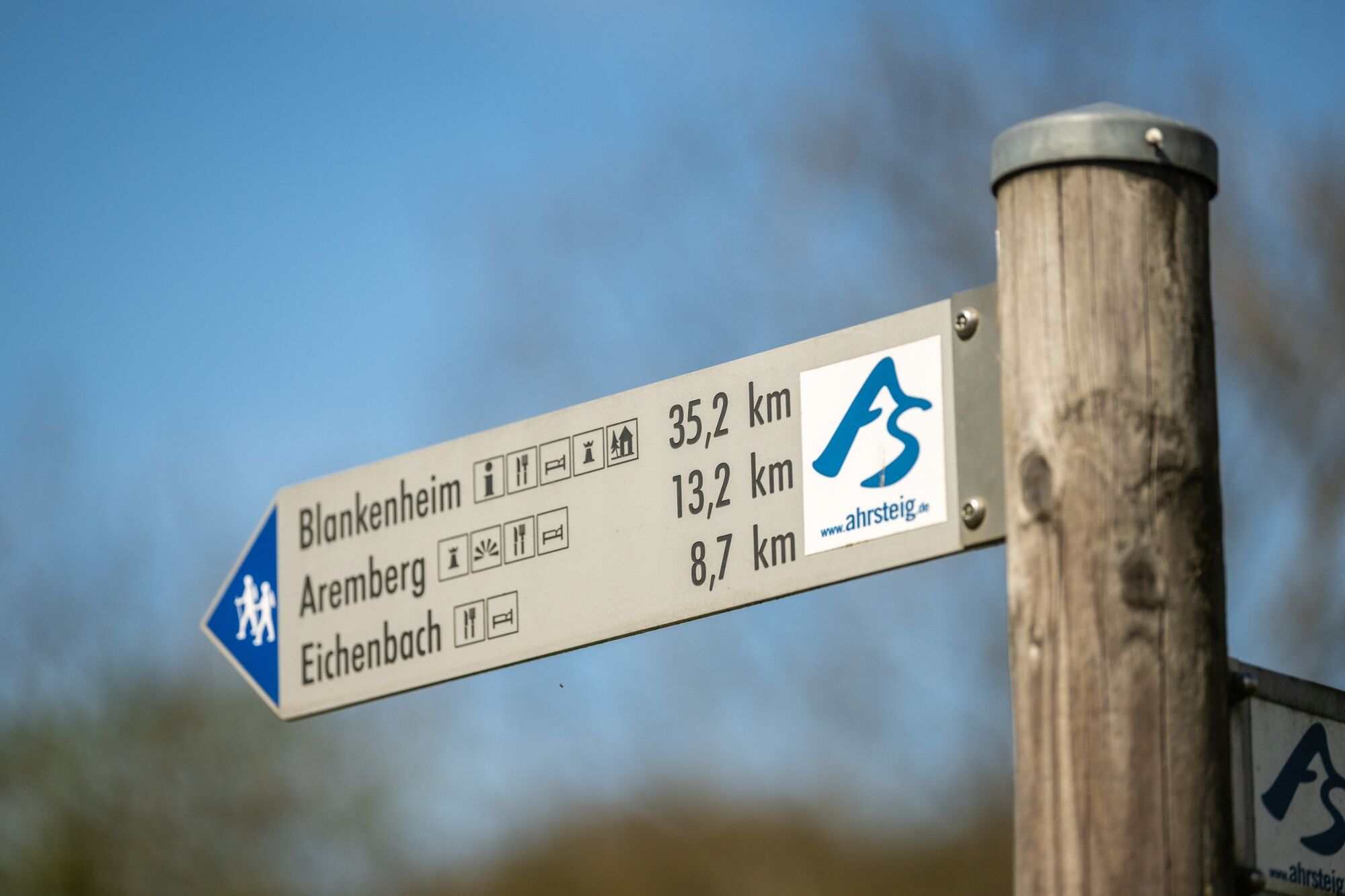
ArembergAremberg (623 m)0,7 kmEichenbach3,7 kmZum Wiesengrund4,2 km14-Nothelfer-Kapelle4,4 kmFuchshofen8,2 kmFriedhofskapelle13,4 kmSt.Gertrud13,5 kmSchäfer13,5 kmSchuld13,6 kmHarscheid15,4 kmAussichtsbank Spicherley15,7 kmInsul19,4 km
- Najwyższy punkt
- 599 m
- Miejsce docelowe
-
Insul
- Profil wysokości
-
 © outdooractive.com

- Autor
-
Wycieczka AhrSteig Stage 3: Aremberg to Insul (18.7 km) jest używany przez outdooractive.com pod warunkiem.
GPS Downloads


Informacje ogólne
Przystanek odświeżania
Kulturalny/Historyczny
Flora
Obiecujący
Więcej wycieczek w regionach
-
Eifel & Aachen
1425
-
Erlebnisregion Nürburgring
666
-
Adenau
89