


Saar-Hunsrück-Steig - 11th stage: Morbach – Langweiler – Kempfeld
Zdjęcia naszych użytkowników
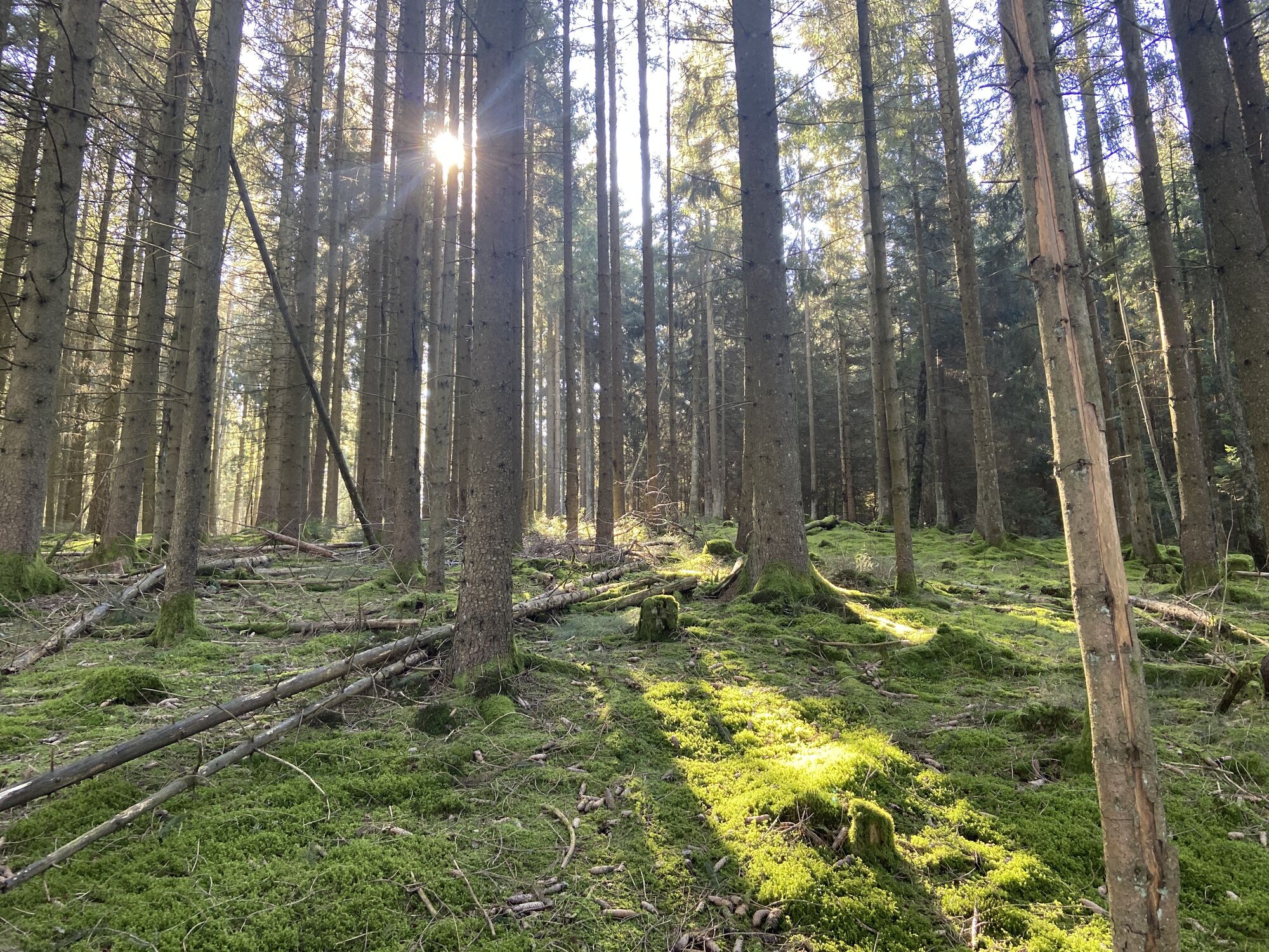
From the Ortelsbruch Nature Reserve, we climb up to the heights of the Idar forest and repeatedly enjoy views of the Hunsrück towards the Moselle. At the end of the descent, an idyllic pond invites you...
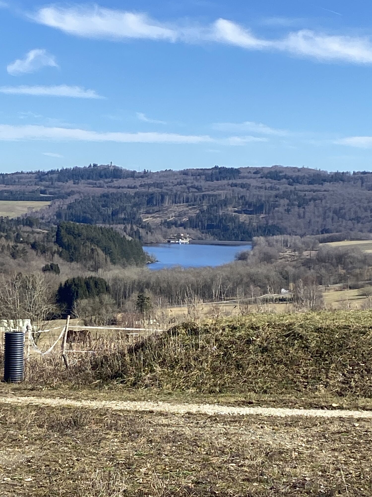
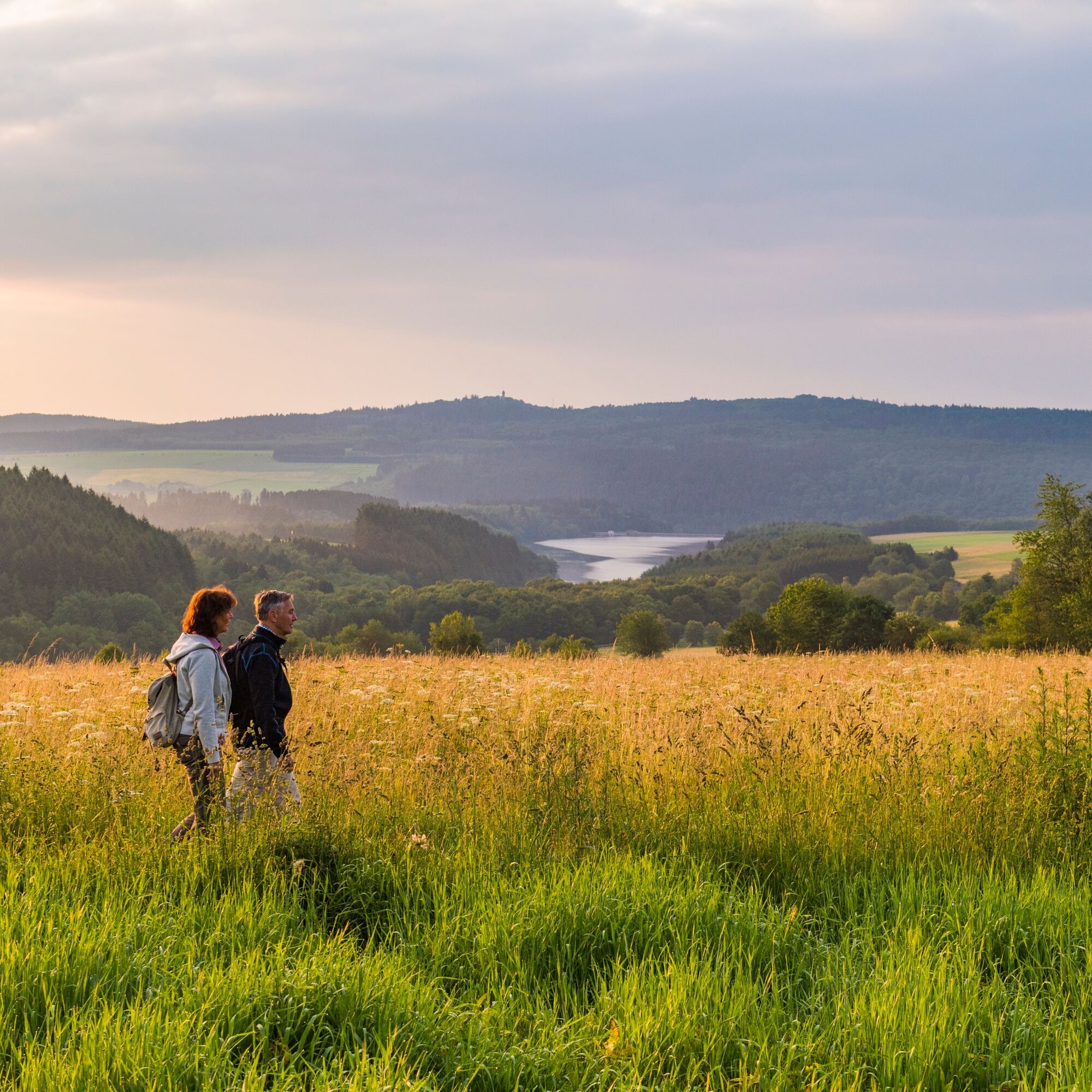
From the Ortelsbruch Nature Reserve, we climb up to the heights of the Idar forest and repeatedly enjoy views of the Hunsrück towards the Moselle. At the end of the descent, an idyllic pond invites you to rest. The first place after the descent is Langweiler, where we can experience a wonderful panoramic view of the Steinbachtalsperre reservoir and Wildenburg.
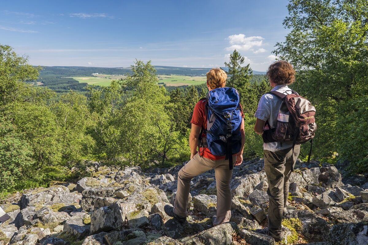
Through agriculturally used fields, we descend from Langweiler. We cross the Krahloch Geopark and climb again to the impressive rock landscape "Kirschweiler Festung." We are in the middle of the Hunsrück-Hochwald National Park. The descent into the Idarbach valley is full of experiences. It leads past rock formations, giant trees, viewpoints, and partly over switchbacks.
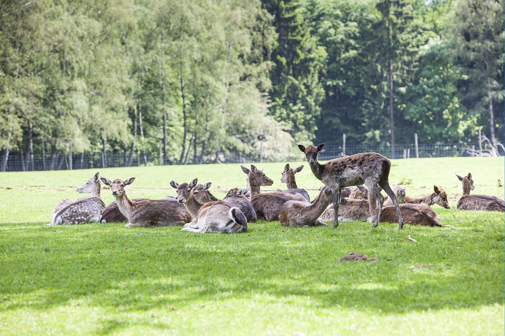
The ascent to Wildenburg leads through huge Rossel heaps. Then we walk through dense forests and reach Wildenburg with its remarkable wildlife enclosure. From Wildenburg, a 1.5 km long access path leads to Kempfeld.
The 11th stage of the Saar-Hunsrück-Steig leads from Morbach via Langweiler to Kempfeld. It starts in the Ortelsbruch Nature Reserve in Morbach. Parking can be found here "Am Kirschbaum".
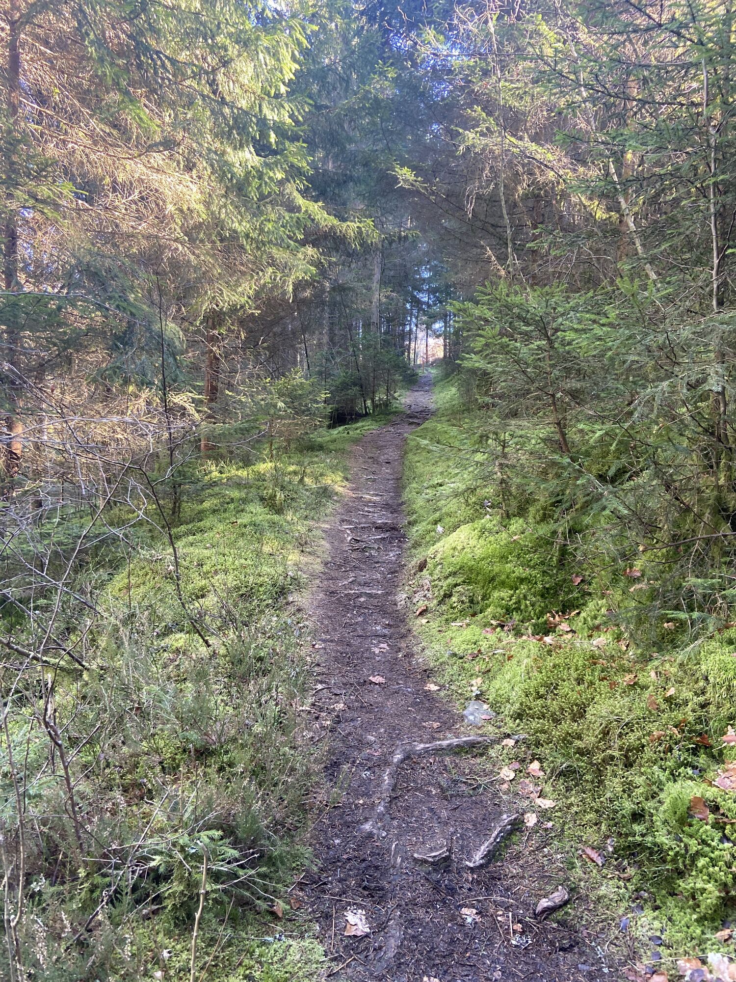
First, you follow a wide path through the nature reserve before turning left and then immediately right downhill. After passing the nature trail, an asphalted path awaits and the descent continues steeply. On the way down, you pass a sensory bench inviting you to rest, as well as the following forest pond. Downhill, the path follows the stream to a junction with another rest area. Here, you first turn right and then left again.
You quickly reach the edge of Langweiler, the "pearl of the Hochwald." Langweiler is often called so because you can enjoy a beautiful view of Wildenburg Castle and at the same time of the Steinbachtalsperre reservoir from here. In Langweiler, we cross the state road 162 near Sensweiler before passing the pond directly at the Krahloch Geopark.
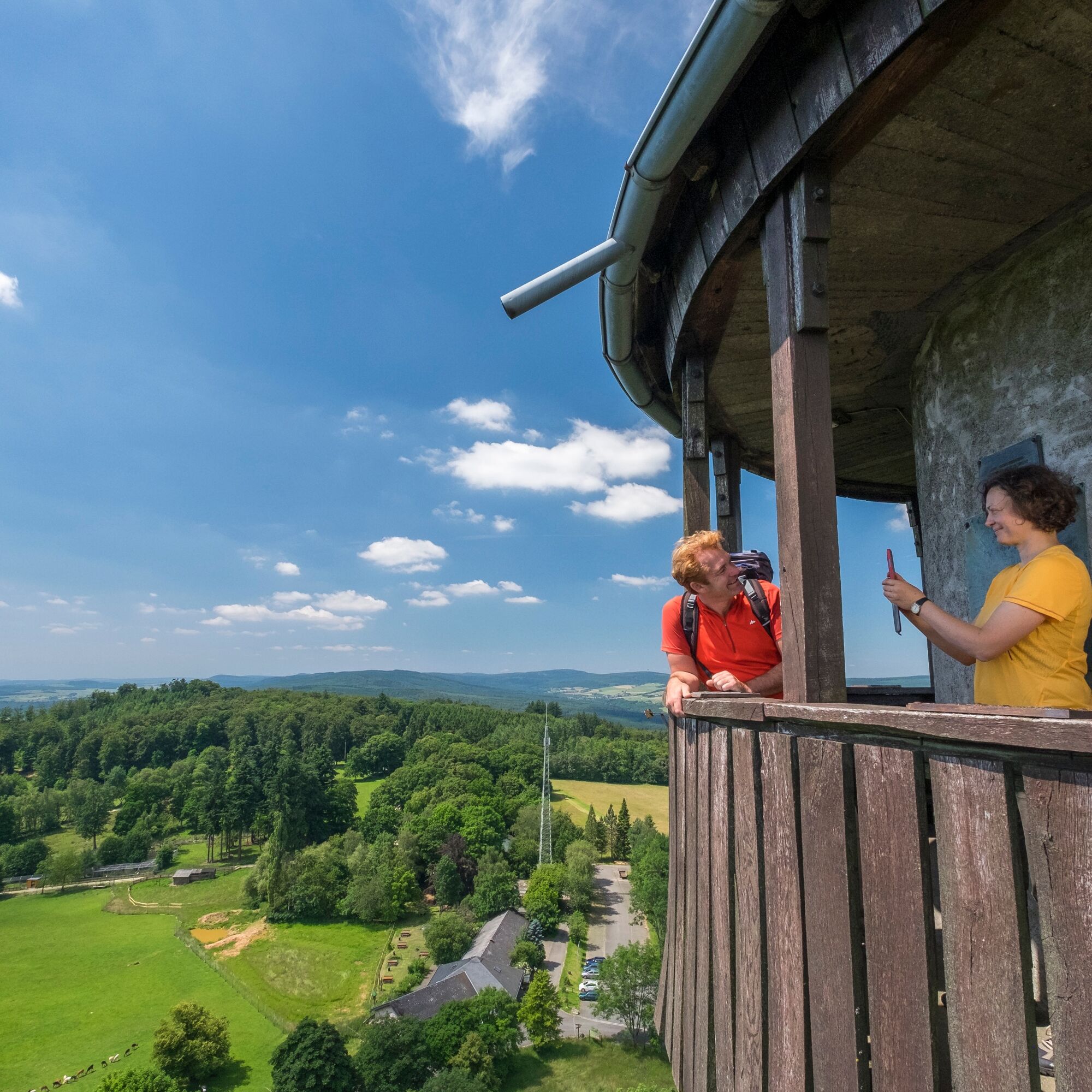
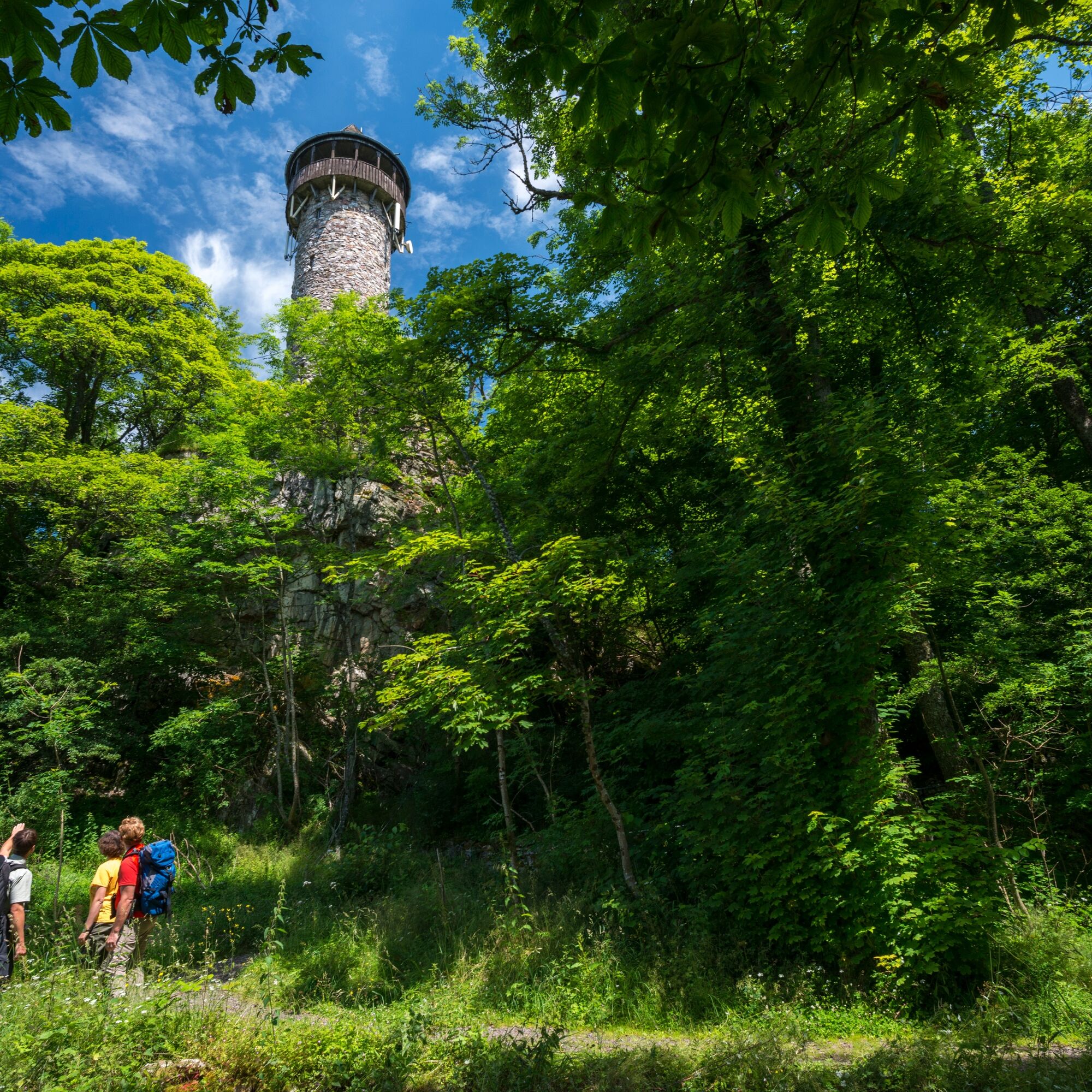
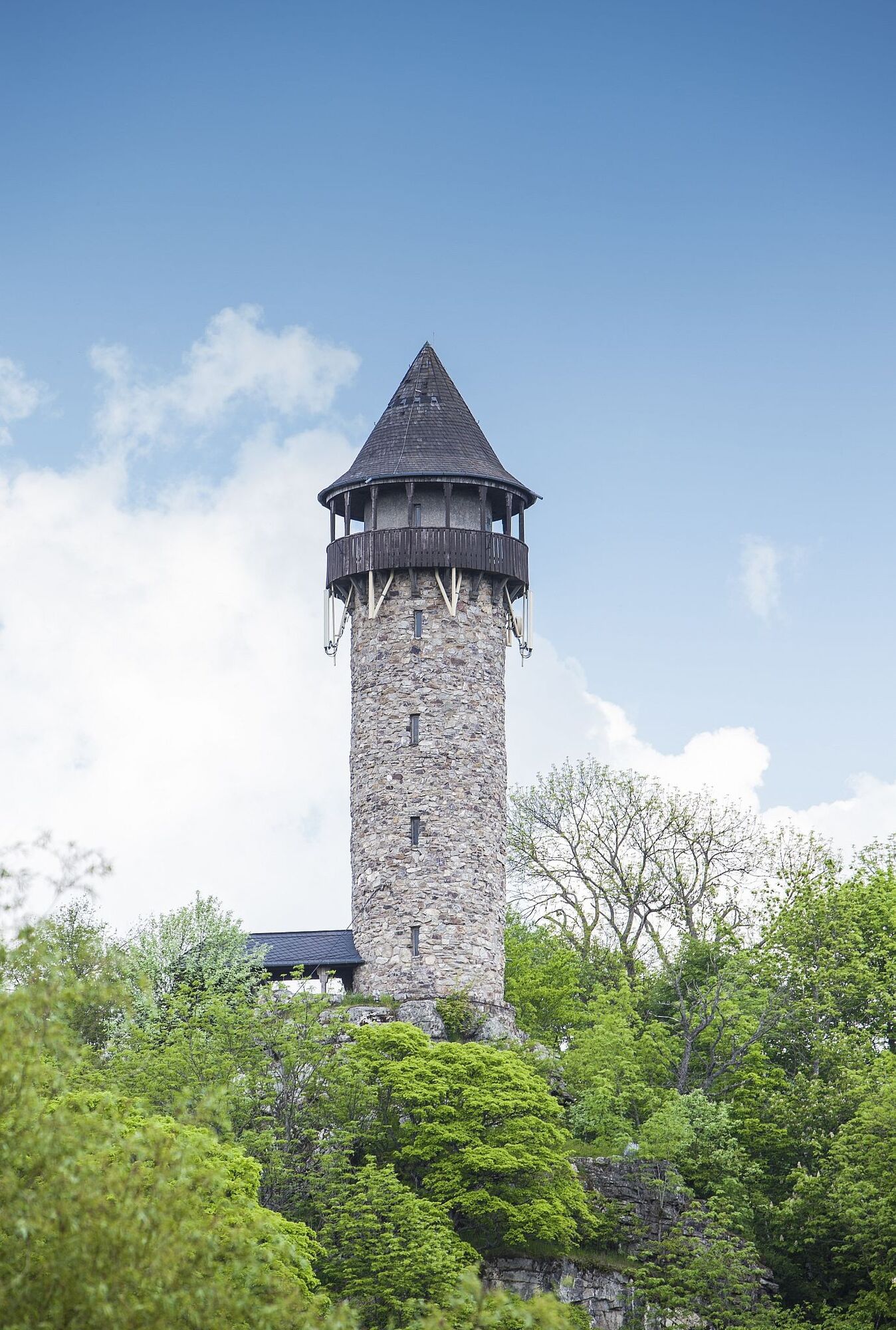
Shortly after, we arrive in the Idarbach valley. There, we cross the federal road to Idar-Oberstein and enter the Hunsrück-Hochwald National Park area after a few minutes. Here, the path leads us upwards to the height of Silberich, to the so-called "Kirschweiler Festung." We have to pass the large, elongated quartzite massif. This takes us to the viewpoint "Steinbachtalsperre." Anyone needing a break can find rest facilities here. Behind this, the path steeply descends again on narrow trails into the Idarbach valley. It continues towards the Wildenburg wildlife enclosure. Next to the wildlife enclosure is the ruin of Wildenburg Castle. From here, a roughly 2 km long access path leads to Wildenburg in Kempfeld, marking the end of the route.
Tak
Hiking boots required!
Our tips for an easy hiking experience:
Hiking is the perfect sport. With the right clothing and proper shoes, it is twice as much fun. Functional clothing, poles, and breathable backpacks are comfortable while hiking. However, good shoes are essential. For longer distances, we recommend sturdy hiking boots with a grippy, non-slip sole. Also remember sun protection and bring a drink. One liter of water is ideal.
The Saar-Hunsrück-Steig is a nature-focused path that is 65% over soft forest ground, grassy paths, or along streams. However, this special quality can lead to difficulties and make parts of the path hard to walk after prolonged rain periods. Sturdy footwear is highly recommended!
Information on arrival can be found on the Saar-Hunsrück-Steig website under Arrival
For example, from Idar-Oberstein train station to the starting point in Morbach with bus lines 840, 845.
Return trip from the stage destination Kempfeld to Idar-Oberstein train station with bus line 840.
We recommend planning your journey at www.rnn.info
Information on travel can also be found on the Saar-Hunsrück-Steig website under Arrival
Parking at Kirschbaum, Morbach
Tourist Information EdelSteinLand:
Herrstein Office
Brühlstraße 16
55756 Herrstein
Phone: +49 6785 – 79 1400
Idar-Oberstein Office
Hauptstraße 419
55743 Idar-Oberstein
Phone +49 6781 – 64 60 40
Visit the Wildenburg Wildlife Enclosure.
Popularne wycieczki w okolicy
-
4,6
Dream Loop "Köhlerpfad am Steinbach"
średniWędrówka 13,4 km -
4,3
Dream loop "Medieval Path"
średniWędrówka 8,46 km -
5,0
Traumschleife Hunolsteiner Klammweg
ciężkiWędrówka 11,9 km -
5,0
National Park Dream Loop "Kirschweiler Festung"
średniWędrówka 9,08 km -
4,0
Dream loop "Nahe Rock Trail"
ciężkiWędrówka 8,98 km -
4,3
Hunsrückhaus - Erbeskopf - Gottlob - Springenkopf
średniWędrówka 7,29 km -
4,5
Dream loop "Around the Kama"
światłoWędrówka 6,18 km -
2,5
Dream Loop "Between the Forests"
średniWędrówka 10,7 km -
Dream Loop "Gemstone Grinder's Path"
średniWędrówka 16,0 km -
5,0
Moselsteig detour Kirchspiel's Tälertour
średniWędrówka 13,1 km

Wędrówki i tropienie


Nie przegap ofert i inspiracji na następne wakacje
Twój adres e-mail została dodana do listy mailingowej.