© J.Abellan-VLP

© J.Abellan-VLP

© J.Abellan-VLP

© J.Abellan-VLP

- Krótki opis
-
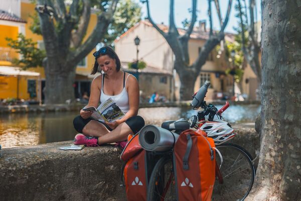
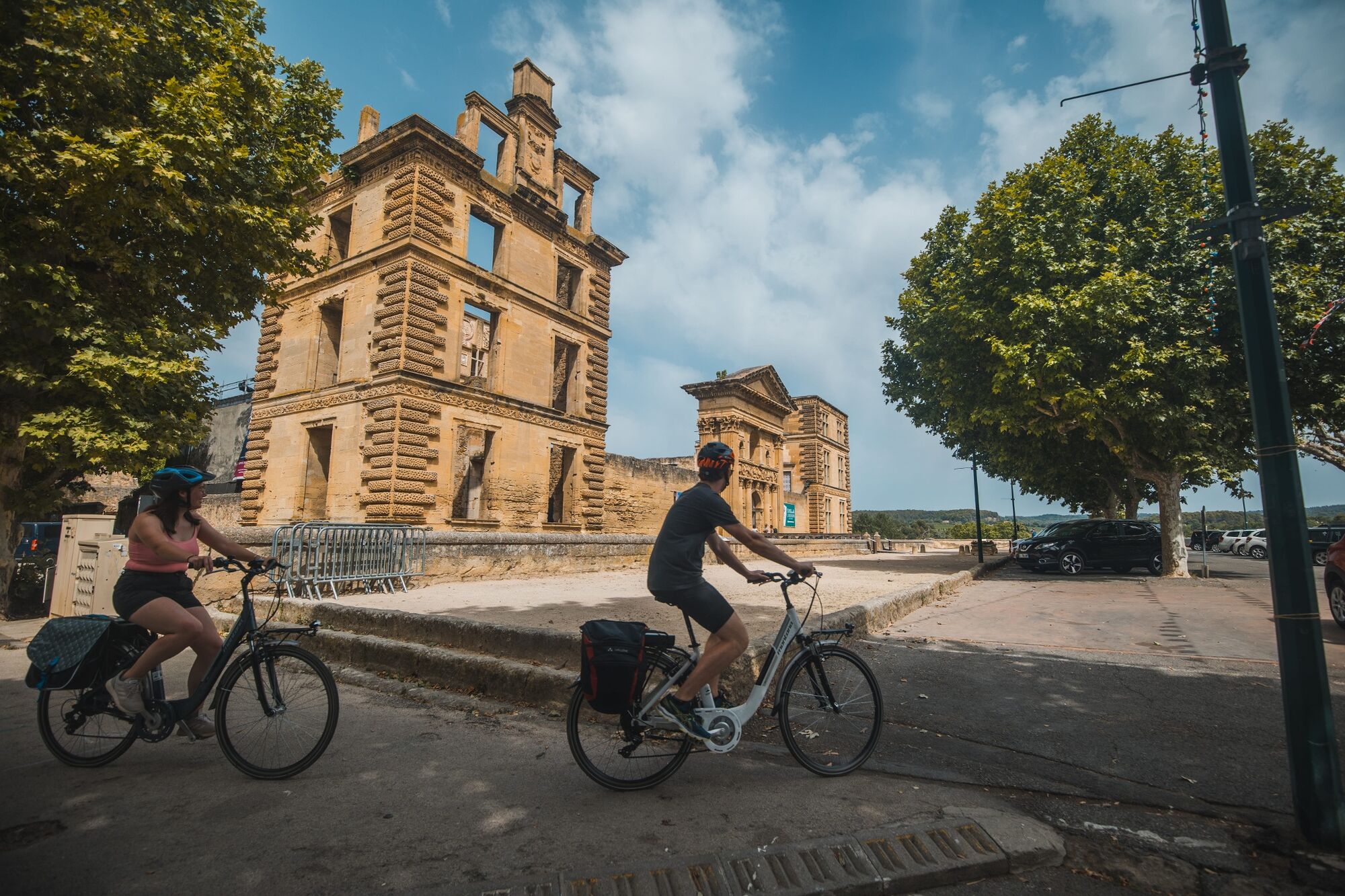
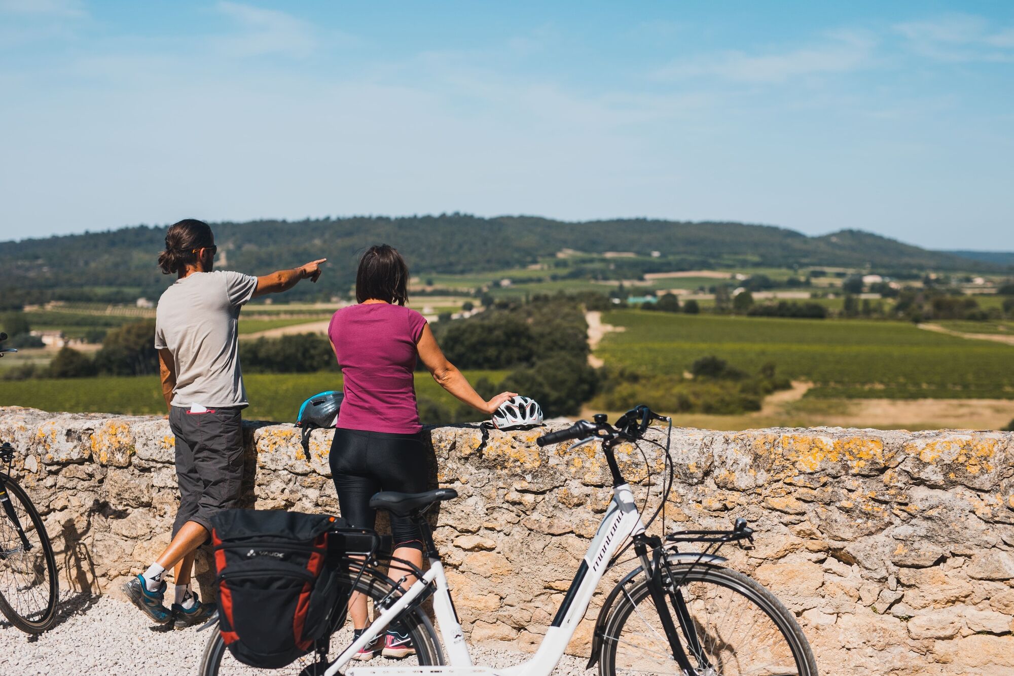
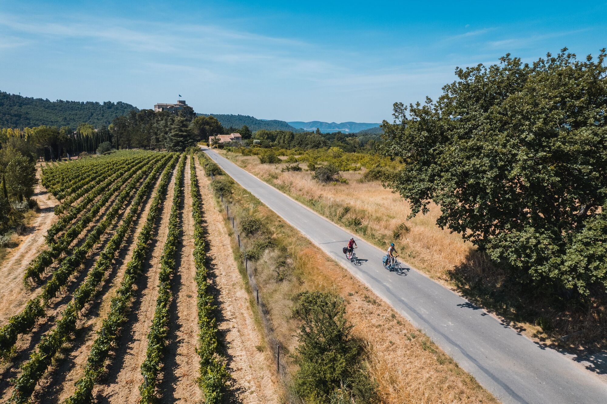
This gentle, cool itinerary undulates from the foothills of the Luberon Massif to the Durance River, dotted with medieval towns, where you can enjoy the shade of century-old plane trees. You're on the Route des Châteaux.
- Stopień trudności
-
średni
- Ocena
-
- Trasa
-
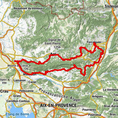
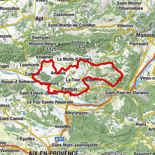
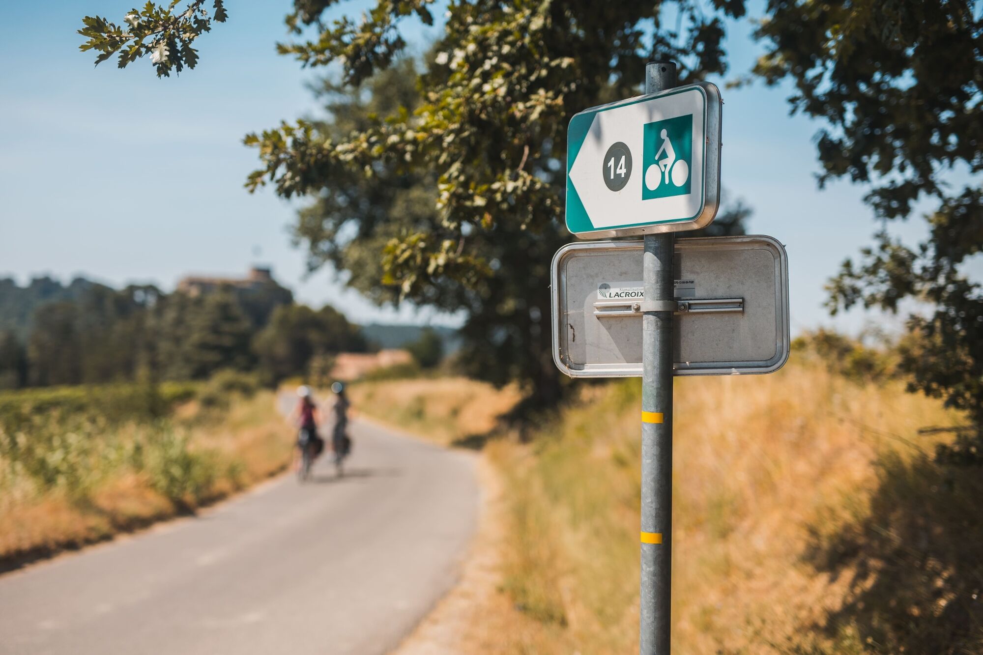
Chapelle Saint-Roch0,3 kmPertuis0,8 kmDomaine de Tintaine1,2 kmLotissement Cape Mundi1,4 kmLotissement Les Berges Basses1,7 kmSetti de Barba1,7 kmVillelaure10,7 kmLa Fabrique11,7 kmSous les platanes17,6 kmCadenet17,7 kmÉglise Saint-Étienne18,0 kmCucuron26,4 kmAnsouis31,5 kmLa Dolce Villa37,1 kmRestaurant du lac37,1 kmSaint-Martin-de-la-Brasque41,3 kmFontjoyeuse42,8 kmMoulin du Pas46,7 kmAuberge des Tilleuls46,8 kmGrambois47,2 kmLa Pourraque55,3 kmBeaumont-de-Pertuis58,1 kmChapelle Notre-Dame de Beauvoir58,4 kmMirabeau64,0 kmLa Bourguette71,2 kmLa Tour-d'Aigues73,9 kmLa Royère74,1 kmLa Garrigue Nord74,2 kmLa Garrigue Sud75,2 kmLes Savels76,9 kmLa Bastidonne77,3 kmLa Terrasse77,4 kmÉglise Notre-Dame-de-Bonne-Aventure77,5 kmFontvieille77,9 kmLes Ribas78,2 kmPertuis83,5 kmChapelle Saint-Roch84,1 km
- Najlepszy sezon
-
stylutmarkwimajczelipsiewrzpaźlisgru
- Najwyższy punkt
- 517 m
- Miejsce docelowe
-
Bureau d'information touristique de Cadenet
- Profil wysokości
-
 © outdooractive.com
- Autor
-
Wycieczka 14 - The Pays d'Aigues by bike jest używany przez outdooractive.com pod warunkiem.
GPS Downloads


Więcej wycieczek w regionach