P'tites Routes Du Soleil - Les Préalpes d'Azur à vélo (A20)

Droga rowerowa

© TILT COM’SEIL

© TILT COM’SEIL

© TILT COM’SEIL
Dane wycieczki
50,48km
317
- 1.167m
1.046hm
1.455hm
05:43h

TILT COM’SEIL
- Krótki opis
-
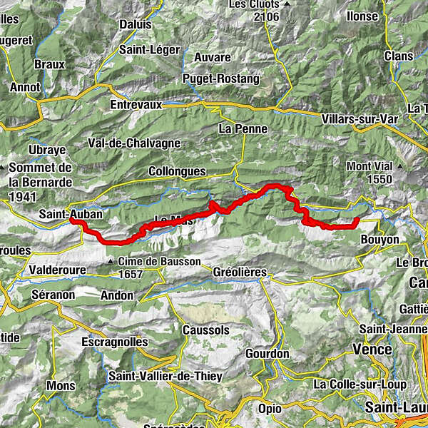
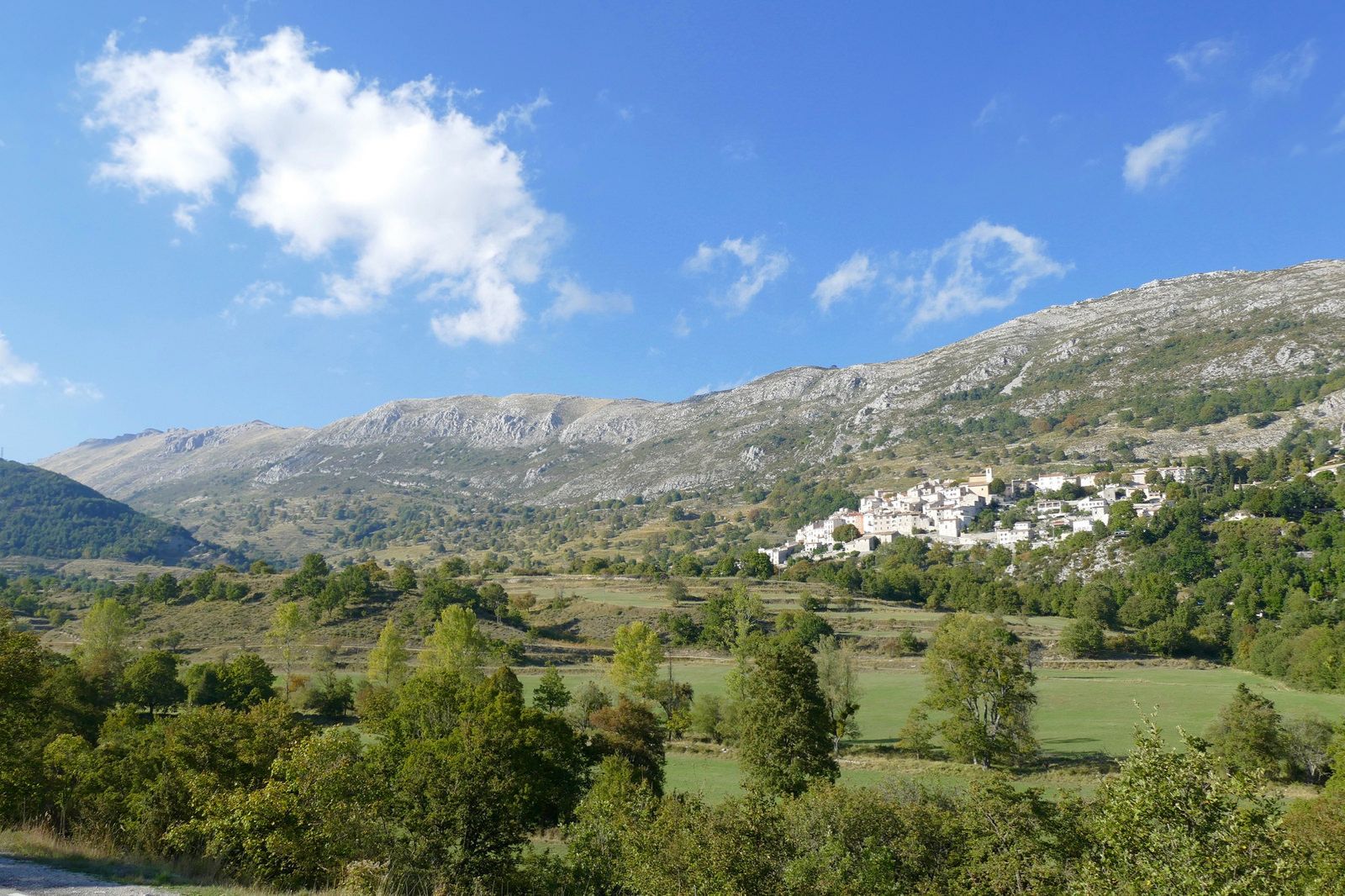
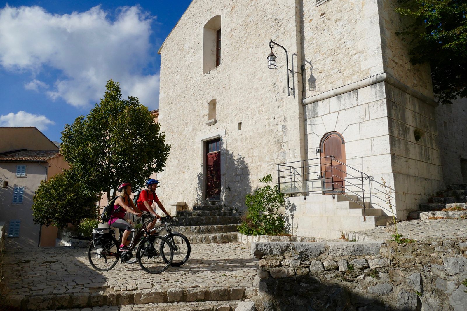
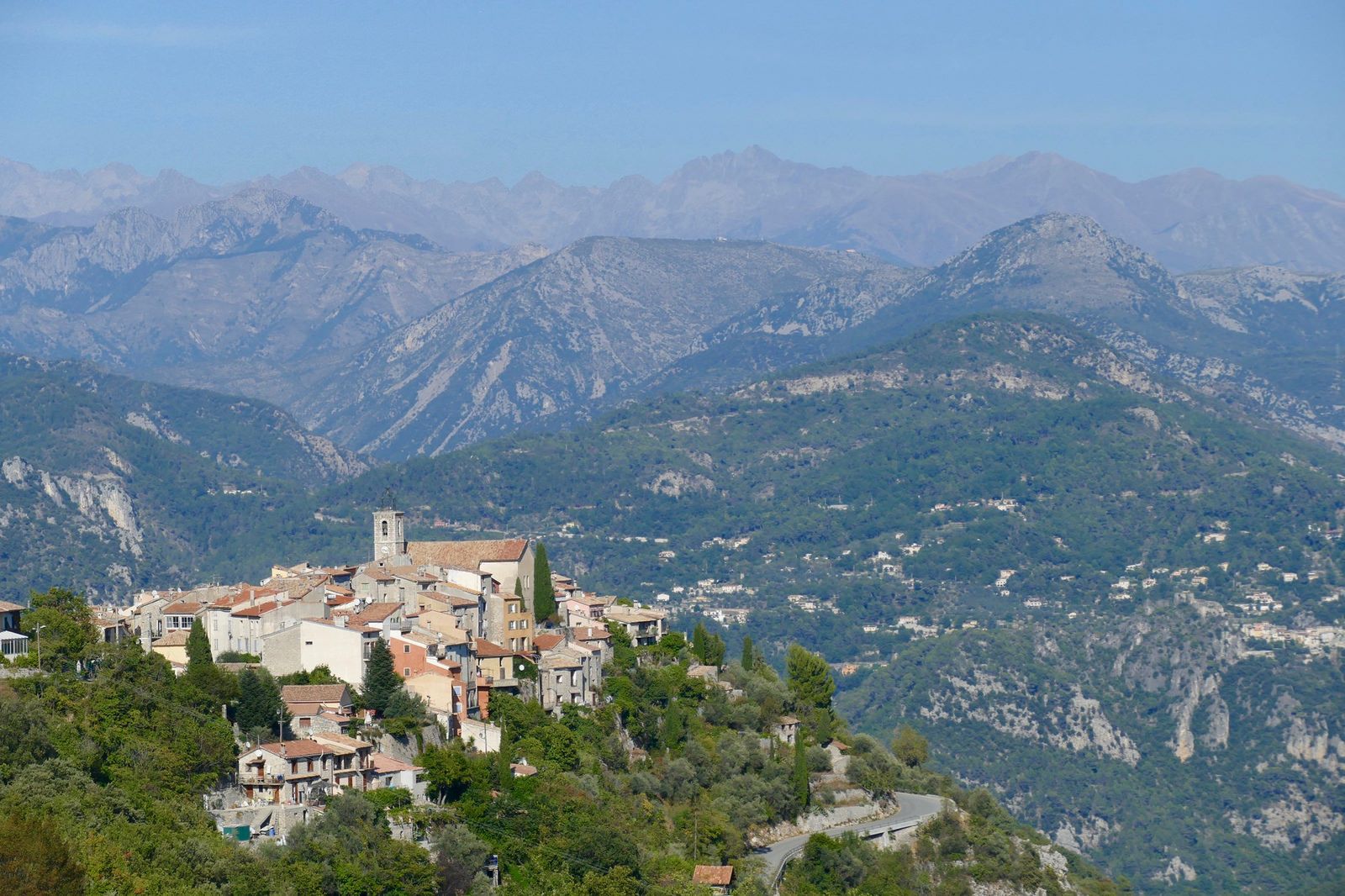
De Clue en Clue au fil de L'Estéron. Aujourd'hui, le profil sera plutôt descendant !
- Stopień trudności
-
średni
- Ocena
-
- Trasa
-
Saint-Auban0,0 kmLes Moulins0,2 kmLa Gravière0,6 kmLe Défend Oriental1,5 kmCollet de Pinpinier (1.210 m)11,2 kmChapelle Saint-Arnoux15,2 kmLe Mas15,3 kmLe Collet19,1 kmGrotte Obscure23,5 kmL'Auberge de Calendal23,8 kmAiglun23,8 kmÉglise Saint-Raphaël23,8 kmChapelle Notre-Dame24,3 kmVascognes26,8 kmCigalla30,1 kmChapelle Notre-Dame d'Entrevignes32,5 kmÉglise Sainte-Arige35,0 kmRoccasterone35,0 kmRoccasterone di Grassa35,7 kmChapelle Sainte-Pétronille35,9 kmLa Bouisse41,5 kmConségudes45,2 kmÉglise Saint-Laurent45,4 kmLes Ferres50,3 kmAuberge Saint-Michel50,4 kmÉglise Saint-Jacques50,4 km
- Najlepszy sezon
-
stylutmarkwimajczelipsiewrzpaźlisgru
- Najwyższy punkt
- 1.167 m
- Miejsce docelowe
-
Les Ferres
- Profil wysokości
-
 © outdooractive.com
-

-
AutorTILT COM’SEILWycieczka P'tites Routes Du Soleil - Les Préalpes d'Azur à vélo (A20) jest używany przez outdooractive.com pod warunkiem.
GPS Downloads


Informacje ogólne
Przystanek odświeżania
Więcej wycieczek w regionach
-
Alpes-Maritimes
71
-
Alpes d'Azur
33