© © Maison du Parc du Luberon

© © Maison du Parc du Luberon

© © Maison du Parc du Luberon

© © Maison du Parc du Luberon

© © Maison du Parc du Luberon

- Krótki opis
-
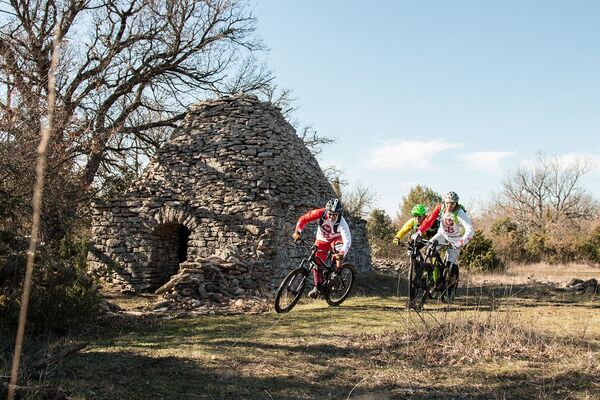
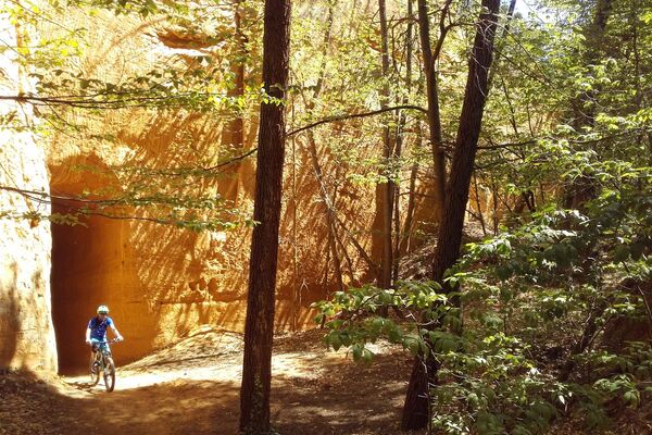
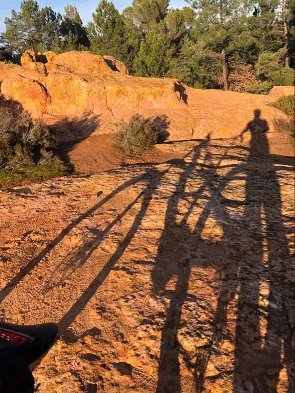
A beautiful mountain bike ride with a rolling profile, where your wheels will tread the grey marls of Perréal, the pebbles of Monts-de-Vaucluse and the ochre sands of La Gardette.
- Trasa
-
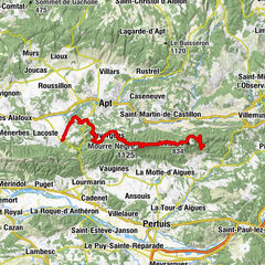
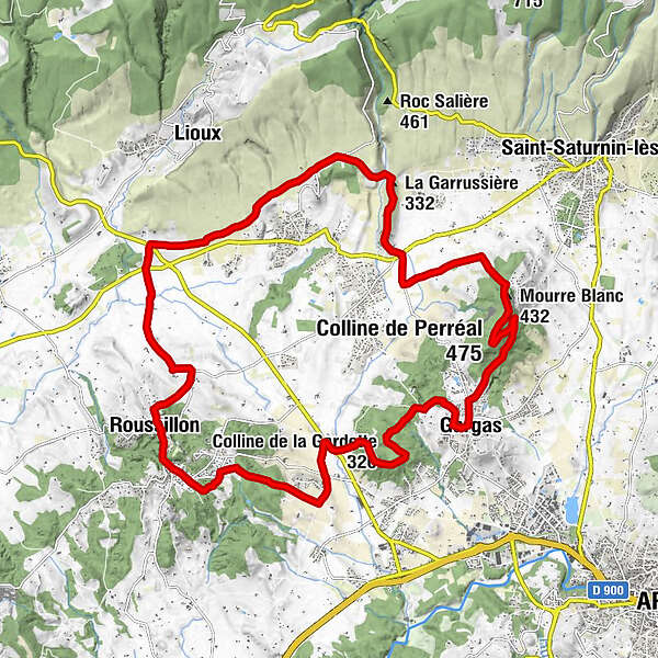
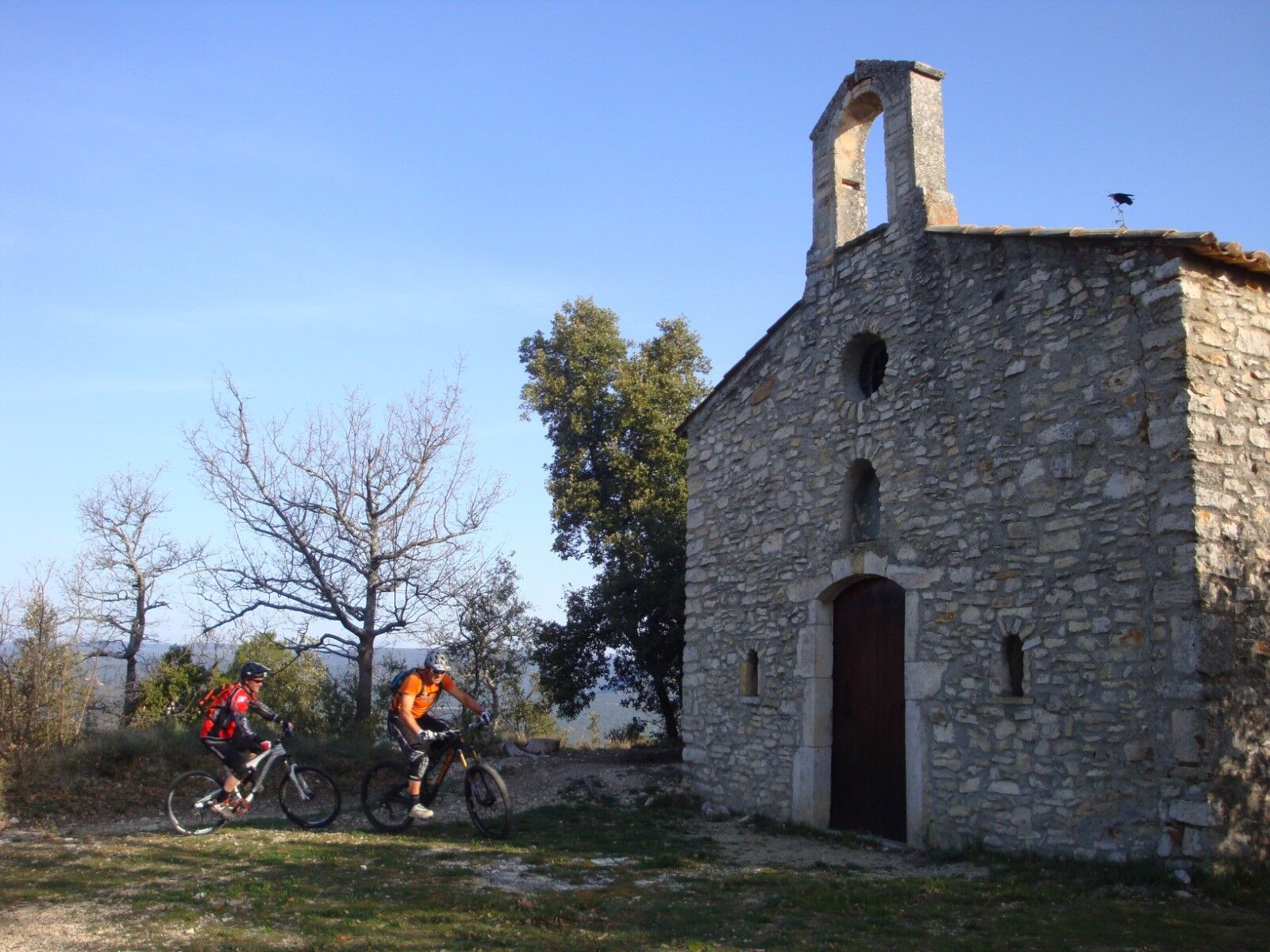
Gargas0,0 kmAmis de la Fontaine0,1 kmColline de Perréal (475 m)3,0 kmChapelle Sainte-Radegonde3,0 kmMourre Blanc (432 m)3,6 kmChapelle Saint-Pierre d'Agnane5,3 kmLes Cordiers6,7 kmLa Garrussière (332 m)7,9 kmChapelle Sainte-Madeleine9,2 kmRoussillon16,8 kmColline de la Gardette (320 m)24,1 kmGargas26,5 km
- Najwyższy punkt
- 470 m
- Profil wysokości
-
 © outdooractive.com


- Autor
-
Wycieczka MTB no.51 - Between ochre, vines, and forest jest używany przez outdooractive.com pod warunkiem.
GPS Downloads


Więcej wycieczek w regionach
-
Vaucluse
99
-
Pays d'Apt-Luberon
69