


Harjupolku, in the Petkeljärvi National Park
Poziom trudności: T2


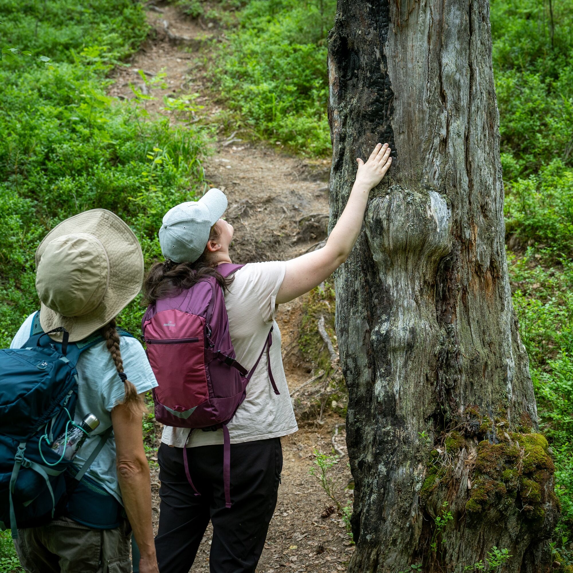
Harjupolku starts north of the Petkeljärvi hiking center and is marked with orange signs. You can extend the hike by detouring to the Korkeasärkkä side trail, which is 2 km one way. Near Ruunalampi, Harjupolku...
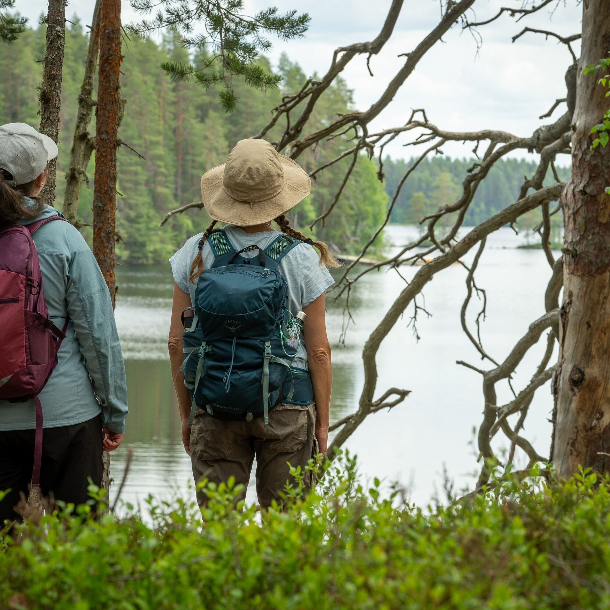
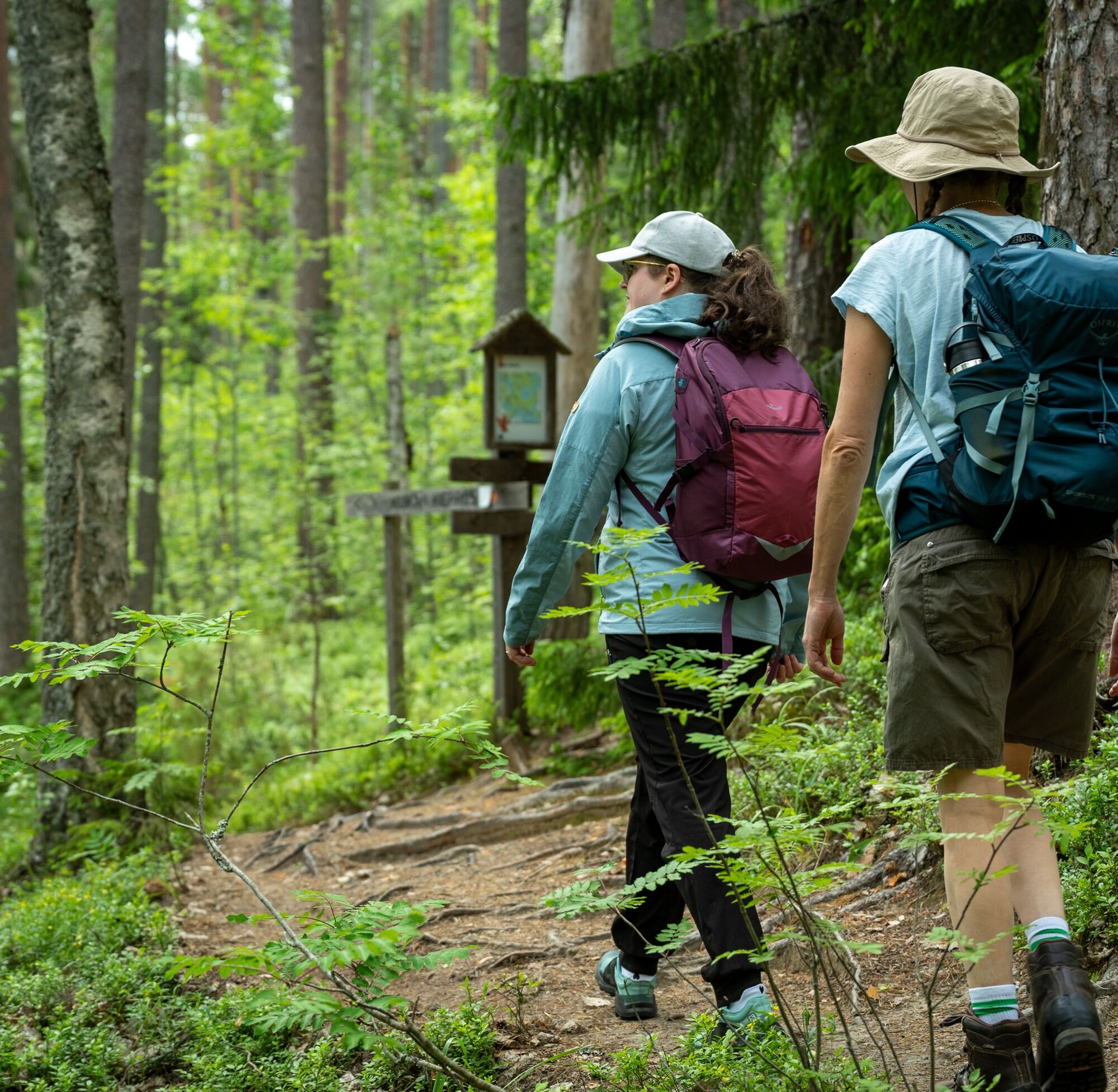
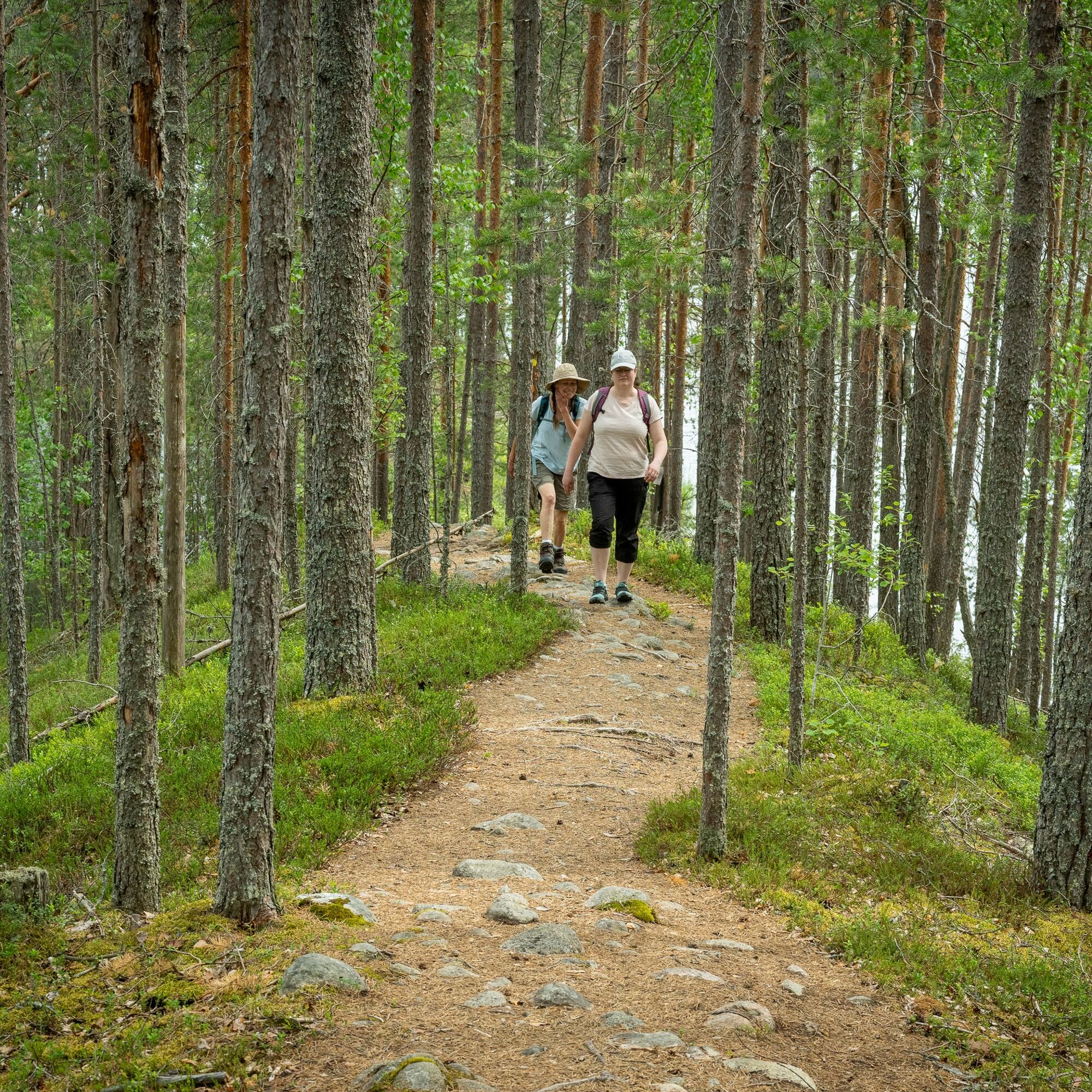
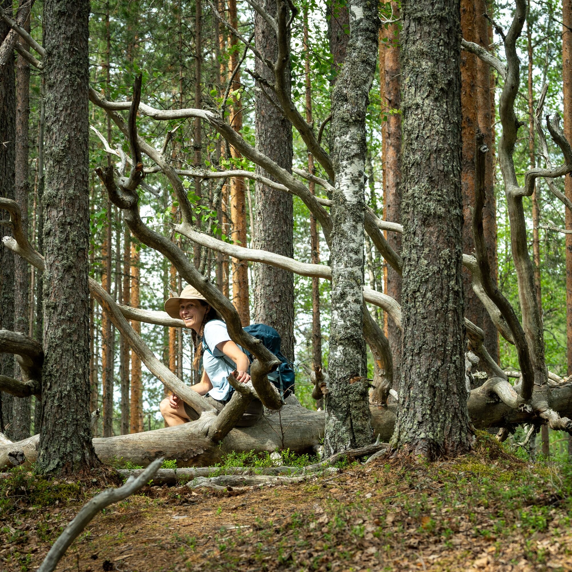
Harjupolku starts north of the Petkeljärvi hiking center and is marked with orange signs. You can extend the hike by detouring to the Korkeasärkkä side trail, which is 2 km one way. Near Ruunalampi, Harjupolku connects to the 31 km Taitajan Taipale route. There are no rest stops along the route, but hikers can find a covered fire place and other hiking services at the Petkeljärvi hiking center. The route is intended for travel during snow-free conditions.


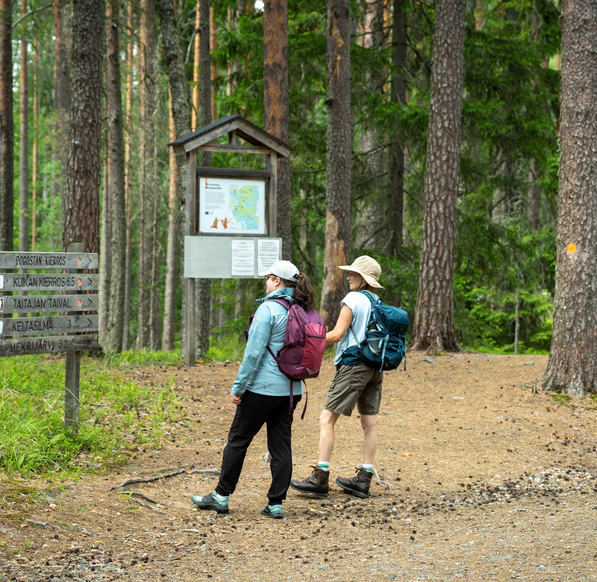
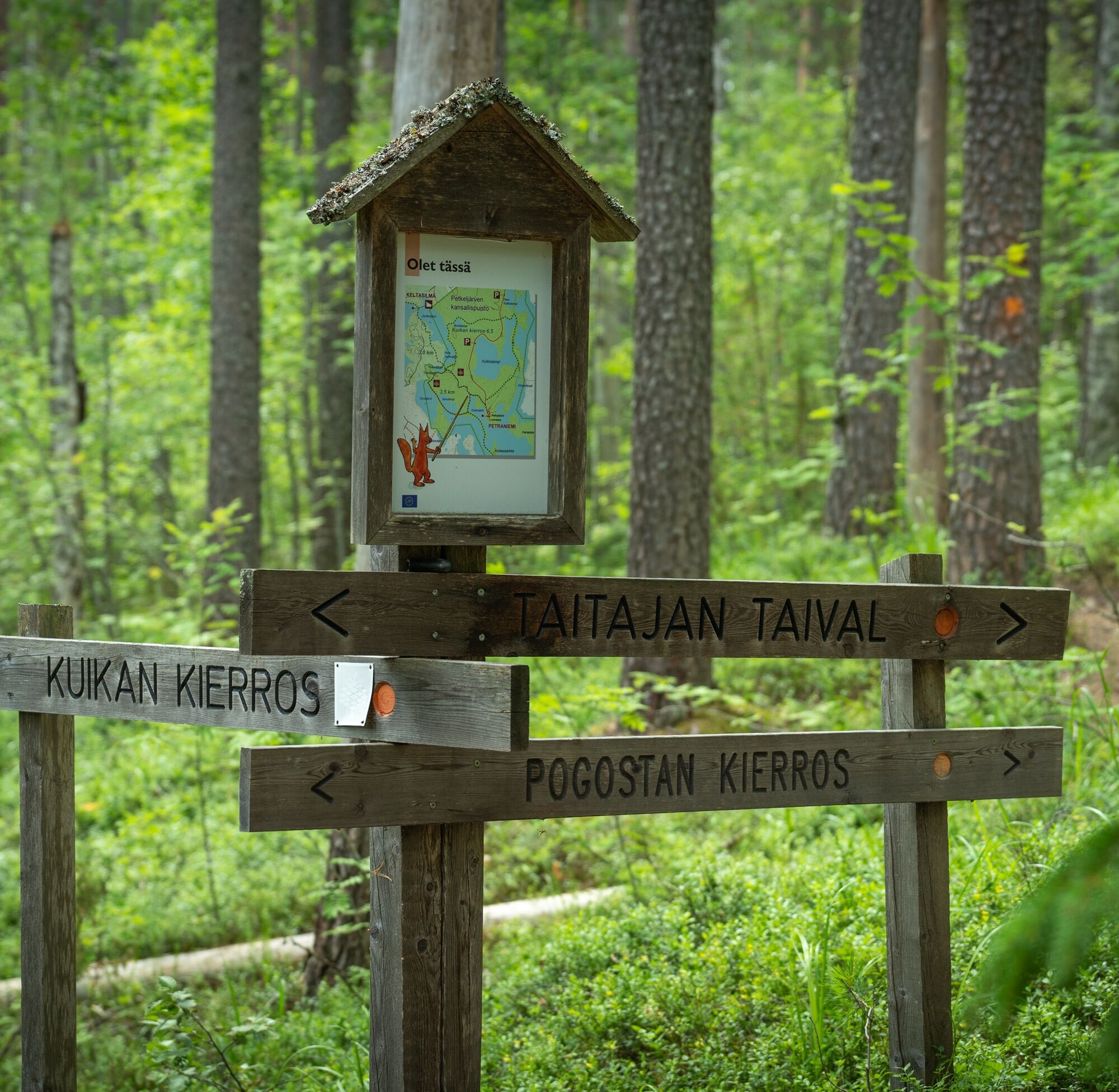
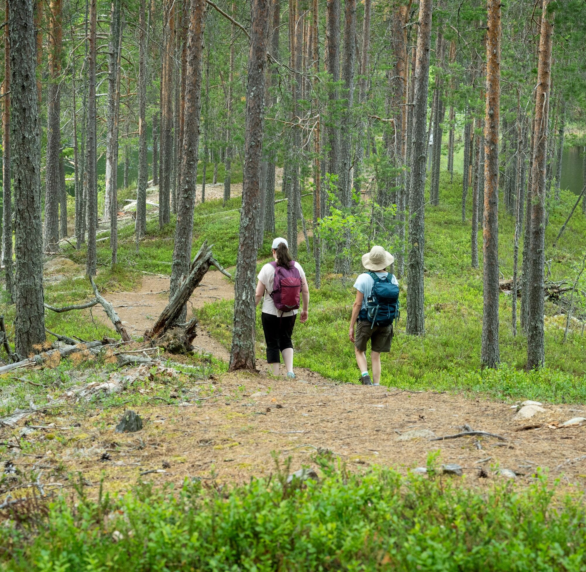
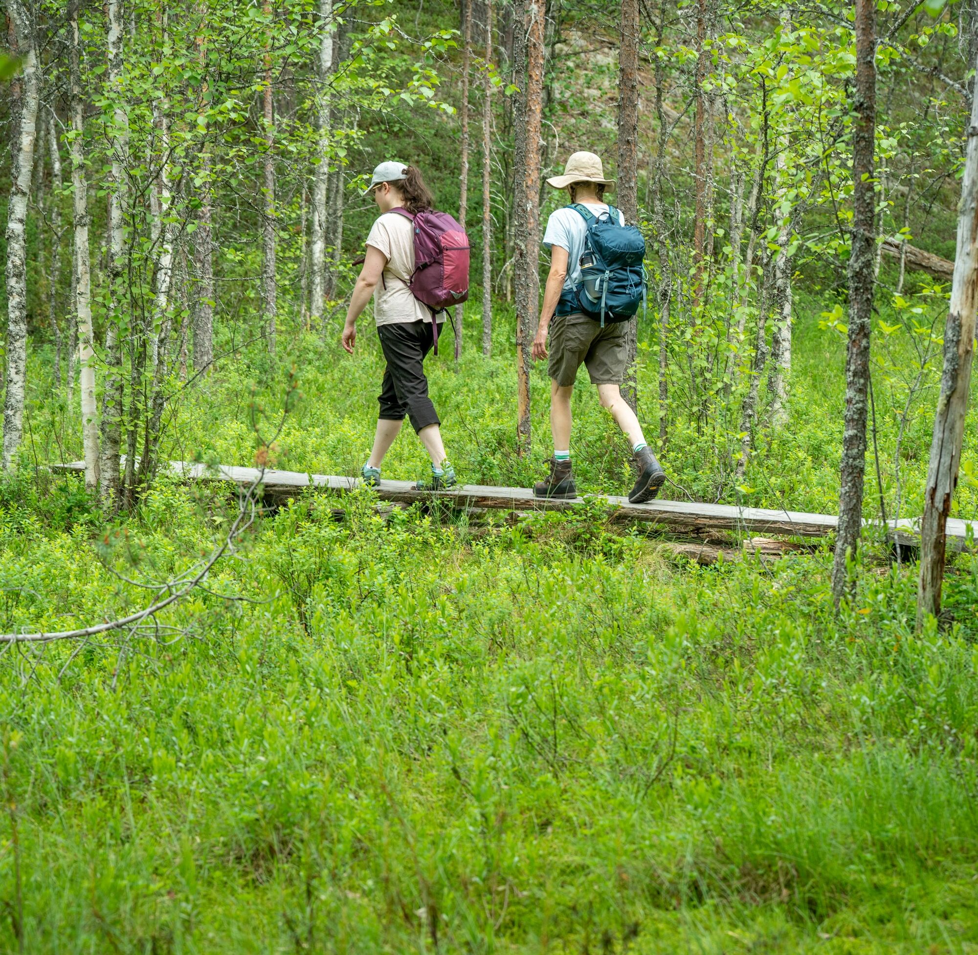
The route starts about 600 m from the Petkeljärvi center. First, follow the Kuikka route to the starting point of the Harjupolku. Harjupolku is about 2.5 km long, after which you can return to the Petkeljärvi center via the Kuikka route.
Tak
Tak
Map and/or GPX track on your device (the route is marked in the terrain with orange paint marks)
Weather-appropriate clothing and equipment
Sufficient drinks and snacks
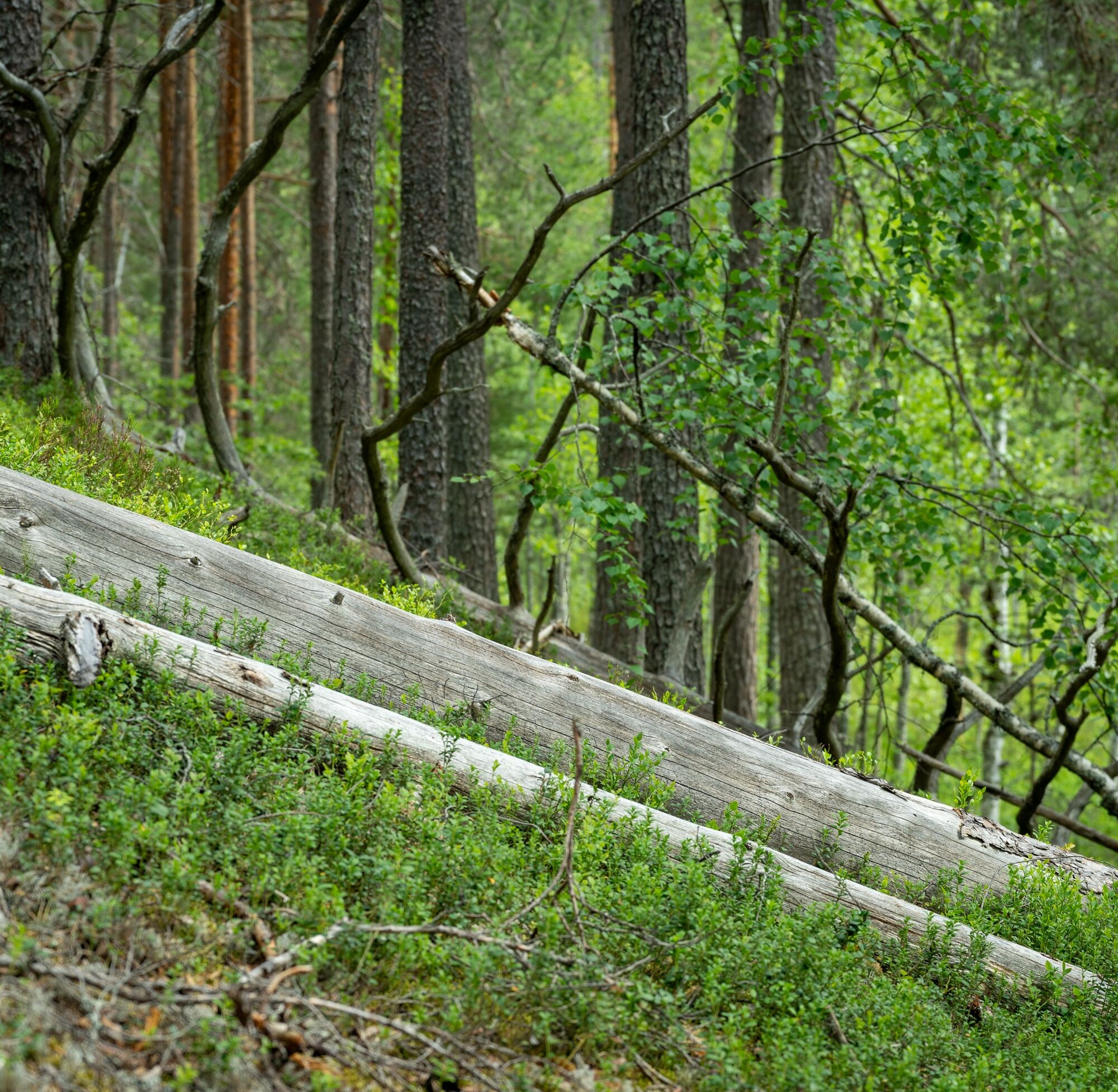
Roots and stones can be slippery when wet
Petkeljärventie 61, Ilomantsi.
No public transportation
Petkeljärventie 61, Ilomantsi.
T2
Check the services at the Petkeljärvi center (sauna, food, cooking facilities)
Services at the Petkeljärvi center (dining, sauna, dock, kayak rental)
Popularne wycieczki w okolicy
-
Kuikan kierros
średniWędrówka 6,56 km -
Korkeasärkän trail in Petkeljärvi National Park
średniWędrówka 5,14 km -
Water route from Möhkön ironworks village to Petkeljärvi National Park
średniKajak / Canoe 18,7 km -
Taitajan taival
średniWędrówka 32,2 km -
Pogostan kierros mountain biking route
średniMountainbike 87,2 km -
Pogostan kierros, Ilomantsi
średnidługodystansowy szlak pieszy 87,2 km

Wędrówki i tropienie


Nie przegap ofert i inspiracji na następne wakacje
Twój adres e-mail została dodana do listy mailingowej.