


SESTRIERE Monterotta
Route easily accessible from the center of Sestriere.
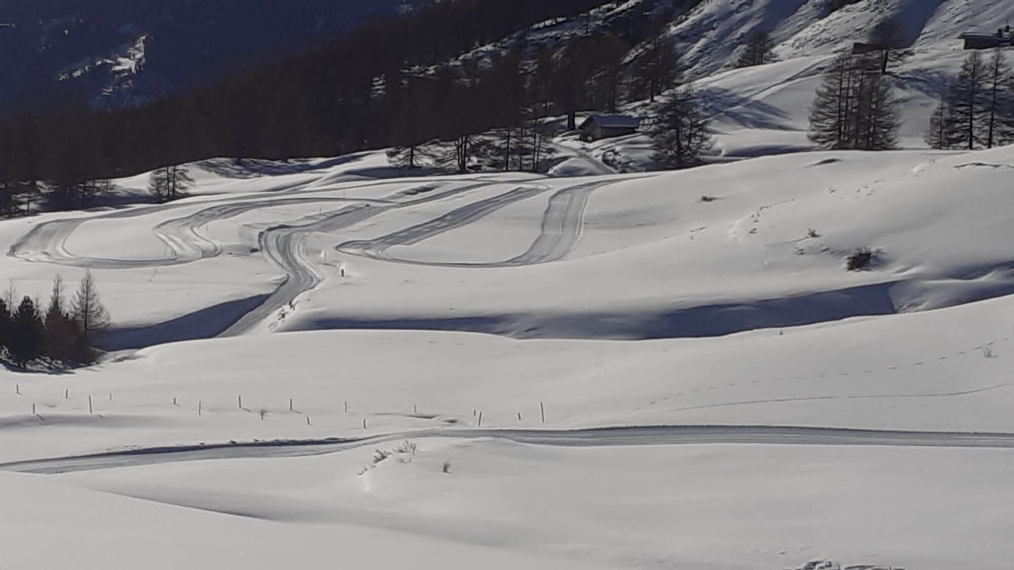
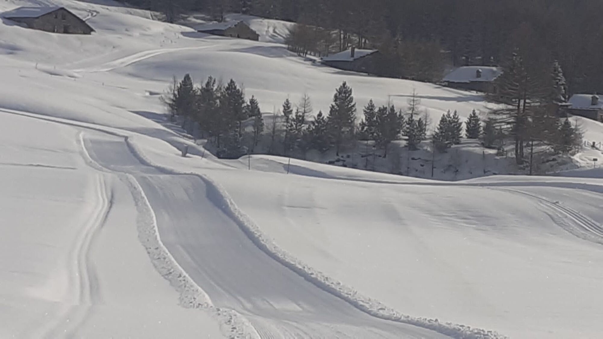
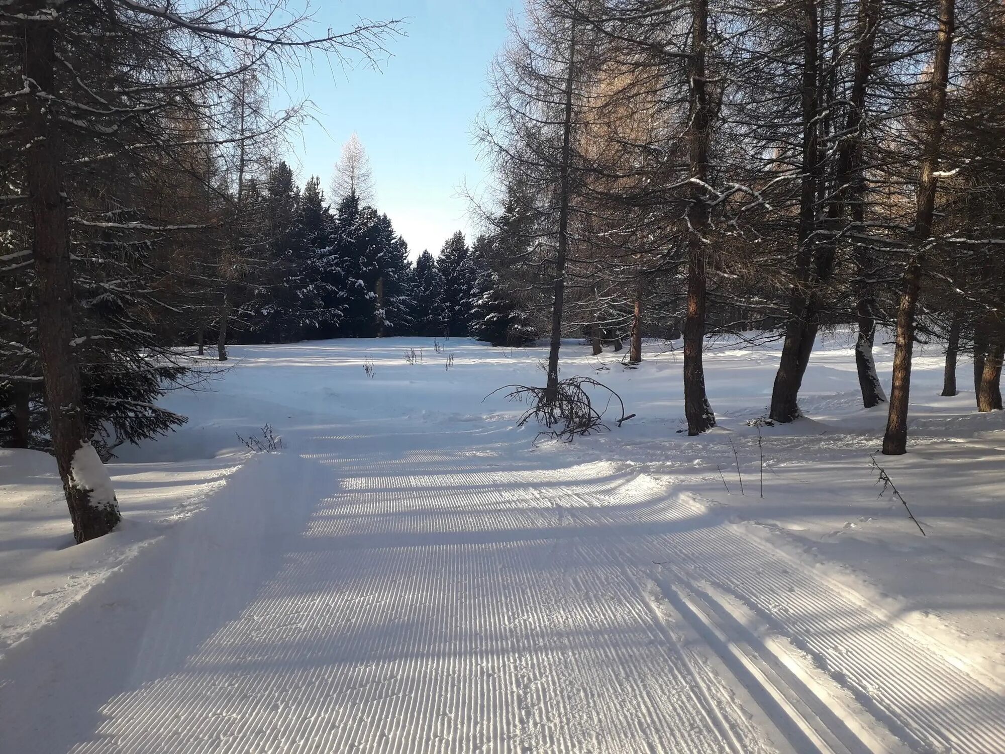
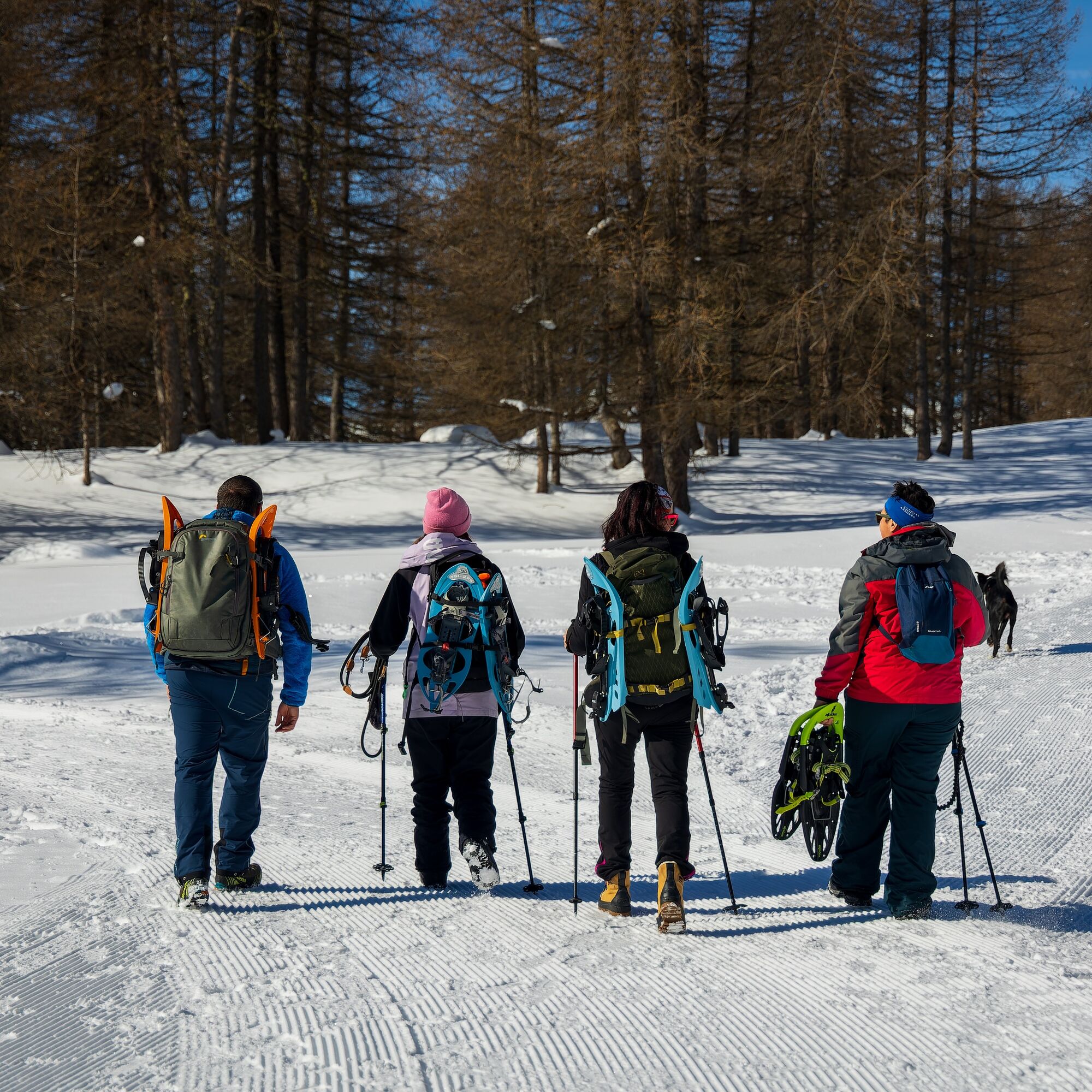
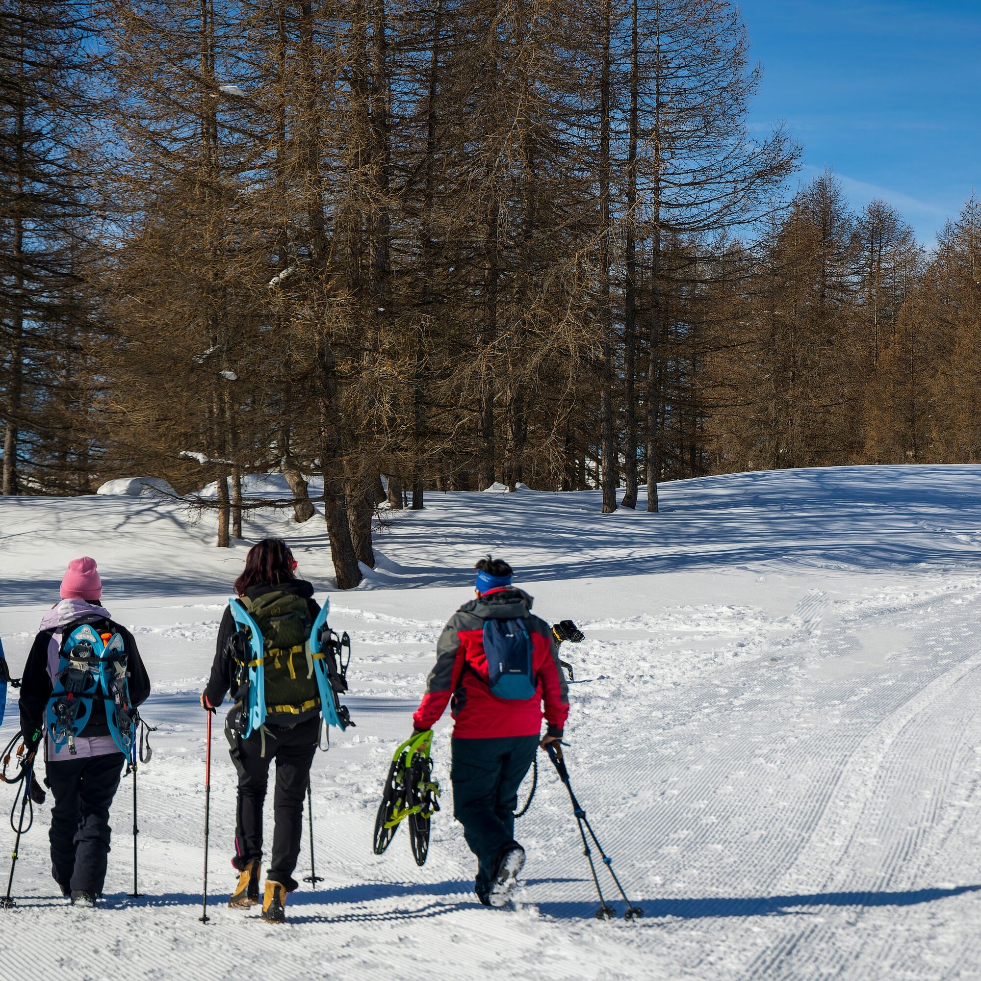
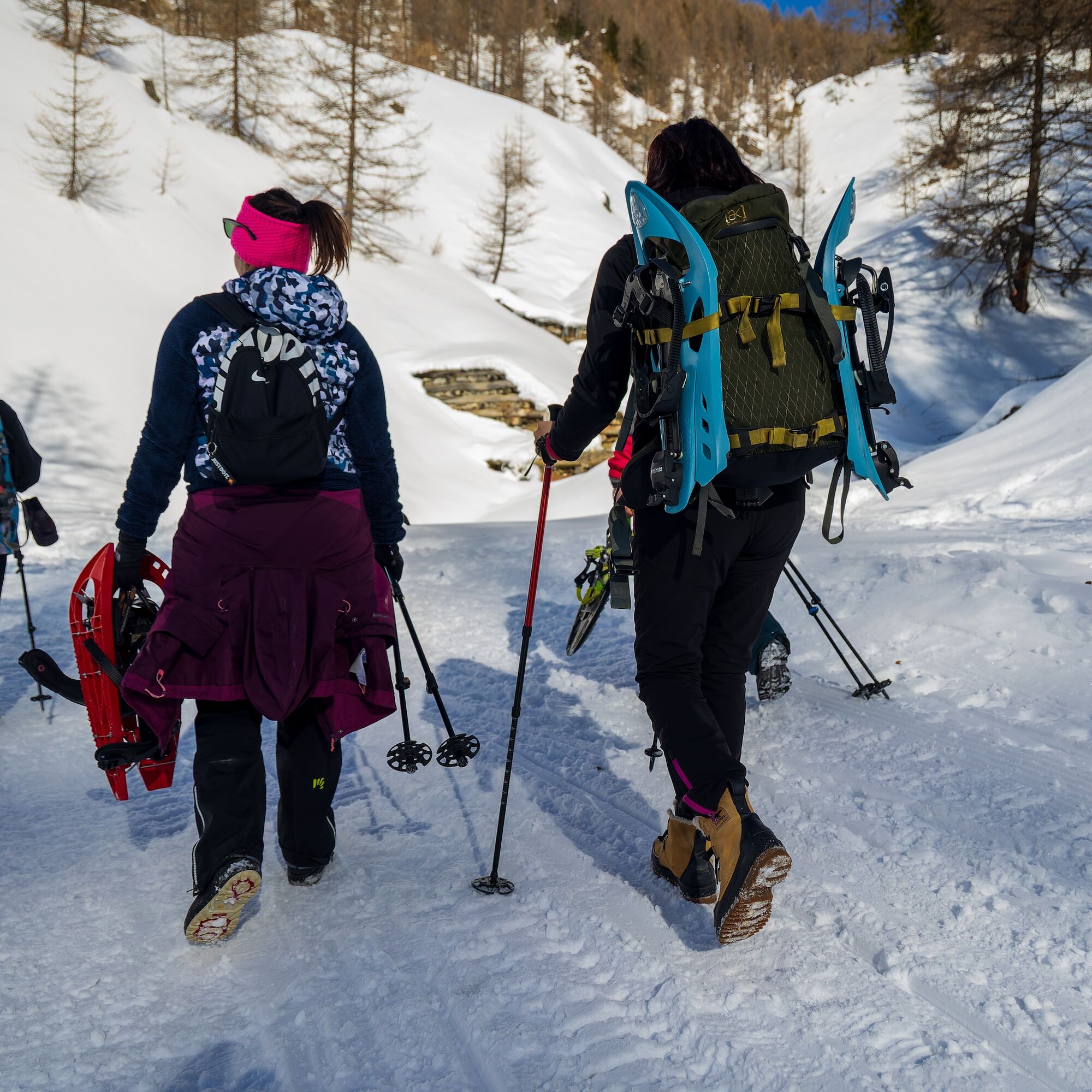
The route develops in two loops, the first of which runs mainly through a quiet larch forest while the second is in the valley area below the Monterotta...
Route easily accessible from the center of Sestriere.
The route develops in two loops, the first of which runs mainly through a quiet larch forest while the second is in the valley area below the Monterotta road, a more open area that borders typical alpine huts, allowing you to enjoy a fantastic panorama of the surrounding peaks ranging from the summits of the Valle Argentera to the peak of Pic de Rochebrune.
Both loops flank the hiking route for cross-country skiing and are groomed whenever snow conditions allow.

Clothing and footwear suitable for the winter mountain environment:
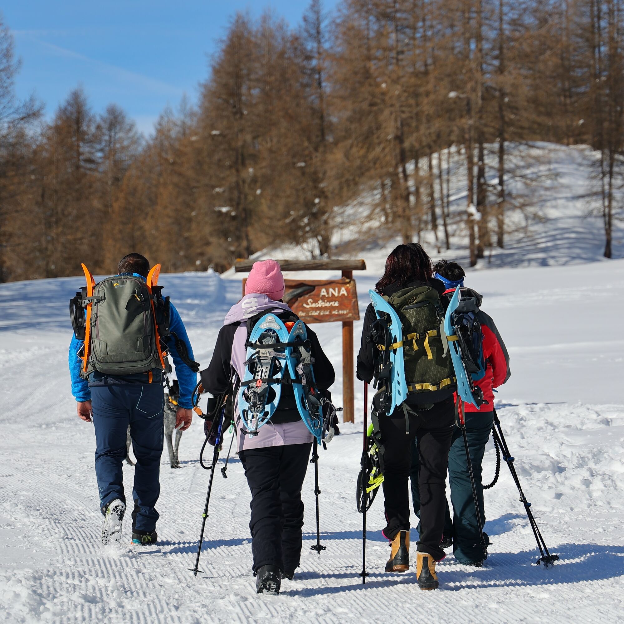
Snowshoes – poles - ARVA, shovel and probe
Before undertaking any hike it is advisable to:
- check the weather and avalanche reports from ARPA Piemonte, http://www.arpa.piemonte.it/bollettini
- get information from local Tourist Offices, Ski Schools, or Alpine Guides.
- In case of avalanche danger, it is not recommended to undertake any hike.
- The difficulty level indicated in each route may vary depending on the snow cover conditions
Hiking activity in snowy environments requires the use of electronic signaling and search systems as provided by Legislative Decree no. 40/2021 art. 26
By car via the A32 Torino-Bardonecchia motorway, exit Oulx, follow the signs for Sestriere, or reach Pinerolo and follow the Sp23R to Sestriere.
In the village of Sestriere, follow the signs for Via Monterotta and travel it to the end, park there.
Parking on Via Monterotta - in front of Monterotta Restaurant
- Do not litter the environment but carry your waste away, possibly collecting waste left by others.
- The indicated travel times are approximate and may vary depending on weather conditions and personal abilities.
Enjoy a hike away from the noise
Popularne wycieczki w okolicy
-
5,0
SESTRIERE Monte Rognosa
ciężkiWędrówka 6,42 km -
BARDONECCHIA - Loop Colle della Scala - Col de Montgenèvre - Colle del Sestriere
ciężkiDroga rowerowa 91,9 km -
5,0
CESANA T.SE Cesana - Fenils
światłoWędrówka 4,60 km -
5,0
CESANA T.SE Thures - Cima Bosco
ciężkiRakieta do chodzenia po śniegu 3,94 km -
CESANA T.SE Lago Nero - Seven Colors Lake
średniWędrówka 3,51 km -
SAUZE D'OULX Richardette - Montagne Seu )
średniMountainbike 19,9 km -
OULX Borgata Seu (Gran Bosco Natural Park)
światłoRakieta do chodzenia po śniegu 5,93 km -
PRAGELATO Colle dell'Assietta
ciężkiMountainbike 53,3 km -
CESANA T.SE Val Thuras
średniWędrówka 7,58 km -
CESANA T.SE The Lakes Route
średniWędrówka 10,2 km

Wędrówki i tropienie


Nie przegap ofert i inspiracji na następne wakacje
Twój adres e-mail została dodana do listy mailingowej.