


CESANA T.SE Massarello Circuit
Particularly pleasant, easy and classic snowshoe route, around the village of Cesana T.se. Starting from the tourist office, walk, without snowshoes, along Via Roma towards the Chapel of the Alpini, in...
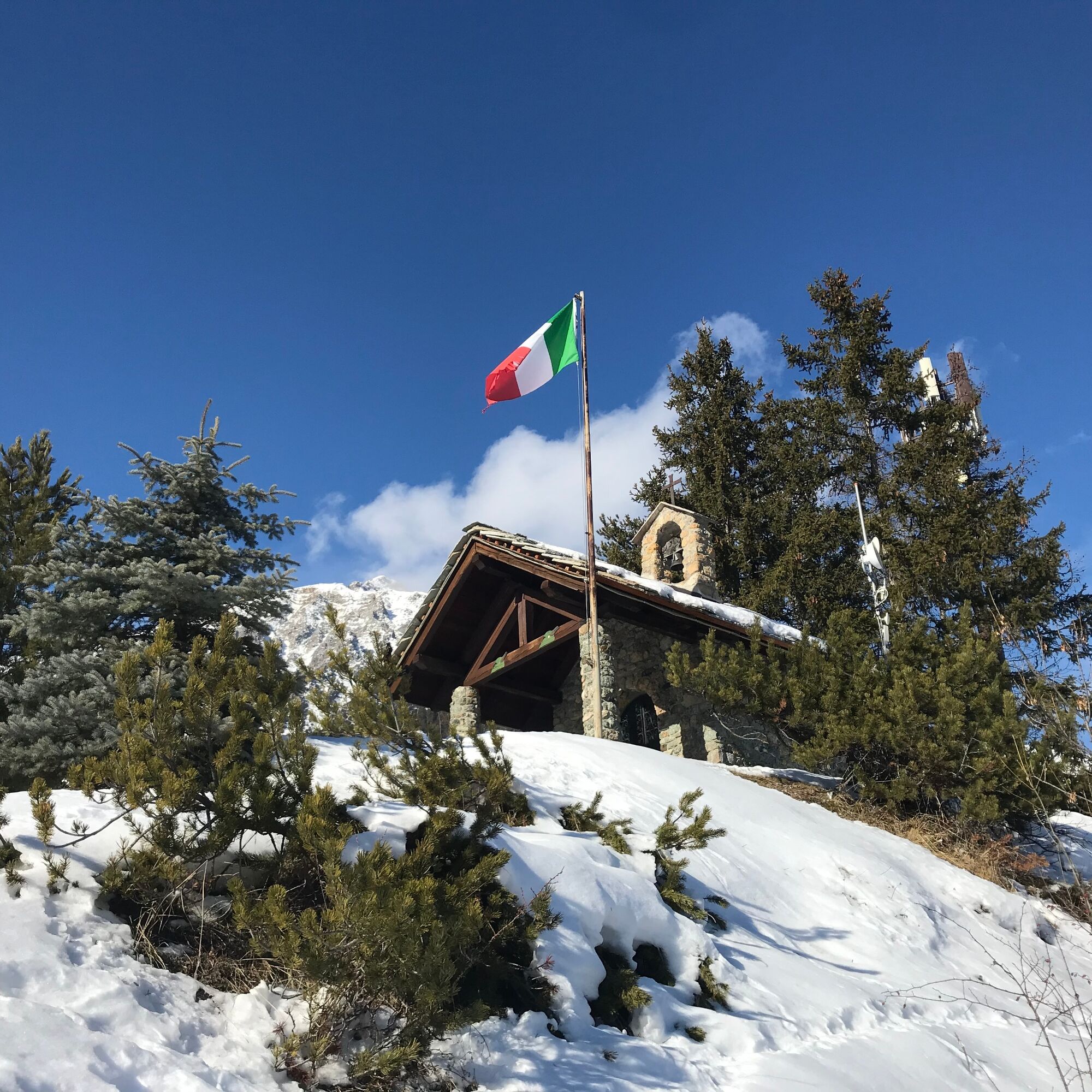
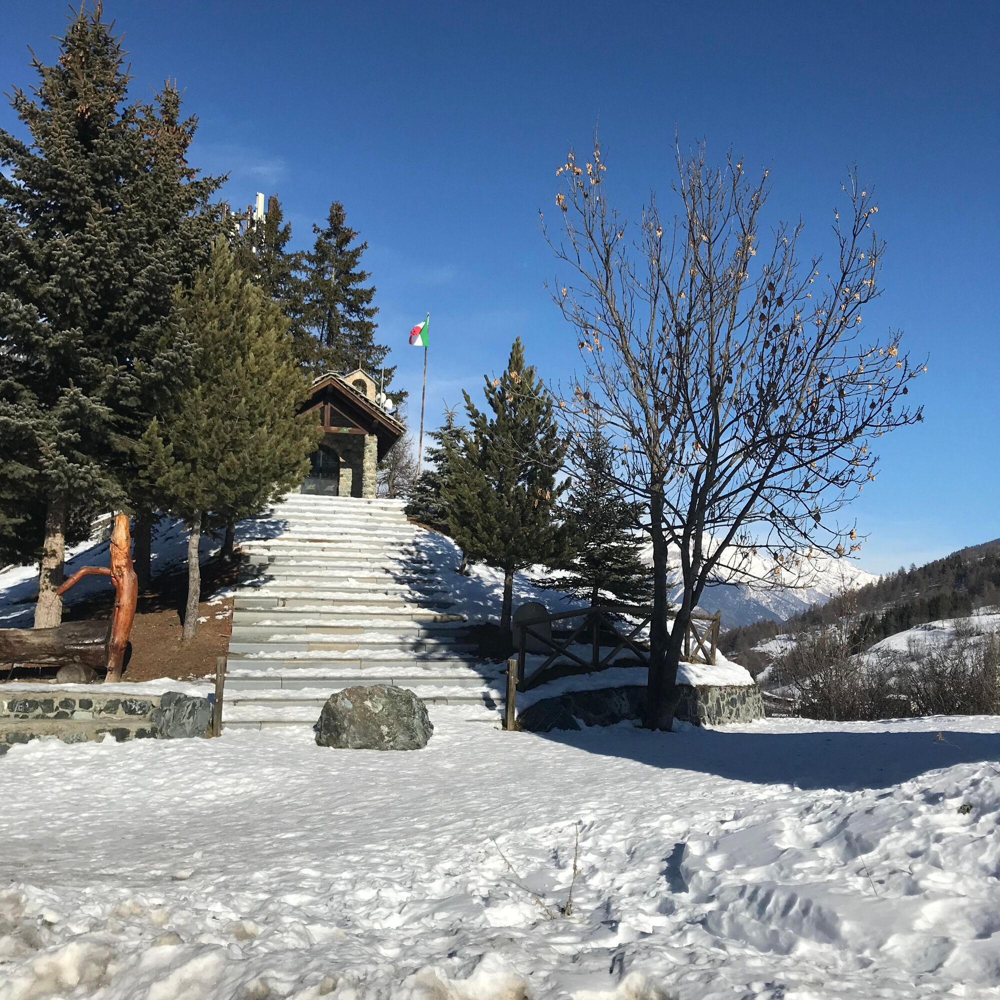
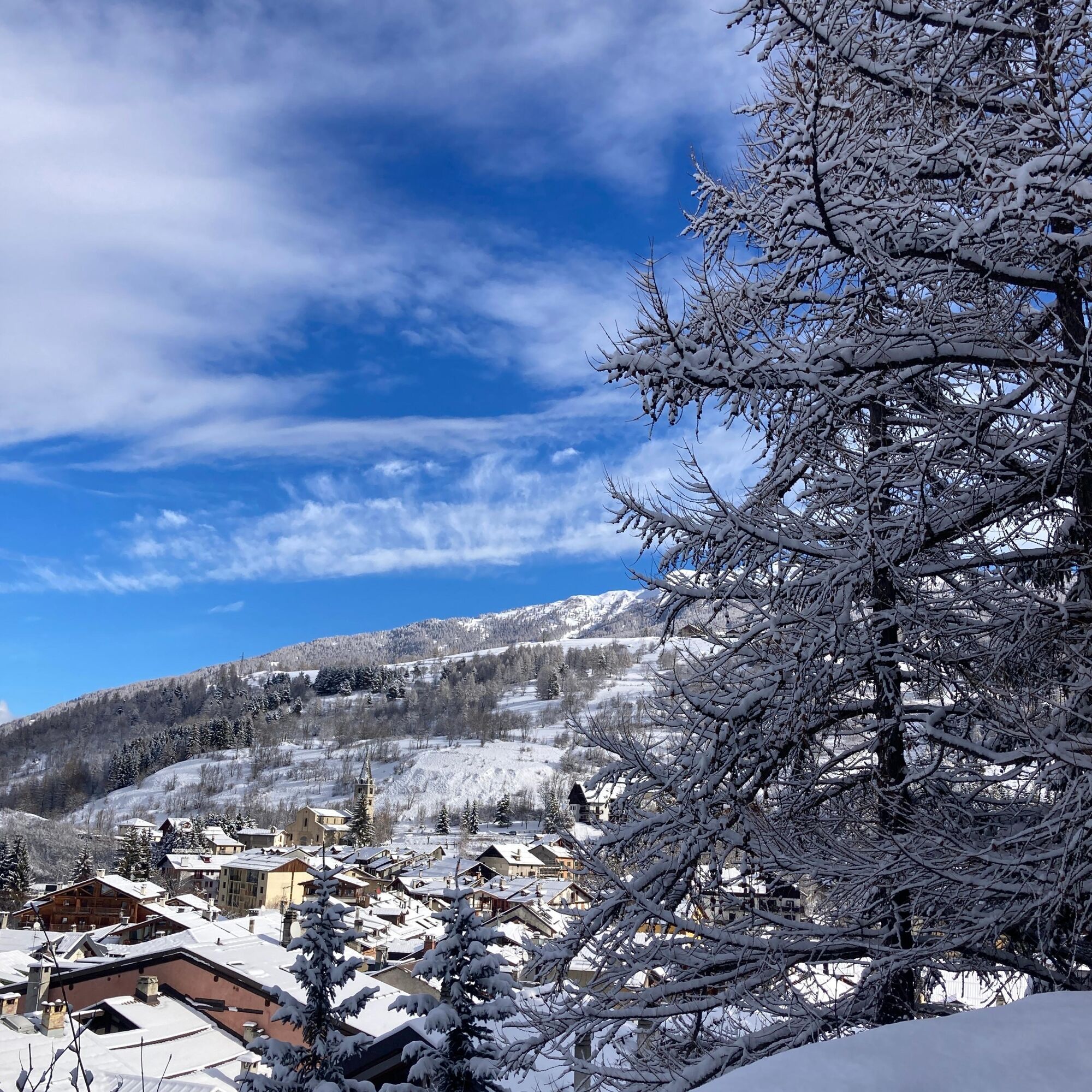
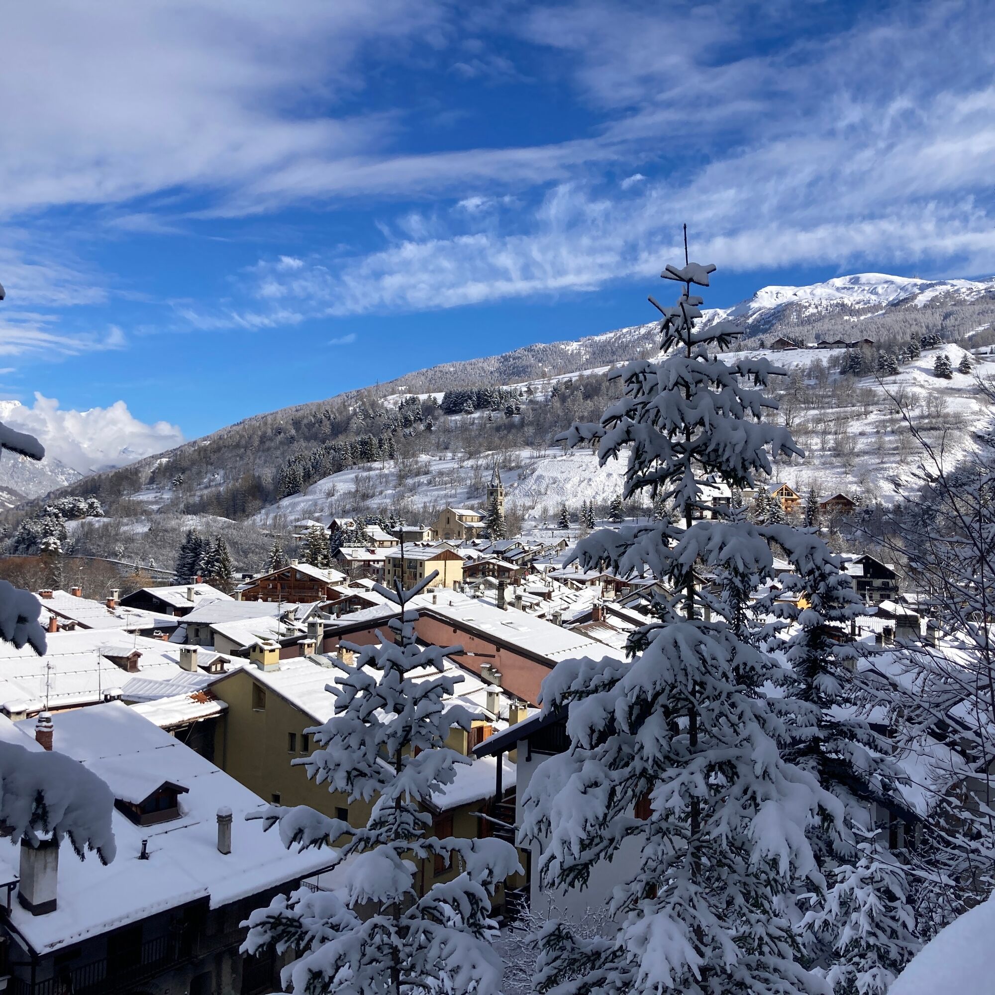
Particularly pleasant, easy and classic snowshoe route, around the village of Cesana T.se. Starting from the tourist office, walk, without snowshoes, along Via Roma towards the Chapel of the Alpini, in the Massarello area. A special feature up there is the view over all of Cesana T.se.
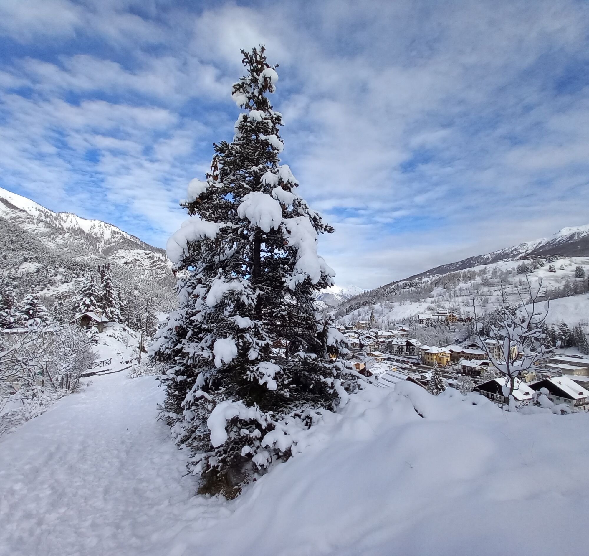
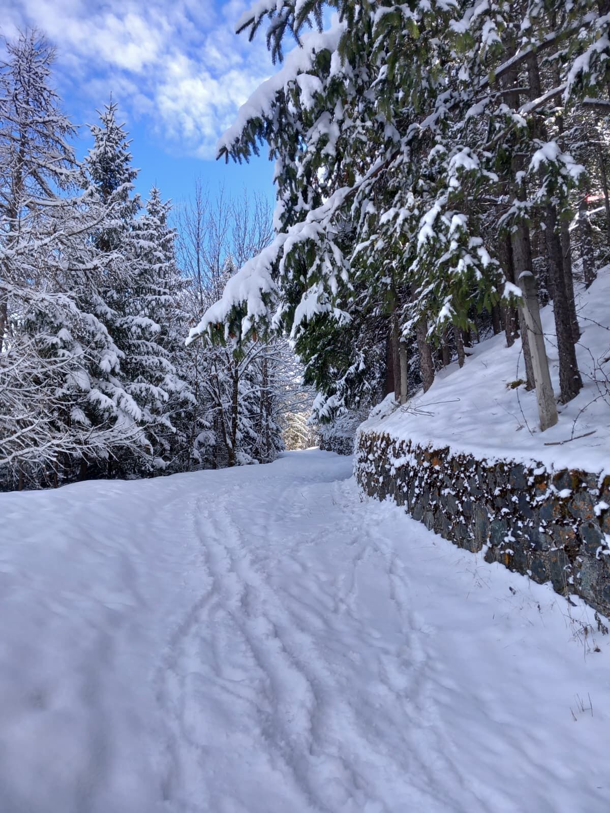
Following the track with snowshoes, continue on a gentle slope, where in winter the green meadows are covered by a soft white blanket: the first stretch develops on open ground but soon enters a dense forest of conifers which, downhill, reaches the banks of the Ripa river.
The riverbed can be particularly suggestive on the coldest days when the water freezes into particular shapes, leaving space for the imagination of the hiker. The track returns to the village via Viale Bouvier or Viale XXIV Maggio.

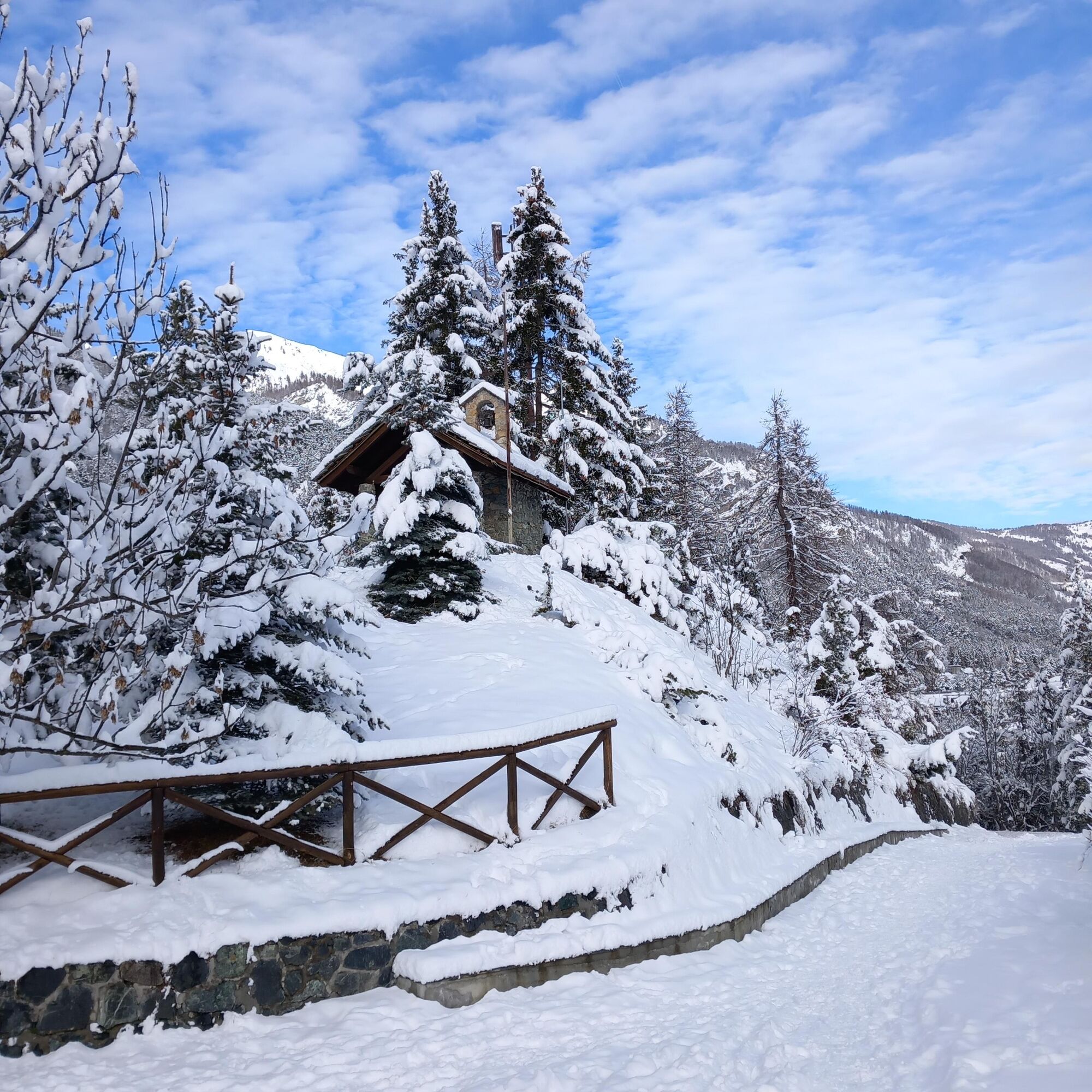
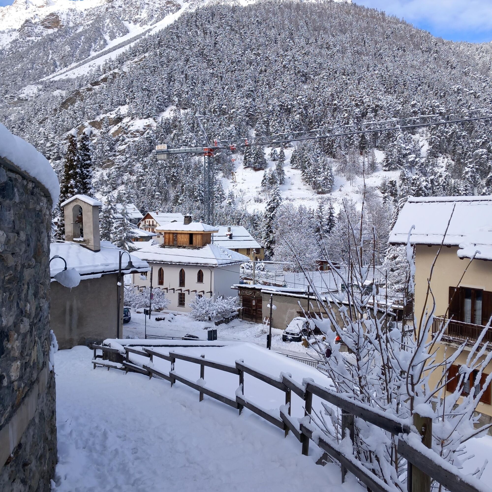
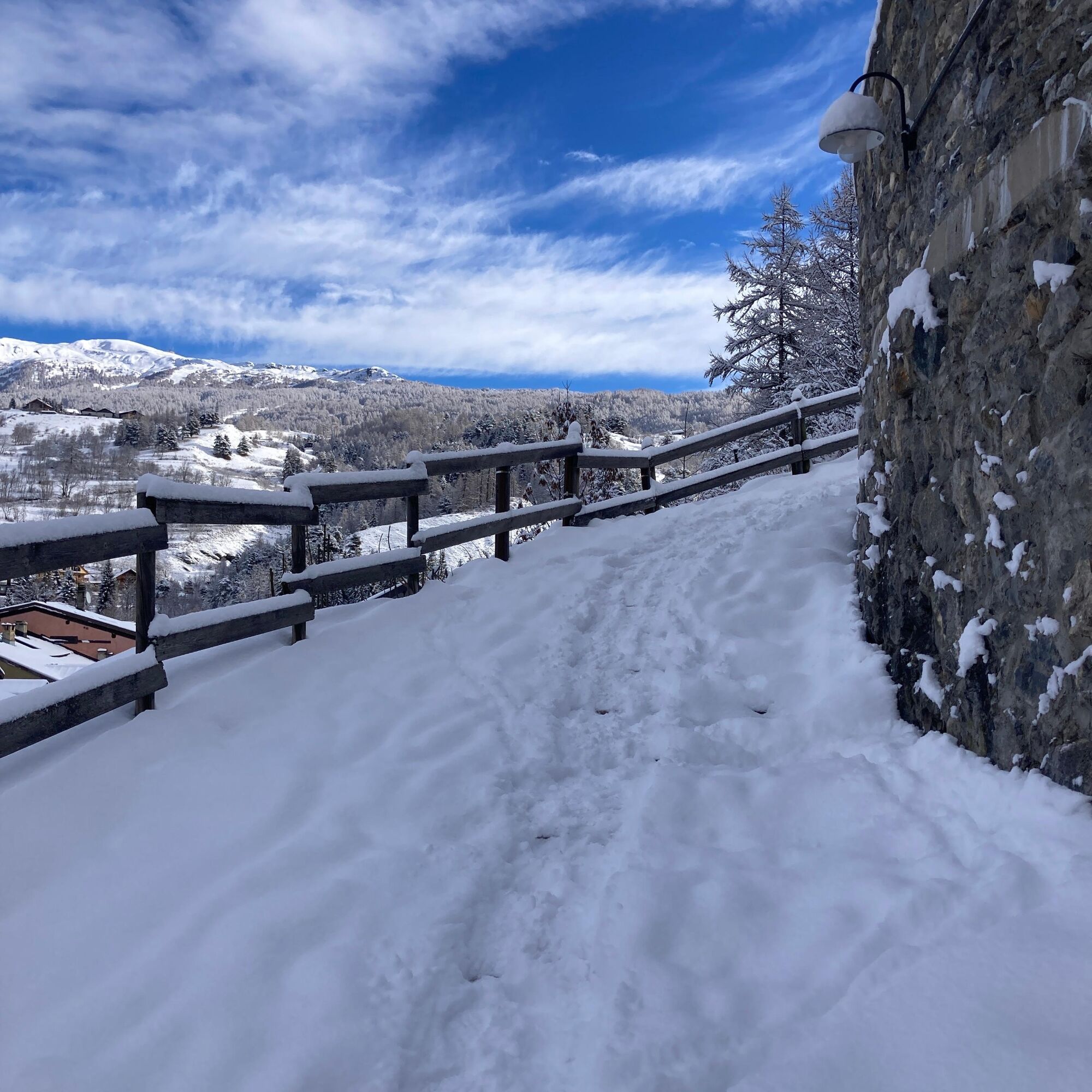
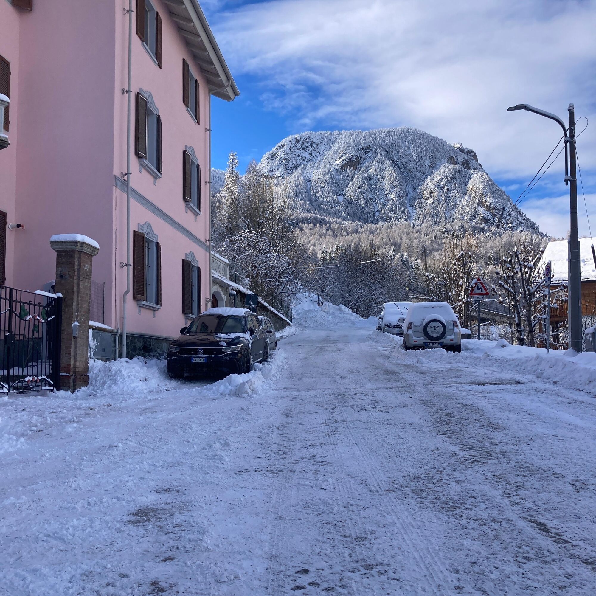
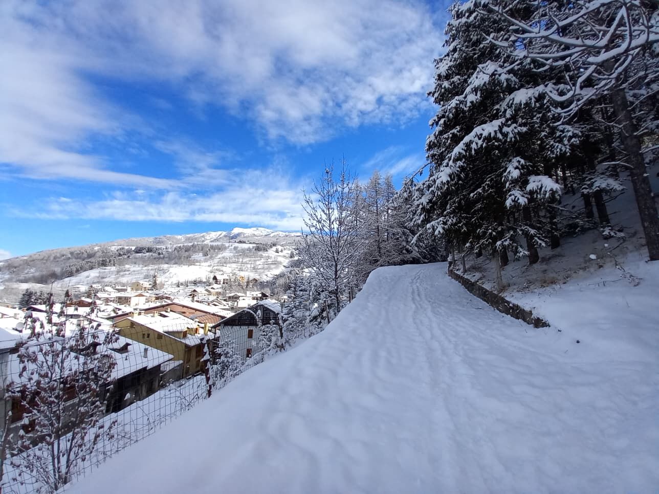
From the Tourist Office, head to Via Roma and follow it to the top, where on the left, near the Chapel of San Antonio, the staircase allows you to quickly reach the start of the route near the Chapel of the Alpini, in the Massarello area.
Tak
Clothing and footwear suitable for the winter mountain environment, snowshoes – poles - ARVA, shovel and probe.
Hiking activity in snowy environments requires the use of electronic signaling and search systems as provided by Legislative Decree no. 40/2021 art. 26
Before undertaking any excursion it is recommended to:
- consult the weather and avalanche bulletins of ARPA Piemonte, http://www.arpa.piemonte.it/bollettini
- get information from local Tourist Offices, Ski Schools or Alpine Guides.
- In case of avalanche danger, any excursion is not recommended.
We also remind you that:
- The indicated paths are only beaten by people walking: no mechanical maintenance or daily/periodic grooming service is provided.
- The difficulty level indicated in each route may vary depending on snow conditions.
- Hiking activity in snowy environments requires the use of electronic signaling and search systems as provided by Legislative Decree no. 40/2021 art. 26
From Turin follow signs for Tangenziale Nord towards Trafori - Frejus. Take the A32 motorway towards Bardonecchia and exit the motorway at Monginevro Sestriere exit. At the tunnel exit continue right towards Cesana t.se
Train from Torino P.N to Bardonecchia (stops Oulx-Cesana-Claviere-Sestriere) + Bus Arriva line 285 from Oulx to Sestriere stop Cesana Municipio
Parking is possible near the Tourist Office, in Piazza Vittorio Amedeo, pay attention to parking signs (time disk) or in marked parking lots in the village, ask for the Tourist Map at the tourist office
Do not throw waste into the environment but take it away, possibly collecting that left by others.
The travel times indicated are approximate and may vary depending on weather conditions and your ability.
Under certain conditions, the route can be done wearing boots and crampons
Carry a backpack with water, there are no refreshment points nor fountains along the route
Enjoy the view over the village from the Chapel of the Alpini.
Possibility to extend the excursion using the track: MASSARELLO BIS VARIANTE
Popularne wycieczki w okolicy
- 5,0
BARDONECCHIA Col des Acles - Passo della Mulattiera
średniWędrówka 6,23 km - 5,0
SESTRIERE Monte Rognosa
ciężkiWędrówka 6,42 km BARDONECCHIA - Loop Colle della Scala - Col de Montgenèvre - Colle del Sestriere
ciężkiDroga rowerowa 91,9 km- 5,0
CESANA T.SE Cesana - Fenils
światłoWędrówka 4,60 km - 5,0
CESANA T.SE Thures - Cima Bosco
ciężkiRakieta do chodzenia po śniegu 3,94 km - 5,0
BARDONECCHIA Chesal nature route
światłoWędrówka 3,48 km CESANA T.SE Lago Nero - Seven Colors Lake
średniWędrówka 3,51 kmSAUZE D'OULX Richardette - Montagne Seu )
średniMountainbike 19,9 kmOULX Borgata Seu (Gran Bosco Natural Park)
światłoRakieta do chodzenia po śniegu 5,93 kmGR® 5 La grande traversée des Alpes
średniWędrówka 95,6 km
Wędrówki i tropienie


Nie przegap ofert i inspiracji na następne wakacje
Twój adres e-mail została dodana do listy mailingowej.