© Einsiedeln-Ybrig-Zürichsee Tourismus

© Einsiedeln-Ybrig-Zürichsee Tourismus - Lorenz Hausheer

- Krótki opis
-
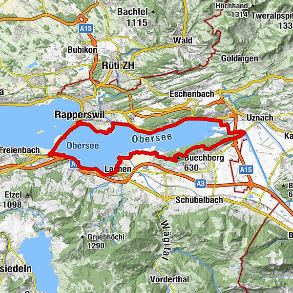
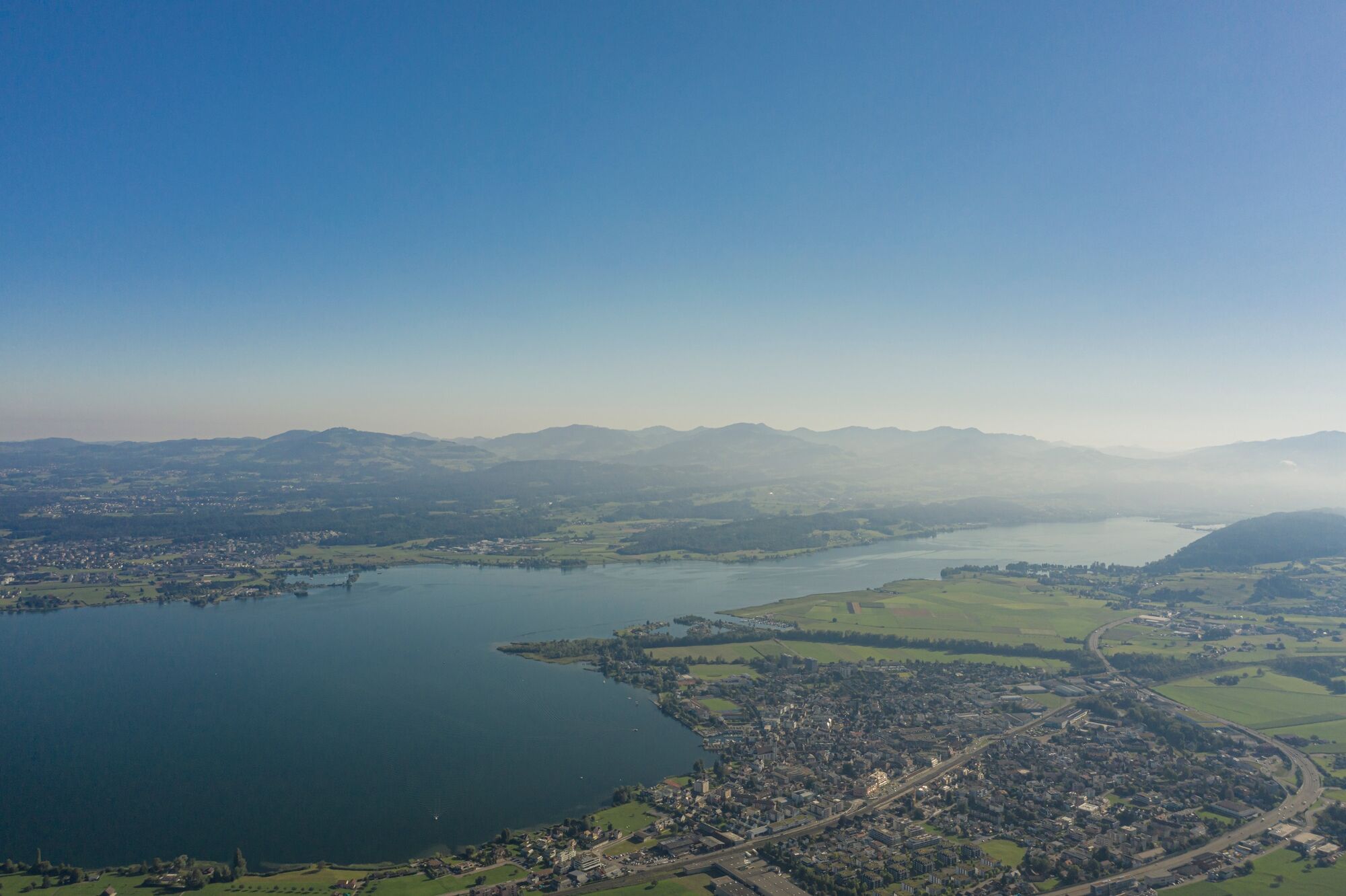
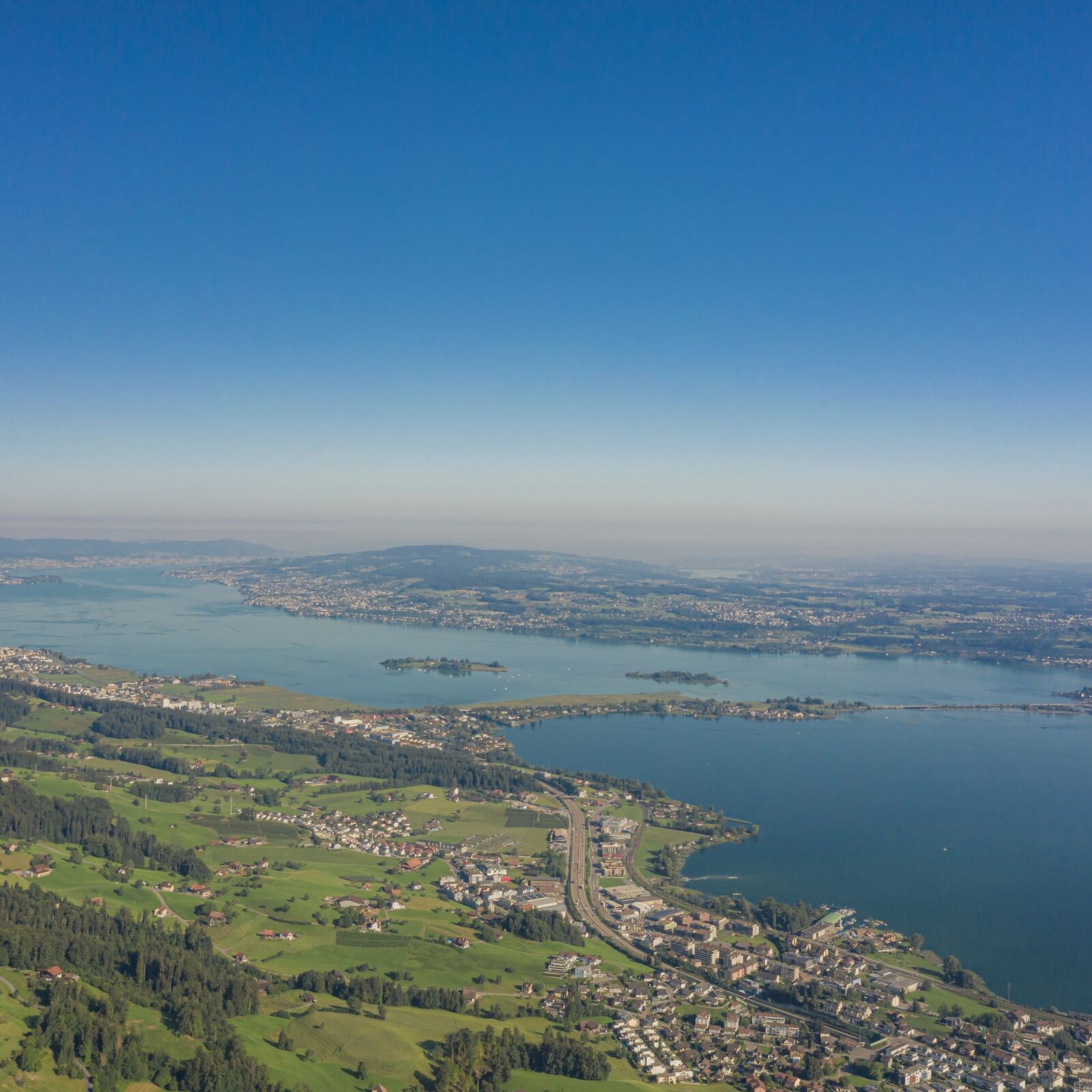
Mit dem Erlebnisweg Obersee möchte man die verschiedenen wunderbaren Perlen am Obersee in Form eines Themenweges in Szene setzen.
- Stopień trudności
-
średni
- Ocena
-
- Trasa
-
RapperswilGarnhänke0,2 kmRapperswil Hochschule (406 m)0,2 kmSeegartenkeller1,7 kmJona (420 m)3,8 kmWurmsbach5,1 kmUntere Staffeln6,0 kmStaffeln6,1 kmObere Staffeln6,5 kmSt. Pankratius7,3 kmSchifffahrt7,3 kmBollingen7,4 kmLangacher8,4 kmZum Hof8,7 kmLedischiff LS Stäfa10,1 kmSchmerikon10,6 kmSchmerikon (408 m)11,3 kmSpielplatz Förenwäldli12,4 kmLandgasthof Schloss Grynau14,5 kmSchlosswald15,2 kmChlausen15,4 kmSchrötermoos15,7 kmHundsruggen15,8 kmRüteliroos16,2 kmChrüzeggli16,6 kmFahreneggli16,7 kmGreblenrai16,9 kmBittchälen18,3 kmKathrinen18,5 kmLegi19,9 kmRot Stein20,8 kmSunnenrai20,9 kmKath. Kirche Nuolen22,7 kmNuolen22,9 kmRestaurant Flugplatz25,0 kmAahorn26,1 kmLachen (408 m)27,5 kmKatholische Pfarrkirche Heilig-Kreuz27,8 kmSeehof28,4 kmSeestatt29,1 kmAltendorf29,6 kmPfäffikon (416 m)33,6 kmGasthof Seefeld34,6 kmHurden35,5 kmHeilig Hüsli36,8 kmRapperswil37,0 kmJona (420 m)37,0 kmGarnhänke37,1 km
- Najlepszy sezon
-
stylutmarkwimajczelipsiewrzpaźlisgru
- Najwyższy punkt
- 605 m
- Miejsce docelowe
-
Frei wählbarer Punkt entlang der Strecke
- Profil wysokości
-
 © outdooractive.com
- Autor
-
Wycieczka Erlebnisweg Obersee jest używany przez outdooractive.com pod warunkiem.
GPS Downloads


Informacje ogólne
Przystanek odświeżania
Kulturalny/Historyczny