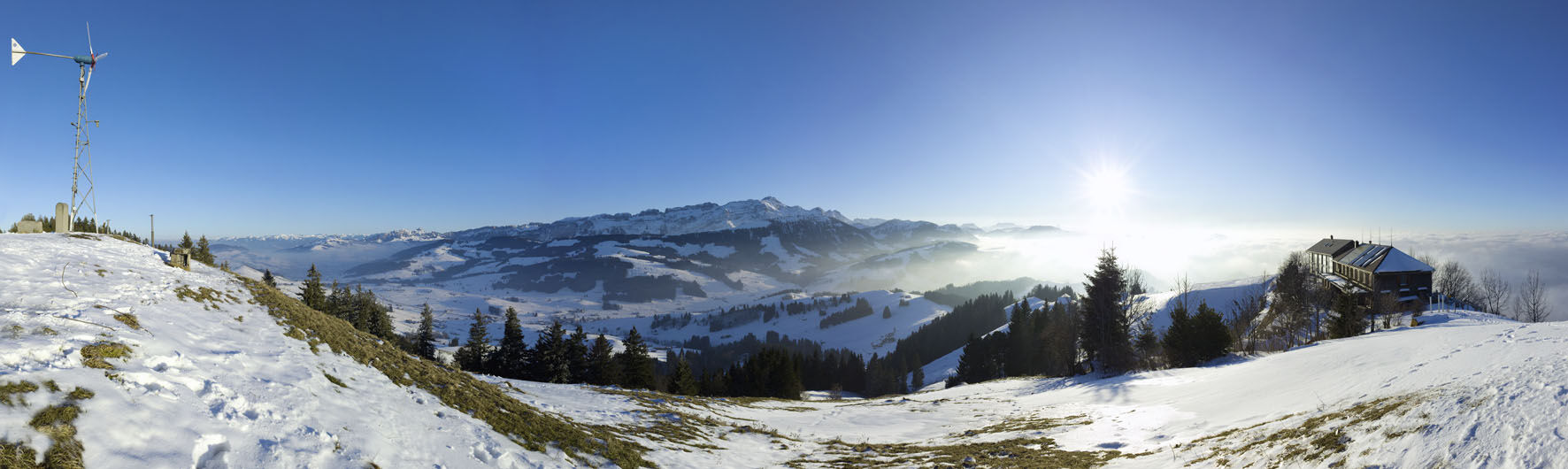
© Appenzellerland AR - Marcel Steiner

© Appenzellerland AR - Marcel Steiner

© Appenzellerland AR - Peter Thuma

© Appenzellerland AR - Marcel Steiner
- Krótki opis
-
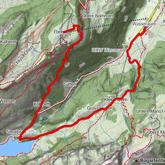
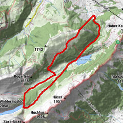
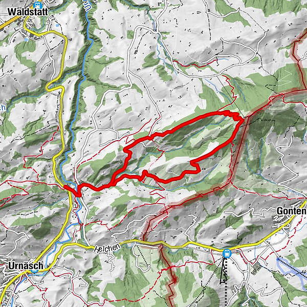
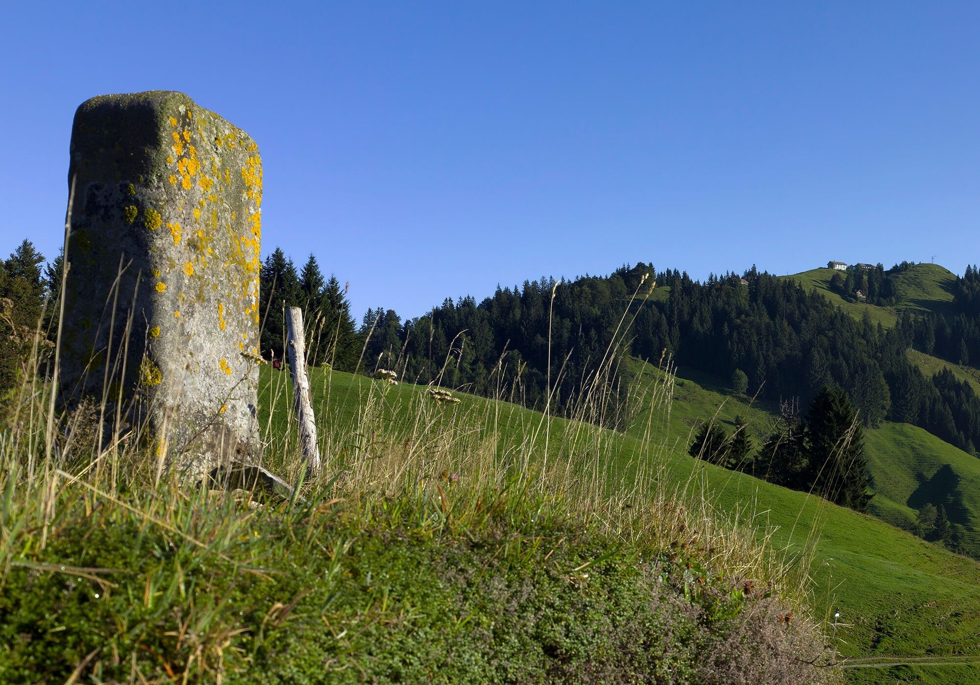
The Hundwiler Höhe is a popular hiking destination in Appenzellerland at any time of year.
- Stopień trudności
-
średni
- Ocena
-
- Trasa
-
Säntisblick0,4 kmHundwiler Höhi (1.305 m)4,2 kmSäntisblick8,3 km
- Najlepszy sezon
-
stylutmarkwimajczelipsiewrzpaźlisgru
- Najwyższy punkt
- 1.269 m
- Miejsce docelowe
-
Zürchersmühle station
- Profil wysokości
-
 © outdooractive.com


- Autor
-
Wycieczka Looped trail to Hundwiler Höhi jest używany przez outdooractive.com pod warunkiem.
GPS Downloads


Informacje ogólne
Obiecujący
Więcej wycieczek w regionach
-
Appenzellerland
1956
-
Appenzell Ausserrhoden
896
-
Jakobsbad - Kronberg
335