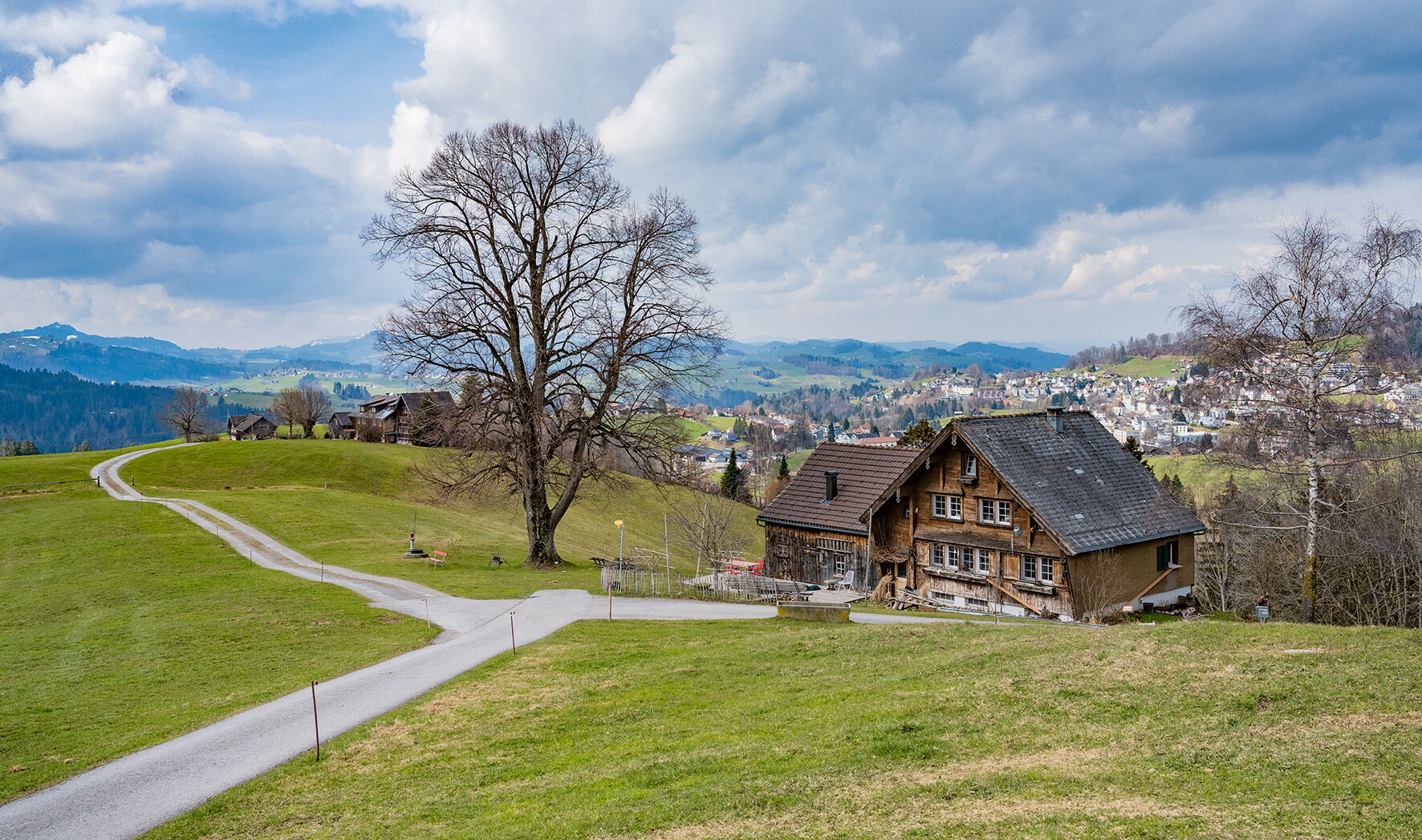
© Jolanda Spengler, Appenzeller Magazin

© Jolanda Spengler, Appenzeller Magazin

© Jolanda Spengler, Appenzeller Magazin
- Krótki opis
-
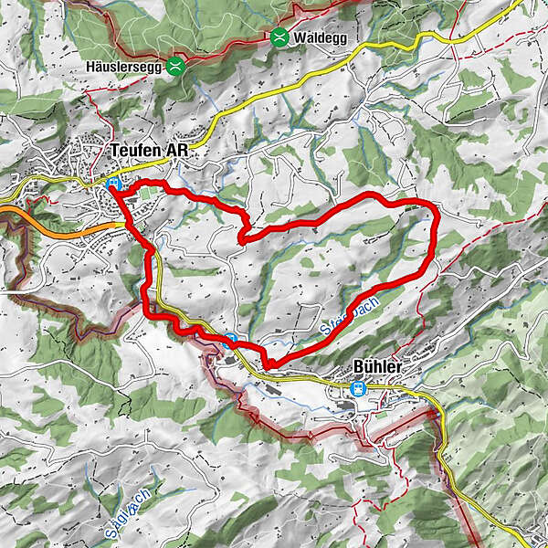
The nine-kilometre circular hike leads over hills and through forests from Teufen via Gern to Steigbach and back again.
- Stopień trudności
-
średni
- Ocena
-
- Trasa
-
Teufen ARSankt Gallen (675 m)Zur Linde0,4 kmSteigbach (814 m)2,3 kmTeufen AR8,9 kmTeufen AR (837 m)9,3 km
- Najlepszy sezon
-
stylutmarkwimajczelipsiewrzpaźlisgru
- Najwyższy punkt
- 1.025 m
- Miejsce docelowe
-
Teufen train station
- Profil wysokości
-
 © outdooractive.com


- Autor
-
Wycieczka Between Goldibach, Steigbach and Rotbach jest używany przez outdooractive.com pod warunkiem.
GPS Downloads


Więcej wycieczek w regionach
-
Appenzellerland
1957
-
Appenzell Ausserrhoden
896
-
Bühler
328