


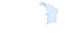

Murgsee leisure route
Zdjęcia naszych użytkowników
From Murg on Walensee, you reach the starting point Mornen parking lot by car or taxi on call. Via Alp Guflen, you reach the forest reserve with ancient Swiss stone pine, where all wood use is prohibited....
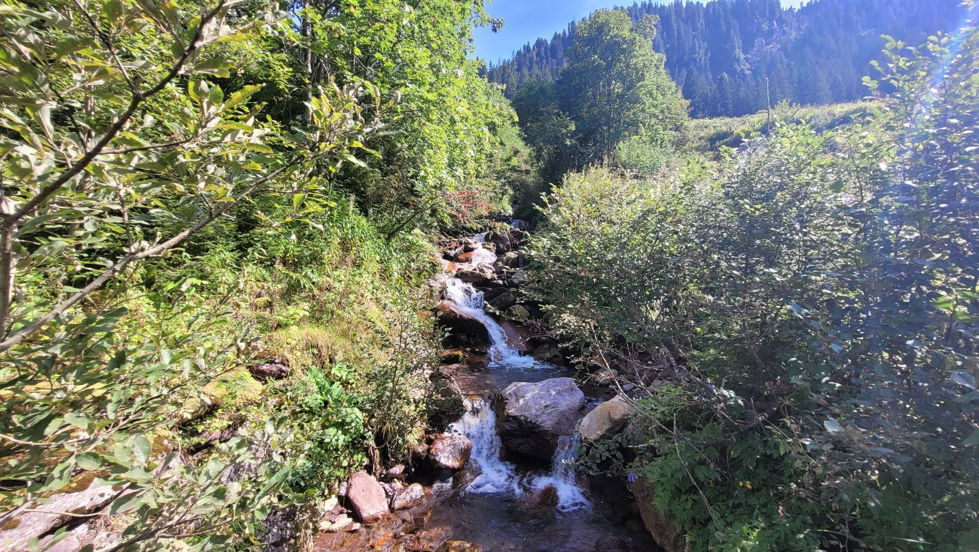
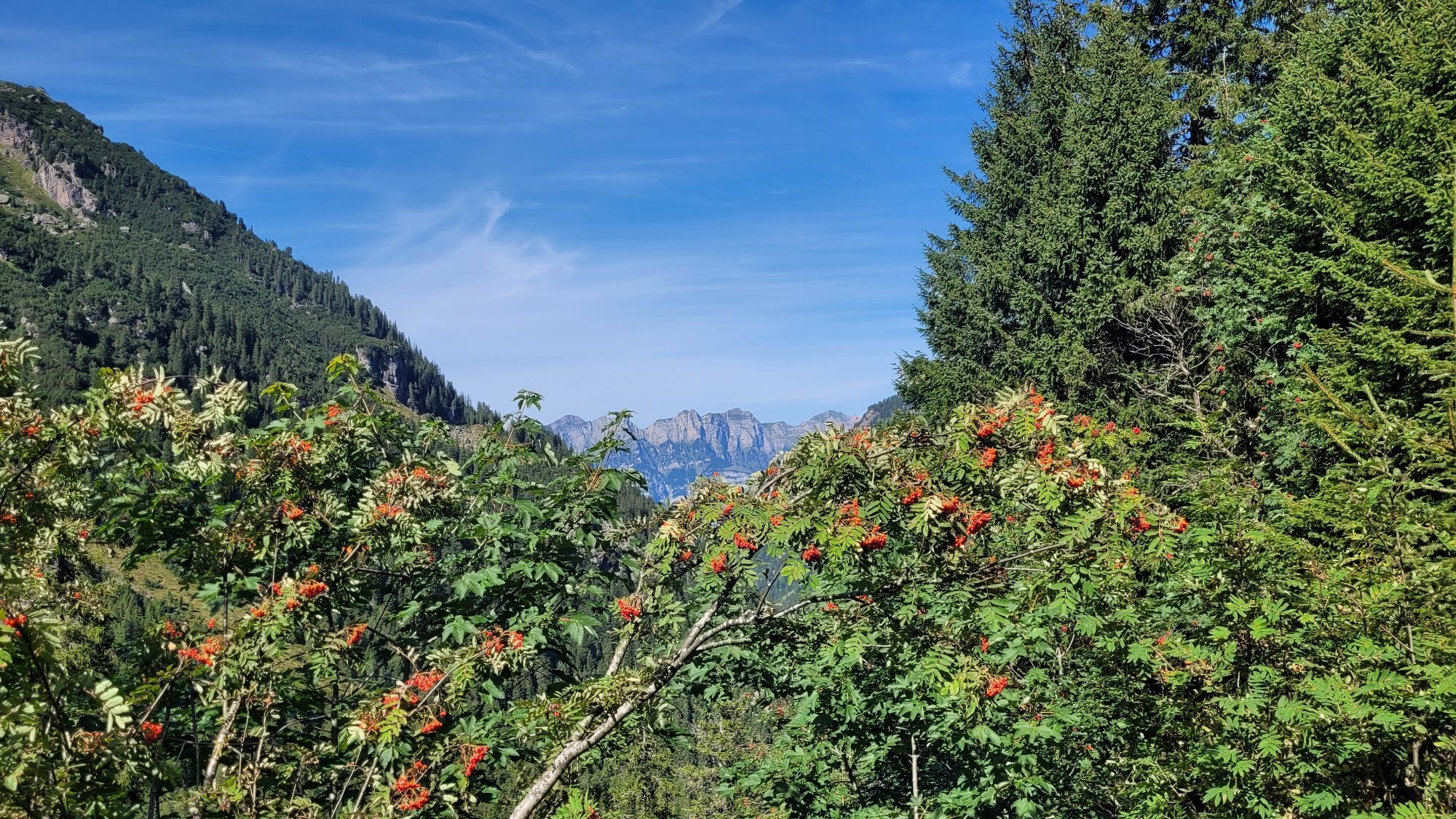
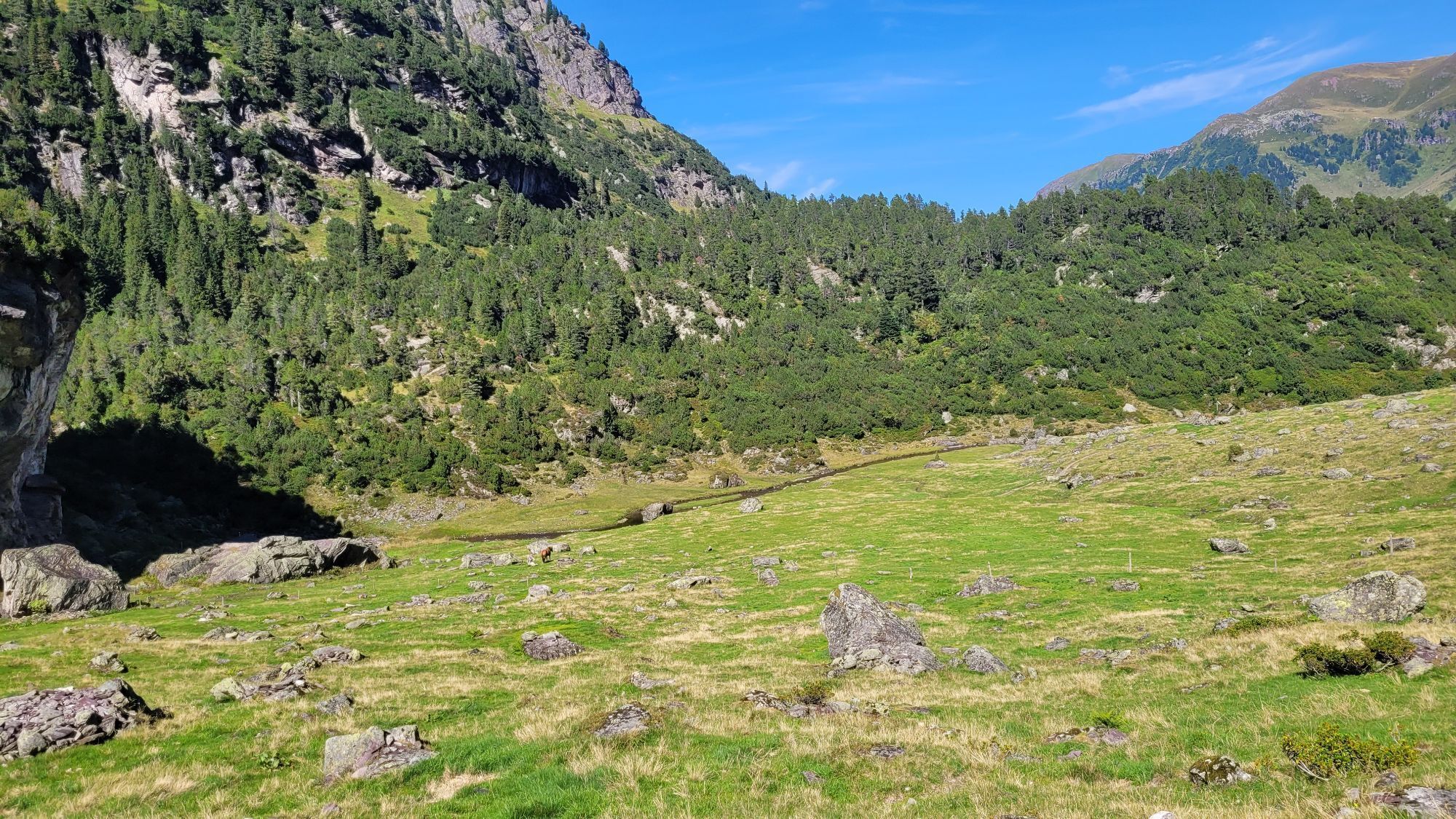
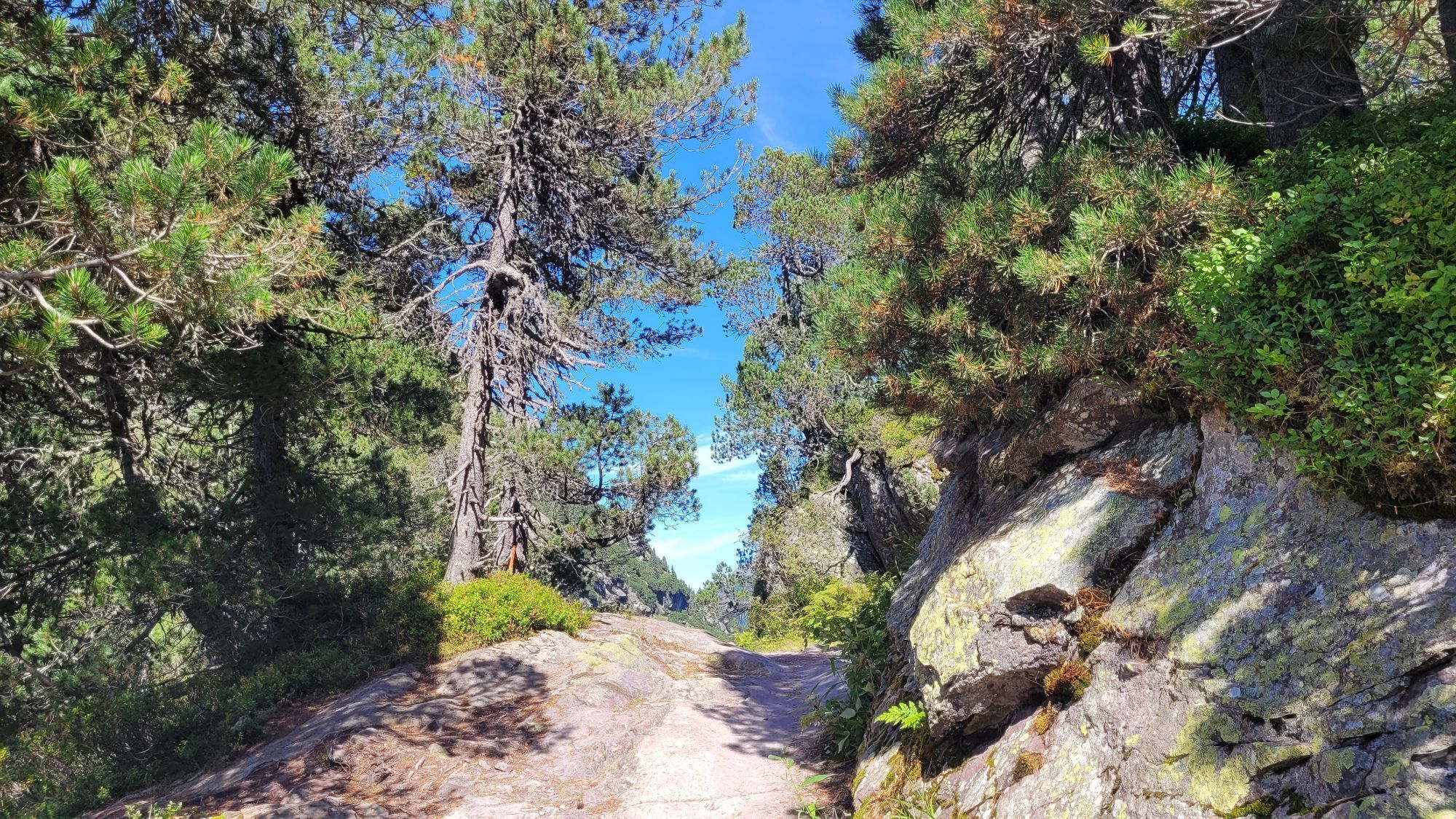
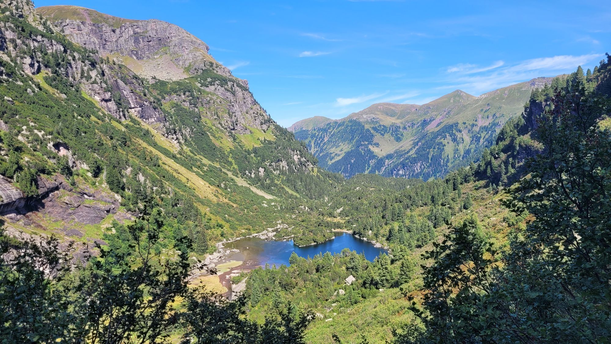
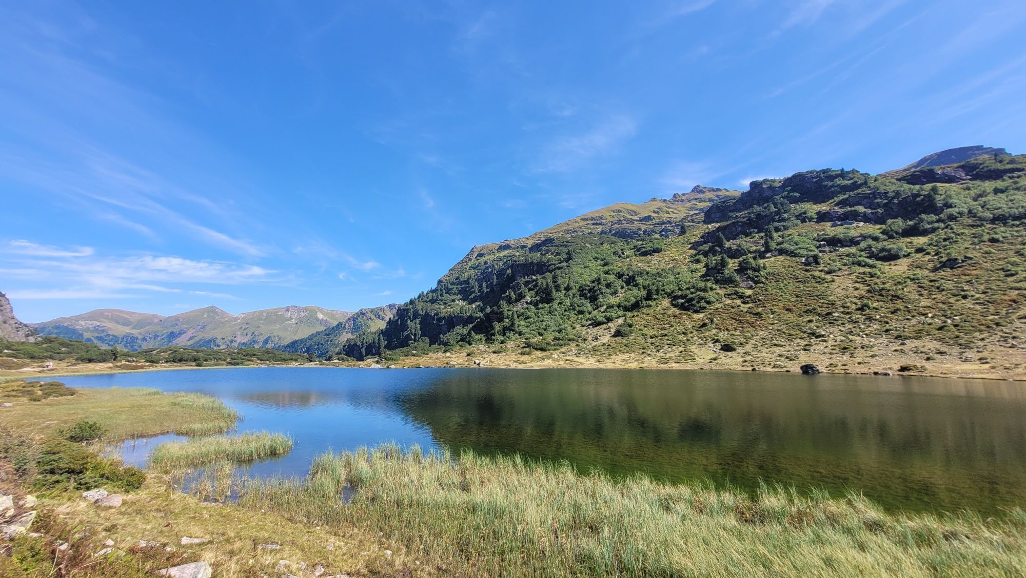
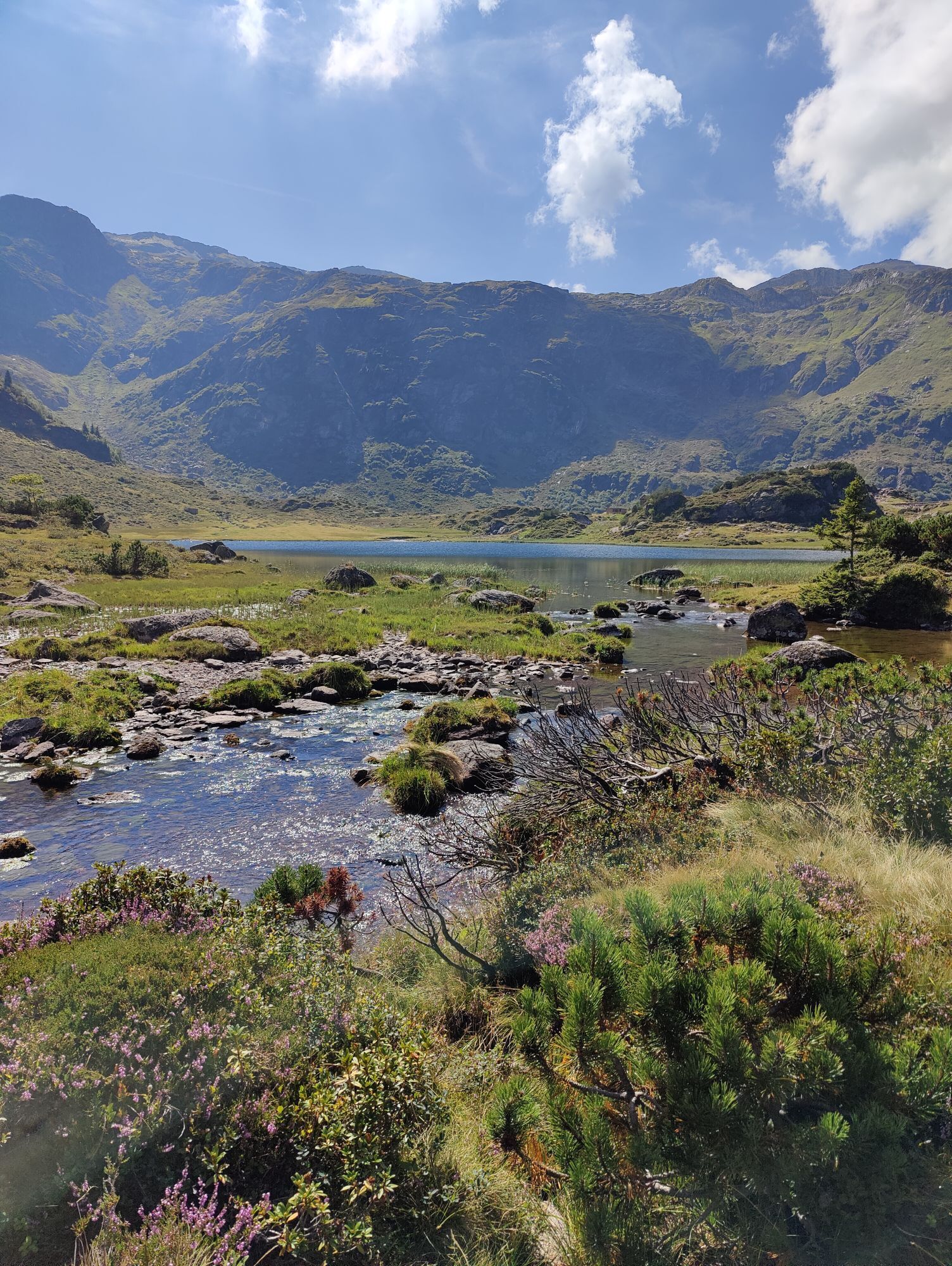
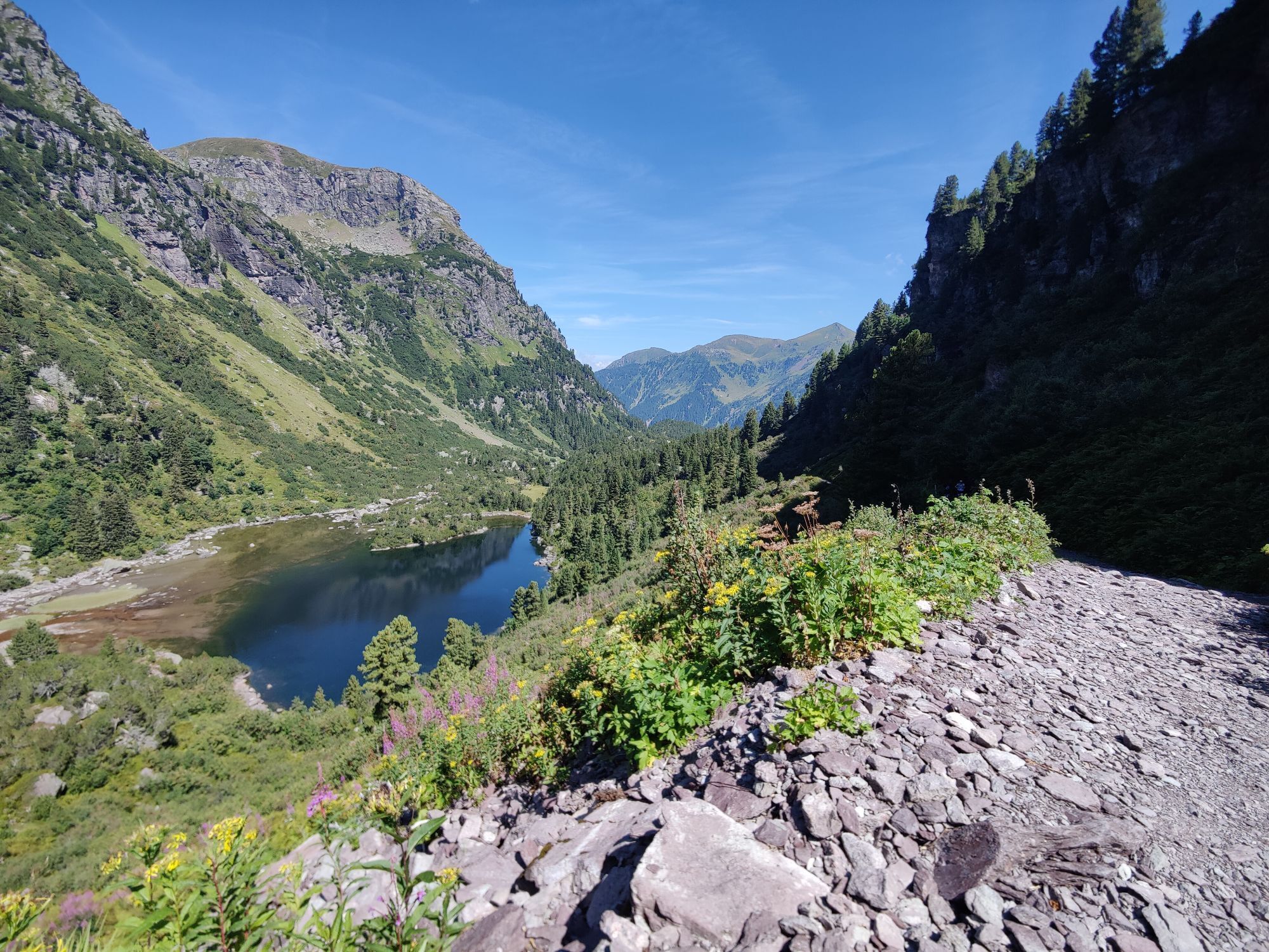
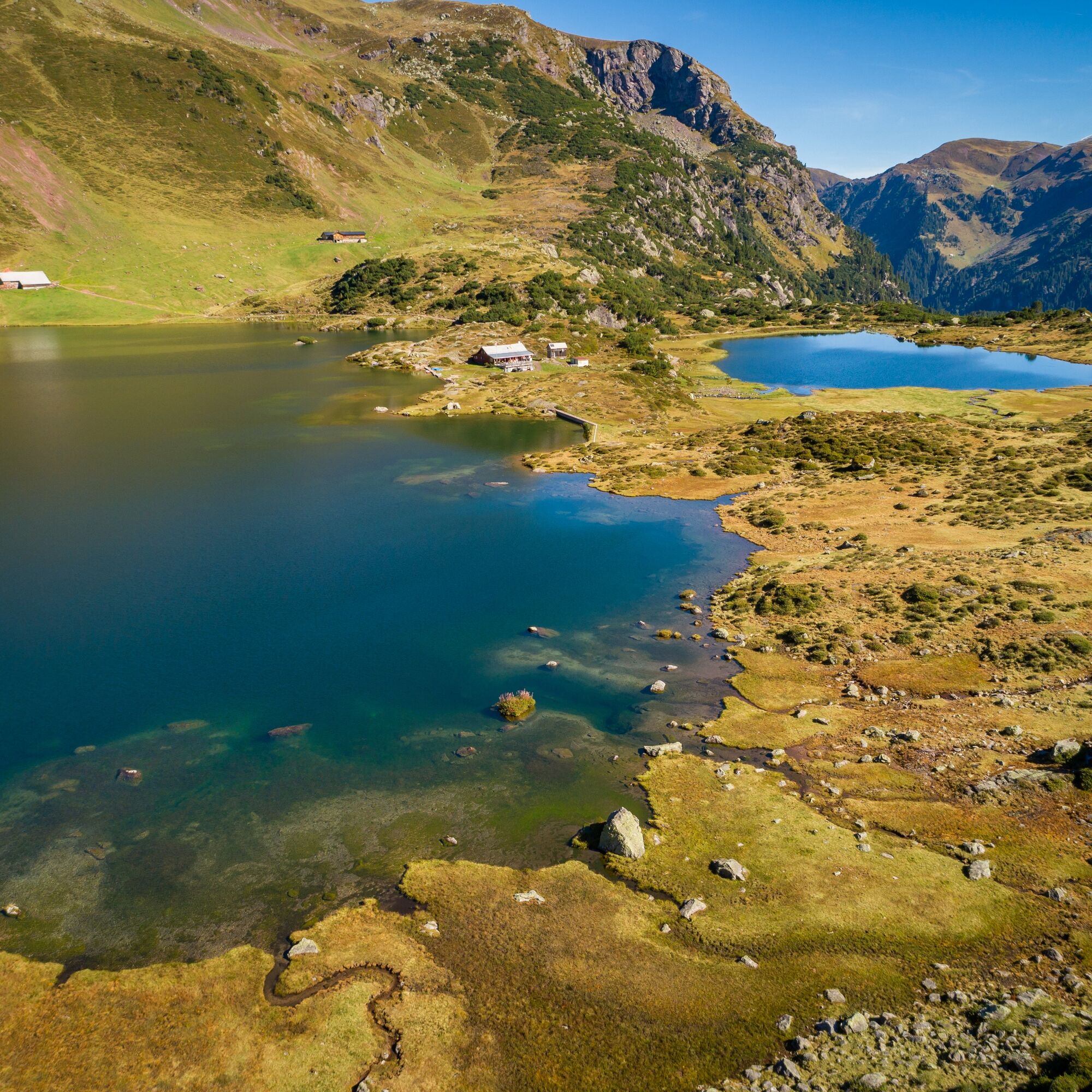
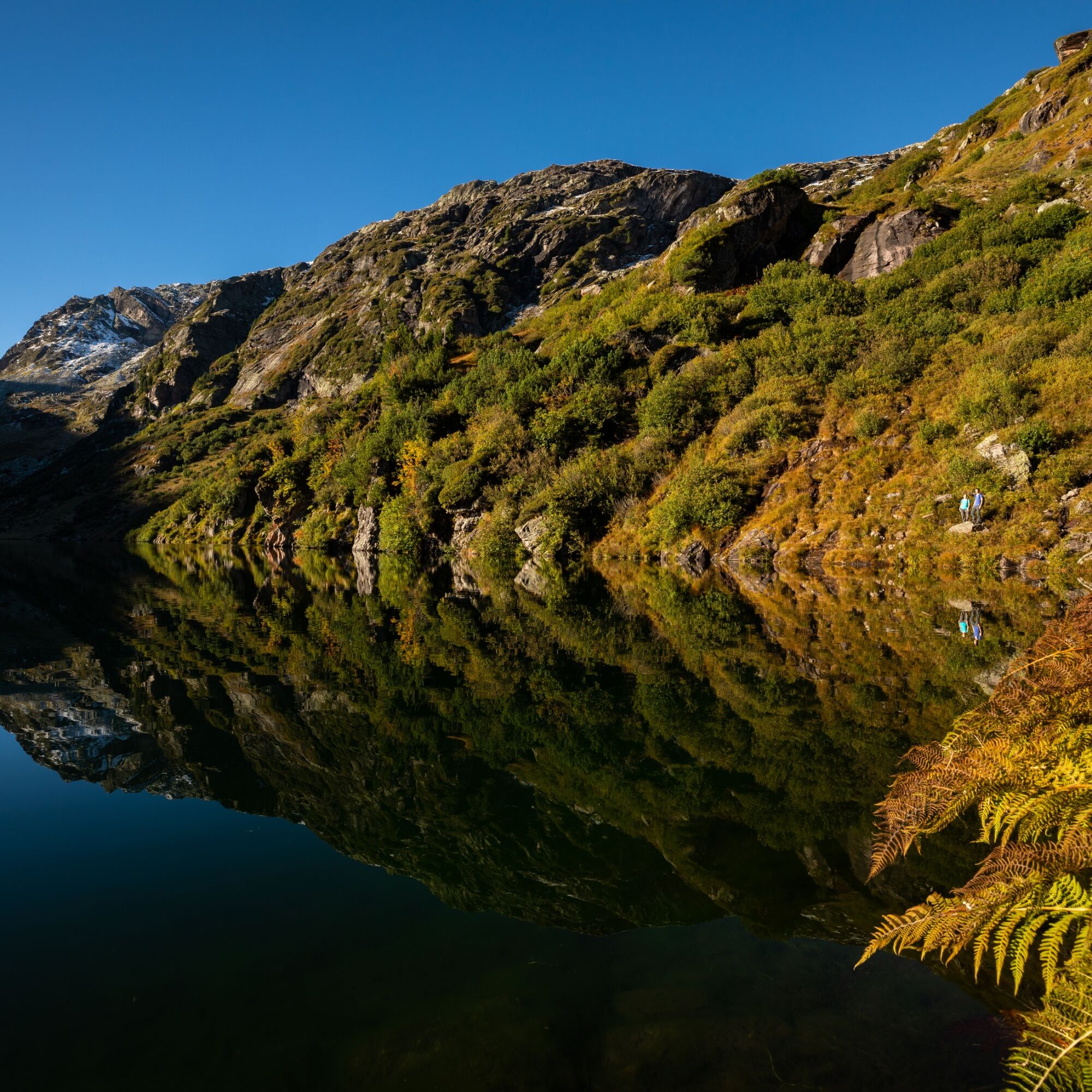
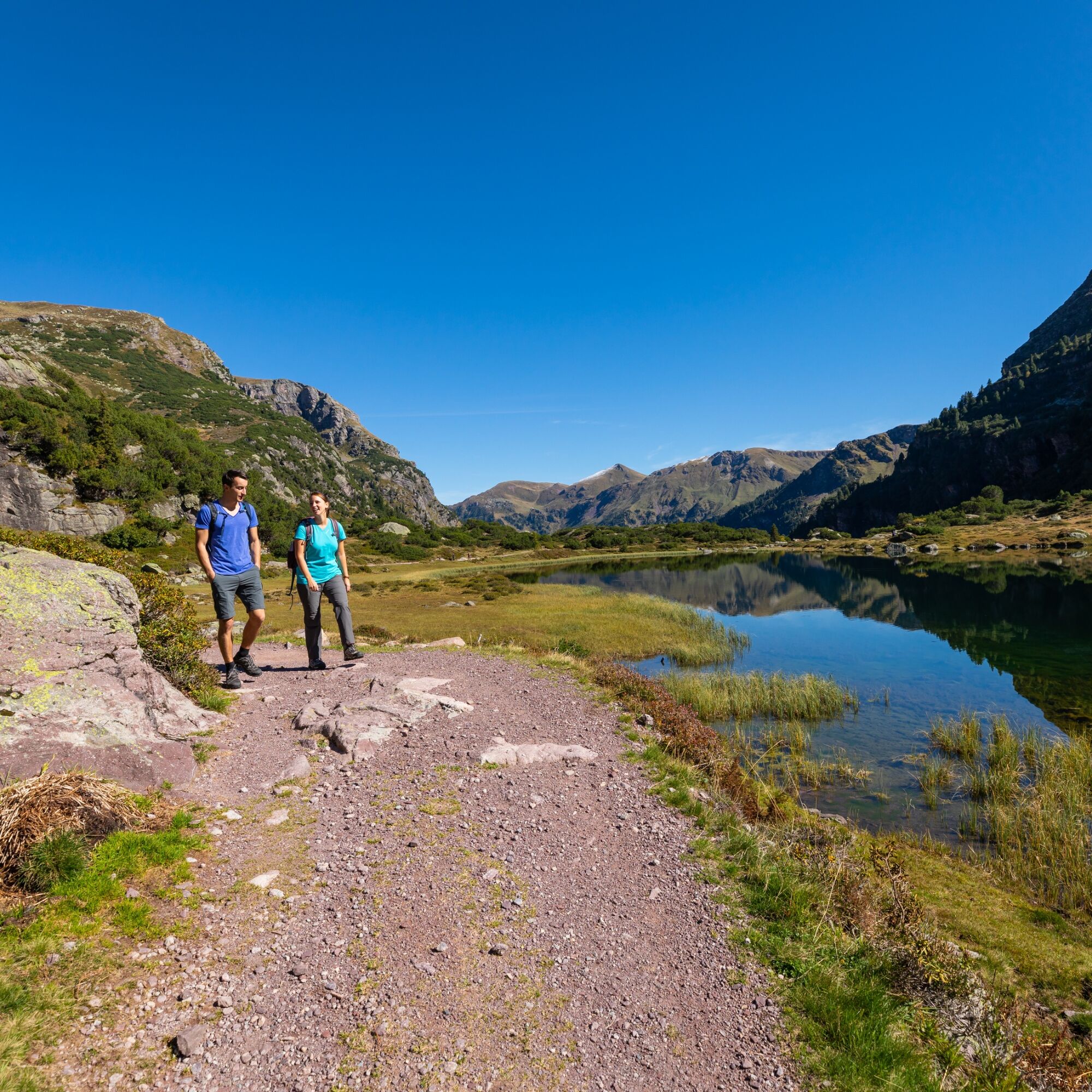
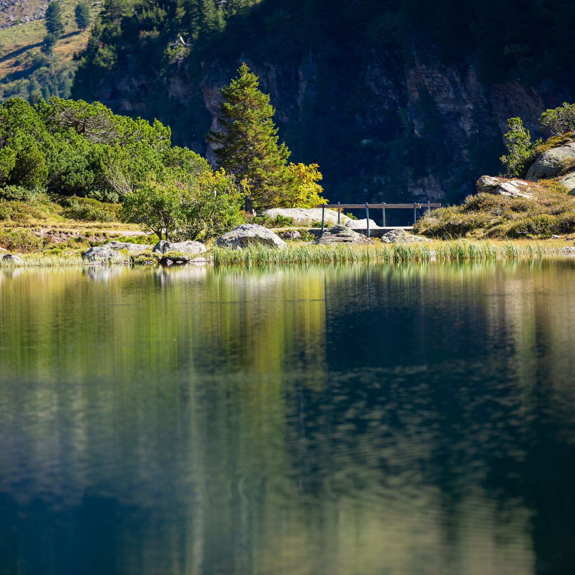
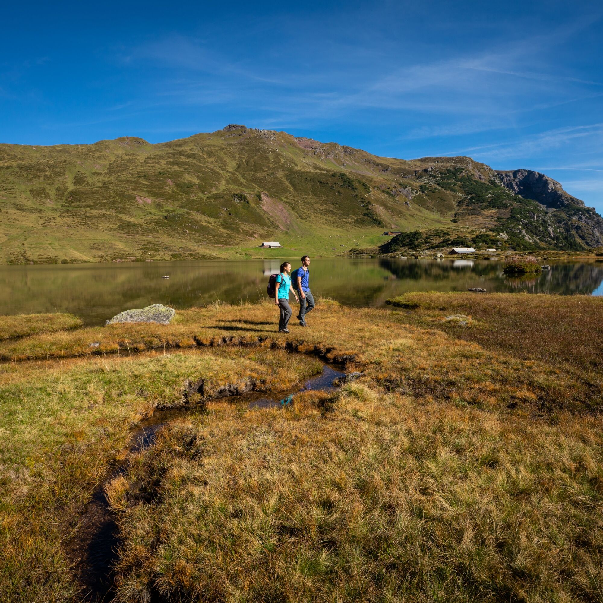
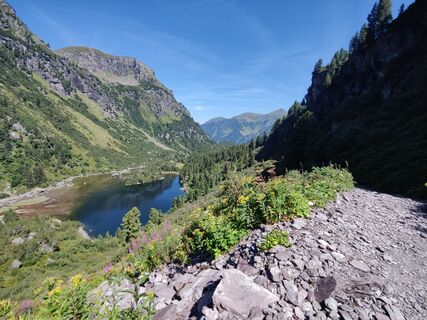
From Murg on Walensee, you reach the starting point Mornen parking lot by car or taxi on call. Via Alp Guflen, you reach the forest reserve with ancient Swiss stone pine, where all wood use is prohibited. You will soon catch a glimpse of the waterfall plunging down to the lower Murgsee. Shortly afterwards, you reach the Middle and Upper Murgsee with the Murgsee hut, which owes its origin to former ore mining. The Murg lakes are framed by a crown of mountains. On the left, the imposing Mürtschenstock rises with its three peaks Stock, Fulen, and Ruchen. The return is on the same path, but the view downstream repeatedly reveals new facets of the original Murgtal.

Mornen - Murgsee - Mornen
Tak
Tak
For this hike, sturdy footwear is recommended, as parts of the path can be wet and slippery, especially after rain or during snowmelt.
In spring, the hiking trail between the middle and lower Murgsee (Peterjosen-Gfäsch) can still be snow-covered. Since the terrain beside the path is steep, caution is advised under these conditions.
Motorway exit Murg, continue on the main road towards Murg, from the village center follow the signs "Murgtal"
There is no public transport connection for the approach. The current recommendation is therefore to take the train to Murg (or Walenstadt) and from there take the Taxi Walensee (climate-neutral e-taxi, +41 79 735 30 00) into the Murgtal.
Paid parking (CHF 10 per day) in the Murgtal.
Mornen parking lot (recommended for the leisure route)Murgsee mountain guesthouse
T +41 81 511 03 63
www.murgsee.ch
Heidiland Tourism AG, Info point Flumserberg
T +41 81 720 18 18
www.heidiland.com
On the sun terrace of the Murgsee mountain guesthouse, you can enjoy your hiking break with food and drink doubly.


Popularne wycieczki w okolicy
- 4,7
Walensee Riviera Weesen - Quinten
średniWędrówka 10,2 km - 4,7
Riviera Lake Walen Walenstadt-Quinten
średniWędrówka 10,4 km - 4,6
4-Summit-Route Flumserberg
średniWędrówka 8,65 km - 5,0
Schrina Alp and Cultural Trail
średniTrasa tematyczna 11,5 km - 4,7
Quinten-Trail 453
średniBieganie 8,97 km - 4,9
Quarten - Murgseehütte - Berggasthaus Murgsee - Glarus Nord
średniWędrówka 14,7 km - 3,2
Route of amazement Flumserberg
światłoWędrówka 8,03 km - 4,5
Amden - Speer (Rundkurs)
światłoWędrówka 17,6 km - 4,8
Vorder Glärnisch
średniWędrówka 4,64 km - 3,3
Seerenbach waterfalls
światłoWędrówka 4,38 km
Wędrówki i tropienie


Nie przegap ofert i inspiracji na następne wakacje
Twój adres e-mail została dodana do listy mailingowej.