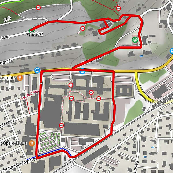
Historischer Rundgang um das Wild Heerbrugg Areal (klein)

Trasa tematyczna

© Leica Geosystems AG - Historic Wild

- Krótki opis
-
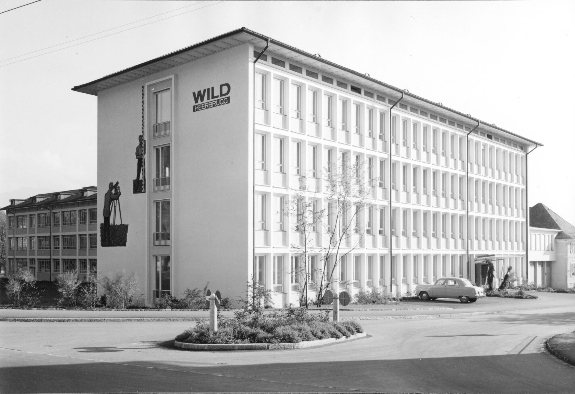
Historischer Rundgang um die ehemalige Wild Heerbrugg und heutige Leica Geosystems AG
- Trasa
-
Heerbrugg1,3 kmRebhüttli1,9 kmHalden1,9 km
- Najwyższy punkt
- 477 m
- Miejsce docelowe
-
Reception der Leica Geosystems AG, Heinrich-Wild-Strasse 201, 9435 Heerbrugg
- Profil wysokości
-
 © outdooractive.com
-

-
AutorWycieczka Historischer Rundgang um das Wild Heerbrugg Areal (klein) jest używany przez outdooractive.com pod warunkiem.
GPS Downloads


Więcej wycieczek w regionach
-
St. Gallen - Bodensee
2067
-
St. Galler Rheintal
1334
-
Balgach
310