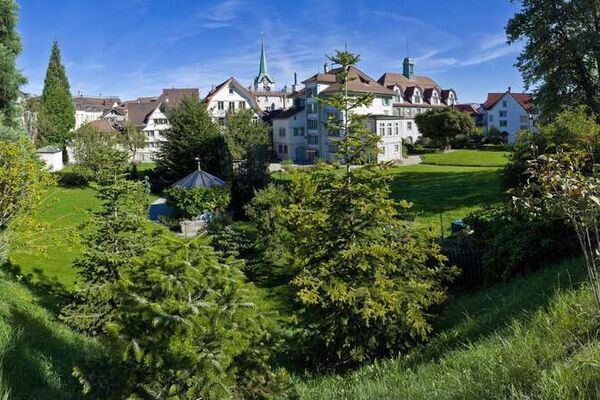
© Appenzellerland Tourismus AR - Corinne Kunz
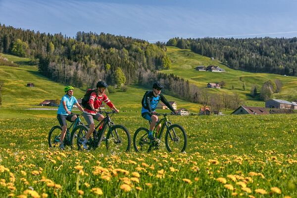
© Appenzellerland Tourismus AR - René Niederer

© Appenzellerland Tourismus AR - Hanspeter Berger
- Krótki opis
-
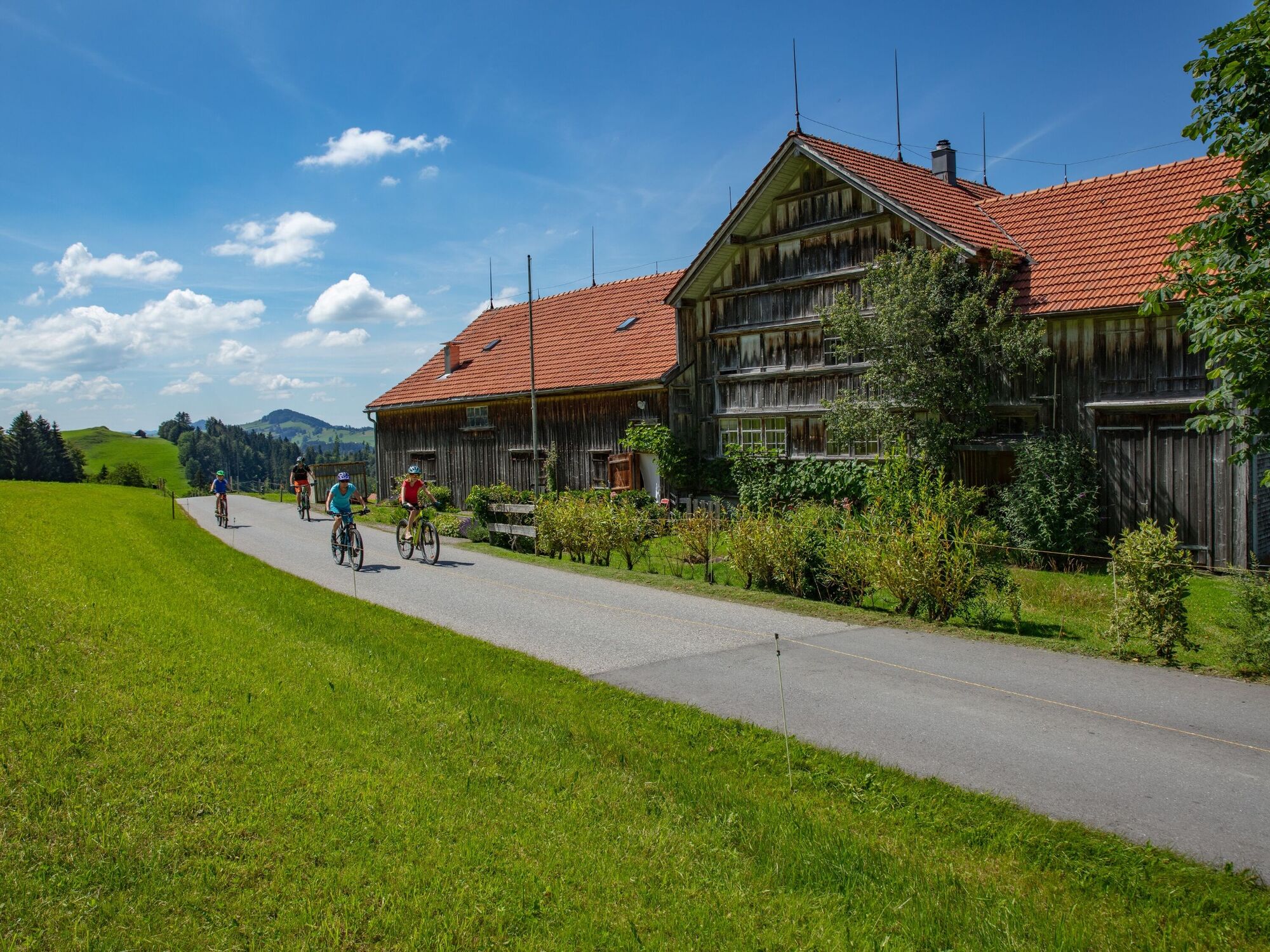
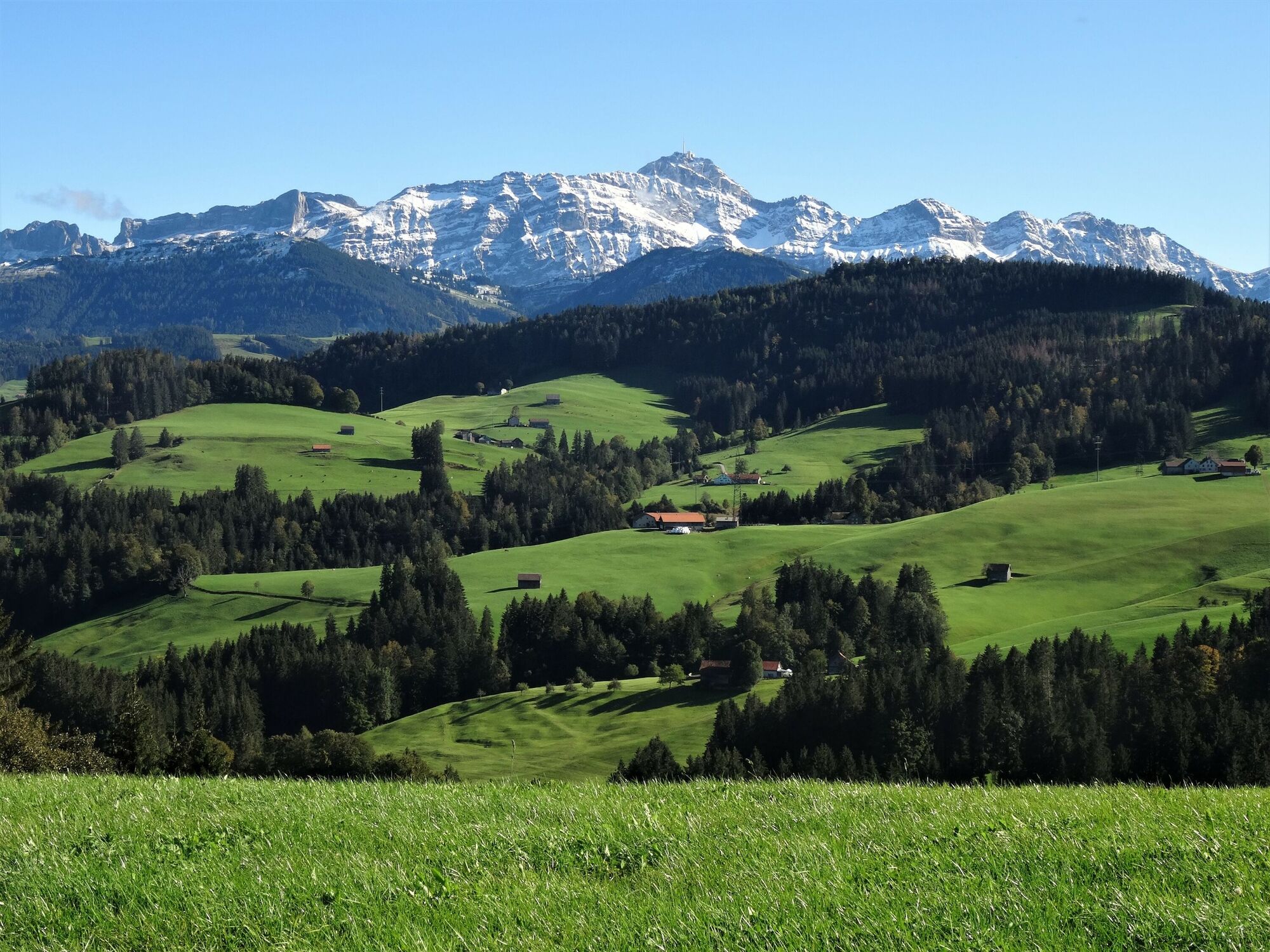
Discover the Appenzell Hinterland by bike or e-bike.
- Stopień trudności
-
średni
- Ocena
-
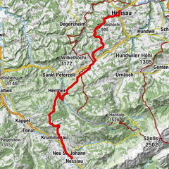
- Trasa
-
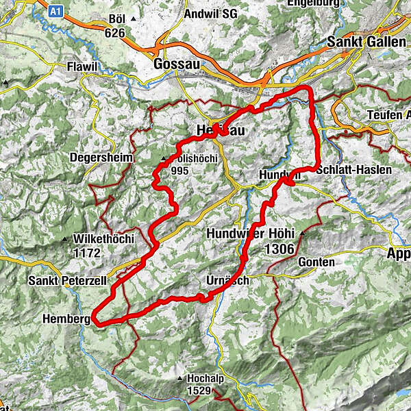
Katholische Kirche St. Peter und Paul0,1 kmHerisau (771 m)0,5 kmOpenhous Herisau1,1 kmStuel2,7 kmLehn3,2 kmBergli3,7 kmSchwellbrunn7,7 kmEvangelisch-reformierte Kirche Schwellbrunn7,8 kmDorf-Beizli7,8 kmRestaurant Metzgerei Ochsen7,9 kmk u k haus für kultur8,1 kmRisi8,9 kmTüfi10,5 kmWald11,7 kmRestaurant Ochsen11,8 kmSchönengrund11,8 kmRestaurant Schäfli12,0 kmReformierte Kirche12,1 kmBächli15,4 kmZum Rössli15,4 kmSchönau21,0 kmref. Kirche24,1 kmUrnäsch24,3 kmKatholische Kirche Urnäsch25,7 kmSäntisblick26,3 kmRestaurant Hörnli30,5 kmGrünau31,2 kmHundwil31,5 kmKirche Hundwil31,6 kmKrone31,6 kmHagtobel33,3 kmStein AR34,3 kmOchsen34,8 kmReformierte Kirche34,8 kmGasthaus Schäfli37,2 kmKapelle St. Wolfgang37,9 kmSankt Gallen (675 m)38,3 kmVineyard Herisau44,3 kmEvangelisch-reformierte Kirche44,5 kmHerisau (771 m)44,5 km
- Najlepszy sezon
-
stylutmarkwimajczelipsiewrzpaźlisgru
- Najwyższy punkt
- 1.060 m
- Miejsce docelowe
-
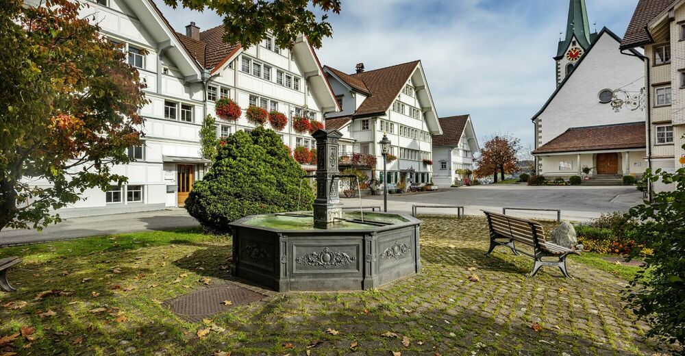
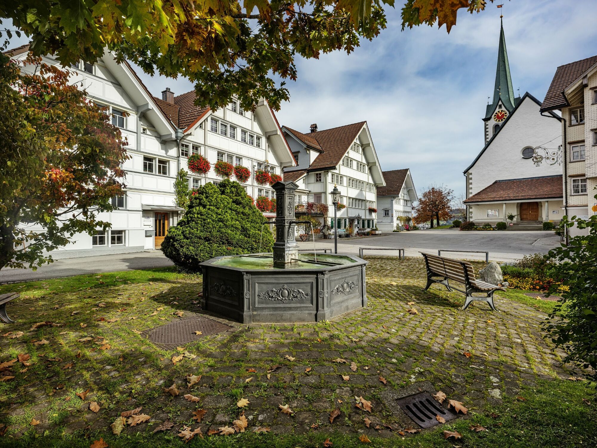
Herisau
- Profil wysokości
-
 © outdooractive.com
- Autor
-
Wycieczka Säntispanorama-Route jest używany przez outdooractive.com pod warunkiem.
GPS Downloads


Informacje ogólne
Przystanek odświeżania
Kulturalny/Historyczny
Obiecujący
Więcej wycieczek w regionach
-
Appenzellerland
235
-
Ferienregion Toggenburg
53
-
Waldstatt
19