

© Dominique Delpoux
- Krótki opis
-
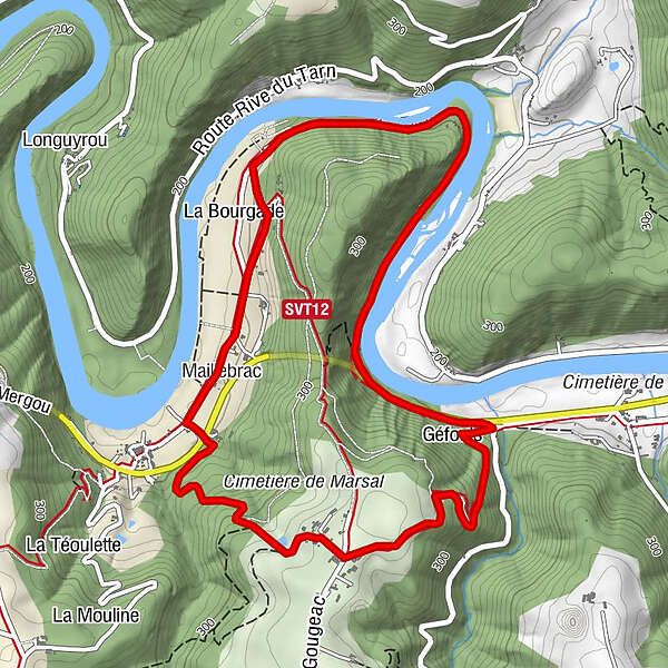
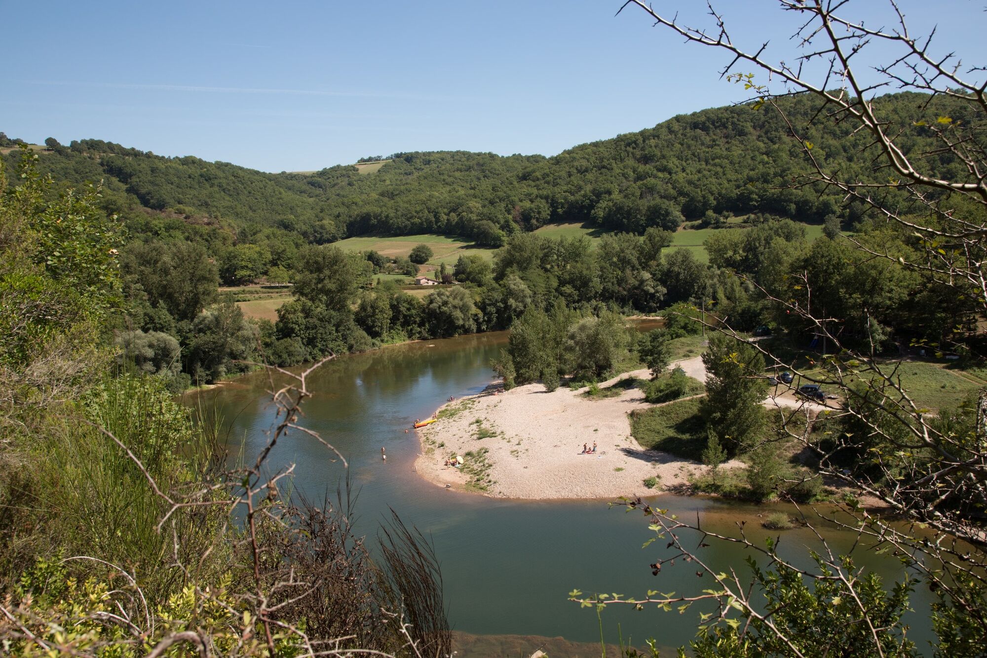
Following the left bank of the Tarn for 3 km, the Chemin de la Beaute (from the word "Veaute" or "voute") follows the meander around a wooded ridge overlooking the river by 150 to 200 metres.
- Stopień trudności
-
łatwe
- Ocena
-
- Trasa
-
Marsal0,1 kmMaillebrac0,3 kmLe Gougeac5,5 kmMarsal6,4 km
- Najlepszy sezon
-
stylutmarkwimajczelipsiewrzpaźlisgru
- Najwyższy punkt
- 357 m
- Miejsce docelowe
-
Bellegarde-Marsal
- Profil wysokości
-
 © outdooractive.com
- Autor
-
Wycieczka The meander of Marsal jest używany przez outdooractive.com pod warunkiem.
GPS Downloads


Więcej wycieczek w regionach
-
Tarn
331
-
L'albigeois
195