© Laurent Frézouls

© Pascale Walter

© Pascale Walter

- Krótki opis
-
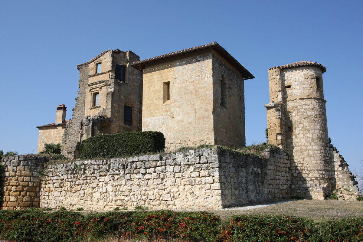
Cette boucle pour les sportifs, située dans le Lauragais en Pays de Cocagne (ouest du Tarn), permet aux cyclistes de découvrir le territoire qui a fait l'Histoire du Pastel jusqu'au 17ème siècle et qui témoigne encore des guerres de religions.
- Stopień trudności
-
łatwe
- Ocena
-
- Trasa
-
DamiatteSaint-Paul-Cap-de-Joux0,0 kmTeyssode7,3 kmLa remise10,3 kmEn gelis haut10,3 kmSaint-Germier10,3 kmLe petit pré10,6 kmÉglise Saint-Germier10,7 kmPratviel14,2 kmRoquevidal18,0 kmBois Noir21,0 kmBertre26,8 kmÉglise Saint-Michel27,4 kmÉglise Saint-Barthélemy30,5 kmLacroisille30,7 kmLe Rial32,8 kmLes Brugues34,2 kmCadix36,1 kmCuq-Toulza37,3 kmÉglise Notre-Dame37,6 kmAguts41,9 kmMontgey44,0 kmAuvezines45,7 kmSaint-Sernin-lès-Lavaur52,6 kmLe Non-Stop57,5 kmPuylaurens58,1 kmLe Puy de l'Oasis58,2 kmPrades67,5 kmDamiatte71,4 kmSaint-Paul-Cap-de-Joux71,7 km
- Najlepszy sezon
-
stylutmarkwimajczelipsiewrzpaźlisgru
- Najwyższy punkt
- 342 m
- Miejsce docelowe
-
Saint-Paul-Cap-de-Joux
- Profil wysokości
-
 © outdooractive.com

- Autor
-
Wycieczka Circuit Vélo - C14 La route du pastel jest używany przez outdooractive.com pod warunkiem.