Dane wycieczki
7,46km
705
- 1.078m
358hm
334hm
03:00h
- Stopień trudności
-
średni
- Ocena
-
- Punkt wyjścia
-
Feuerwehrhaus Moosgraben
- Trasa
-
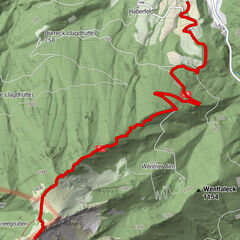
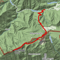
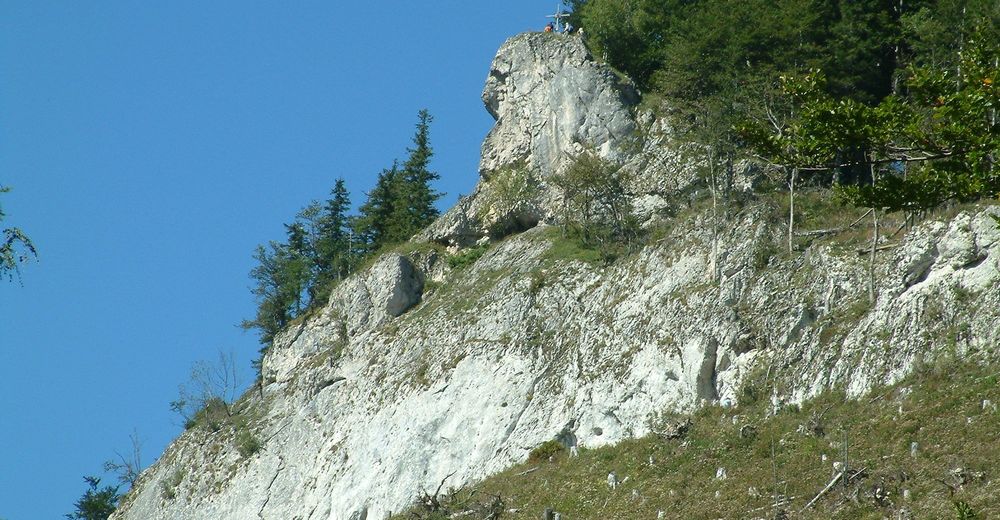
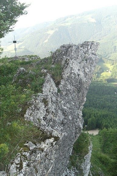
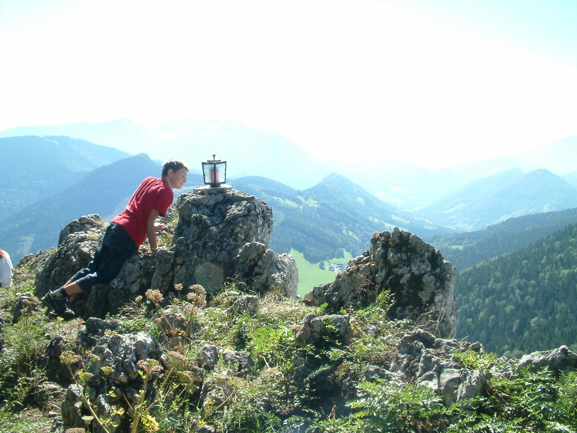
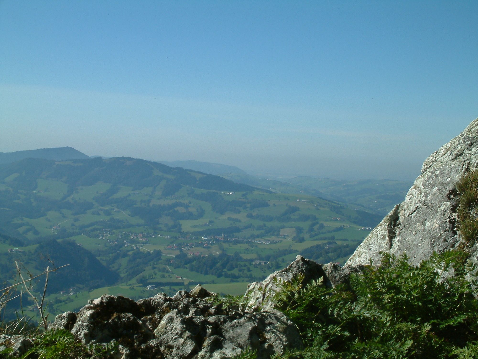
Gschnaidtsteiner kapelle1,1 kmLindaumauer (1.103 m)3,5 kmLindauerhöhle3,5 kmHeuriger Zöttl - Hochramskogler5,0 kmGschnaidtsteiner kapelle6,2 km
- Najlepszy sezon
-
stylutmarkwimajczelipsiewrzpaźlisgru
- Najwyższy punkt
- 1.078 m
- Odpoczynek/Odosobnienie
-
Jausenstation Hochramskogl
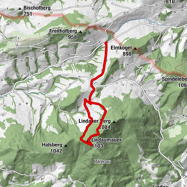
- Mapy
-
Gemeinde


GPS Downloads


Warunki na szlaku
Asfalt
Żwir
Łąka
Las
Skała
Wyeksponowany
Więcej wycieczek w regionach
-
Traunviertel
1940
-
Moststraße
754
-
Maria Neustift
333