
© Nationalpark Kalkalpen - <a href="http://www.kalkalpen.at">Nationalpark Kalkalpen</a>


© Nationalpark Kalkalpen - <a href="http://www.kalkalpen.at">Nationalpark Kalkalpen</a>


- Krótki opis
-
EXPERIENCE WORLD HERITAGE!
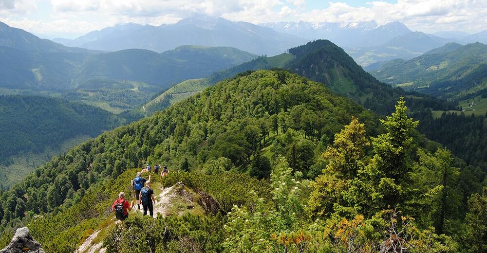
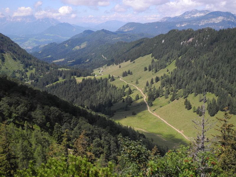
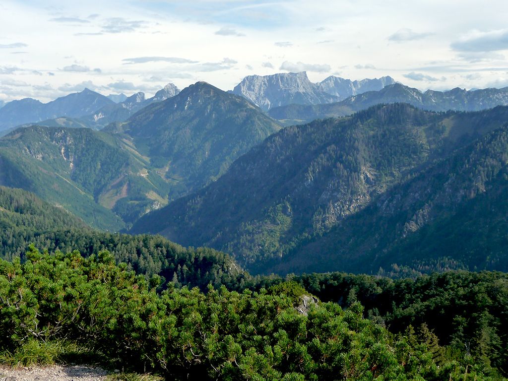
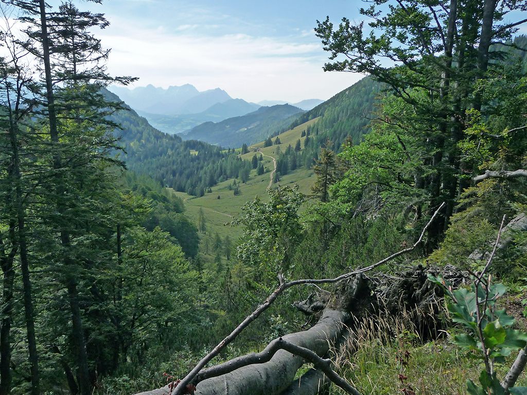
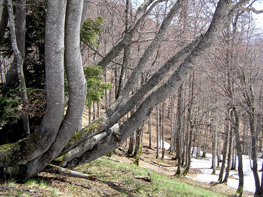
A hike on the Wasserklotz promises a great view into the wooded Reichraminger Hintergebirge, to the Haller Mauern and to the summits of the Gesäuse National Park.
For the round trip you should calculate about 4 hours walking time.
Difficulty level: Intermediate, surefootedness and a head for heights necessary shortly before the Wasserklotz summit
- Stopień trudności
-
średni
- Ocena
-
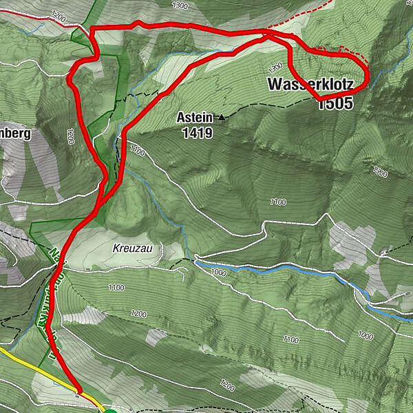
- Trasa
-
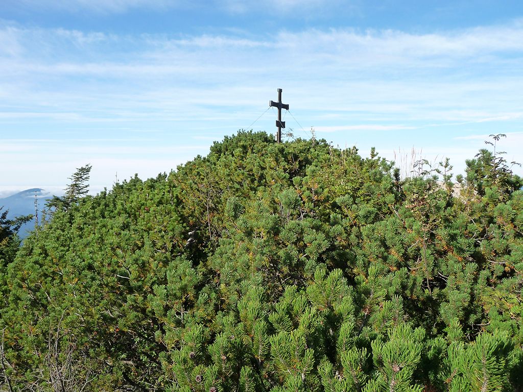
ZickerreithWasserklotz (1.505 m)4,5 kmZickerreith8,4 km
- Najlepszy sezon
-
stylutmarkwimajczelipsiewrzpaźlisgru
- Najwyższy punkt
- 1.494 m
- Miejsce docelowe
-
4581 Rosenau am Hengstpaß, Parking Zickerreith
- Profil wysokości
-


- Autor
-
Wycieczka Hike to the Wasserklotz from Hengstpaß jest używany przez outdooractive.com pod warunkiem.
GPS Downloads


Informacje ogólne
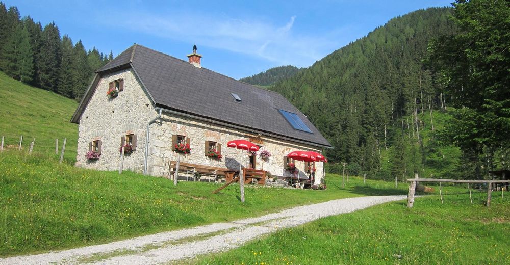
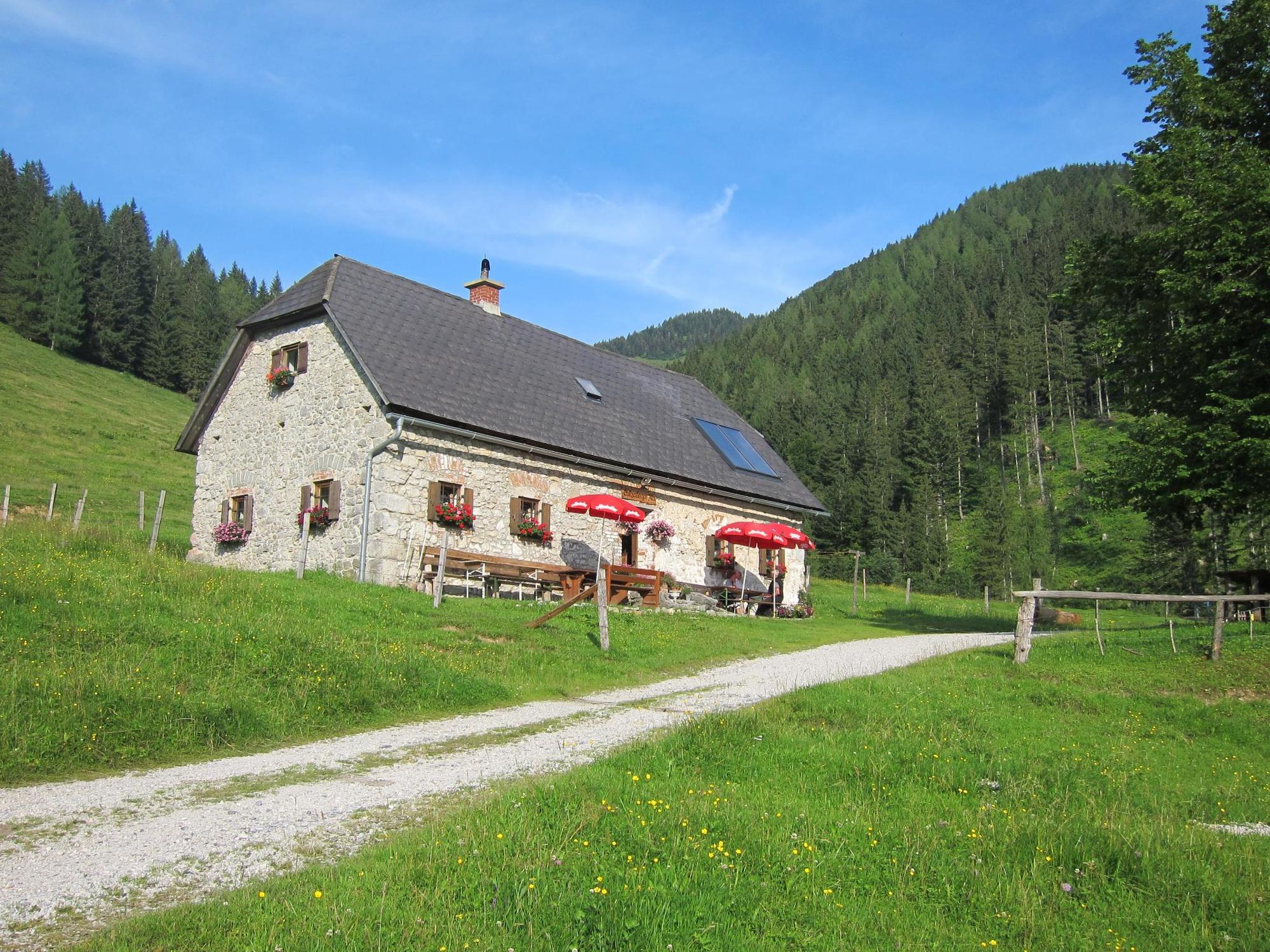
Przystanek odświeżania
Flora
Obiecujący
Więcej wycieczek w regionach
-
Gesäuse
2225
-
Steyr und die Nationalpark Region
1371
-
Rosenau am Hengstpaß
428


