© Tourismusverband Steyr Nationalpark Region - Gemeinde Dietach

© Tourismusverband Steyr Nationalpark Region - Gemeinde Dietach

- Krótki opis
-
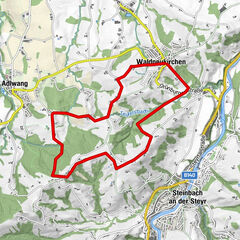
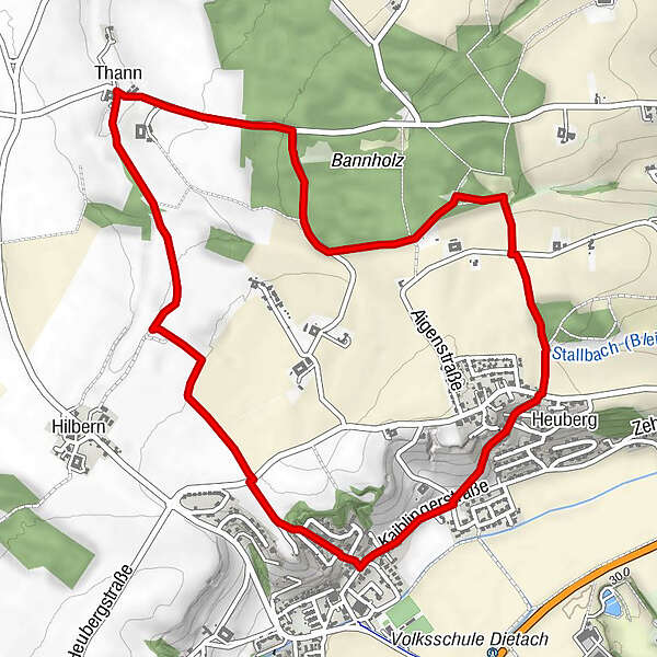
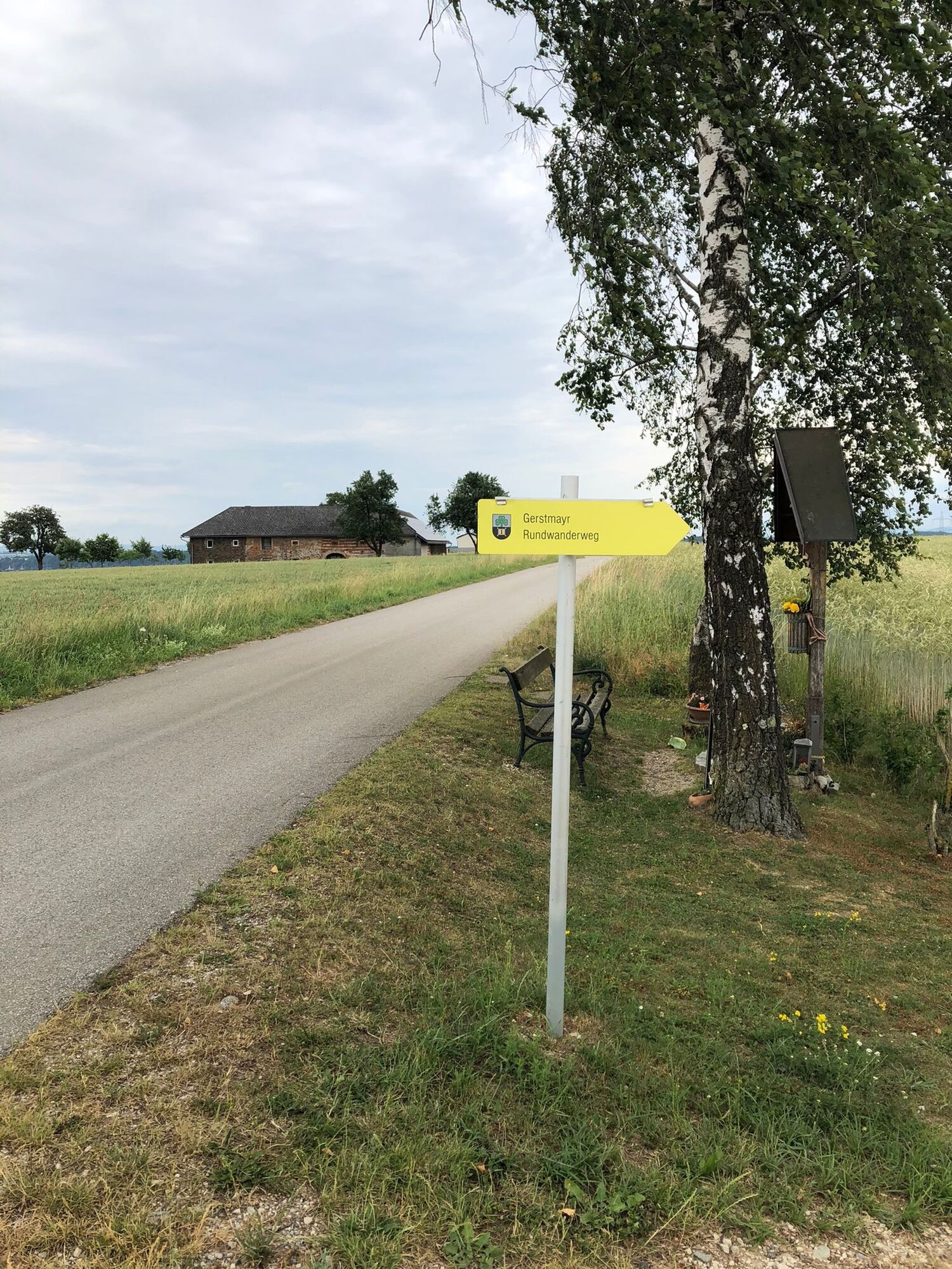
Circular trail between meadows and fields and along and through the forest with great views at Leitnerberg
- Stopień trudności
-
łatwe
- Ocena
-
- Trasa
-
DietachThann2,1 kmWirt in der Thann2,3 kmHeuberg5,1 kmDietach6,2 km
- Najlepszy sezon
-
stylutmarkwimajczelipsiewrzpaźlisgru
- Najwyższy punkt
- 368 m
- Miejsce docelowe
-
Dietach/Kaiblingerstraße-Pfarrberg
- Profil wysokości
-


- Autor
-
Wycieczka Circular Trail Gerstmayr jest używany przez outdooractive.com pod warunkiem.
GPS Downloads


Informacje ogólne
Przystanek odświeżania
Więcej wycieczek w regionach
-
Traunviertel
1942
-
Tourismusregion Bad Hall
772
-
Dietach
113