© Marktgemeinde Natternbach - IKUNA

- Krótki opis
-
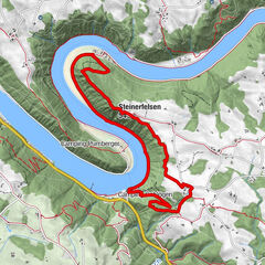
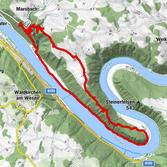
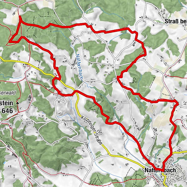
From Natternbach to the Virgin`s Rock natural landmark and Natternbach - source, then via several villages back to the starting point
- Stopień trudności
-
średni
- Ocena
-
- Trasa
-
Natternbach (434 m)Püret2,6 kmKreuz3,3 kmPfeneberg3,7 kmZiernau4,2 kmUntereck4,3 kmEck5,2 kmHochfilz5,9 kmHochholding7,3 kmWirt in Tal9,5 kmTal9,8 kmOberhörzing11,3 kmMoos11,8 kmKapping13,1 kmReiting14,2 kmWeibing14,8 kmNatternbach (434 m)17,1 km
- Najlepszy sezon
-
stylutmarkwimajczelipsiewrzpaźlisgru
- Najwyższy punkt
- 628 m
- Miejsce docelowe
-
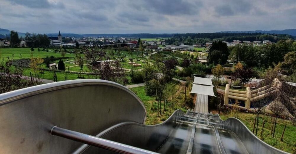
At the info point in the Natternbach sports and leisure center
- Profil wysokości
-

- Autor
-
Wycieczka Indian path jest używany przez outdooractive.com pod warunkiem.
GPS Downloads


Informacje ogólne
Przystanek odświeżania
Kulturalny/Historyczny
Obiecujący
Więcej wycieczek w regionach
-
Hausruckviertel
1483
-
Vitalwelt Bad Schallerbach
368
-
Natternbach
127