© Radler-Rast - Mag. Brigitte Pamperl

© Radler-Rast - Mag. Brigitte Pamperl

© Radler-Rast - Mag. Brigitte Pamperl

© Radler-Rast - Mag. Brigitte Pamperl

© Radler-Rast - Mag. Brigitte Pamperl

© Radler-Rast - Mag. Brigitte Pamperl

© Radler-Rast - Mag. Brigitte Pamperl

© Radler-Rast - Mag. Brigitte Pamperl

© Radler-Rast - Mag. Brigitte Pamperl

© Radler-Rast - Mag. Brigitte Pamperl

- Krótki opis
-
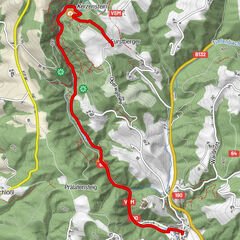
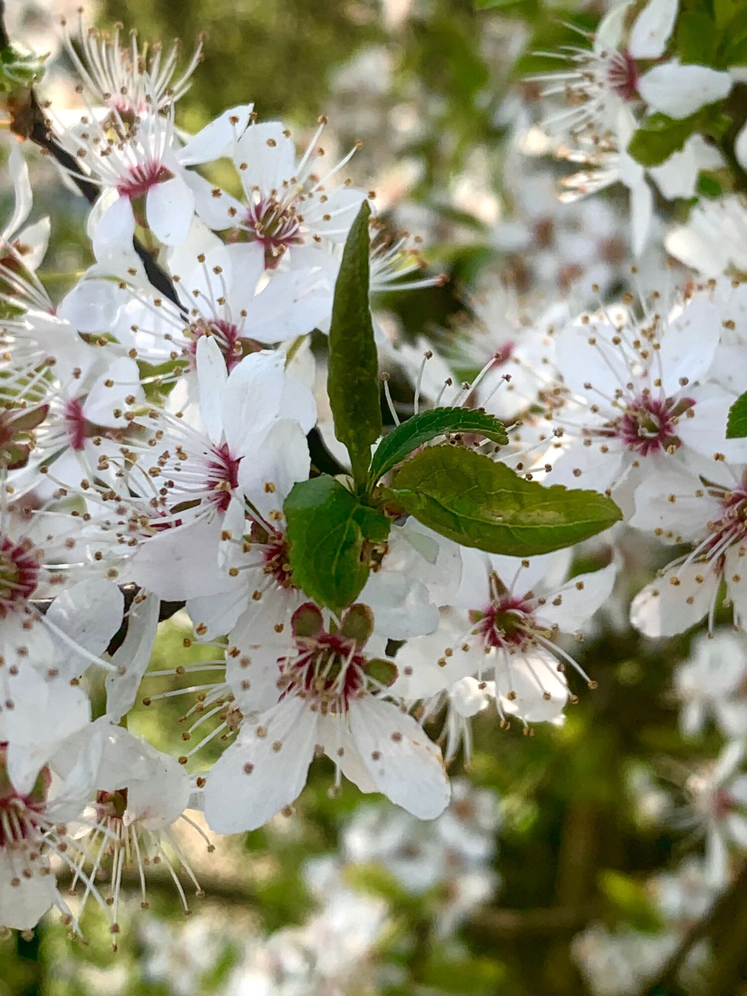
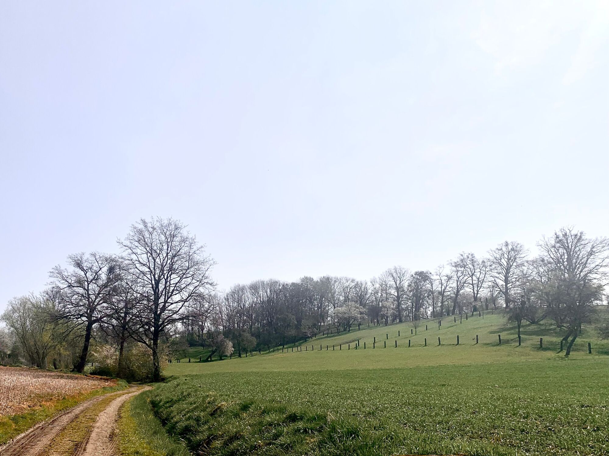
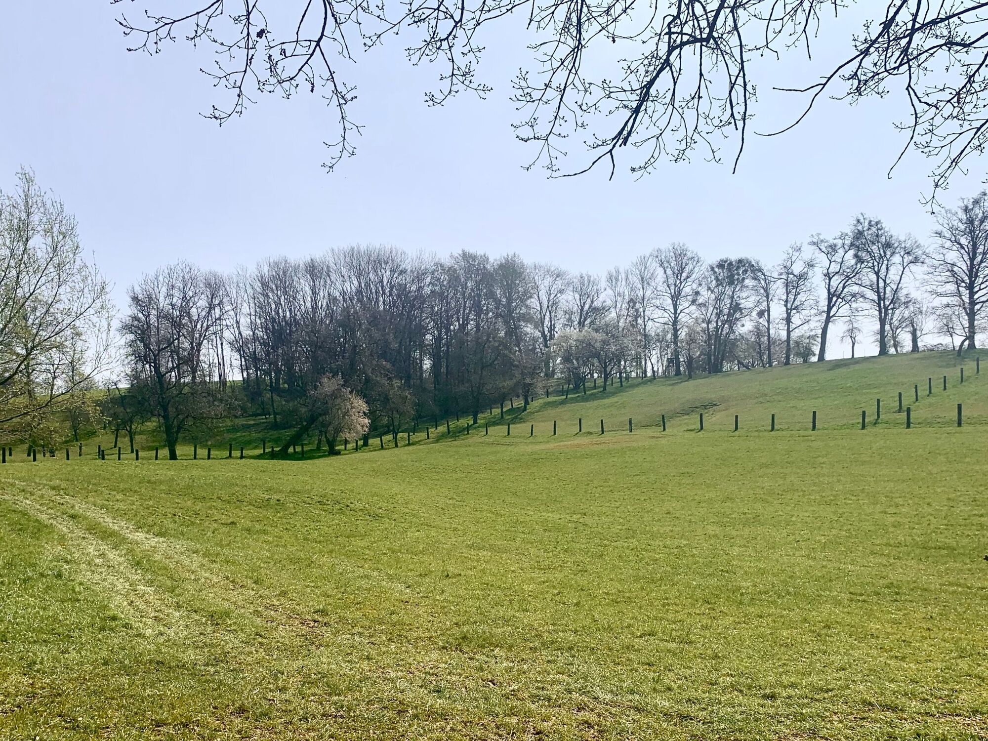
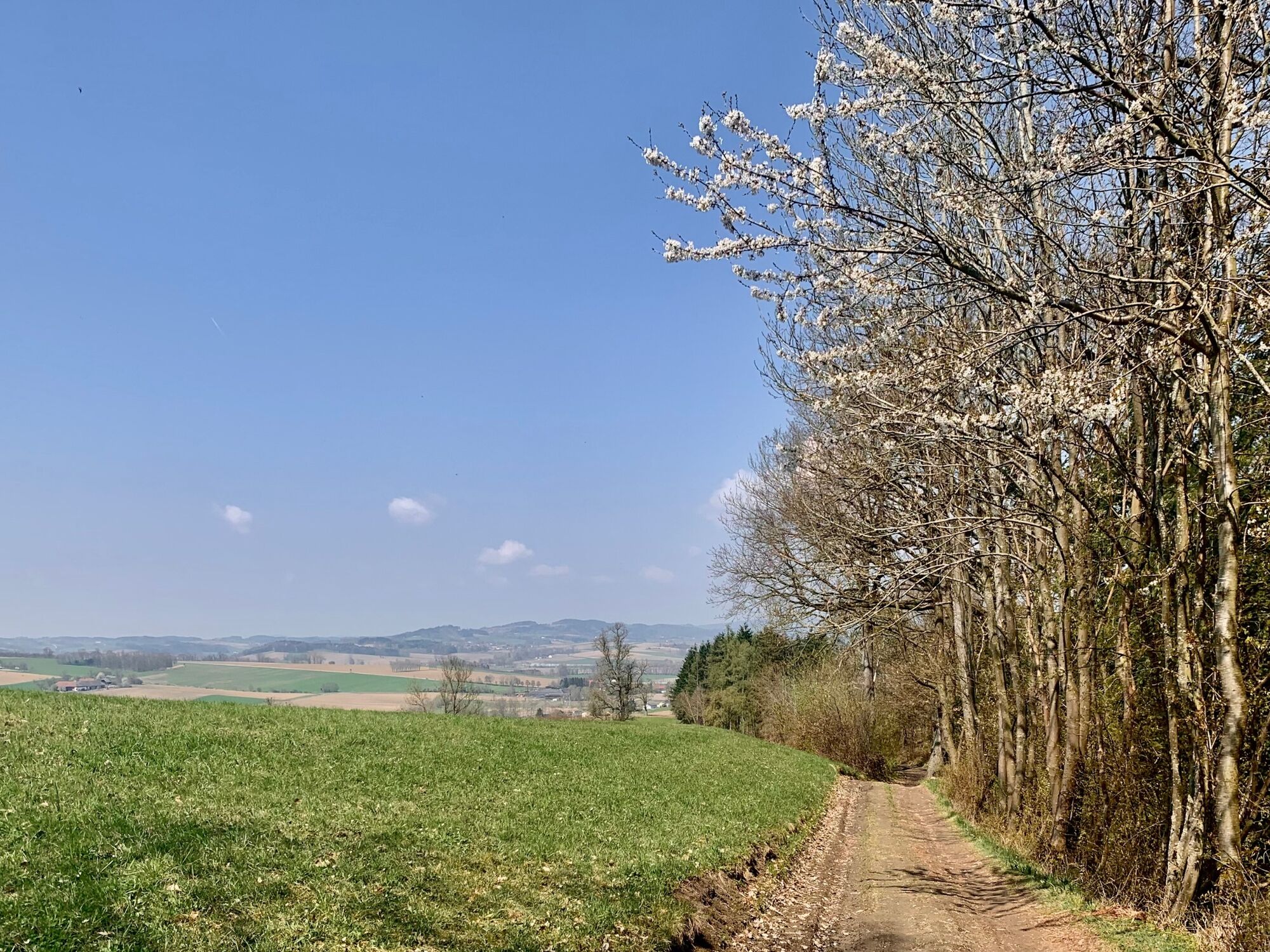
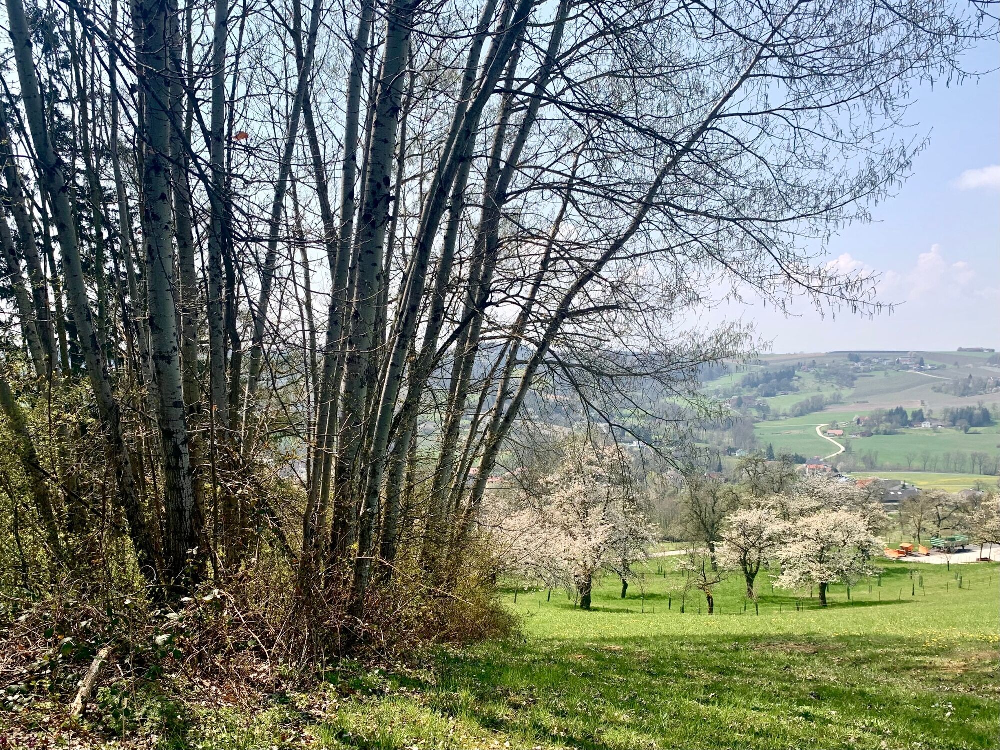
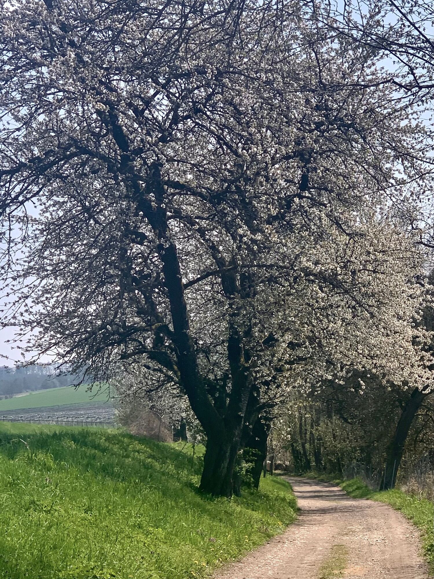
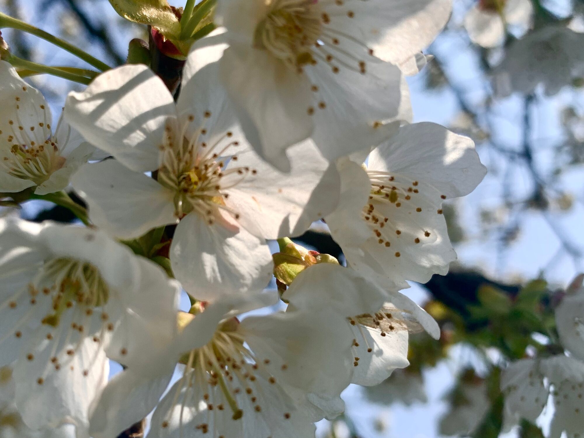
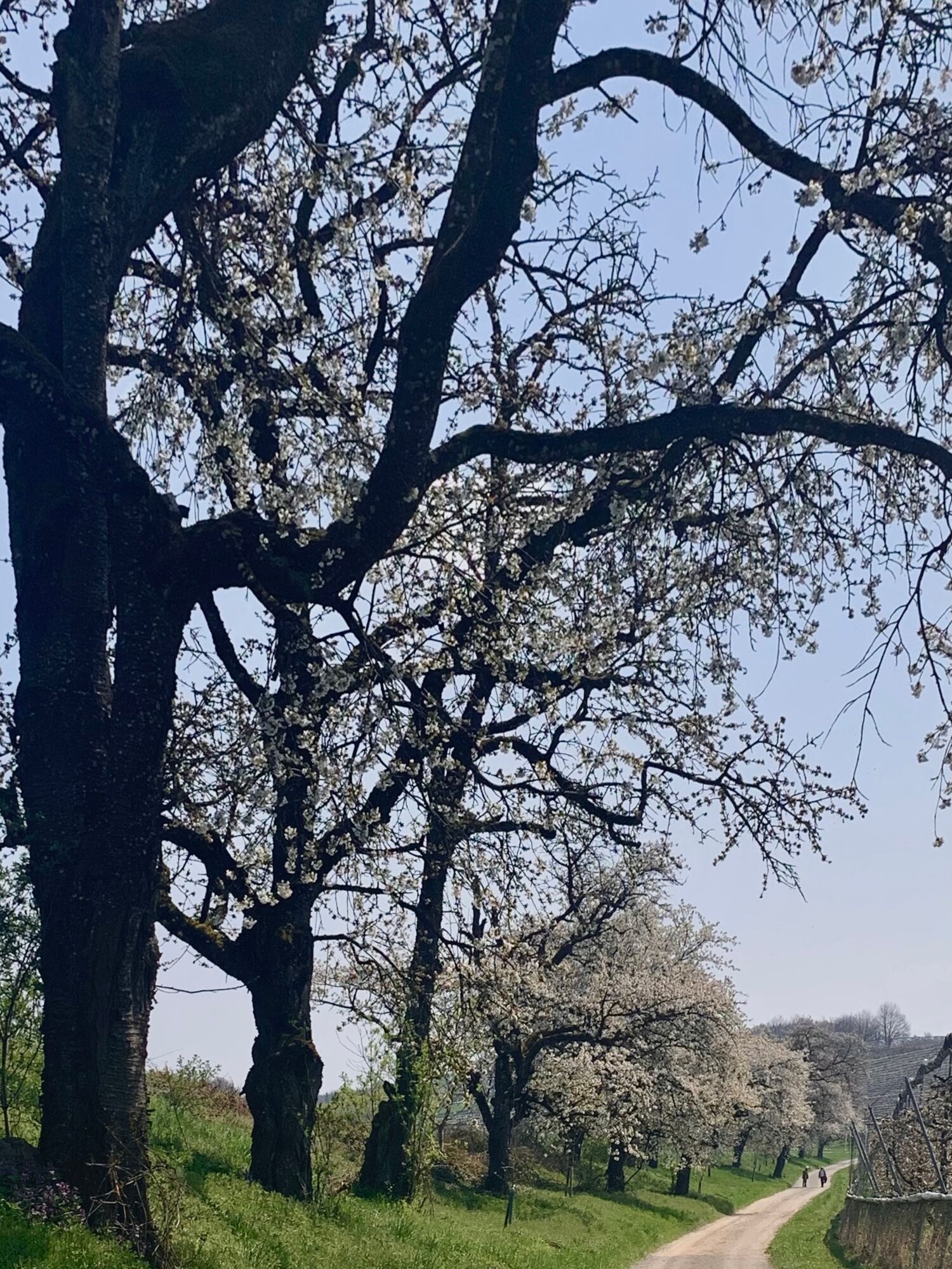
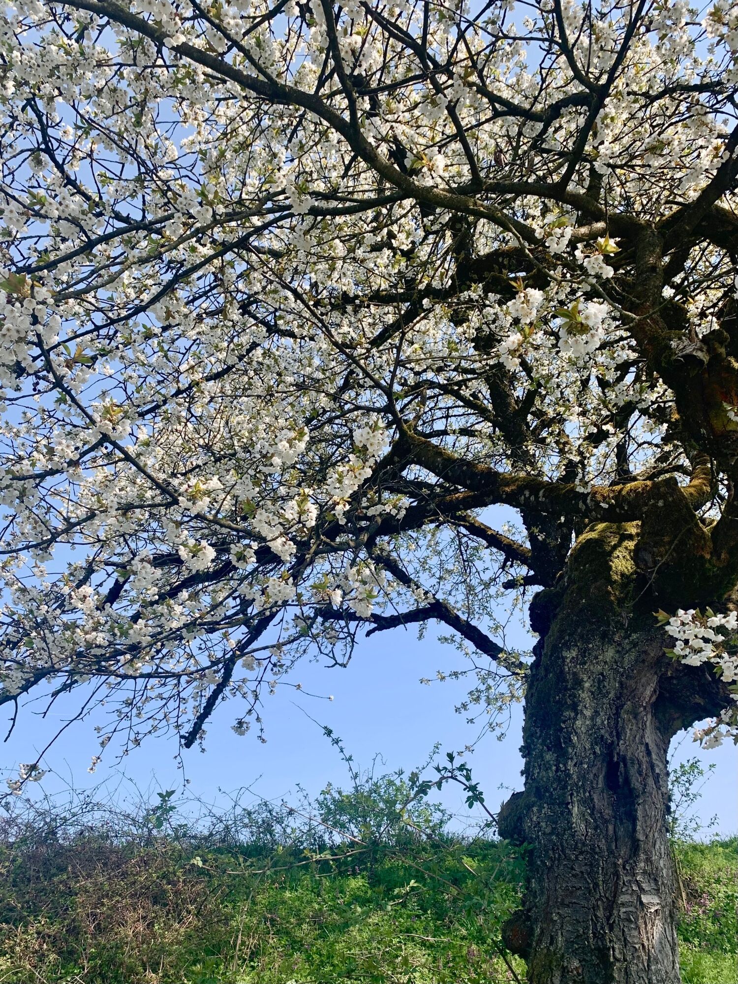
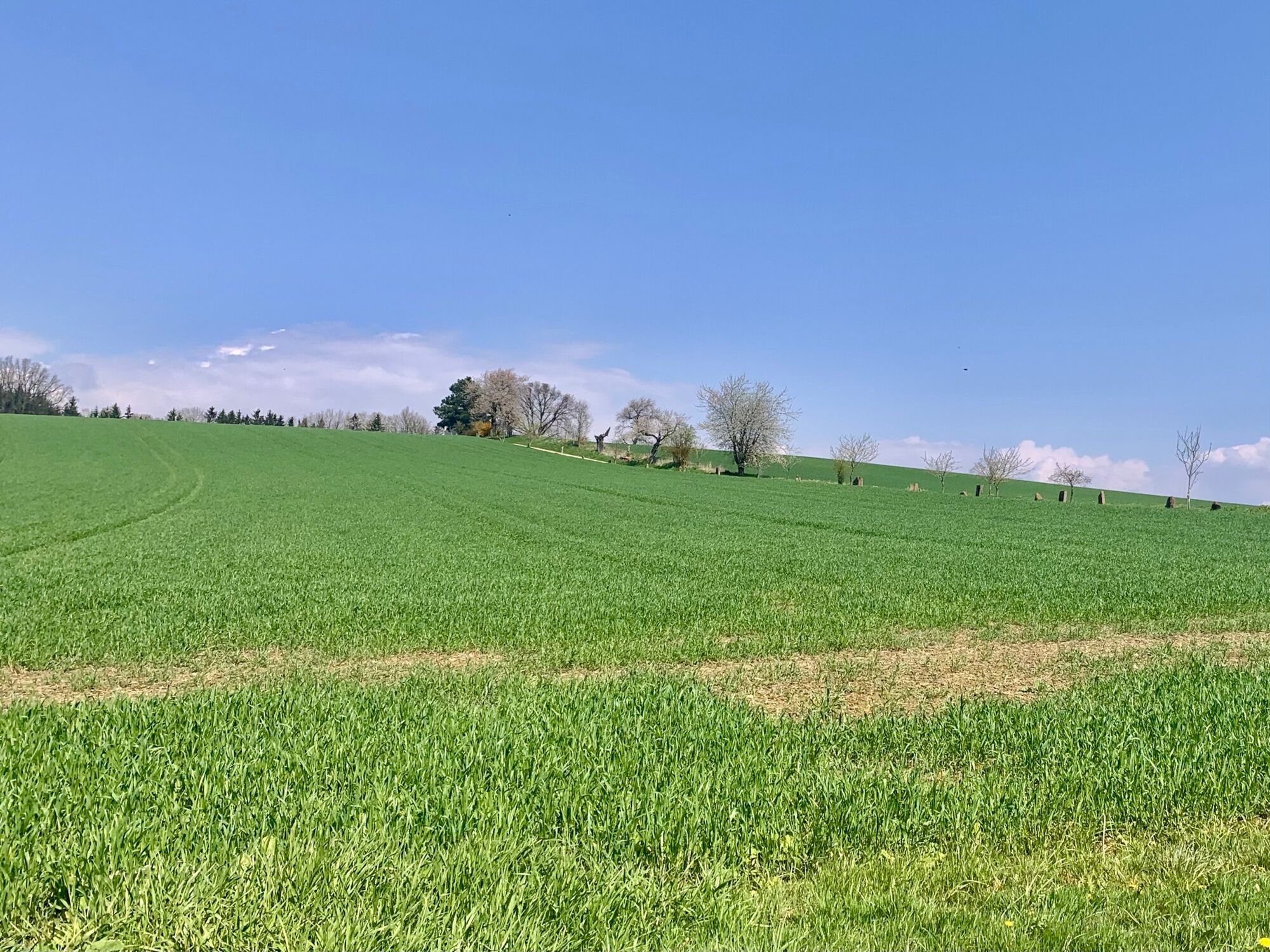
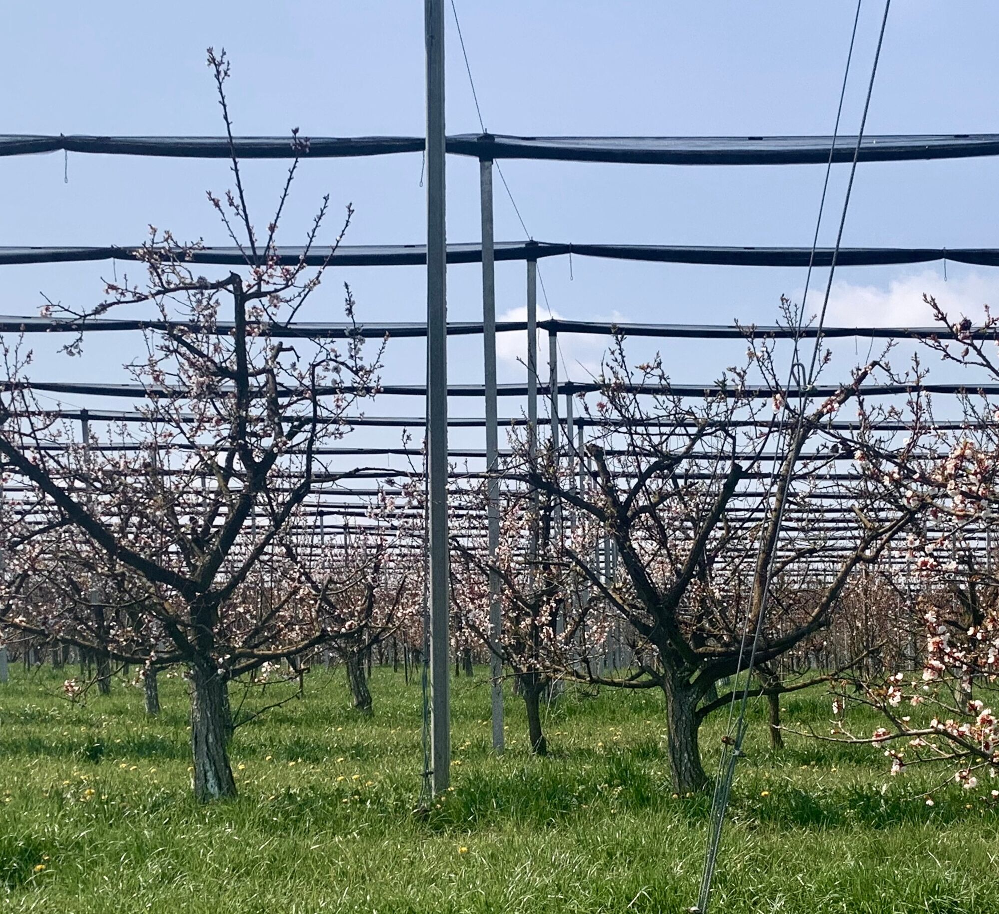
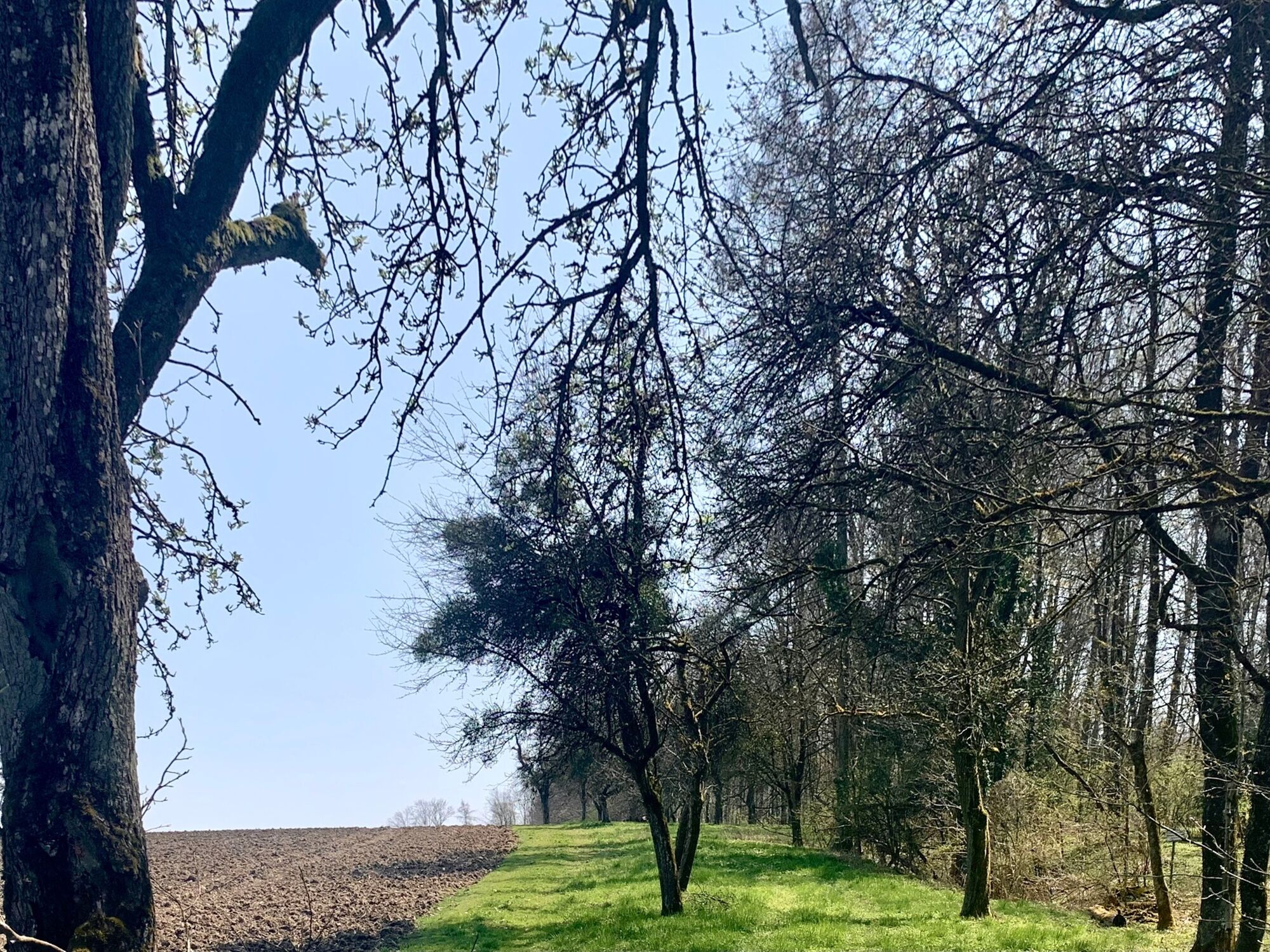
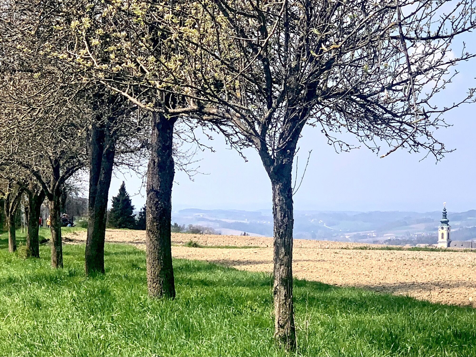
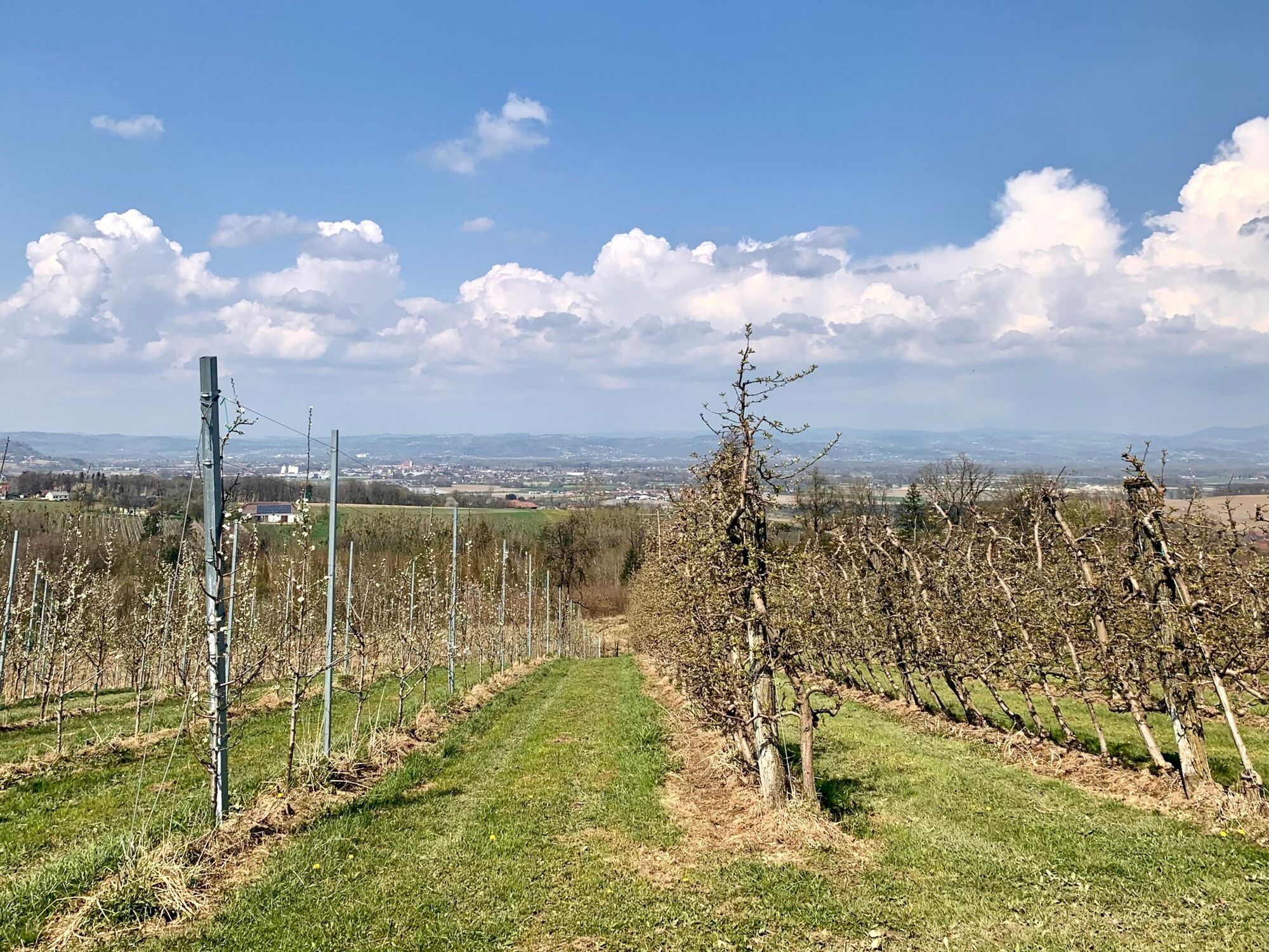
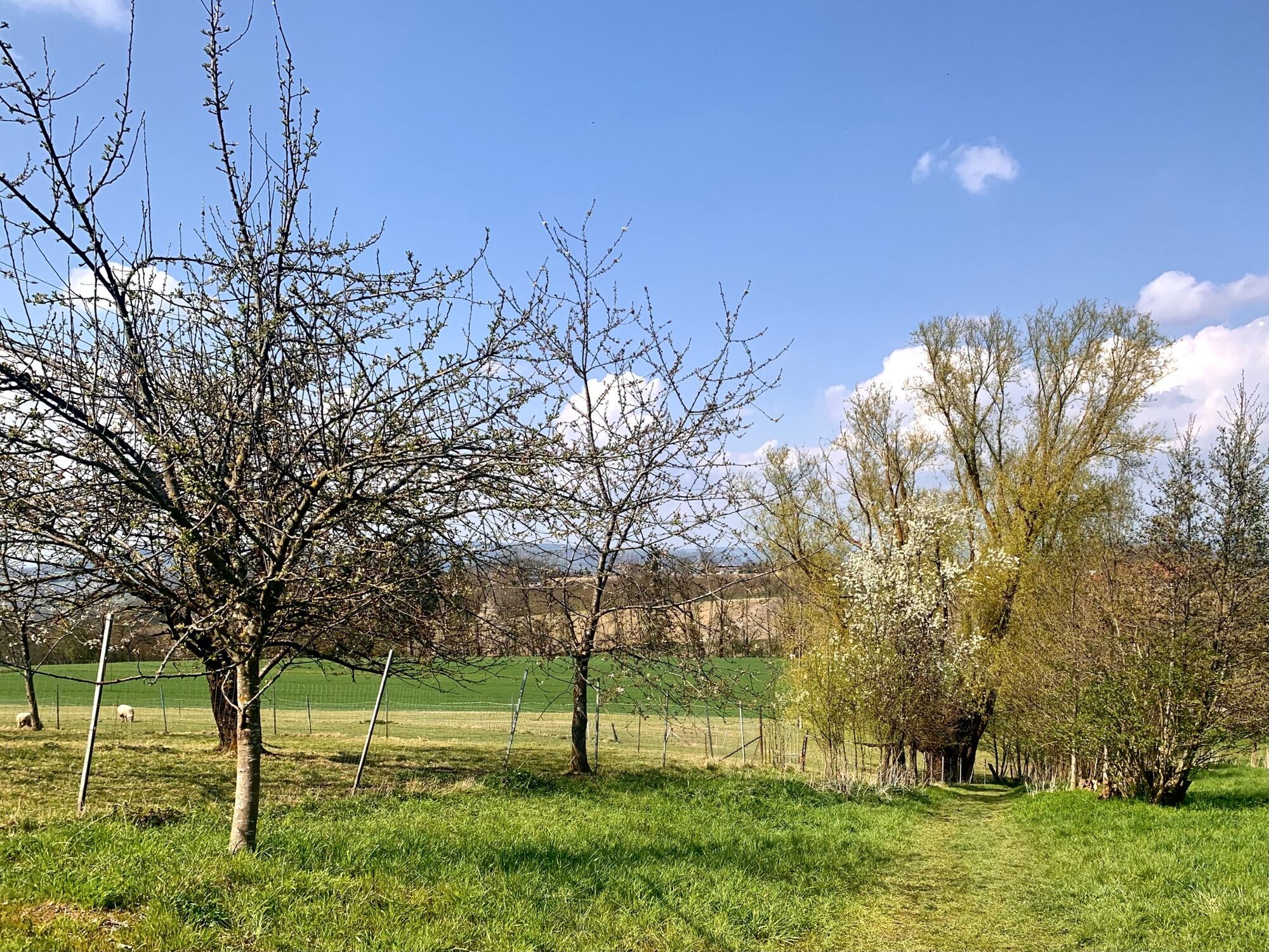
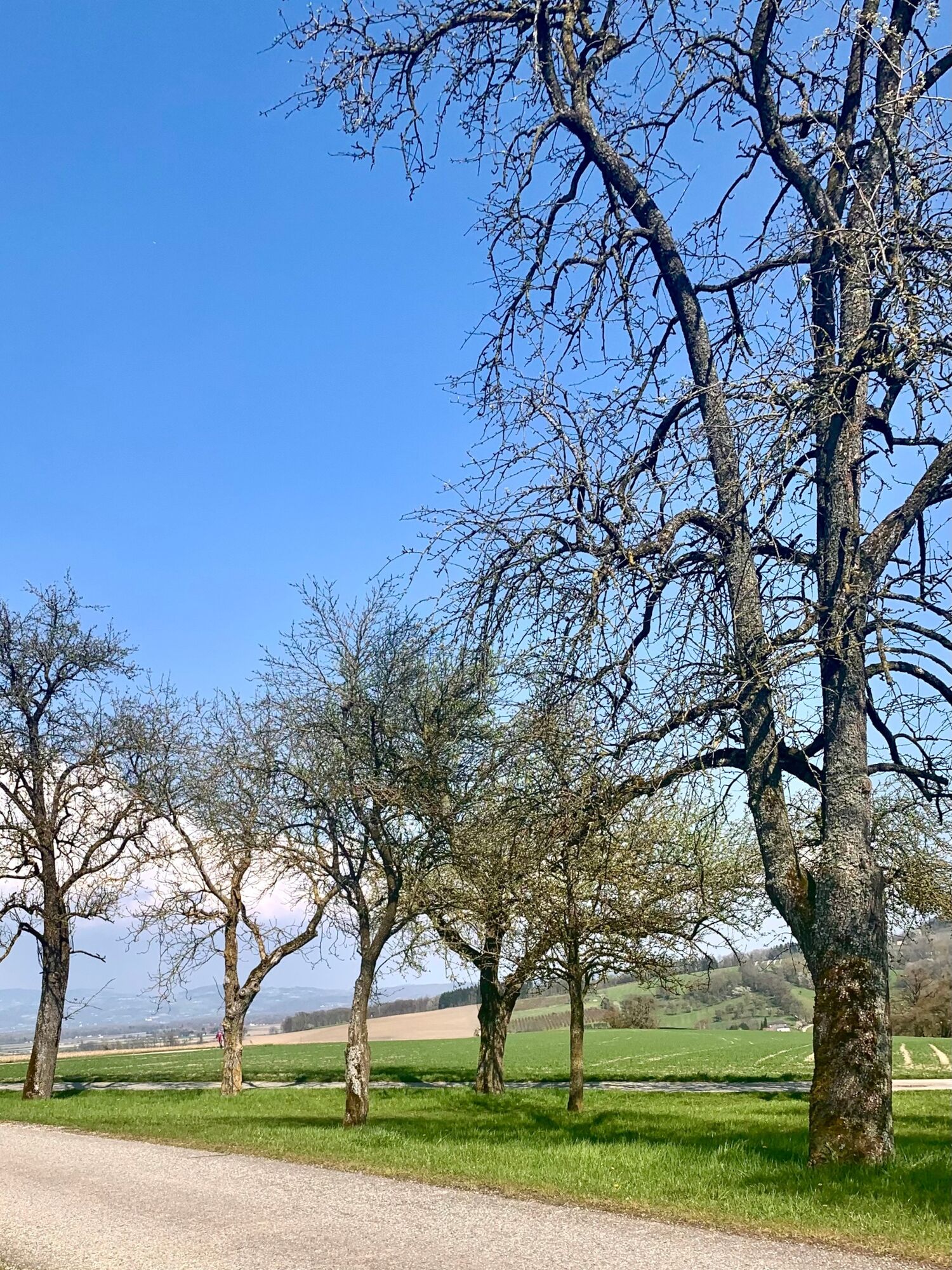
The Kirschbütenwanderweg in Scharten is a circular hiking trail that leads around the localities of the municipality of Scharten, past blooming cherry trees at the height of the Schartner hill country.
- Stopień trudności
-
średni
- Ocena
-
- Trasa
-
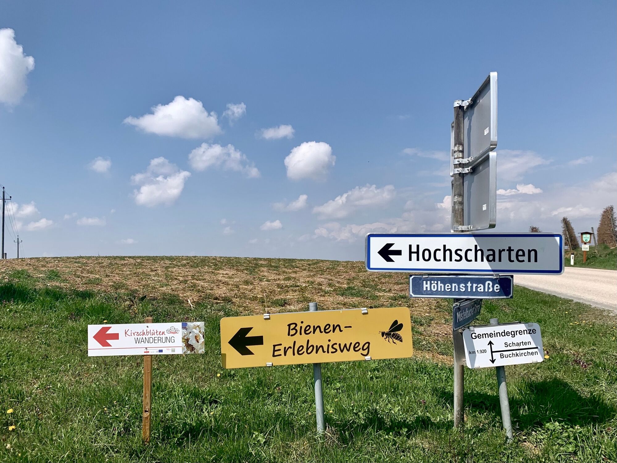
Jausenstation BeißlHerrnholz0,0 kmLeppersdorf1,3 kmWolfsgrub6,0 kmHochscharten7,5 kmGasthof Schartnerblick8,5 kmKronberg8,5 kmJausenstation Beißl11,3 kmHerrnholz11,3 km
- Najlepszy sezon
-
stylutmarkwimajczelipsiewrzpaźlisgru
- Najwyższy punkt
- 445 m
- Miejsce docelowe
-
Beißl snack station, Herrnholz 17, 4612 Scharten
- Profil wysokości
-


-
-
AutorWycieczka Cherry blossom hike in Scharten jest używany przez outdooractive.com pod warunkiem.
Wszystkie recenzje
Karl felber
13. Apr. 2024
Kirschblüten Wanderung in Scharten
GPS Downloads


Informacje ogólne
Przystanek odświeżania
Flora
Więcej wycieczek w regionach
-
Hausruckviertel
1483
-
Donau Oberösterreich
775
-
Scharten
102