Tour: Schlögen-Linz-Schlögen Cycle Route| Pleasure & chill on the Danube Cycle Path

Jazda na rowerze
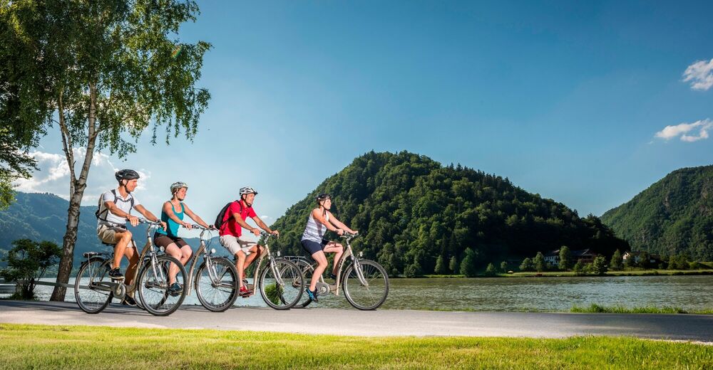
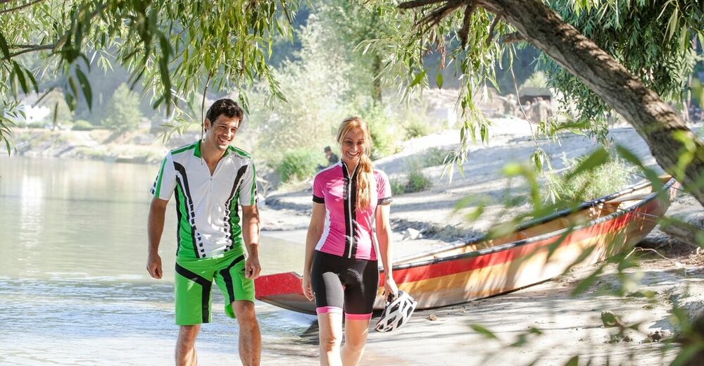
© WGD Donau Oberösterreich Tourismus GmbH/Hochhauser - Beate Kepplinger
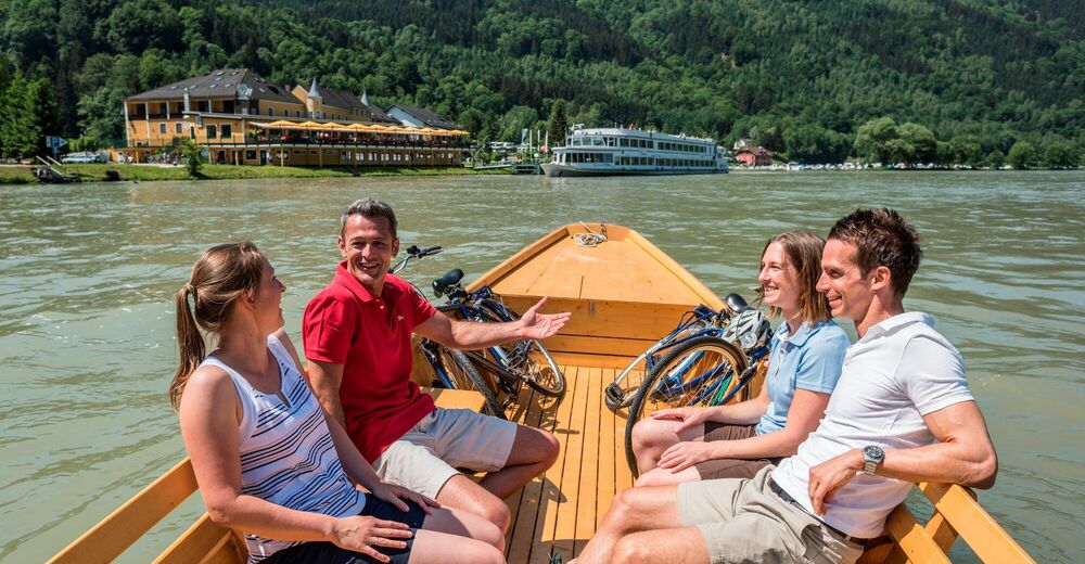
© WGD Donau Oberösterreich Tourismus GmbH/Hochhauser
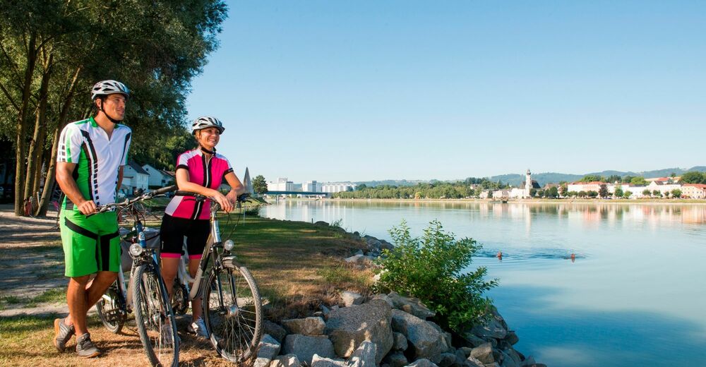
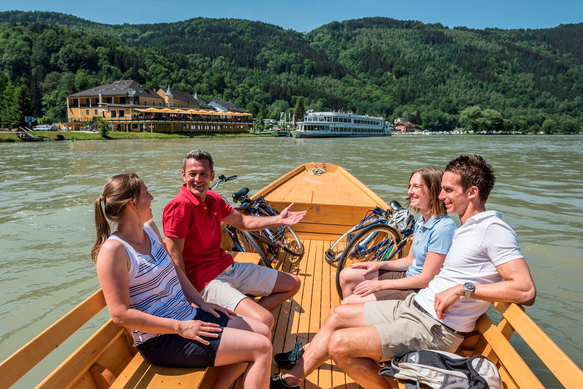
© Oberösterreich Tourismus GmbH/Erber - Beate Kepplinger
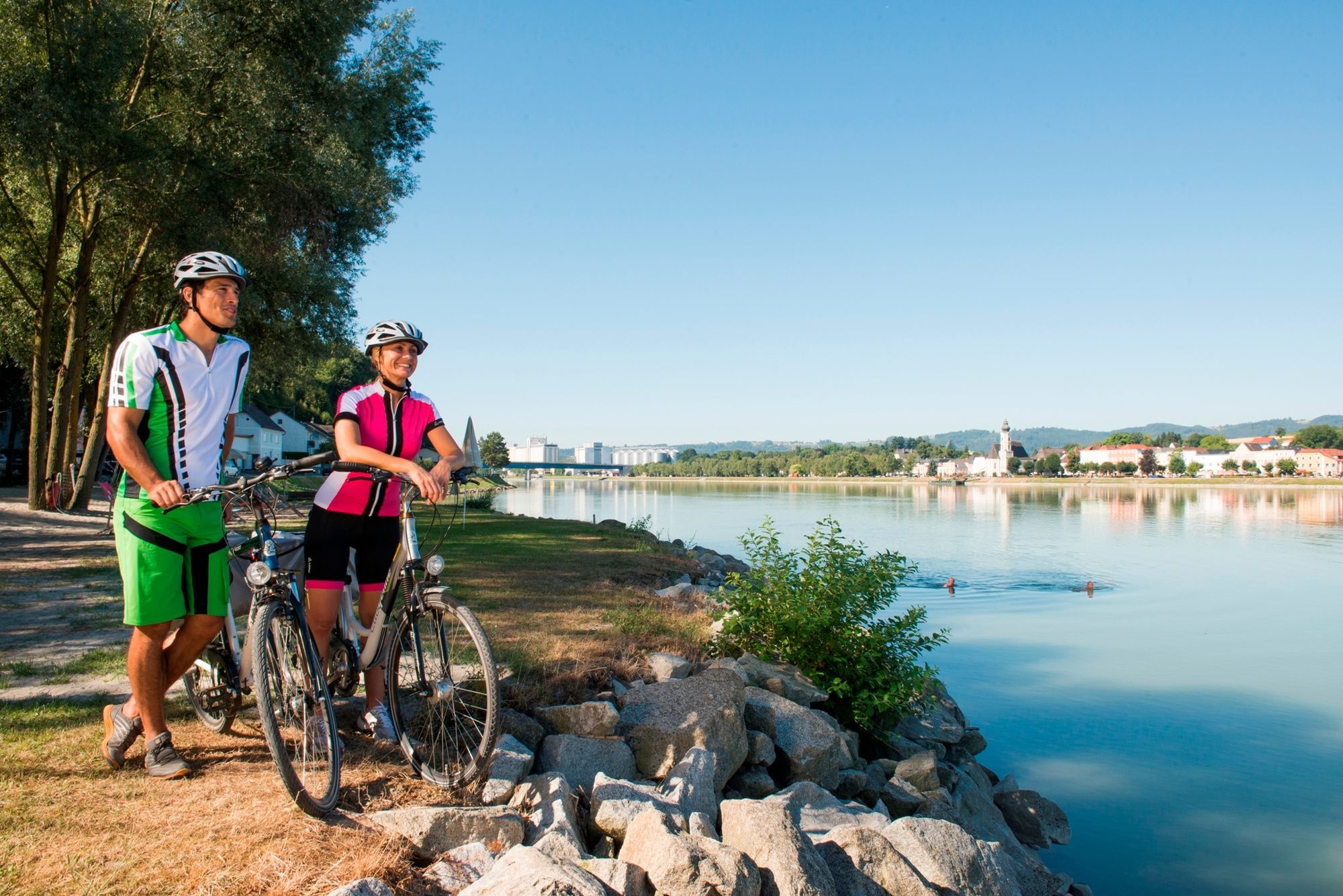
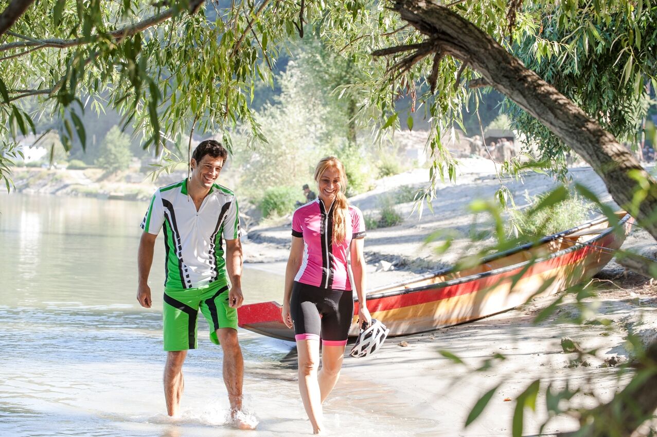
© Oberösterreich Tourismus GmbH/Erber - Beate Kepplinger

- Krótki opis
-
From the natural wonder Schlögener Schlinge (Danube loop) to the modern cultural capital Linz.
- Stopień trudności
-
łatwe
- Ocena
-
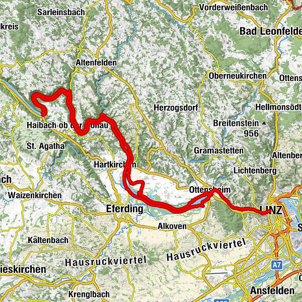
- Trasa
-
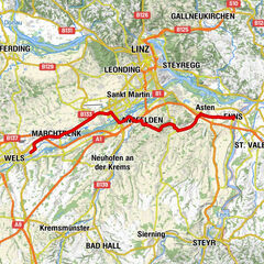
SchlögenInzell3,8 kmKobling8,9 kmSommerberg24,4 kmAschach an der Donau26,4 kmBrandstatt29,1 kmSchiffsanlegestelle29,2 kmLandgasthaus Dieplinger29,4 kmGasthaus und Café Lackner29,4 kmSchiffanlegestelle29,6 kmFall40,8 kmWilhering Ufer42,9 kmOttensheimer Drahtseilbrücke43,3 kmOttensheim43,4 kmDonaubus43,5 kmGasthaus Dürnberg44,7 kmPuchenau West48,0 kmIL MARE Restaurant49,0 kmPuchenau49,5 kmSankt Andreas49,5 kmUrfahrwänd51,0 kmAlt-Urfahr52,6 kmDonaubus Anlegestelle52,9 kmLinz (266 m)53,0 kmNikolaikapelle53,0 kmUrfahrwänd54,4 kmPuchenau56,4 kmSankt Andreas56,5 kmIL MARE Restaurant57,1 kmPuchenau West57,5 kmGasthaus Dürnberg61,2 kmDonaubus62,5 kmOttensheim62,7 kmRegatta64,3 kmWeidet75,2 kmFeldkirchen an der Donau76,4 kmUnterlandshaag79,7 kmOberlandshaag80,6 kmBremsberg87,6 kmSchiffsanlegestelle Untermühl89,1 kmGasthof Ernst89,1 kmUntermühl89,4 kmPoint90,0 kmExlau92,1 kmGasthof in der Exlau92,6 kmRastplatz97,2 kmSchiffsanlegestelle99,3 kmFischgasthaus Aumüller99,4 kmFilialkirche Obermühl an der Donau99,4 kmObermühl an der Donau99,5 kmDonauparadies Gasthof Gierlinger100,3 kmGrafenau103,4 kmInzell105,0 kmAu108,3 kmSchlögen109,3 km
- Najlepszy sezon
-
stylutmarkwimajczelipsiewrzpaźlisgru
- Najwyższy punkt
- 308 m
- Miejsce docelowe
-
Schlögen
- Profil wysokości
-


- Autor
-
Wycieczka Tour: Schlögen-Linz-Schlögen Cycle Route| Pleasure & chill on the Danube Cycle Path jest używany przez outdooractive.com pod warunkiem.
GPS Downloads


Więcej wycieczek w regionach