© Velontour - Dein genussvoller Radurlaub - © Andreas Röbl
© Unbekannt - © Erwin Haiden
© Velontour - Dein genussvoller Radurlaub - © Erwin Haiden
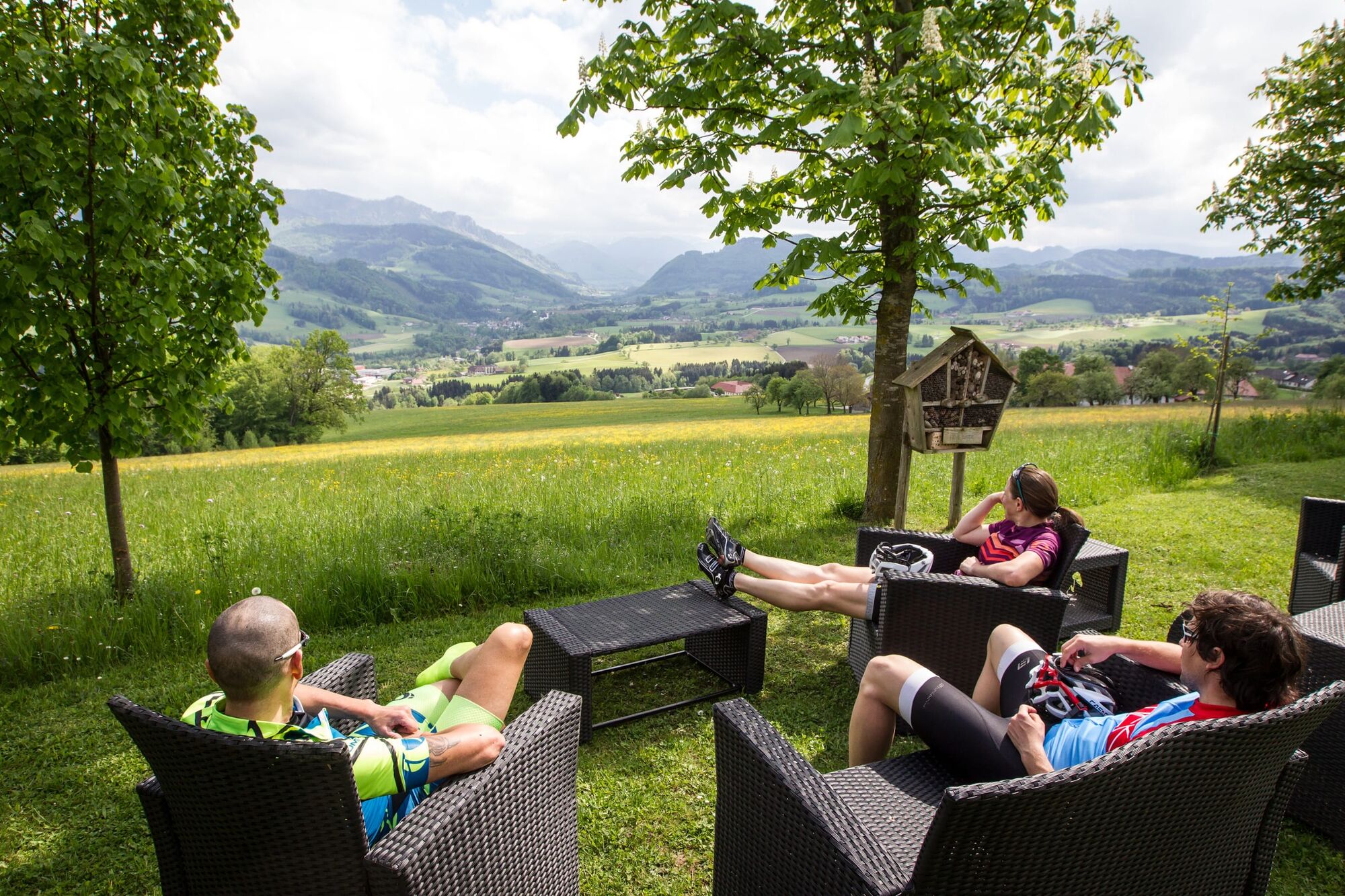
© Velontour - Dein genussvoller Radurlaub - © Horst Bachofner
© Velontour - Dein genussvoller Radurlaub - © Horst Bachofner
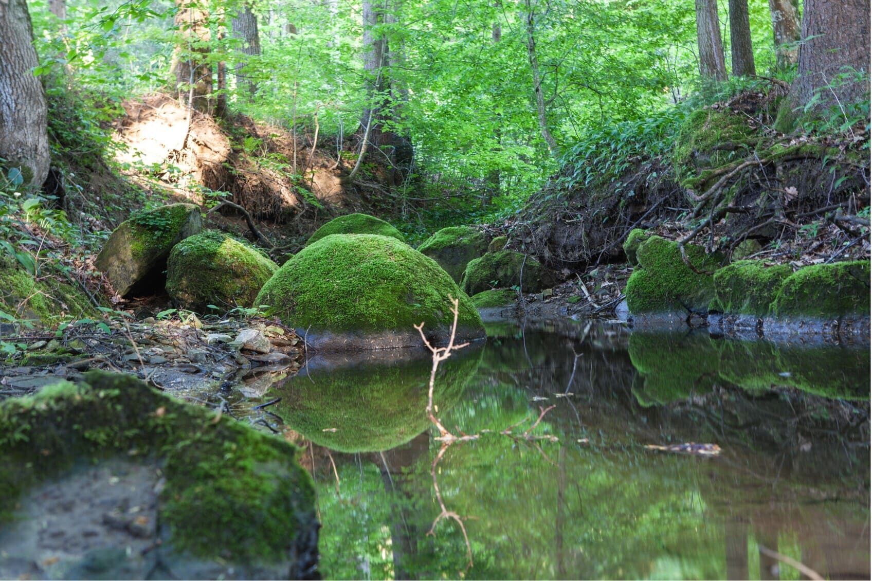
© Velontour - Dein genussvoller Radurlaub - © Erwin Haiden
© Velontour - Dein genussvoller Radurlaub - © Erwin Haiden
© Velontour - Dein genussvoller Radurlaub - © Horst Bachofner
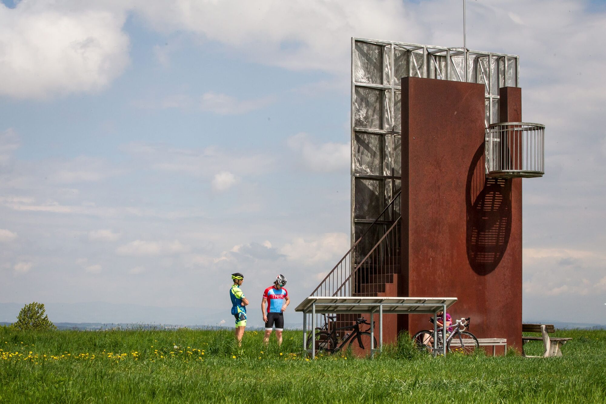
© Velontour - Dein genussvoller Radurlaub - © TVB Bad Hall

- Krótki opis
-
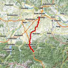
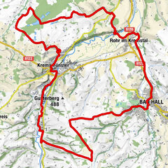
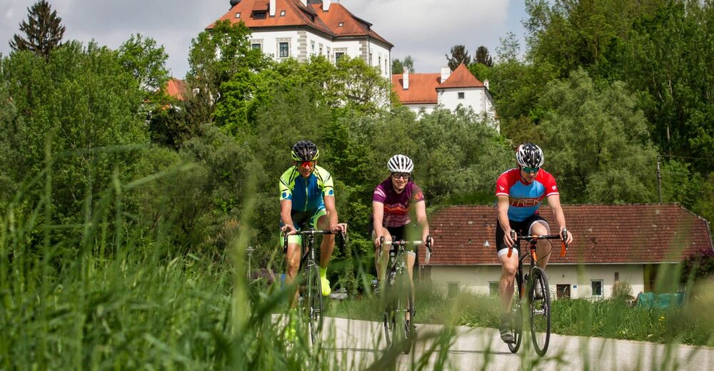
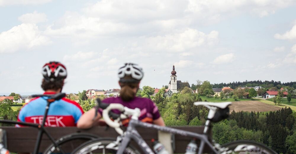
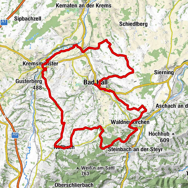
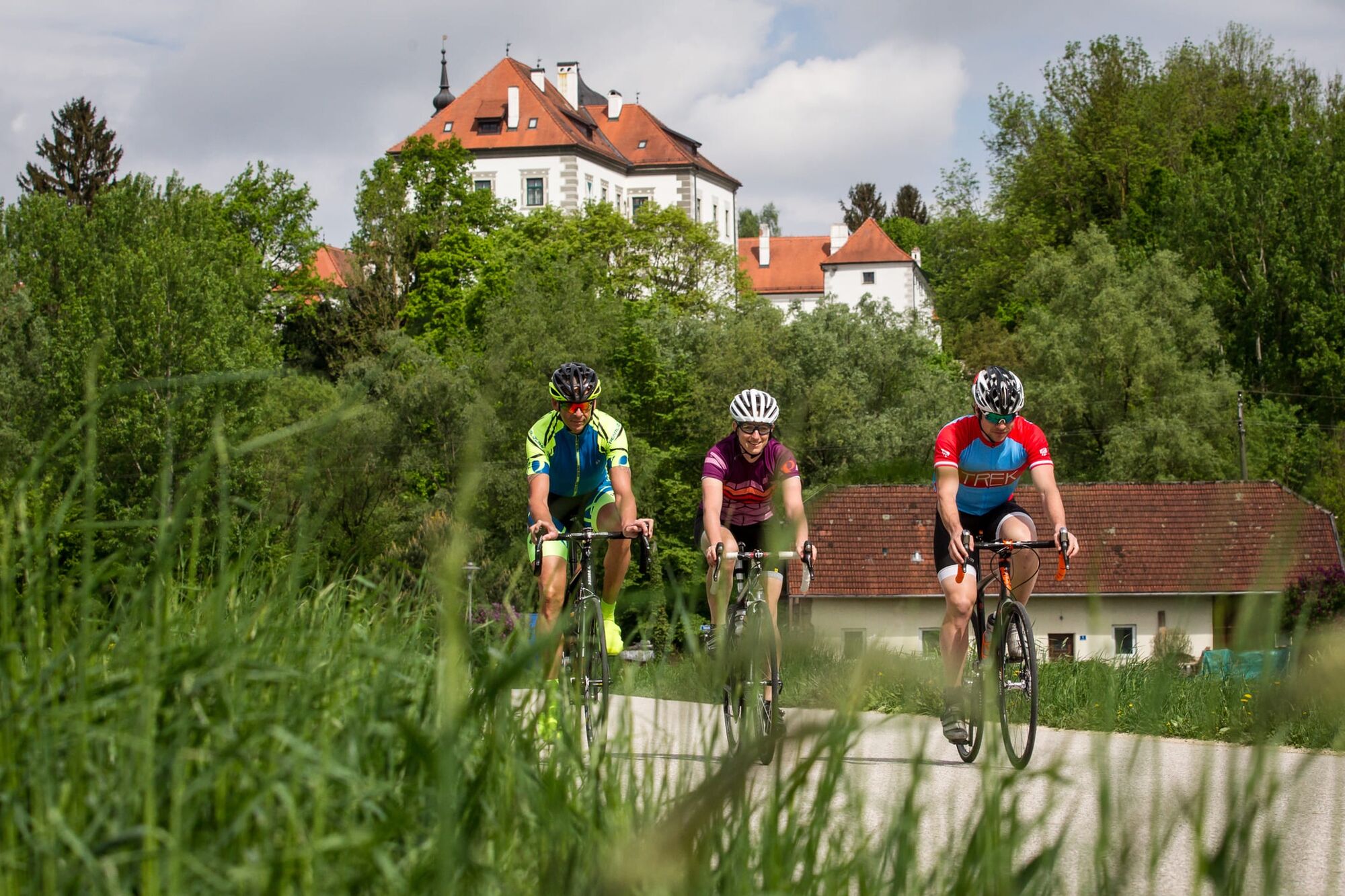
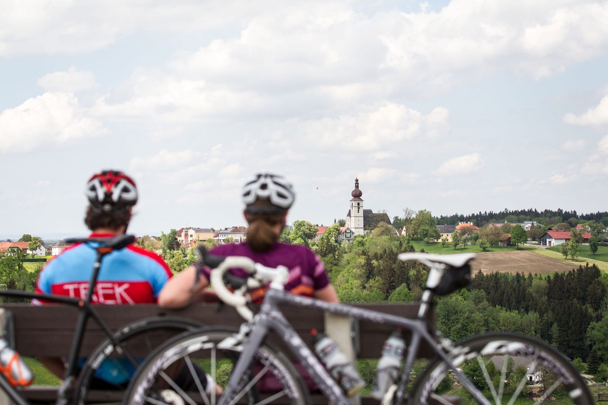
This about 53 km long round trip leads from Bad Hall over a climb to Steinersdorf and Waldneukirchen. The tour continues to the Hallerwald and Adlwang. Then it goes via Kremsmünster back to the starting point.
- Stopień trudności
-
łatwe
- Ocena
-
- Trasa
-
Bad Hall0,1 kmSteingrub2,7 kmSteinersdorf6,1 kmKapelle9,1 kmKapelle9,6 kmWaldneukirchen9,8 kmDorftaverne9,8 kmGasthaus Hohe Linde13,1 kmSankt Nikola13,8 kmAussichtsplatz Steyrtalblick15,5 kmNikolauskapelle17,6 kmKulinarium18,8 kmAdlwang18,9 kmMandorf21,1 kmPfarrkirche Nußbach24,8 kmNußbach25,0 kmGenuss Schmied'n26,1 kmGöritz26,1 kmFranziskus Kapelle33,2 kmGusterberg (488 m)34,3 kmKremsmünster37,0 kmAu38,3 kmRohr im Kremstal42,7 kmKrottendorf47,1 kmMengersdorf51,5 kmWeinheuriger Blumenhof52,4 kmGroßmengersdorf52,5 kmJausenstation Eisenhuber53,7 kmFurtmühle54,9 kmBad Hall56,5 km
- Najlepszy sezon
-
stylutmarkwimajczelipsiewrzpaźlisgru
- Najwyższy punkt
- 551 m
- Miejsce docelowe
-
Bad Hall, Eduard-Bach-Straße (Forum Hall)
- Profil wysokości
-


-

-
AutorWycieczka Sporting panorama jest używany przez outdooractive.com pod warunkiem.
GPS Downloads


Informacje ogólne
Przystanek odświeżania
Obiecujący
Więcej wycieczek w regionach
-
Traunviertel
135
-
Tourismusregion Bad Hall
83
-
Bad Hall
53