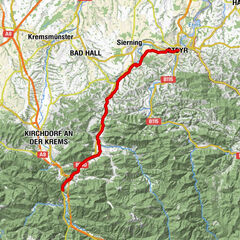
Steyr - Spital am Pyhrn | Steyrtalradweg R8 & Nationalpark Kalkalpenradweg R31

Jazda na rowerze

© Stefan Mayerhofer

© Tman - T-Man

© Jack Haijes

© Jack Haijes

© Jack Haijes

© Jack Haijes - T-Man

© OEGG

© Berthold Schatzl

- Krótki opis
-
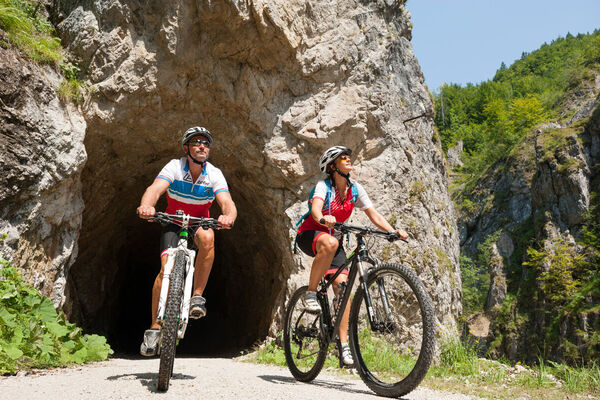
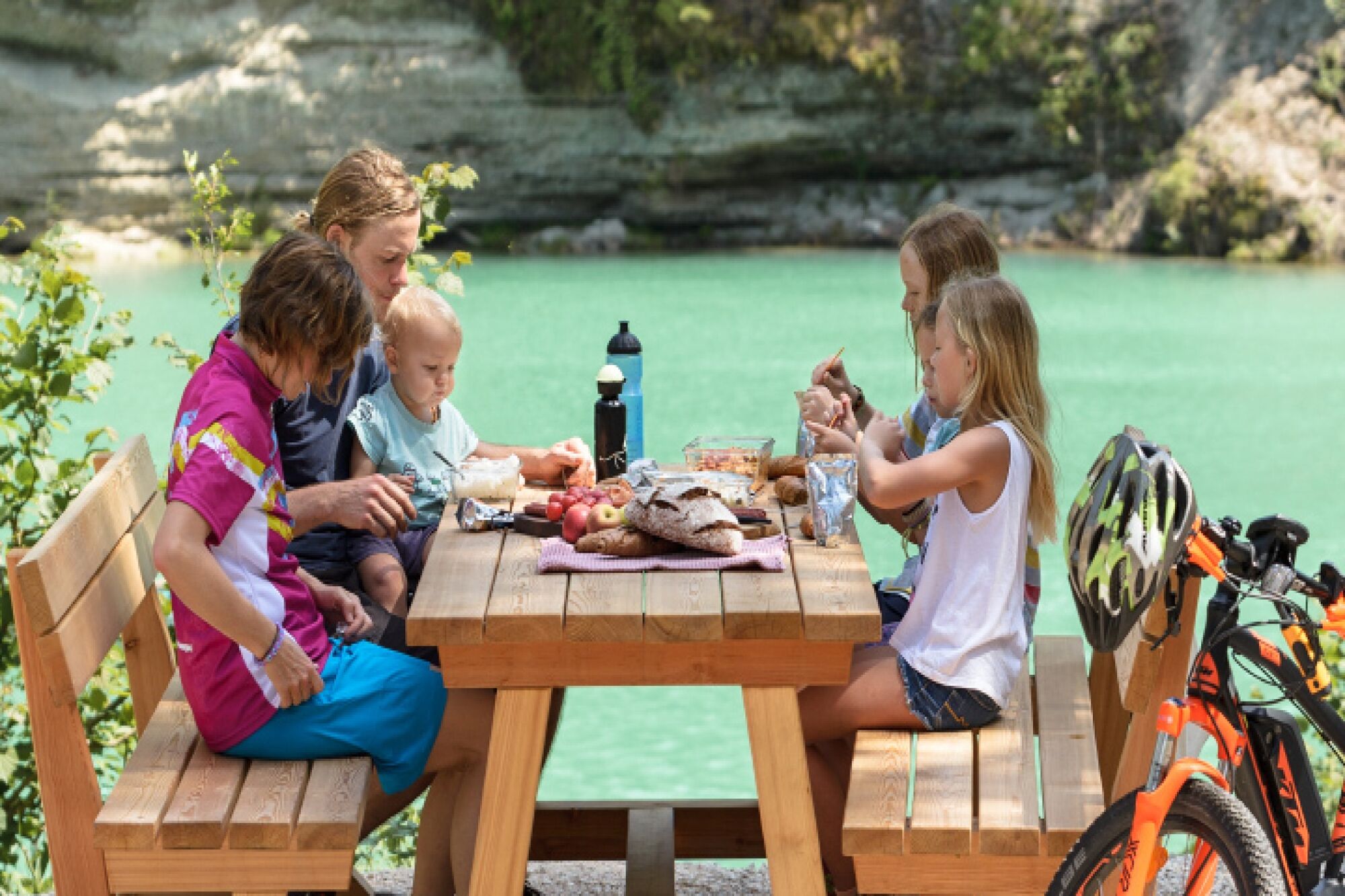
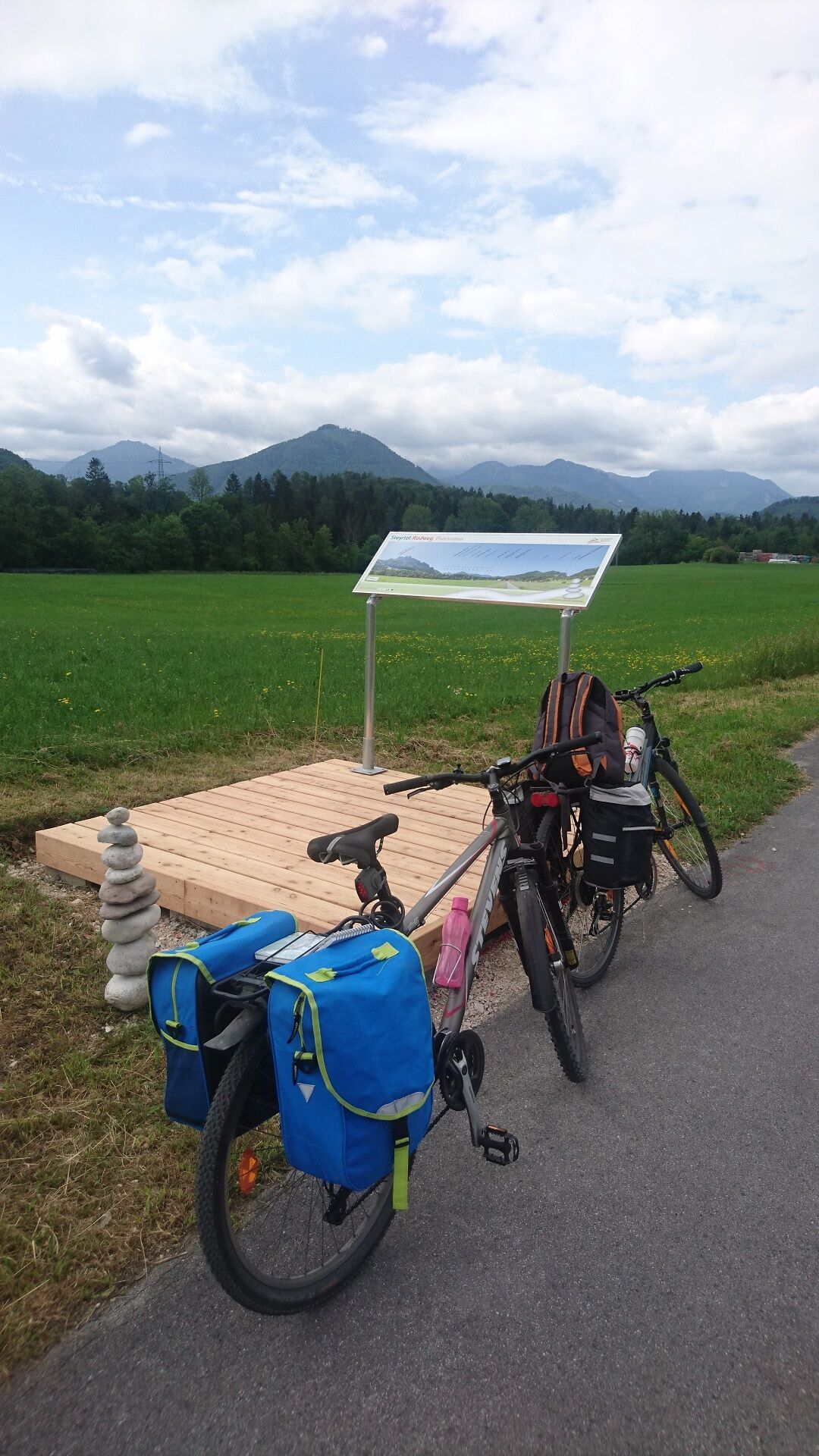
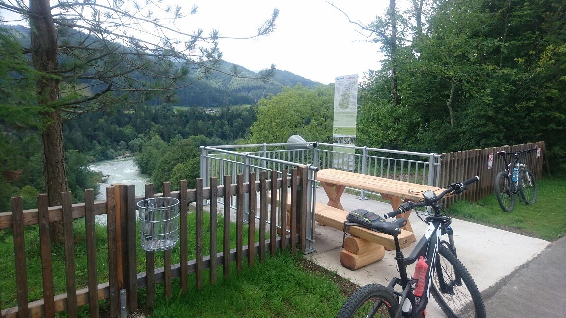
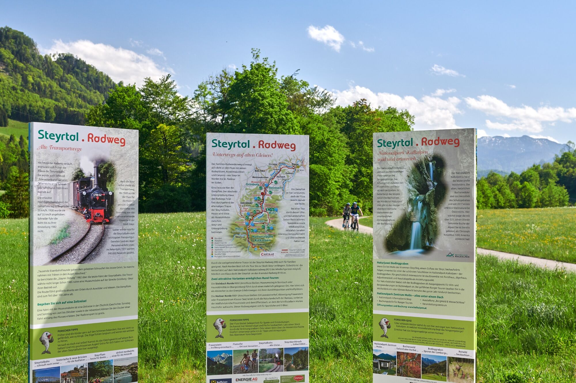
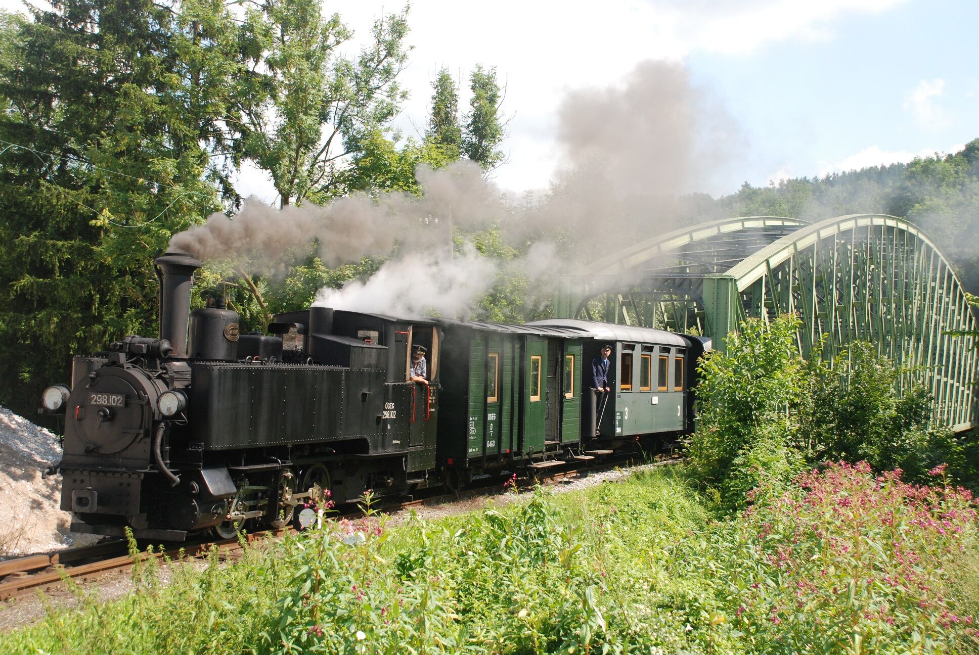
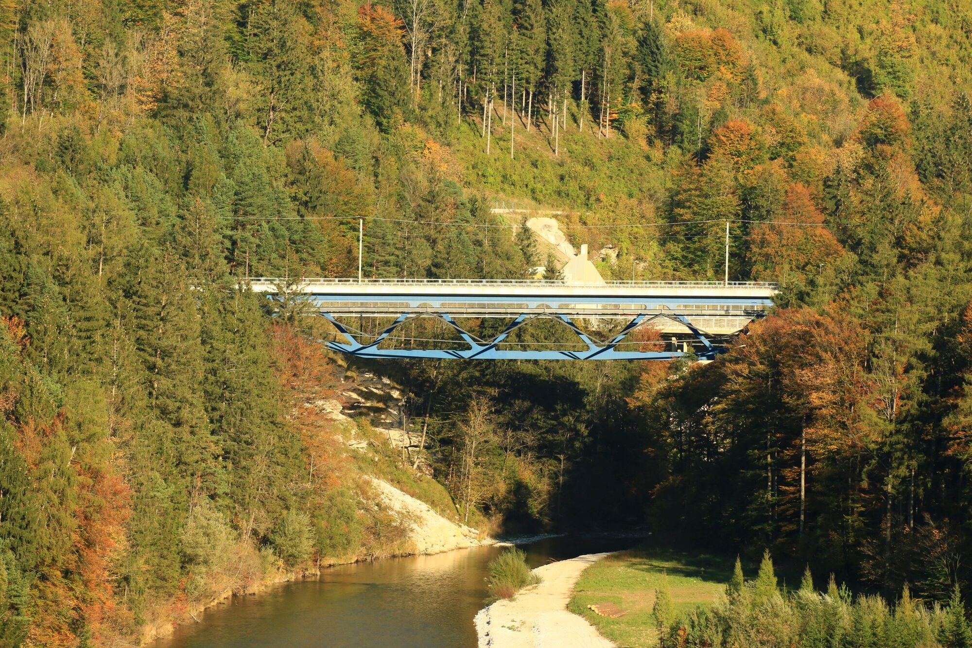
From the river to the mountains - Impressive, family-friendly bike tour on the route of the former Steyrtalbahn, past the Klaus reservoir over the old railroad bridge of the Pyhrnbahn you constantly have the majestic mountains of the Kalkalpen National Park region in front of your eyes.
- Stopień trudności
-
średni
- Ocena
-
- Trasa
-
Zwischenbrücken0,0 kmEnnsdorf0,0 kmSteinböcke im Schloßgraben0,1 kmSteyr (310 m)0,2 kmInnere Stadt0,6 kmWehrgraben0,7 kmSteyr Lokalbahnhof1,0 kmEisenfeld1,0 kmTeufelsbachfall1,0 kmChristkindlsiedlung1,3 kmUnterhimmel2,5 kmChristkindl2,7 kmRosenegg3,7 kmGasthaus Queng3,9 kmTinsting4,8 kmSchwaming6,1 kmLetten7,3 kmPichlern8,9 kmPieslwang15,9 kmSteinbach an der Steyr17,7 kmUntergrünburg18,1 kmObergrünburg20,5 kmGasthaus Wieser22,7 kmNaturfreunde26,6 kmKlaus38,5 kmKlaus an der Pyhrnbahn38,7 kmNationalParkrast47,3 kmSankt Pankraz50,2 kmGasthaus Zum Niesl50,3 kmRading59,9 kmPichl62,0 kmWindischgarsten63,8 kmMariensäule71,1 kmSpital am Pyhrn71,9 km
- Najlepszy sezon
-
stylutmarkwimajczelipsiewrzpaźlisgru
- Najwyższy punkt
- 639 m
- Miejsce docelowe
-
Spital am Pyhrn
- Profil wysokości
-


- Autor
-
Wycieczka Steyr - Spital am Pyhrn | Steyrtalradweg R8 & Nationalpark Kalkalpenradweg R31 jest używany przez outdooractive.com pod warunkiem.
GPS Downloads


Więcej wycieczek w regionach
-
Traunviertel
135
-
Urlaubsregion Pyhrn - Priel
38
-
Molln
22