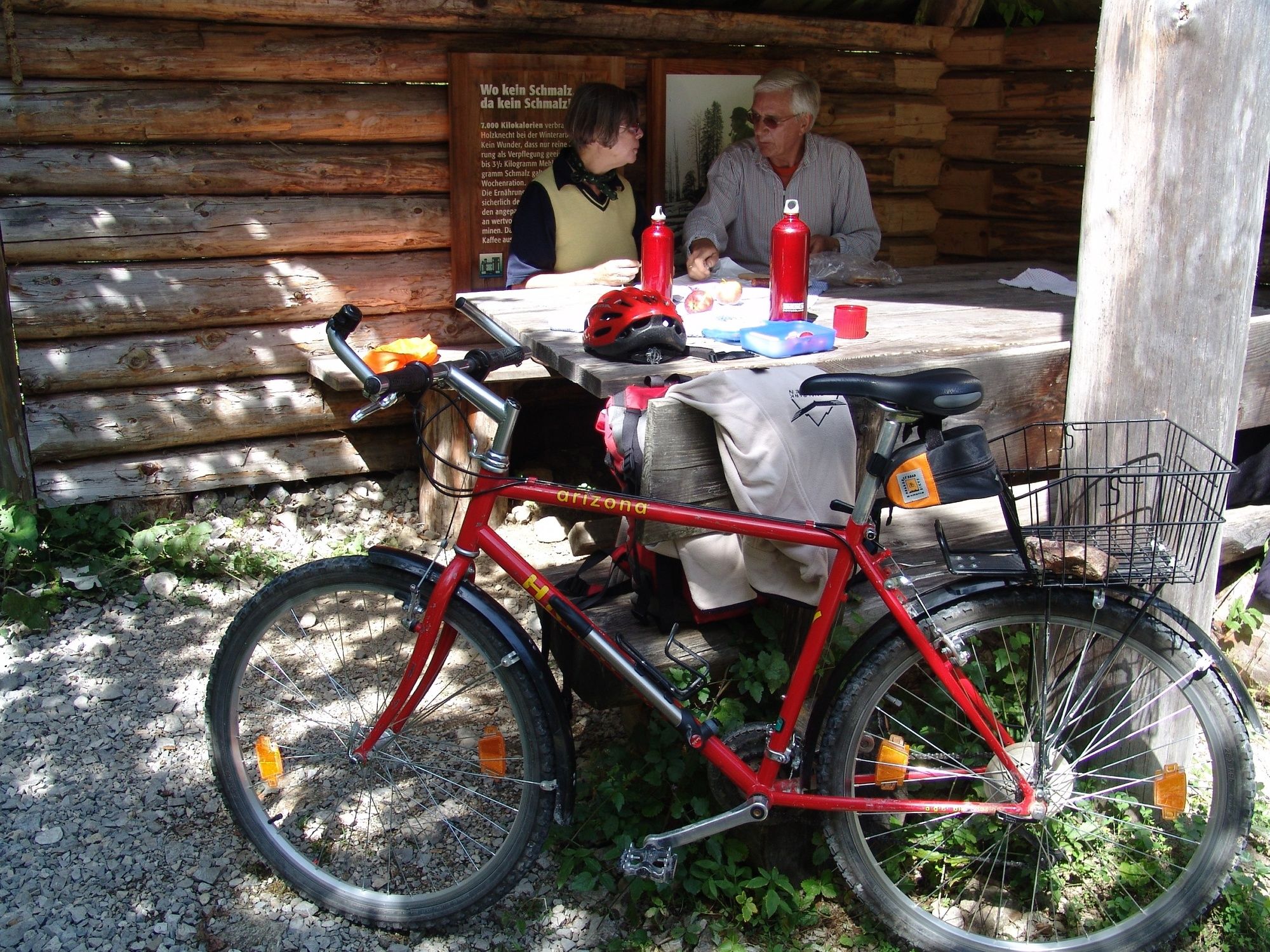
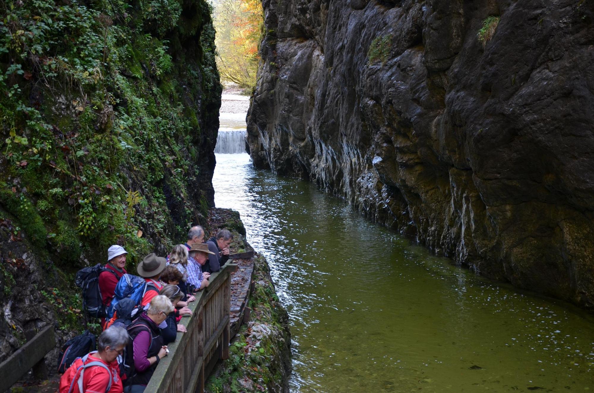
On the tracks of the Waldbahn from Reichraming, bicycle tour

Mountainbike

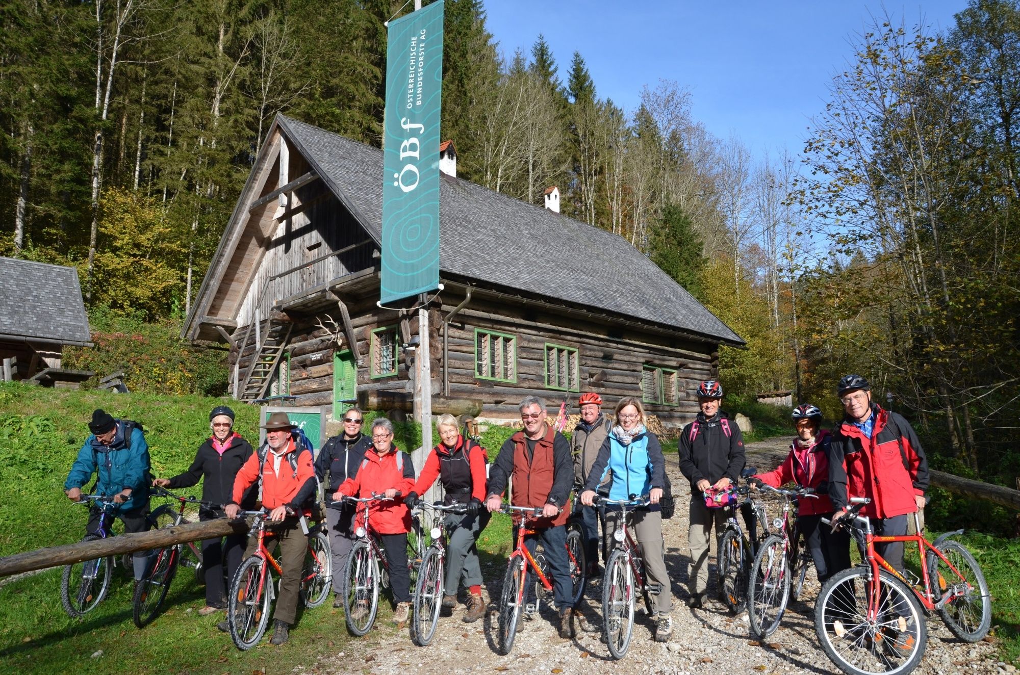
© Nationalpark Kalkalpen - <a href="http://www.kalkalpen.at">Nationalpark Kalkalpen</a>

© Nationalpark Kalkalpen - <a href="http://www.kalkalpen.at">Nationalpark Kalkalpen</a>
© Nationalpark Kalkalpen - <a href="http://www.kalkalpen.at">Nationalpark Kalkalpen</a>
© Nationalpark Kalkalpen - <a href="http://www.kalkalpen.at">Nationalpark Kalkalpen</a>

© Nationalpark Kalkalpen - <a href="http://www.kalkalpen.at">Nationalpark Kalkalpen</a>
© Nationalpark Kalkalpen - <a href="http://www.kalkalpen.at">Nationalpark Kalkalpen</a>

© Nationalpark Kalkalpen - <a href="http://www.kalkalpen.at">Nationalpark Kalkalpen</a>

- Krótki opis
-
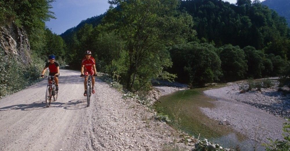
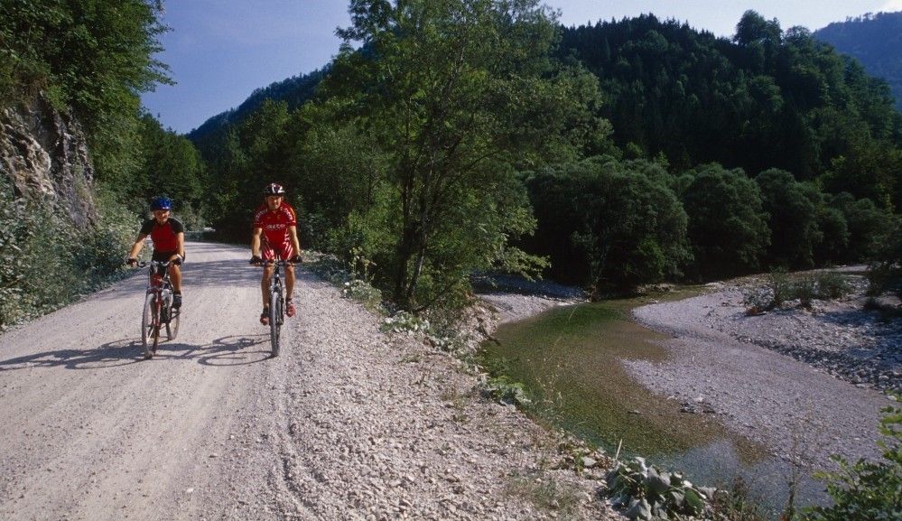
Bicycle tour along the Hintergebirgsradweg with slight ascents to Weißwasser and a short, steeper ascent to the Hirschkogelsattel, followd by a rapid descent to Brunnbach.
- Stopień trudności
-
średni
- Ocena
-
- Trasa
-
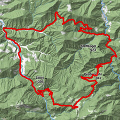
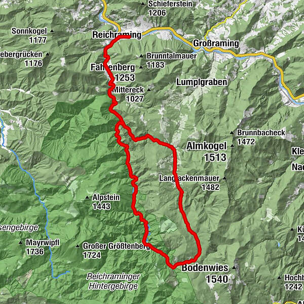
ReichramingReichraming0,7 kmGroße Klause14,4 kmSchleierfall19,5 kmWeißwasser23,8 kmHirschkogelsattel (882 m)26,5 kmBrunnbachstadl32,0 kmBrunnbach (522 m)32,3 kmReichraming44,8 kmReichraming45,4 km
- Najlepszy sezon
-
stylutmarkwimajczelipsiewrzpaźlisgru
- Najwyższy punkt
- 877 m
- Miejsce docelowe
-
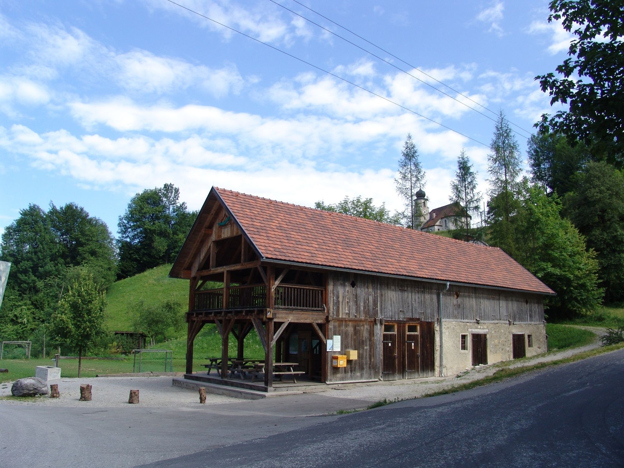
Klaushütte, Parking Anzenbach or train station Reichraming
- Profil wysokości
-


- Autor
-
Wycieczka On the tracks of the Waldbahn from Reichraming, bicycle tour jest używany przez outdooractive.com pod warunkiem.
GPS Downloads


Informacje ogólne
Przystanek odświeżania
Kulturalny/Historyczny
Więcej wycieczek w regionach