© Erlebnisregion Schladming-Dachstein - HP Steiner

© Erlebnisregion Schladming-Dachstein - Tourismusverband Schladming-Dachstein
Dane wycieczki
7,17km
2.621
- 2.974m
520hm
515hm
06:30h
- Stopień trudności
- A/B
- Krótki opis
-
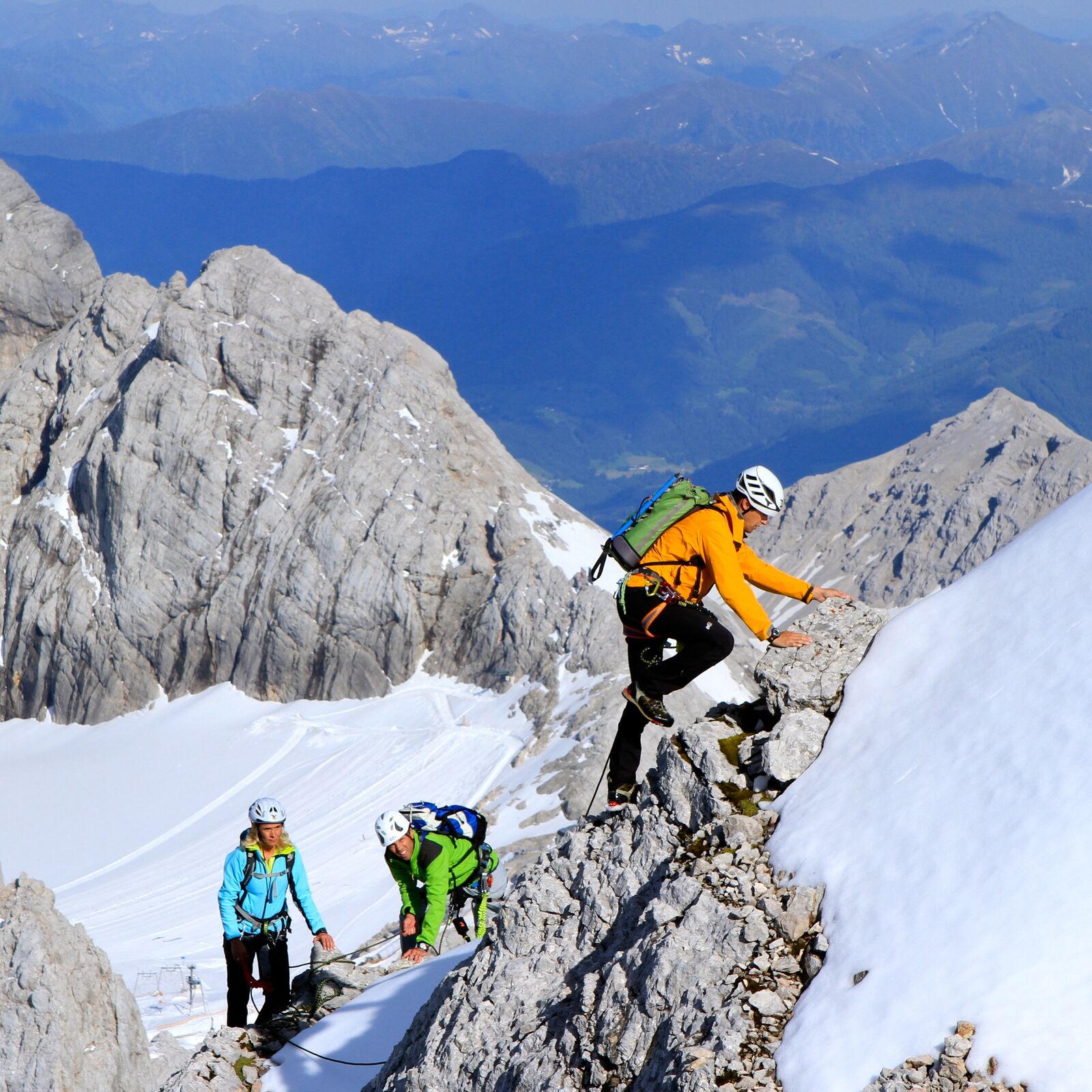
A scenically beautiful, moderately difficult via ferrata in high alpine terrain with the ascent and descent over the glacier.
- Stopień trudności
-
średniStopień trudności A/B
- Ocena
-
- Trasa
-
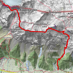
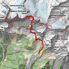
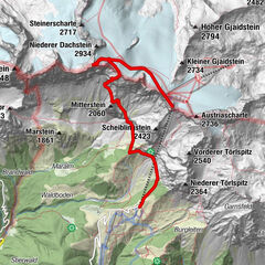
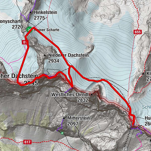
Obere Windlucke (2.746 m)0,6 kmHoher Dachstein (2.995 m)1,6 kmDachsteinwarte (2.741 m)2,3 kmSeethalerhütte2,3 kmHunerkogel (2.687 m)4,4 kmDachstein glacier restaurant4,4 km
- Najlepszy sezon
-
stylutmarkwimajczelipsiewrzpaźlisgru
- Najwyższy punkt
- 2.974 m
- Miejsce docelowe
-
Top station Dachstein glacier
- Exposition
- Profil wysokości
-


-

-
AutorWycieczka Dachstein Westridge (Westgrat) jest używany przez outdooractive.com pod warunkiem.
GPS Downloads


Informacje ogólne
Obiecujący
Więcej wycieczek w regionach