Donausteig Stage 1_S03 Engelhartszell - Schlögen: „Over the 4/4-view to the Schlögener Loop“

© WGD Donau Oberösterreich Tourismus GmbH/Weissenbrunner - Weissenbrunner

© WGD Donau Oberösterreich Tourismus GmbH/Weissenbrunner

© WGD Donau Oberösterreich Tourismus GmbH/Hochhauser
© WGD Donau Oberösterreich Tourismus GmbH/Hochhauser

© Donauregion

© WGD Donau Oberösterreich Tourismus GmbH

© WGD Donau Oberösterreich Tourismus GmbH

- Krótki opis
-
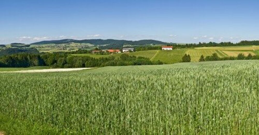
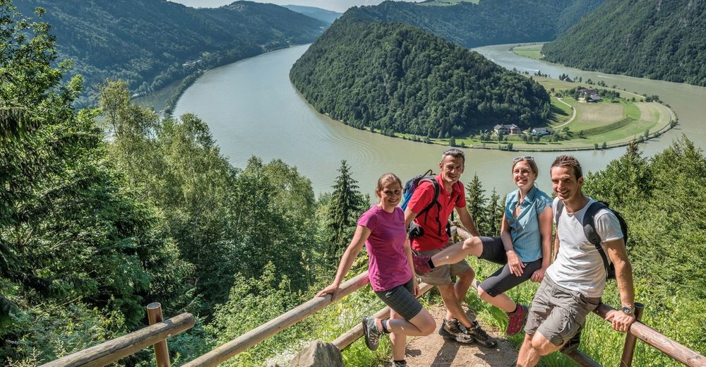
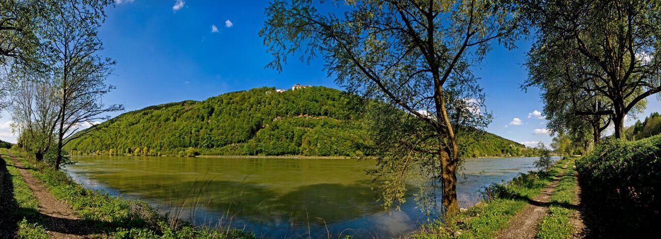
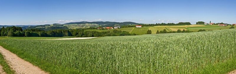
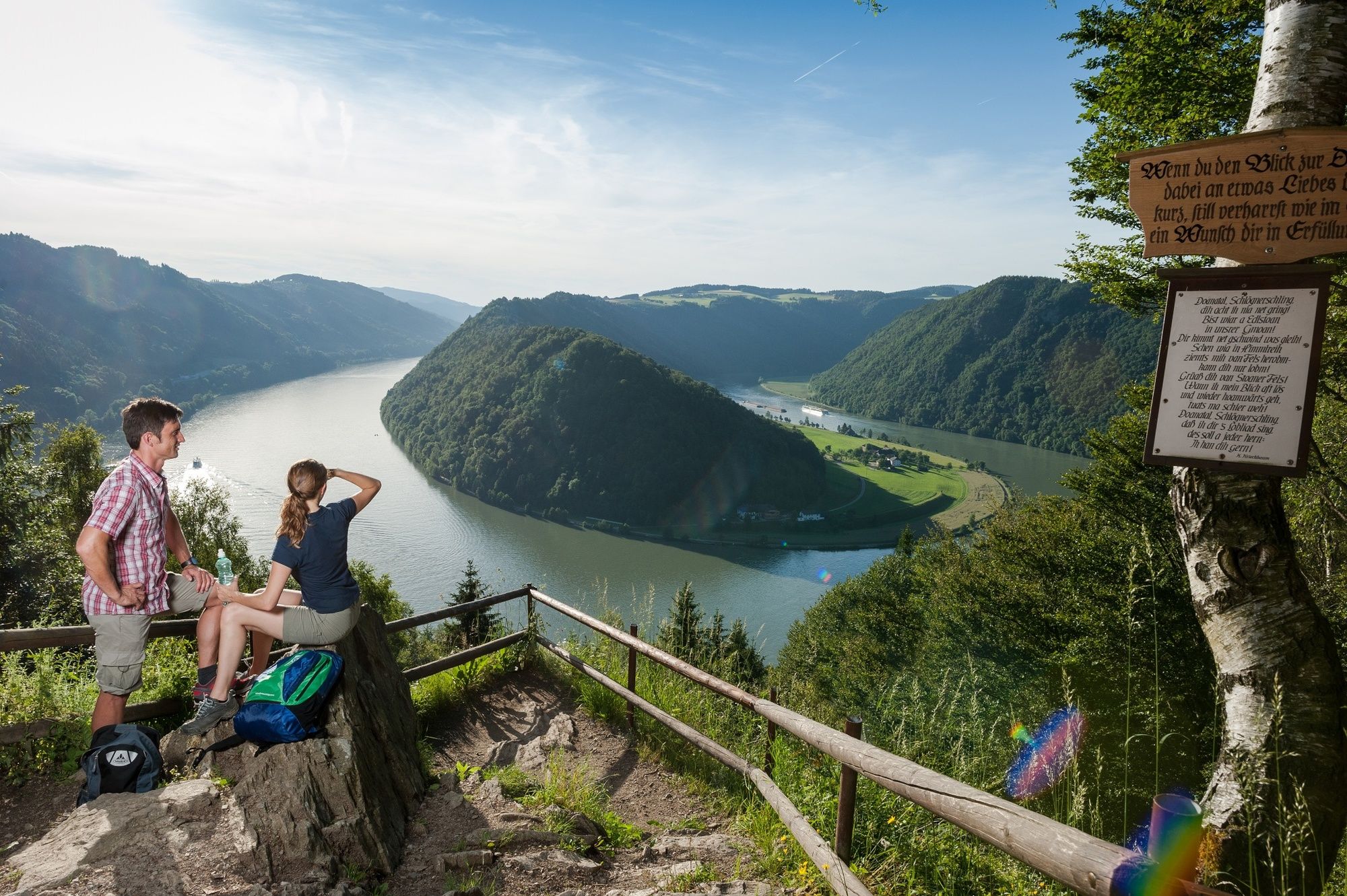
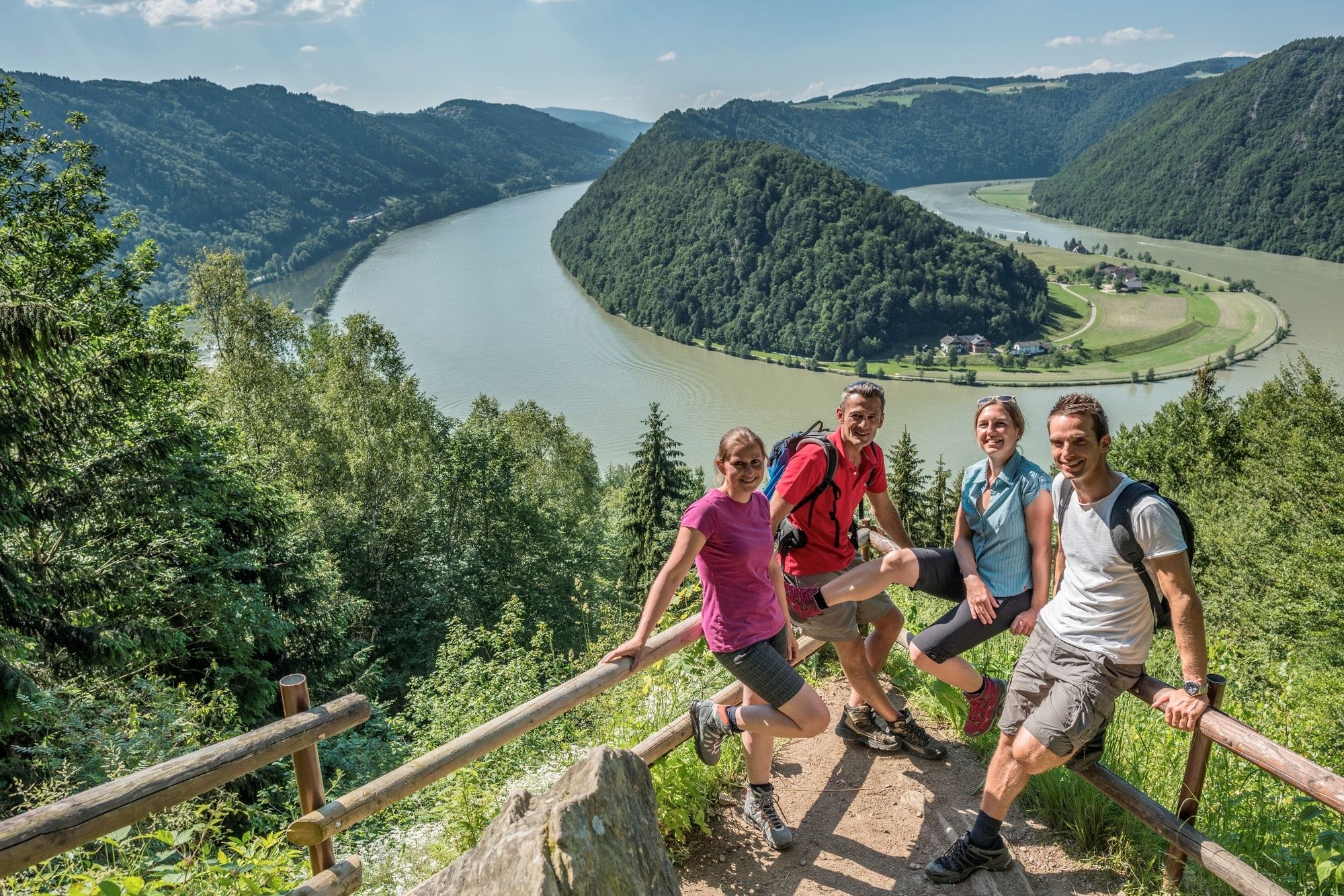
The Donausteig-simply fabulous! This stage leads us from Engelhartszell first through the forest rich Durchbruchstal (valley) of the upper Danube, then across the rural Sauwald plateau to the deeply buried Schlögener loop. We discover the historical Engelhartszell, the only Trappist monastery in Austria, the hidden nature jewel of the small Kösslbachtals (valley), the four quarters of Upper Austria, the magnificent natural wonders of the Schlögener loop...
- Stopień trudności
-
ciężkie
- Ocena
-
- Trasa
-
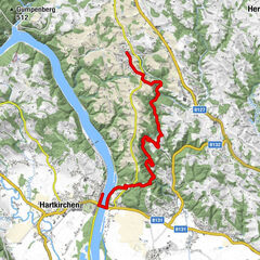
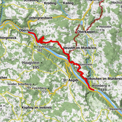
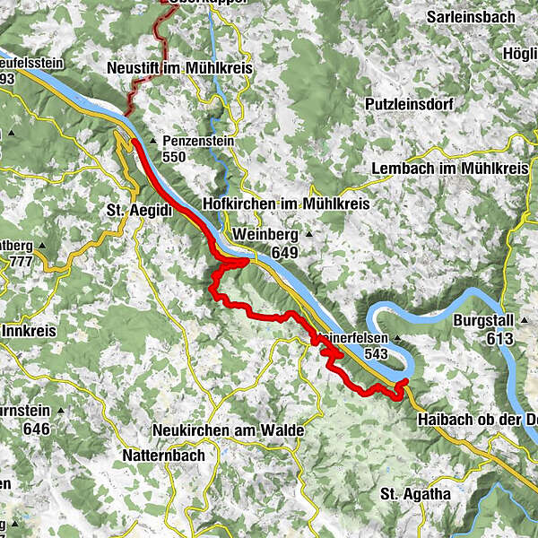
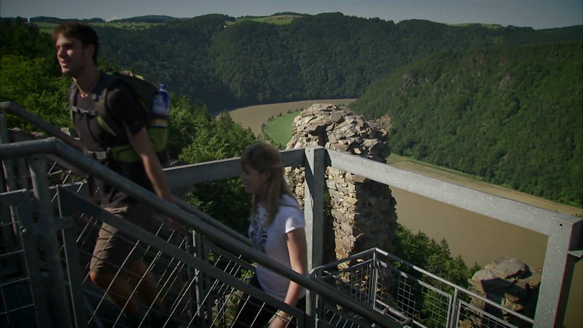
Engelhartszell0,0 kmGasthof zum Goldenen Schiff0,4 kmSchiffsanlegestelle0,4 kmEngelszell0,5 kmSaag1,5 kmRonthal3,1 kmOberranna4,8 kmNiederranna6,8 kmSchickedt10,6 kmIm Eck10,8 kmPanoramaaussicht - Vierviertelblick (592 m)11,3 kmAtzersdorf11,7 kmWirtin z Atzersdorf11,7 kmAichberg13,1 kmWaldkirchen am Wesen (550 m)14,9 kmGraben15,4 kmErledt18,4 kmPaschinger Hügel19,0 kmFernrohr - am Paschinger Hügel19,0 kmPasching19,4 kmStraß20,0 kmMitterberg22,2 kmHauskapelle Hotel Donauschlinge23,0 kmSchlögen23,0 km
- Najlepszy sezon
-
stylutmarkwimajczelipsiewrzpaźlisgru
- Najwyższy punkt
- 603 m
- Miejsce docelowe
-
Schlögen - the Donausteig-starting point „Schlögen“ lies on the access road to the Hotel Donauschlinge at the beginning of the hotel's own parking lot on the left hand side/
- Profil wysokości
-


- Autor
-
Wycieczka Donausteig Stage 1_S03 Engelhartszell - Schlögen: „Over the 4/4-view to the Schlögener Loop“ jest używany przez outdooractive.com pod warunkiem.
GPS Downloads


Informacje ogólne
Przystanek odświeżania
Kulturalny/Historyczny
Flora
Fauna
Obiecujący
Więcej wycieczek w regionach
-
Innviertel
797
-
Donau Oberösterreich
780
-
Waldkirchen am Wesen
199