- Krótki opis
-
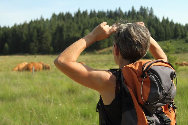
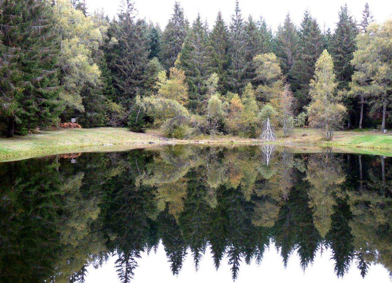
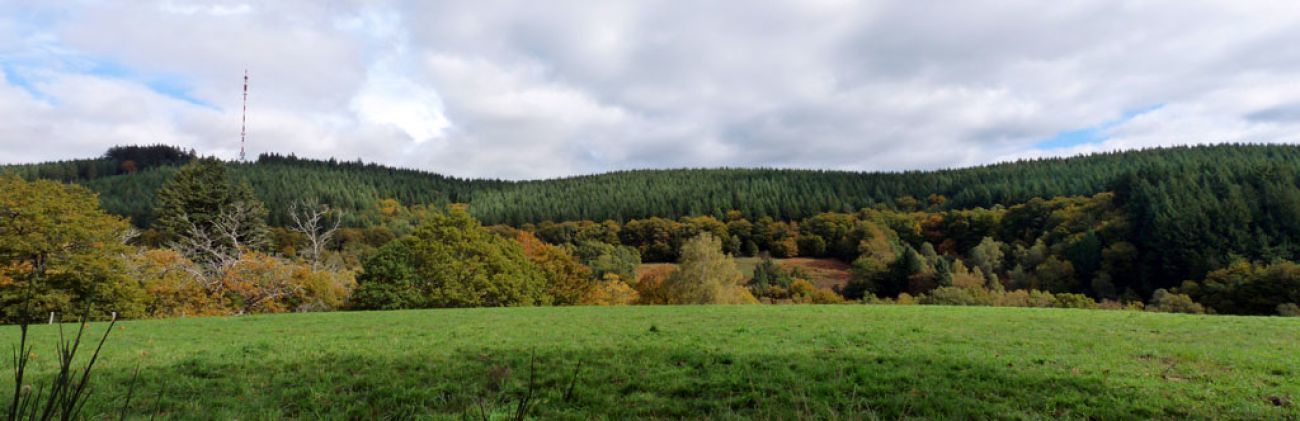
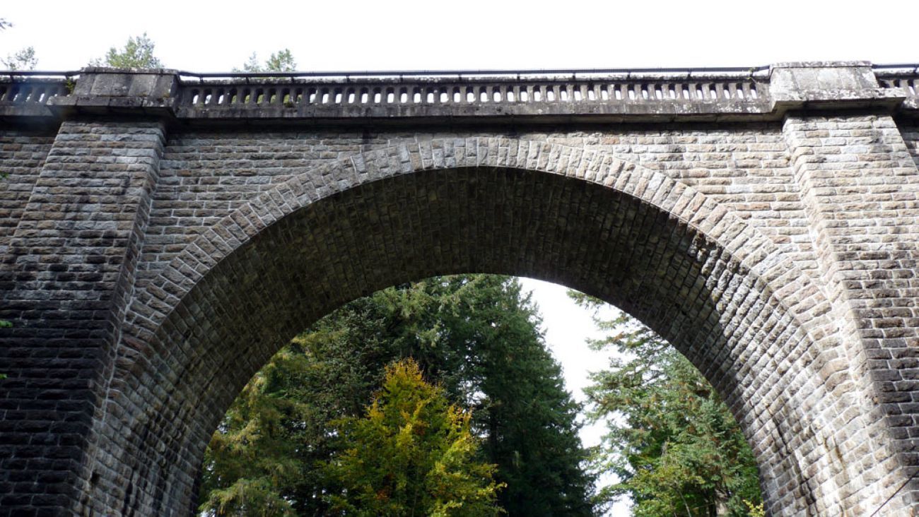
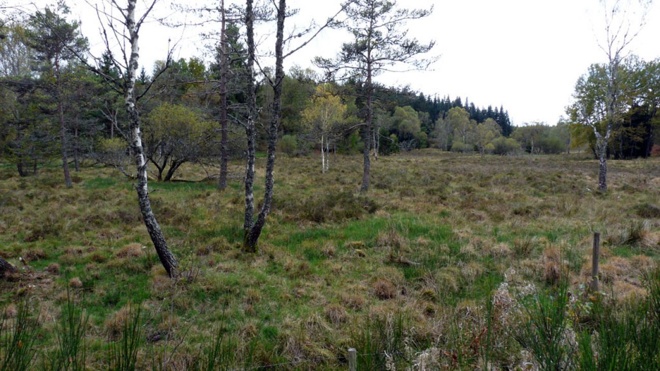
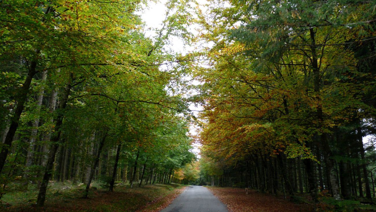
Between moors, towers, meadows, forests and rivers, this circuit is one of the 19 not-to-be-missed routes in Corrèze which take you to the Causse corrézien, the plateau of Millevaches, the Monédières, the gorges and the valley of the Dordogne. You will walk in the footsteps of history in Aubazine, Corrèze, Curemonte, Uzerche, at the Tours de Merle, on the Gallo-Roman site of Les Cars... and enjoy many exceptional viewpoints!
- Stopień trudności
-
ciężkie
- Ocena
-
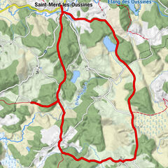
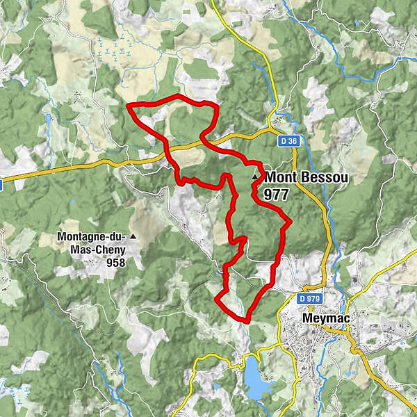
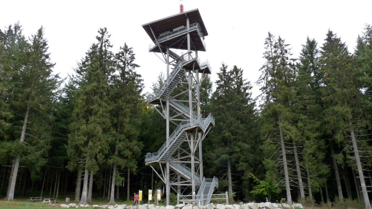
- Trasa
-
Mont Bessou (977 m)0,5 kmLavaur3,2 kmLe Goumoueix6,4 km
- Najlepszy sezon
-
stylutmarkwimajczelipsiewrzpaźlisgru
- Najwyższy punkt
- 961 m
- Miejsce docelowe
-
Tour du Mont Bessou, Meymac
- Profil wysokości
-
 © outdooractive.com

-

-
AutorWycieczka Le toit du Limousin jest używany przez outdooractive.com pod warunkiem.
GPS Downloads


Informacje ogólne
Uzdrawiający klimat
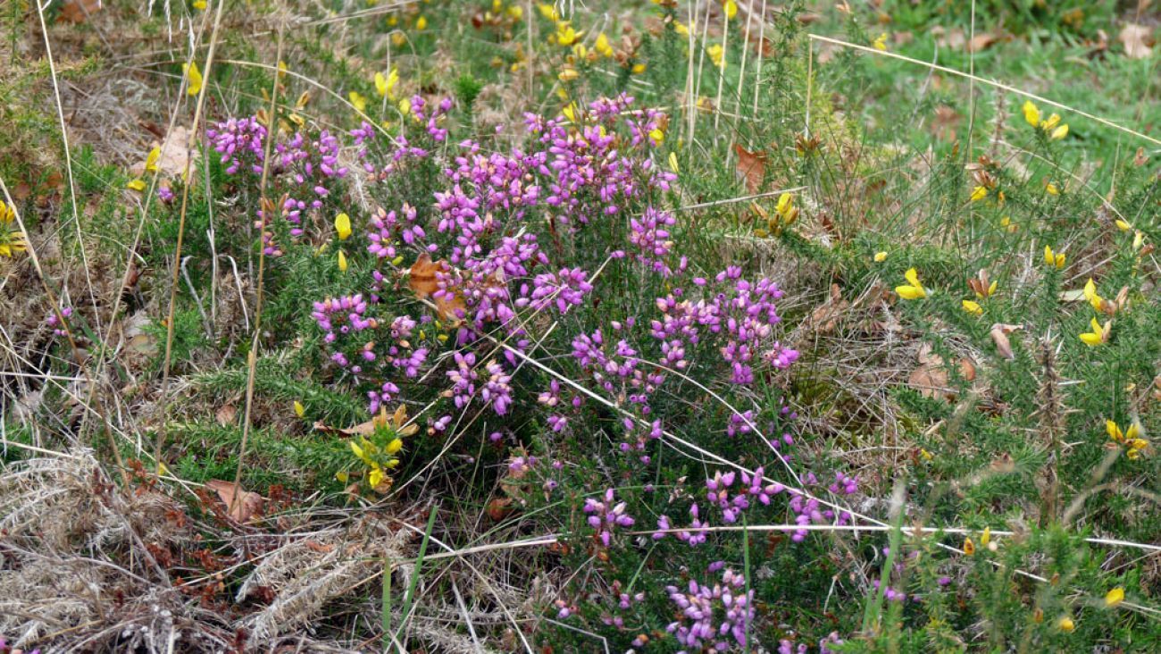
Flora
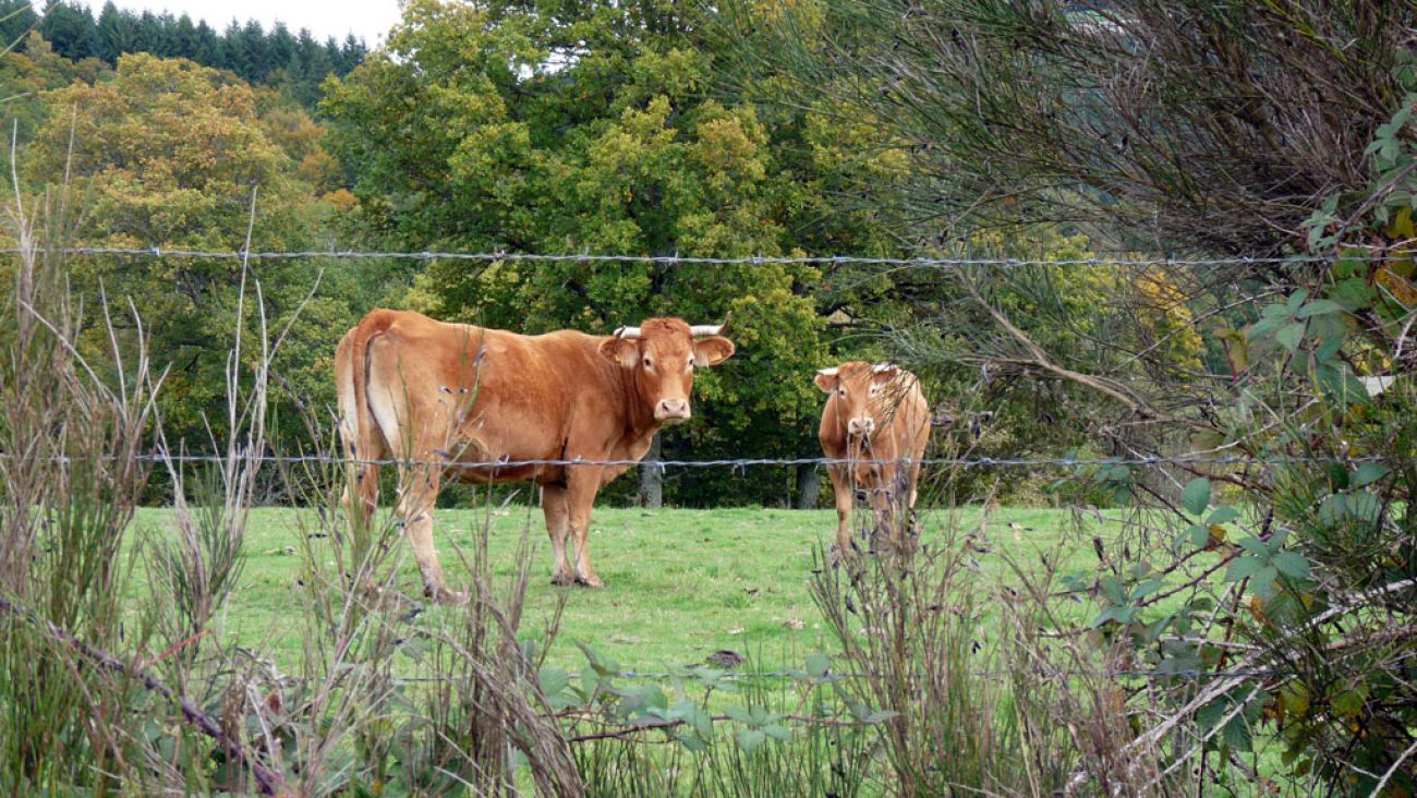
Fauna
Obiecujący