© StädteRegion Aachen - Dominik Ketz

© StädteRegion Aachen - Dominik Ketz

© Eifel Tourismus GmbH - Dominik Ketz

© Eifel Tourismus GmbH - Dominik Ketz

© Eifel Tourismus GmbH - Dominik Ketz

© StädteRegion Aachen - Michael Lock

© StädteRegion Aachen - Dominik Ketz

© Eifel Tourismus GmbH - Dominik Ketz

© Eifel Tourismus GmbH - Dominik Ketz

© StädteRegion Aachen - Dominik Ketz

- Krótki opis
-
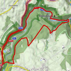
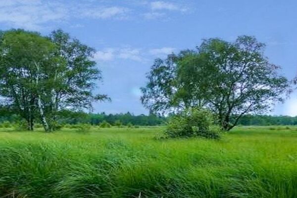
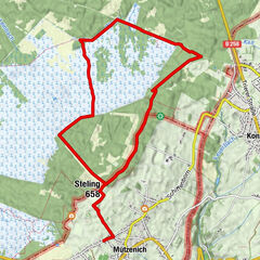
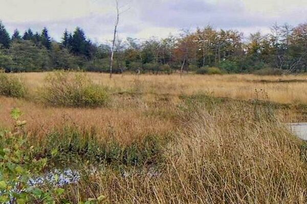
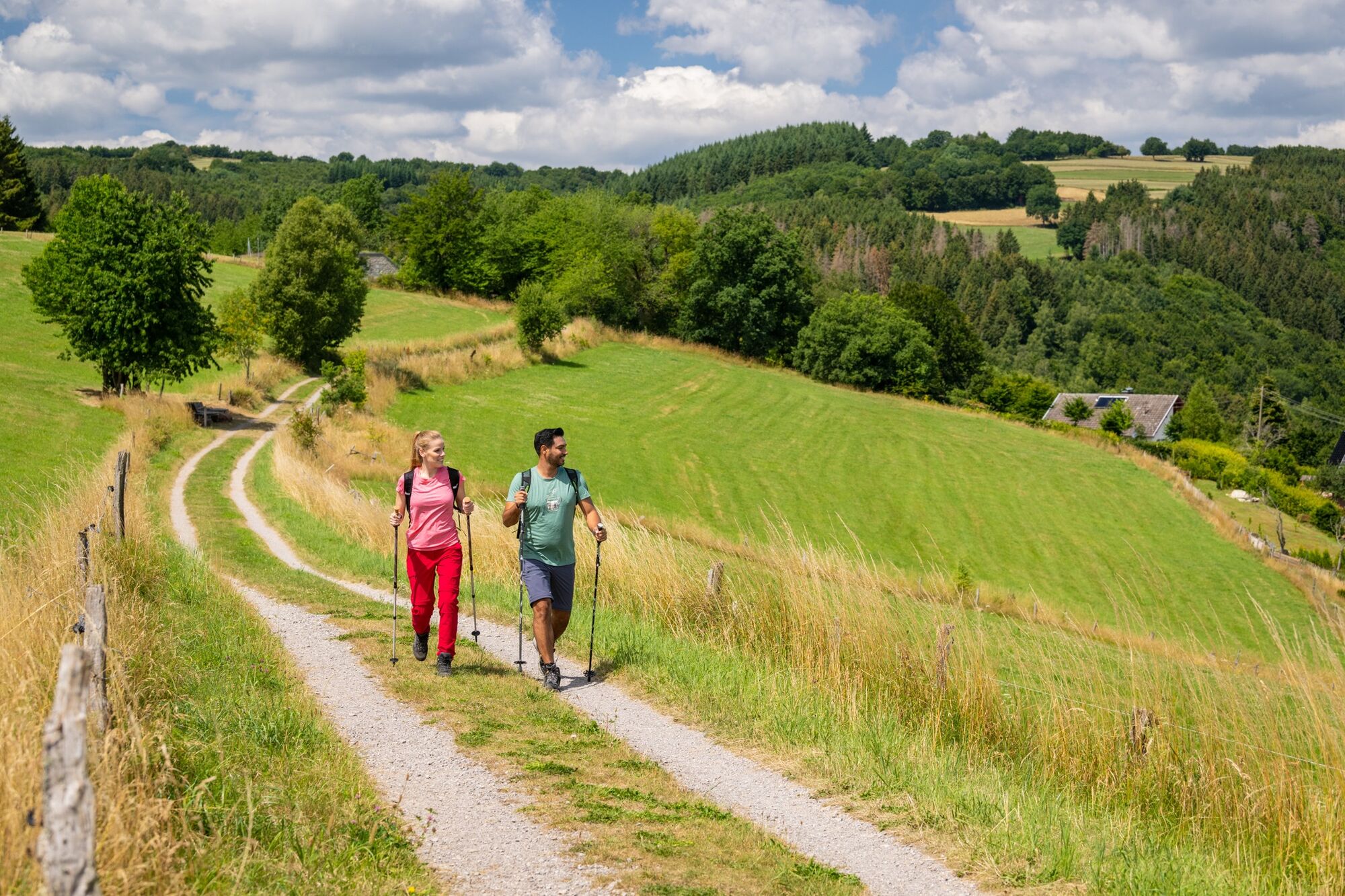
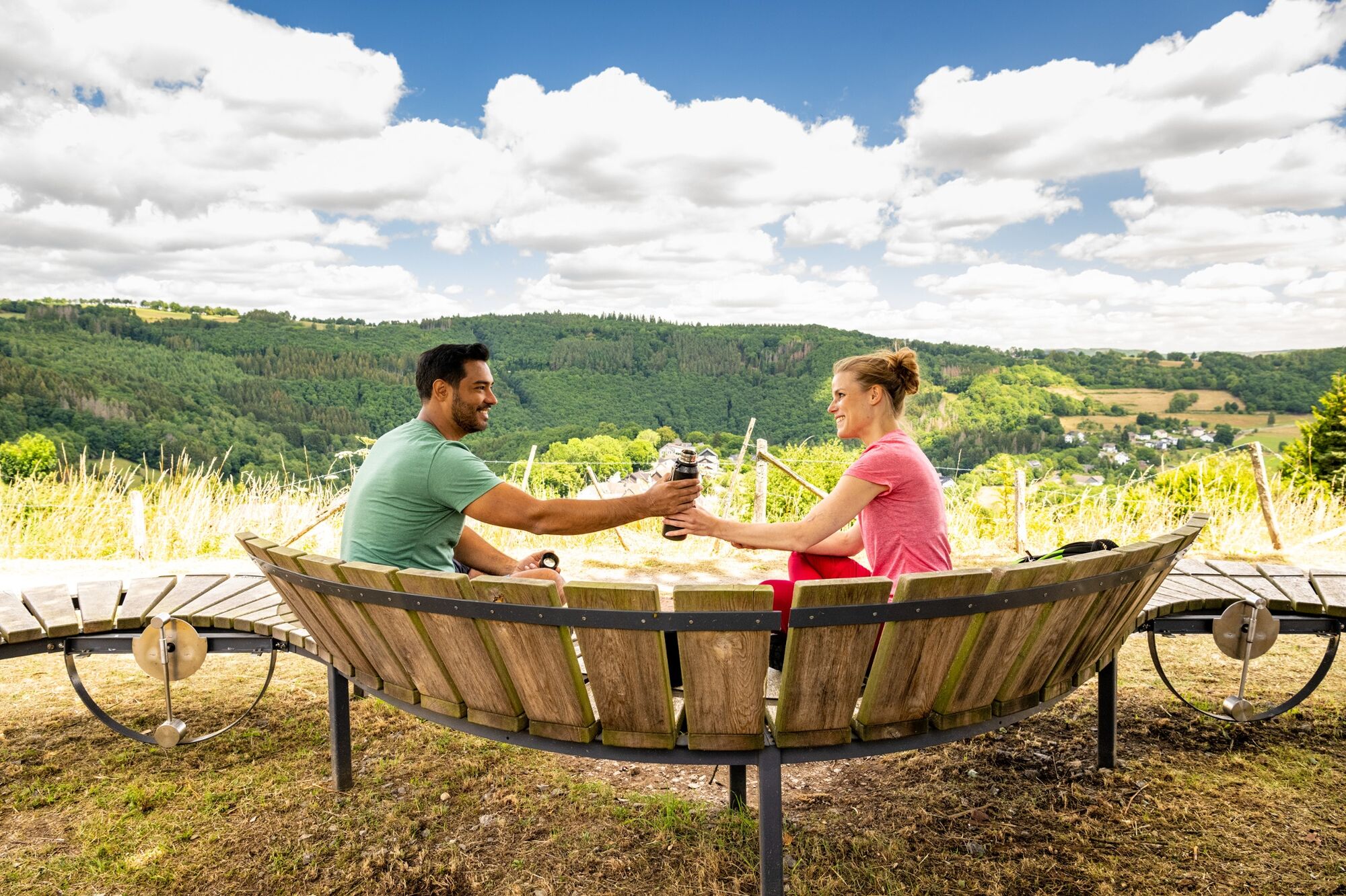
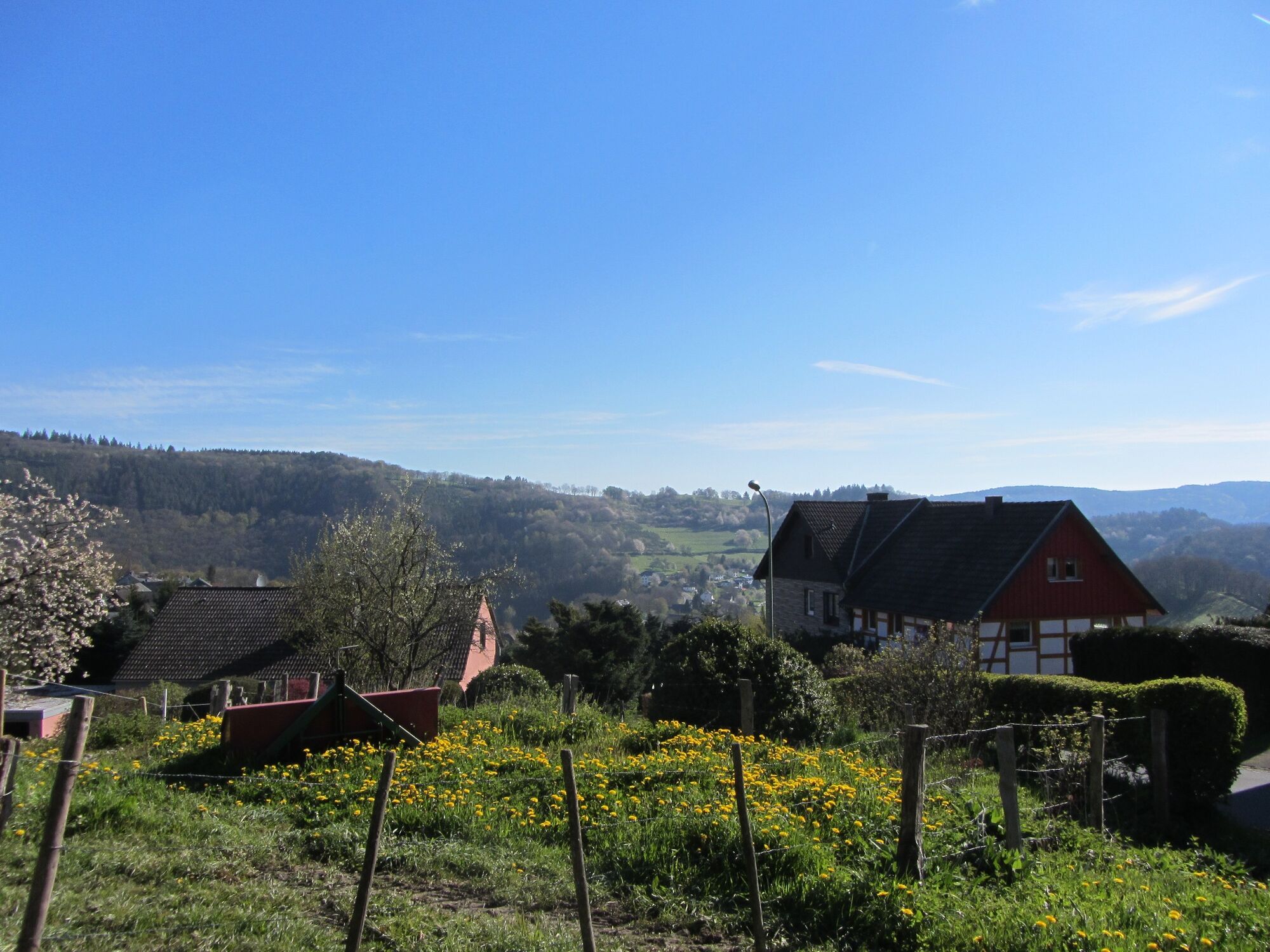
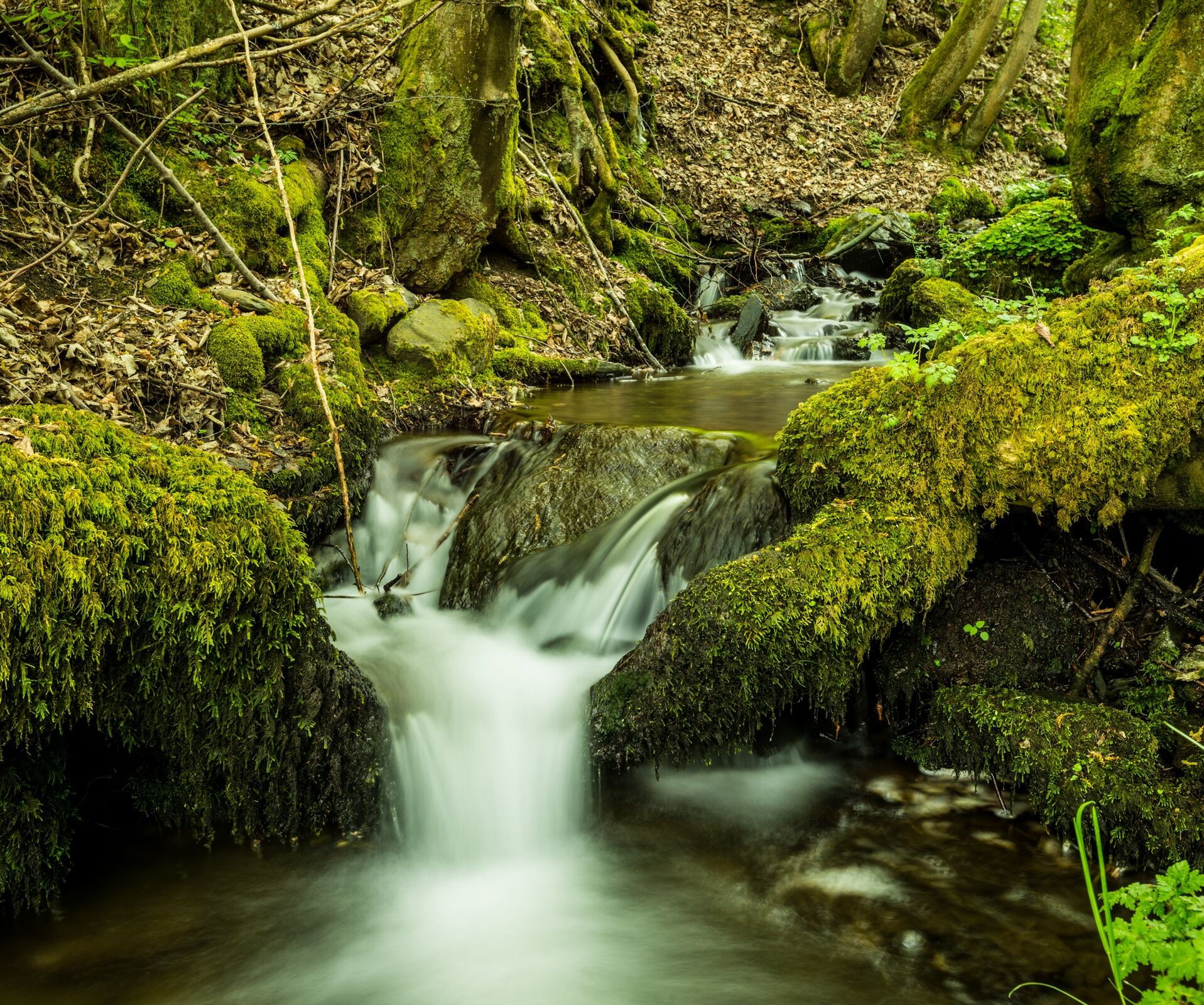
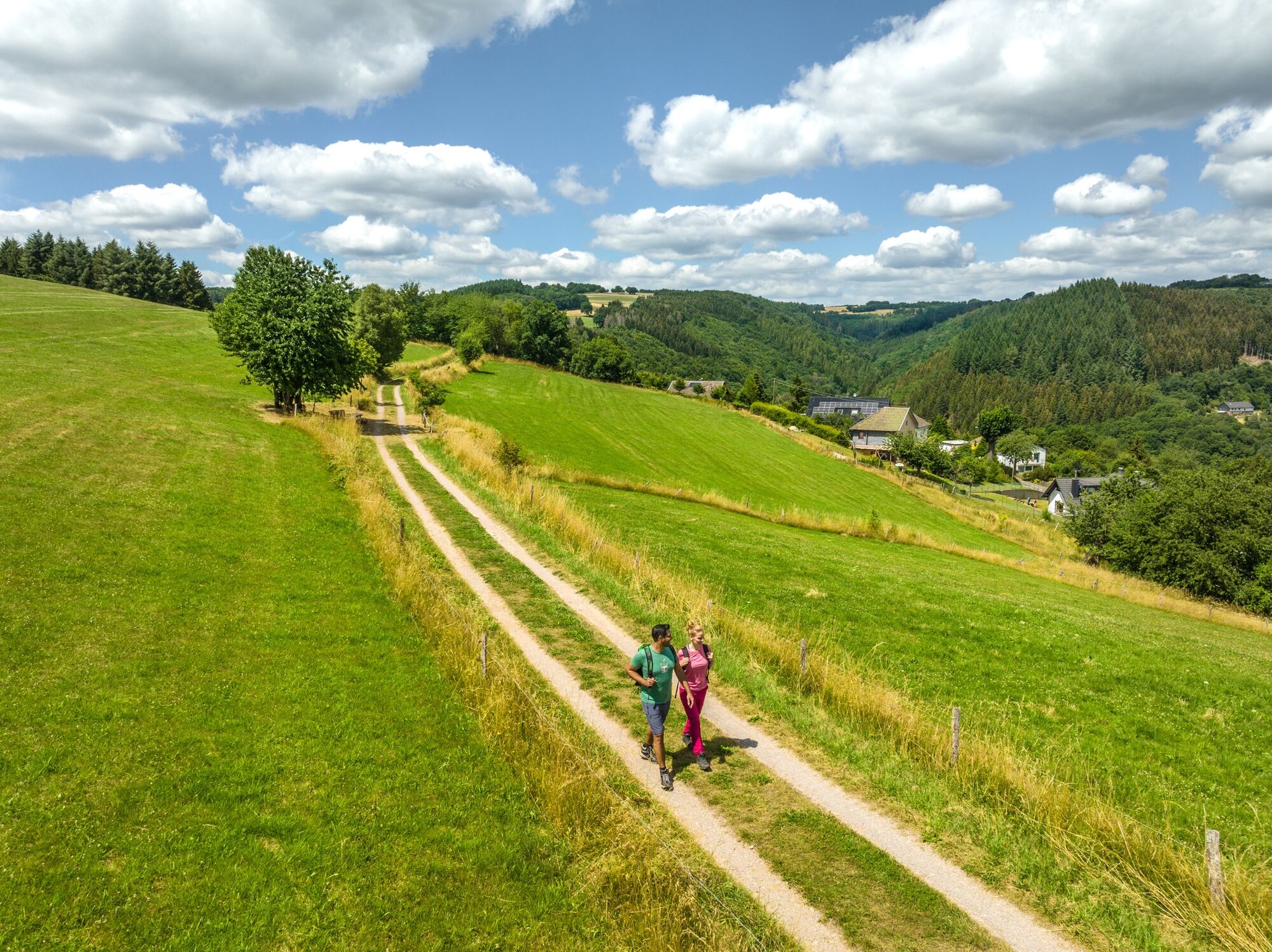
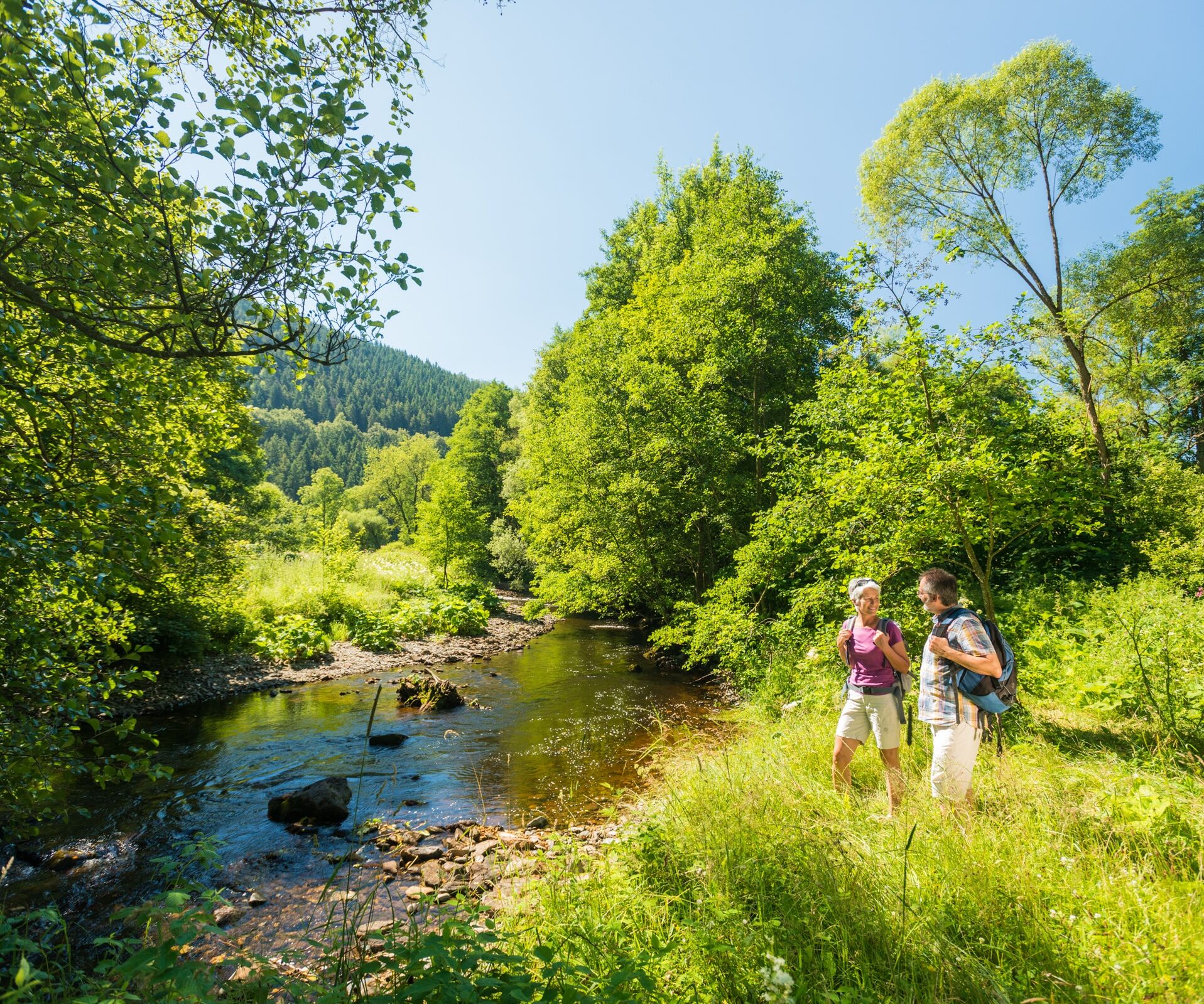
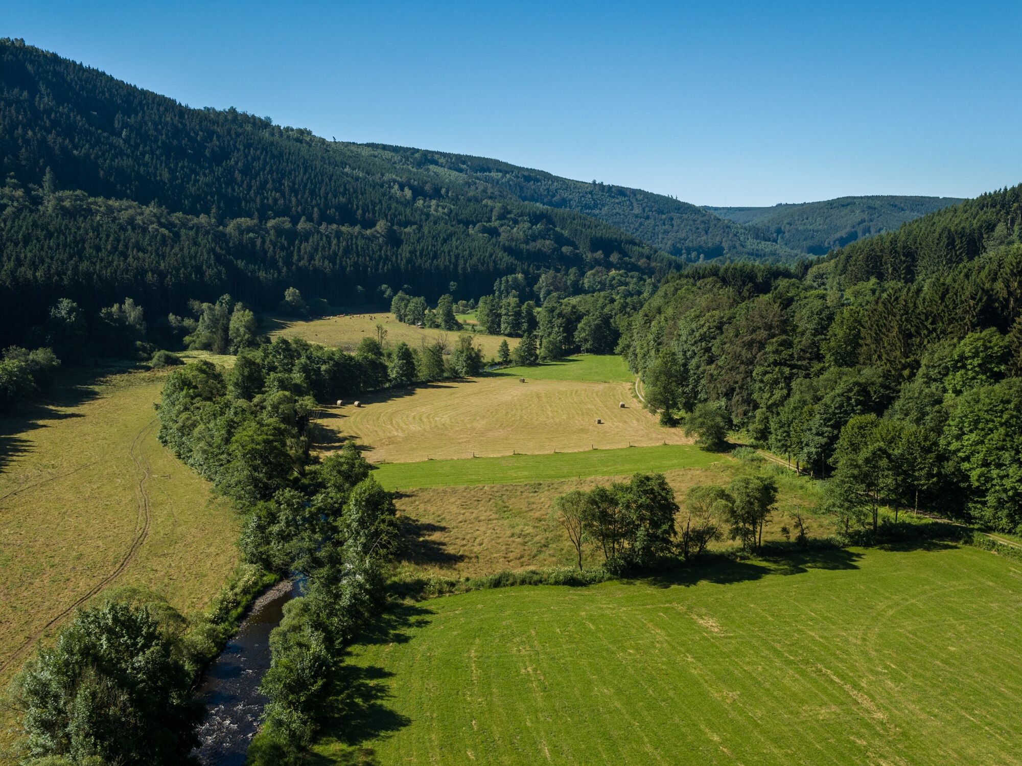
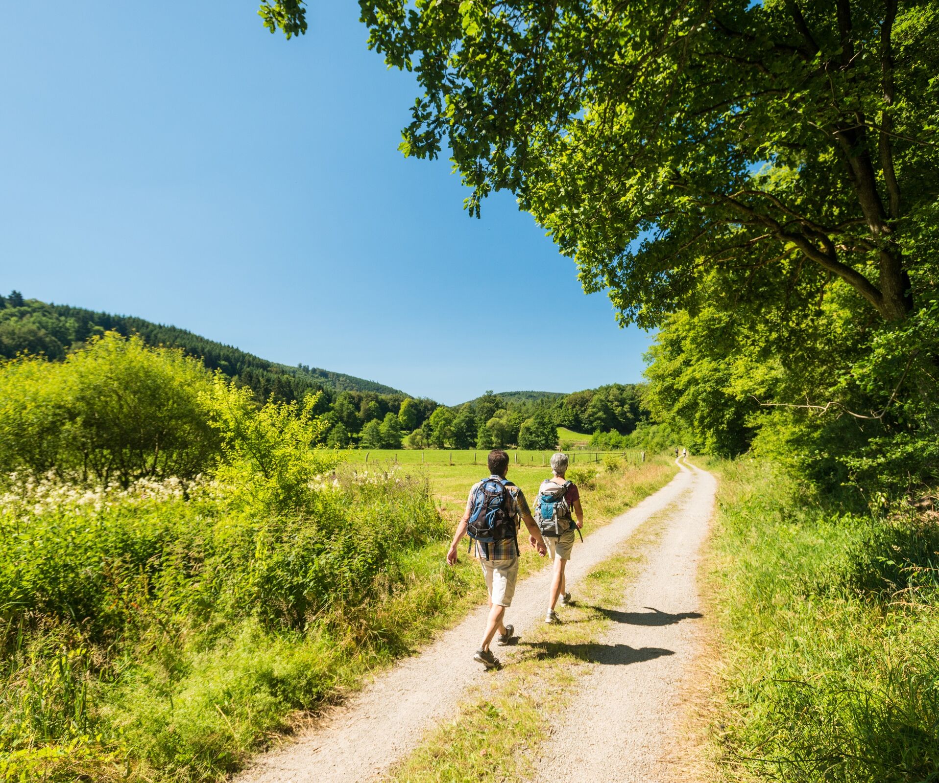
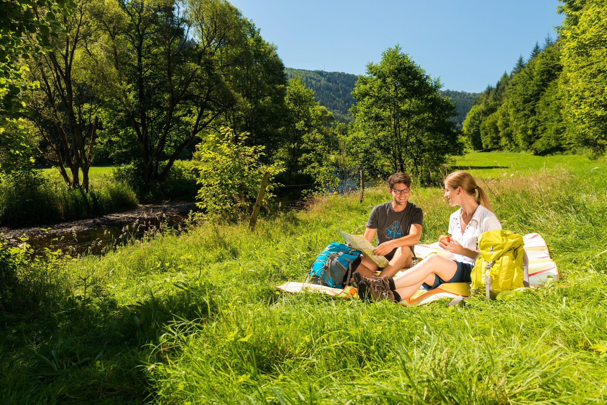
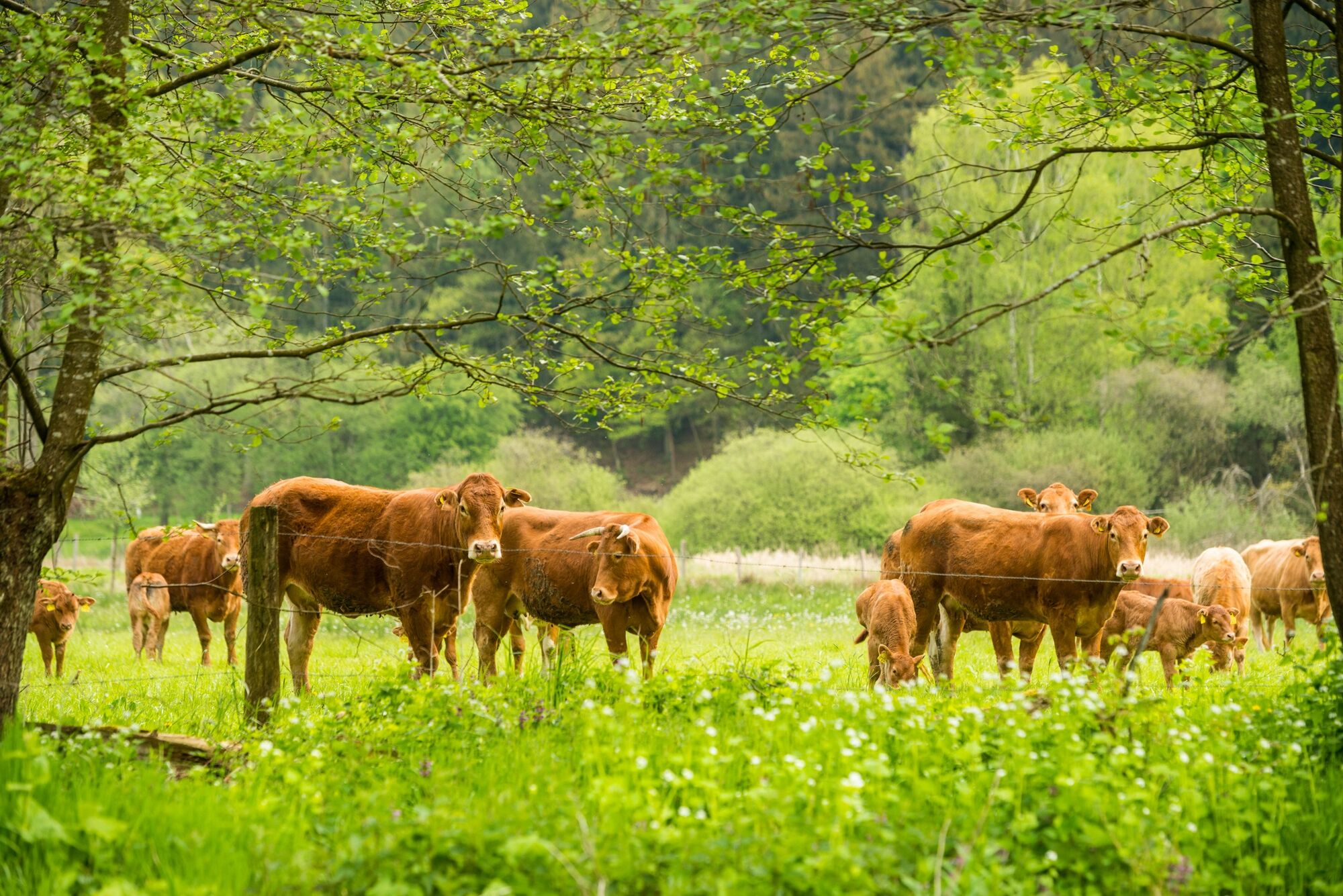
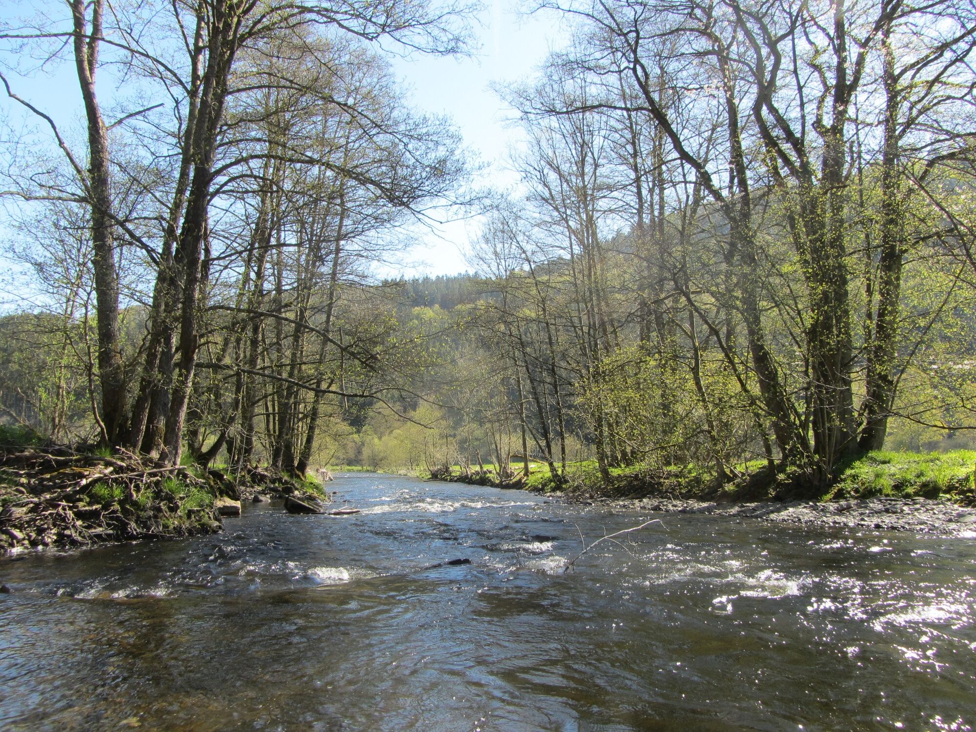
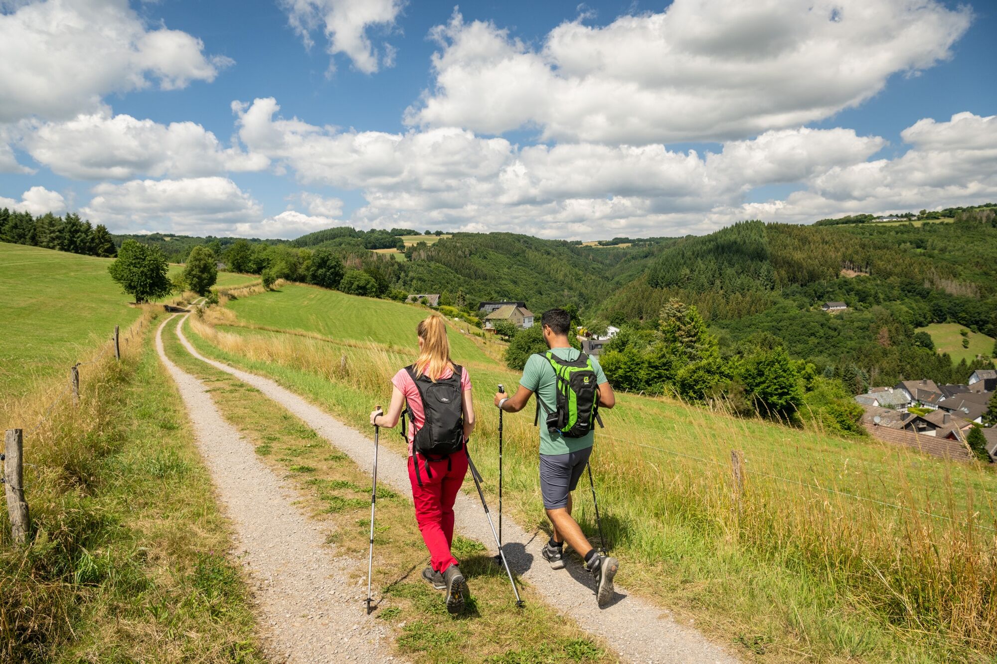
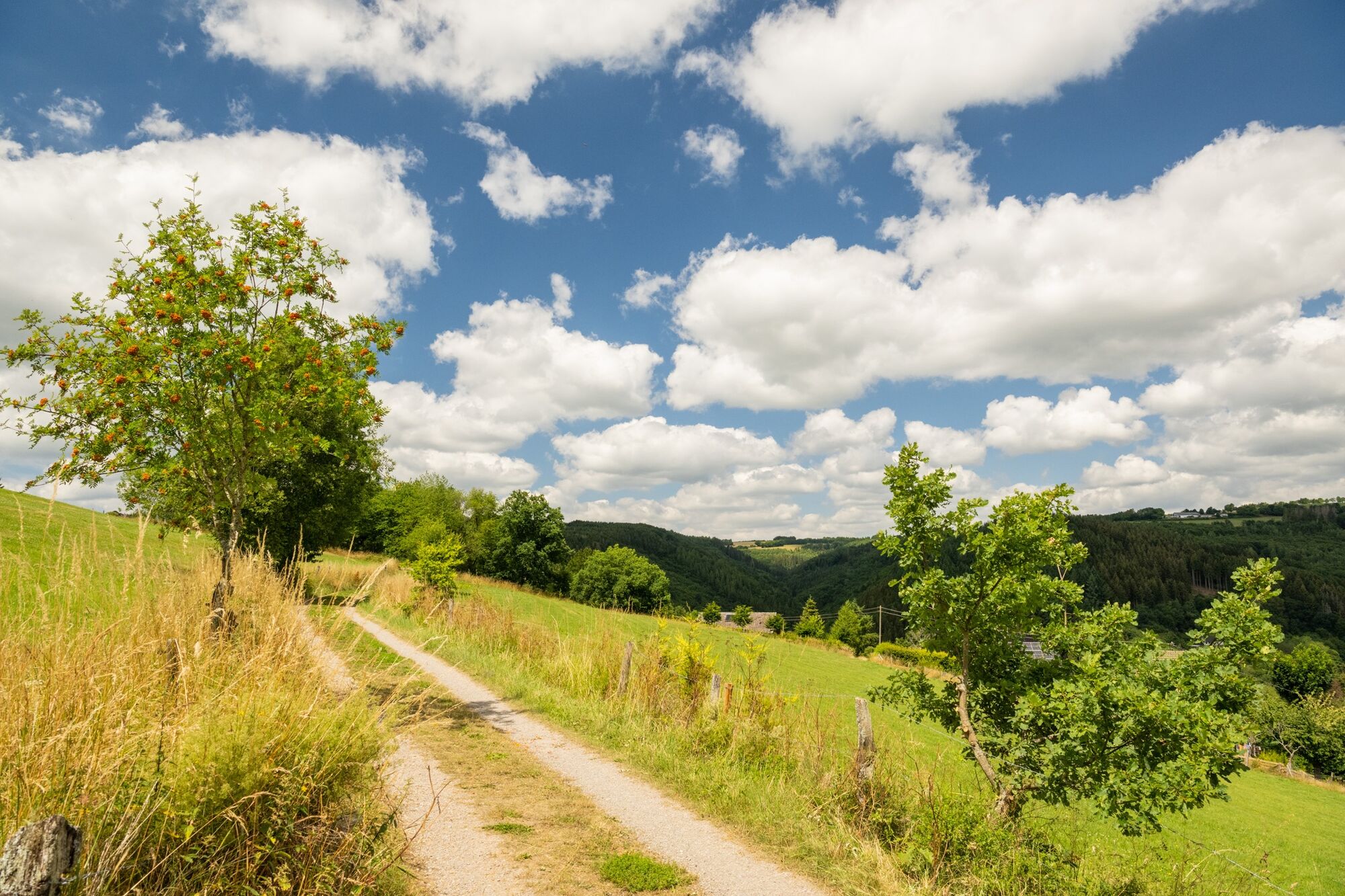
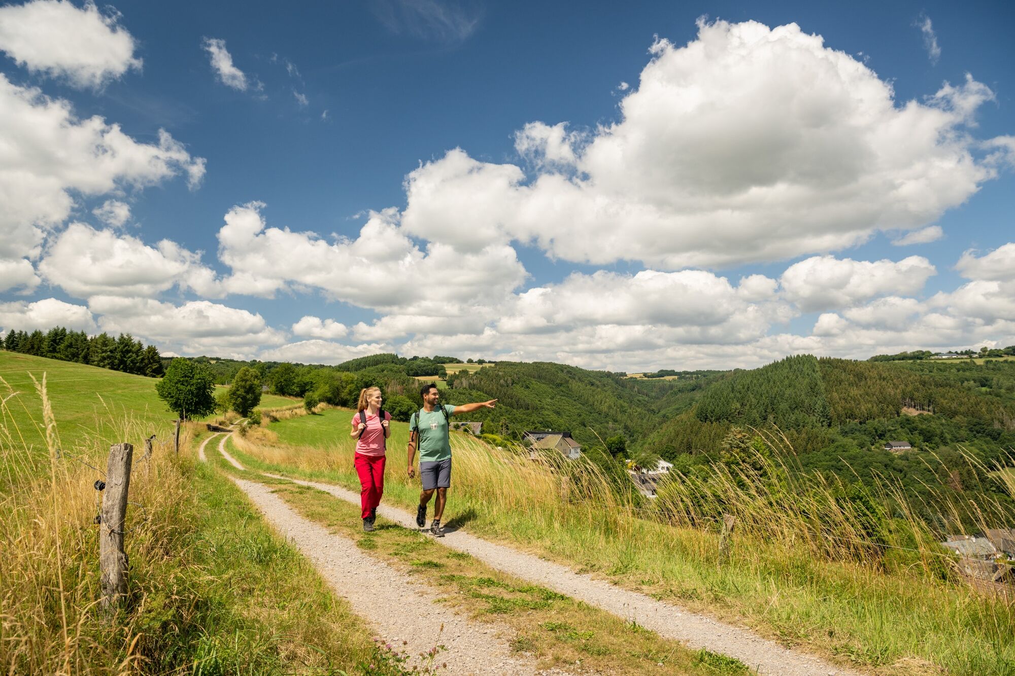
The Heckenlandroute leads you through varied green landscapes, both up and down. Walk in the valley along the Rur or enjoy the view of the Rur valley from high above. Pure nature through the mixed forests of the Eifel.
- Stopień trudności
-
średni
- Ocena
-
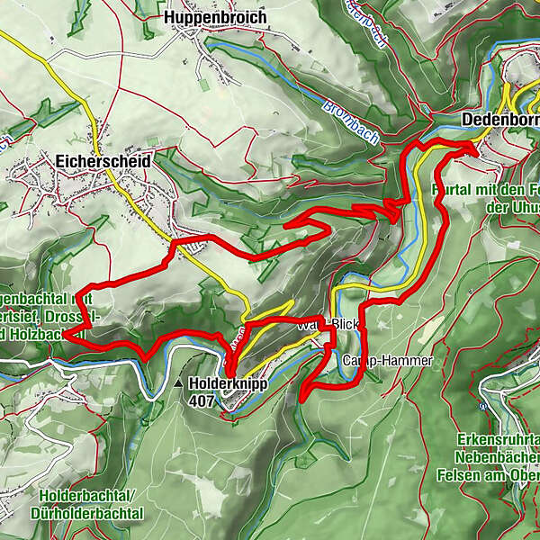
- Trasa
-
Am Rott0,5 kmIm Hölz0,9 kmIm Hölz1,1 kmBrommicher Auel4,0 kmDedenborn4,9 kmIn der Rinne6,9 kmHammer9,1 kmFinkenberg10,7 kmUhusley (375 m)11,7 kmUhusley12,0 kmStoltzenley12,1 kmWeimert13,7 kmMathaisheck13,9 kmAm Vordersten Fingert14,1 kmAm Loschberg14,1 km
- Najlepszy sezon
-
stylutmarkwimajczelipsiewrzpaźlisgru
- Najwyższy punkt
- 545 m
- Miejsce docelowe
-
Eicherscheid (crossing L106/Rott; at the end of Rott residential road)
- Profil wysokości
-
 © outdooractive.com

- Autor
-
Wycieczka Partner path of the Eifelsteig - Heckenland route jest używany przez outdooractive.com pod warunkiem.
GPS Downloads


Informacje ogólne
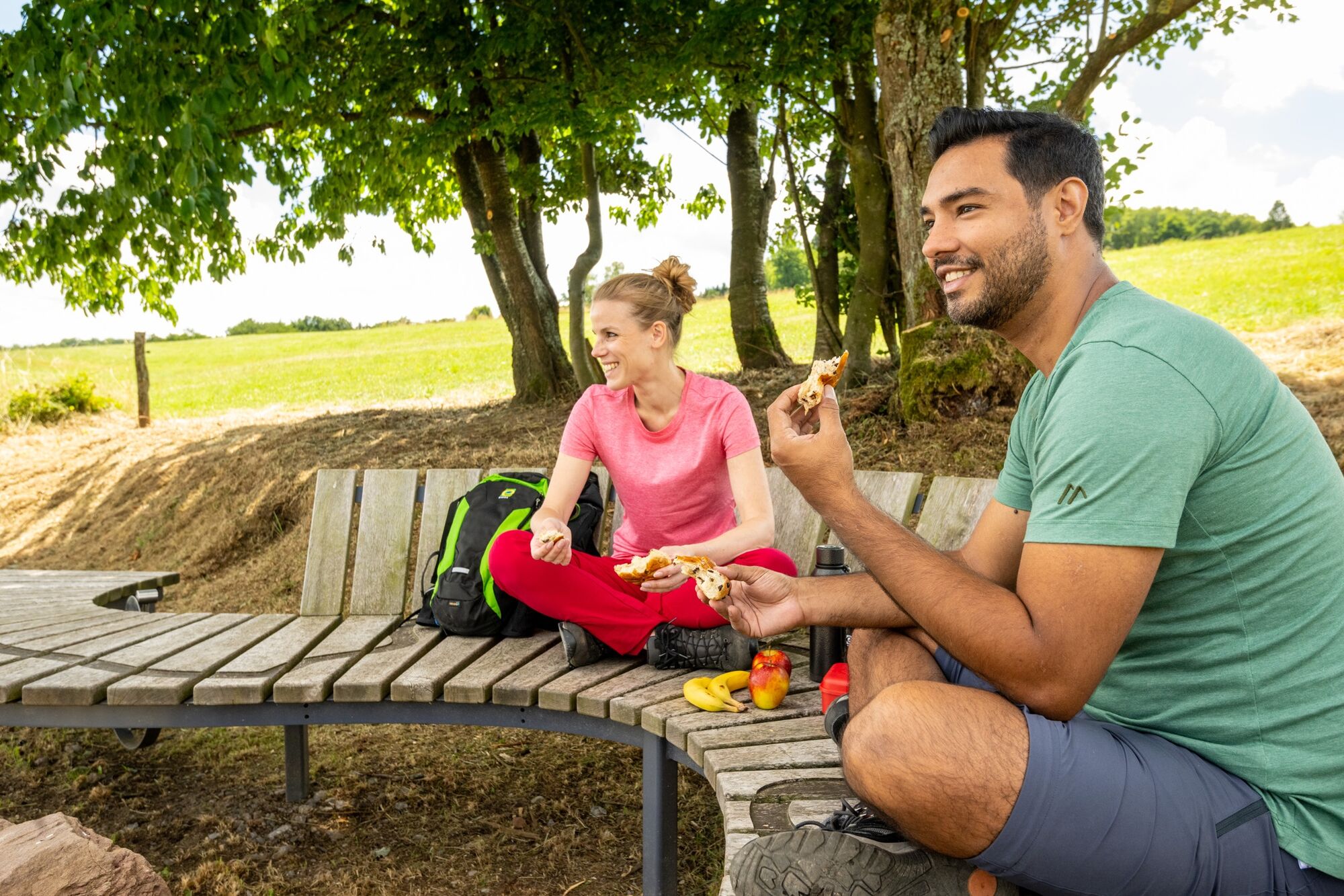
Przystanek odświeżania
Flora
Obiecujący
Więcej wycieczek w regionach
-
Eifel & Aachen
1426
-
Nordeifel
836
-
Simmerath-Rurberg
447