© Harz: Magische Gebirgswelt - Harzwasserwerke


Dane wycieczki
3,38km
566
- 594m
3hm
15hm
00:50h

- Krótki opis
-
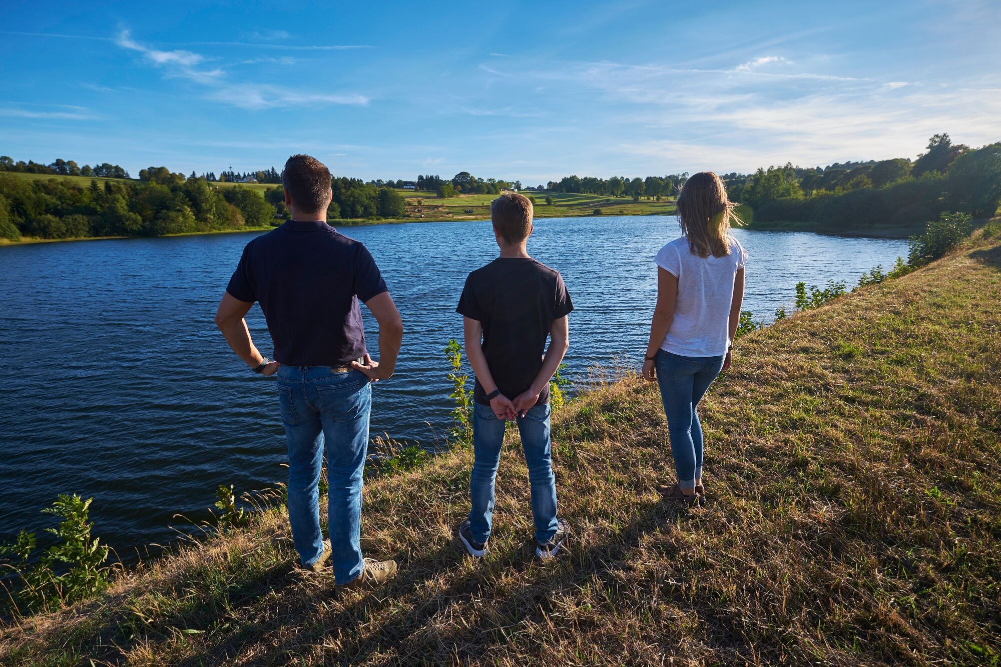
Hike from the Hirschler Teich pond around the Pfauenteich ponds. The ponds are located one above the other and were used as water storage ponds for mining in Clausthal.
- Stopień trudności
-
łatwe
- Ocena
-
- Trasa
-
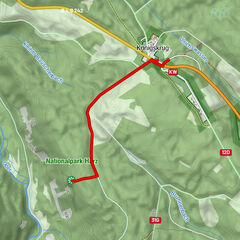
Clausthal-Zellerfeld (565 m)3,2 km
- Najlepszy sezon
-
stylutmarkwimajczelipsiewrzpaźlisgru
- Najwyższy punkt
- 594 m
- Miejsce docelowe
-
Altenauer Straße in Clausthal-Zellerfeld
- Profil wysokości
-
 © outdooractive.com


-

-
AutorWycieczka WatersideWalk Hischler-Pfauenteich Cascade of Ponds jest używany przez outdooractive.com pod warunkiem.
GPS Downloads


Informacje ogólne
Kulturalny/Historyczny
Więcej wycieczek w regionach
-
Der Harz/ Niedersachsen
1061
-
Oberharz
685
-
Clausthal-Zellerfeld
236