© ZWalk.at
© ZWalk.at
© ZWalk.at
Dane wycieczki
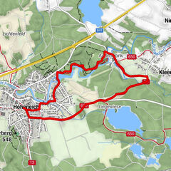
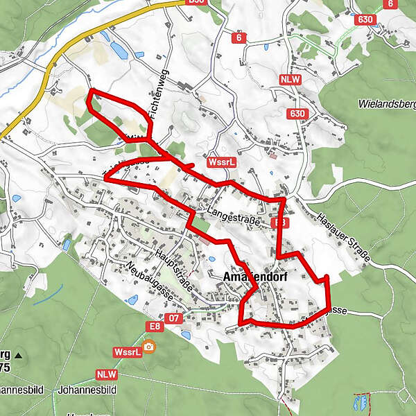
5,74km
545
- 568m
29hm
34hm
01:26h
- Krótki opis
-
Es hauptsächlich durch das Dorf.
- Stopień trudności
-
łatwe
- Ocena
-
- Punkt wyjścia
-
Amaliendorf
- Trasa
-
Amaliendorf (568 m)Tennisstüberl5,1 kmAmaliendorf (568 m)5,6 kmOrtskapelle Zur Himmelfahrt Unserer Lieben Frau5,6 km
- Najwyższy punkt
- 568 m


- Źródło
- ZWalk
GPS Downloads


Więcej wycieczek w regionach
-
Waldviertel
1776
-
Oberes Waldviertel
614
-
Amaliendorf - Aalfang
121