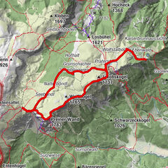
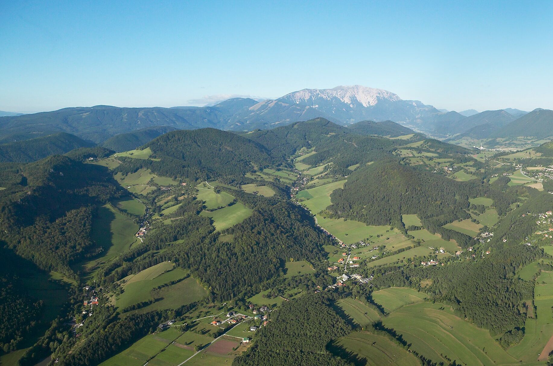
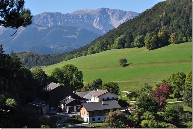
WAB - Regional Route S: Grünbacher Sattel - Gutenmann - Würflach

Wędrówka

© Wiener Alpen in Niederösterreich - Wiener Alpen / Franz Zwickl

© Wiener Alpen in Niederösterreich - Sophie Weinberger

© Wiener Alpen in Niederösterreich - Katrin Zeleny
© ©Gemeinde Schrattenbach
© Unbekannt - Mostheuriger Fam. Steurer

© ©Bwag_Commons, CC-BY 4.0

- Krótki opis
-
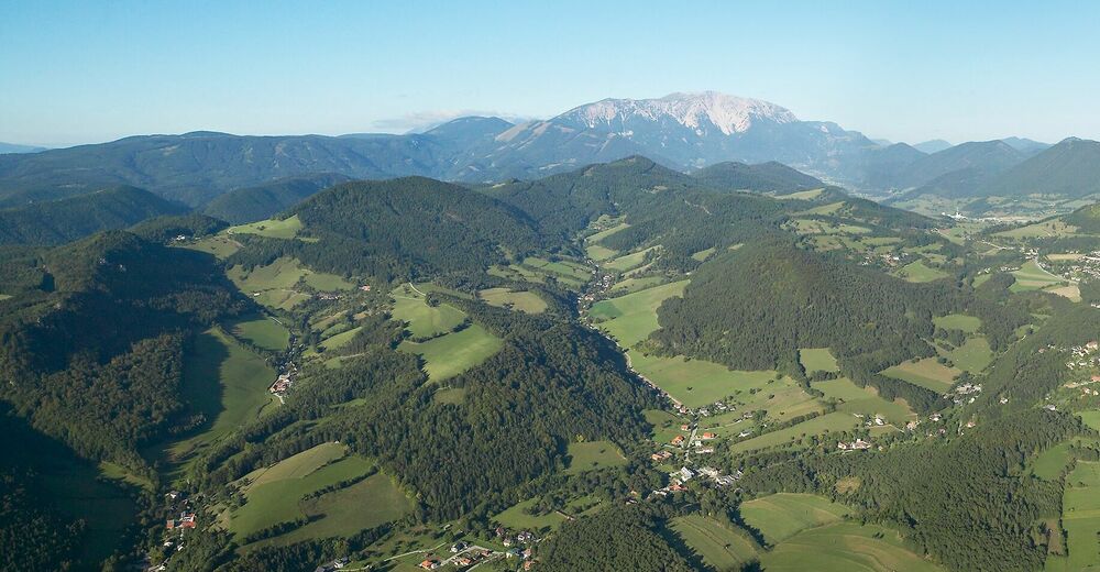
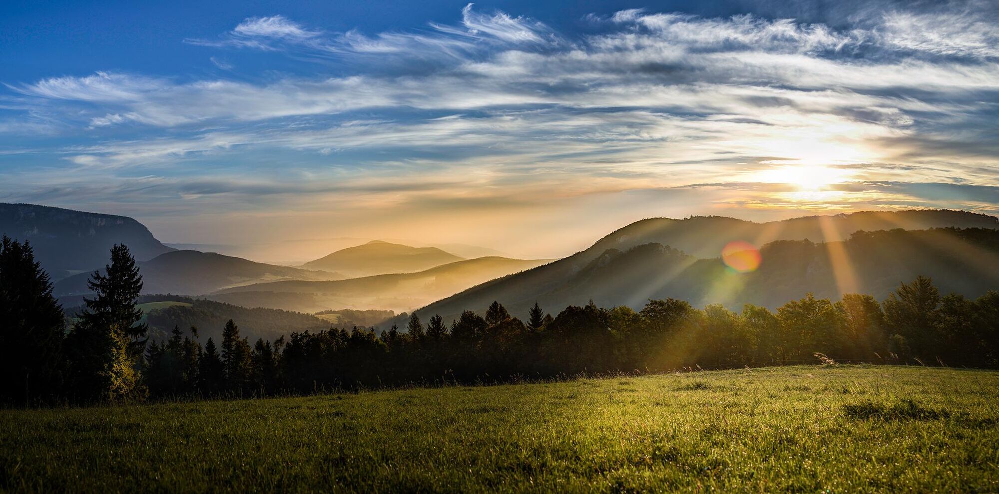
The first part of Regional Route S starts from Grünbacher Sattel, through the Johannesbachklamm ravine, to Würflach. The Regional Routes are part of the network of paths making up the Viennese Alps (WAB) route. Hikes along these routes lead you to unique views and also insights. The Regional Routes are linked to the network of paths making up the Viennese Alps route. This results in circular hikes in conjunction with the long-distance path.
- Stopień trudności
-
średni
- Ocena
-
- Trasa
-
Reitzenberg1,3 kmSteirer Hütt'n5,6 kmGreith10,2 kmKlammwirthöhle11,9 kmViehlucka12,5 kmKlammWirtin Schneebergland13,0 kmJohannesquelle13,4 km
- Najlepszy sezon
-
stylutmarkwimajczelipsiewrzpaźlisgru
- Najwyższy punkt
- 907 m
- Miejsce docelowe
-
Wellnesswelt Würflach car park
- Profil wysokości
-


- Autor
-
Wycieczka WAB - Regional Route S: Grünbacher Sattel - Gutenmann - Würflach jest używany przez outdooractive.com pod warunkiem.
GPS Downloads


Więcej wycieczek w regionach
-
Wiener Alpen
3048
-
Schneebergland - Wiener Alpen
2457
-
Schrattenbach
840