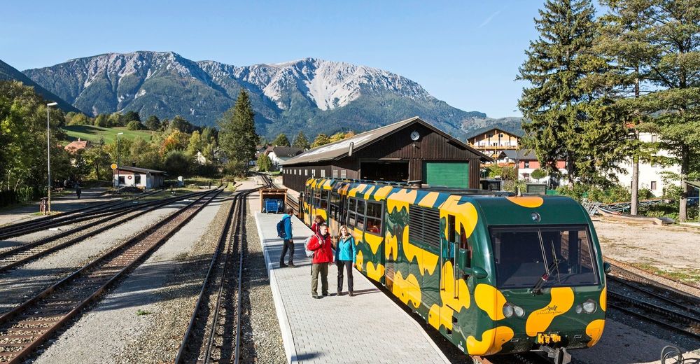
© ©NÖSBB, Foto: Franz Zwickl

© NÖSBB
© © Sebastian.Dietrich - Wiener Alpen in Niederösterreich Tourismus GmbH
© © Fotograf Roman Klementschitz, Wien - Wiener Alpen in Niederösterreich Tourismus GmbH
© Wiener Alpen in Niederösterreich - Sophie Weinberger
© Wiener Alpen in Niederösterreich - Sophie Weinberger
© Wiener Alpen in Niederösterreich - Sophie Weinberger
© Wiener Alpen in Niederösterreich - Sophie Weinberger
© Wiener Alpen in Niederösterreich - Sophie Weinberger
© Wiener Alpen in Niederösterreich - Sophie Weinberger
- Krótki opis
-
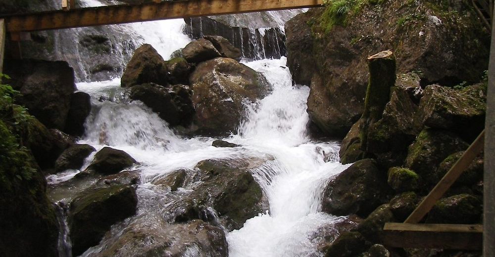
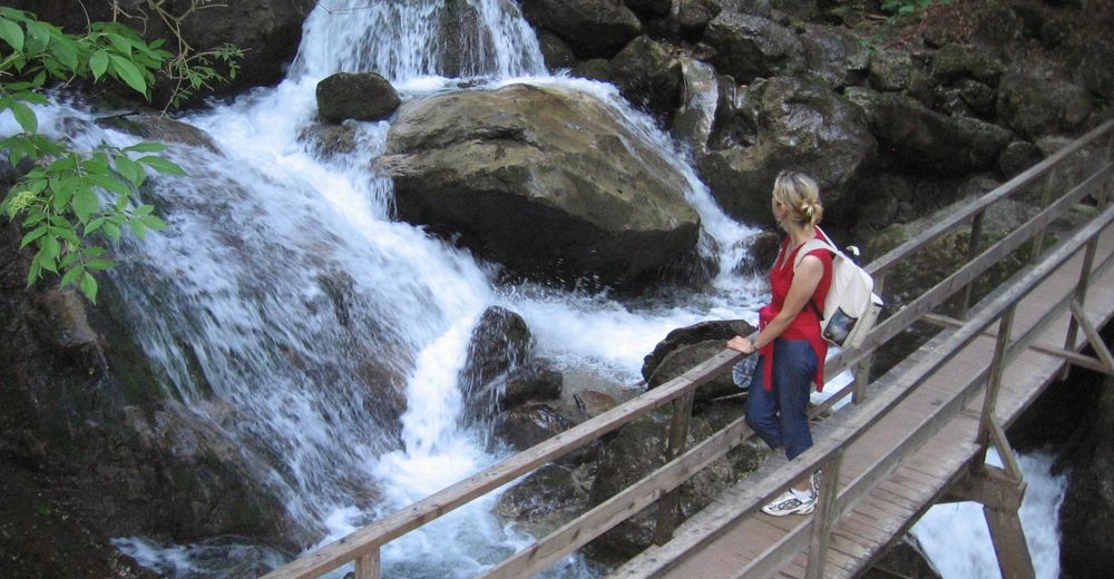
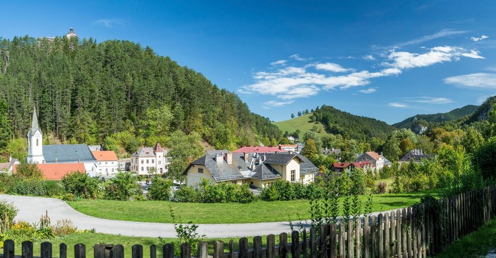
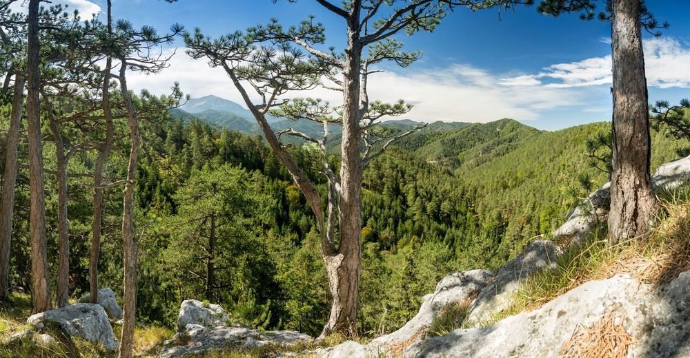
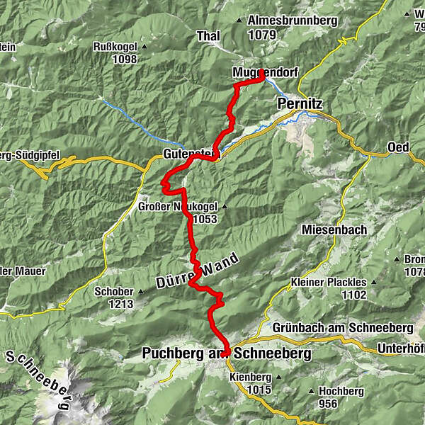
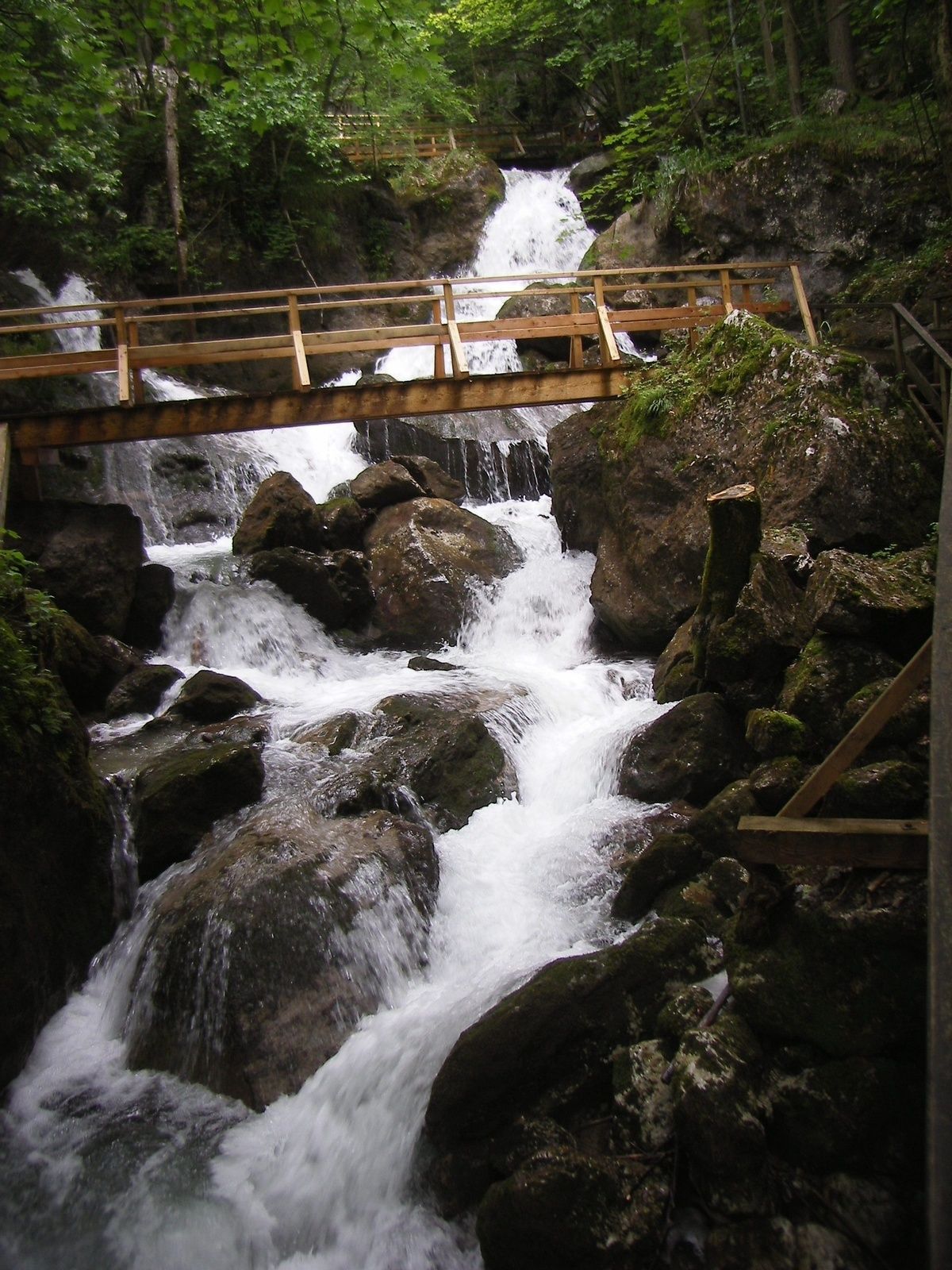
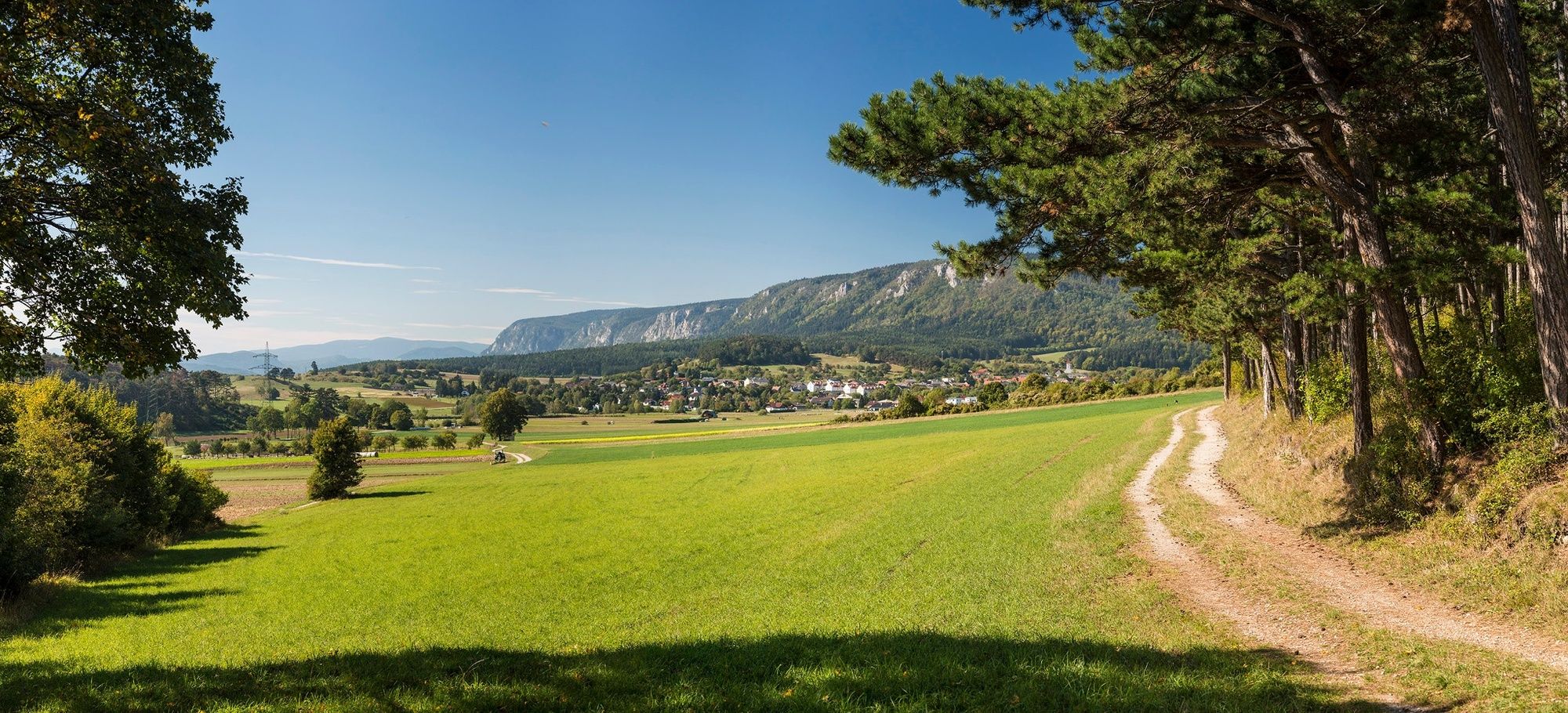
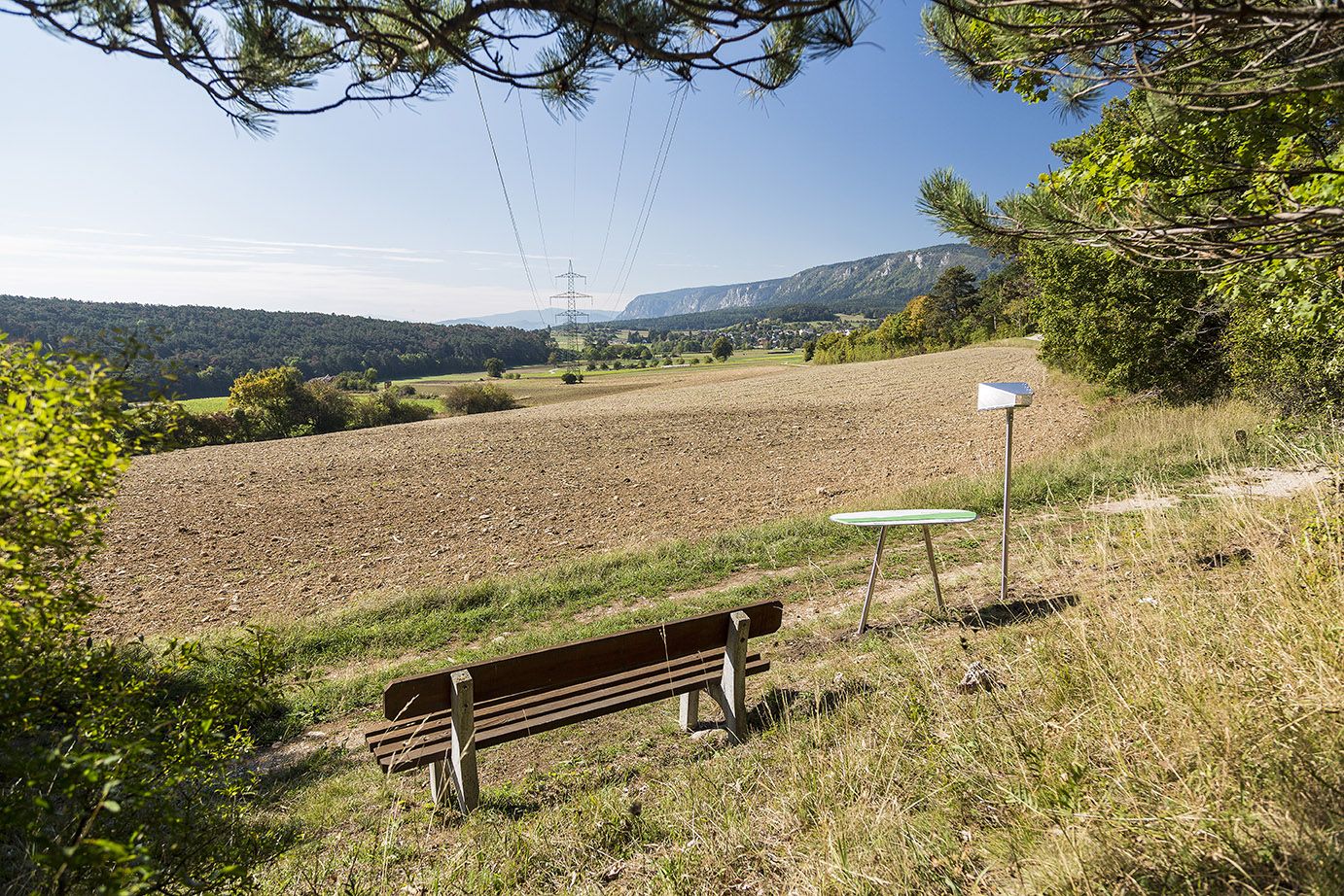
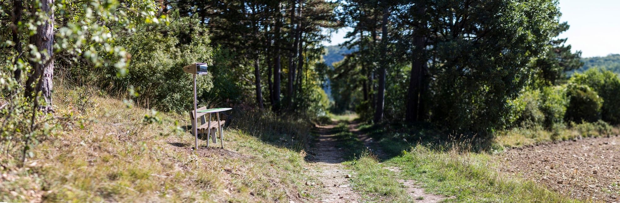
Regional Route Q takes in Gutenstein on the way to the romantic Myra Falls near Muggendorf. The Regional Routes are part of the network of paths making up the Viennese Alps (WAB) route. Hikes along these routes lead you to unique views and also insights. The Regional Routes are linked to the network of paths making up the Viennese Alps route. This results in circular hikes in conjunction with the long-distance path.
- Stopień trudności
-
średni
- Ocena
-
- Trasa
-
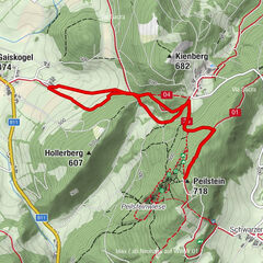
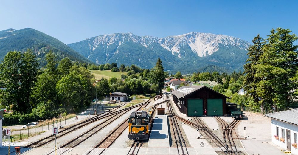
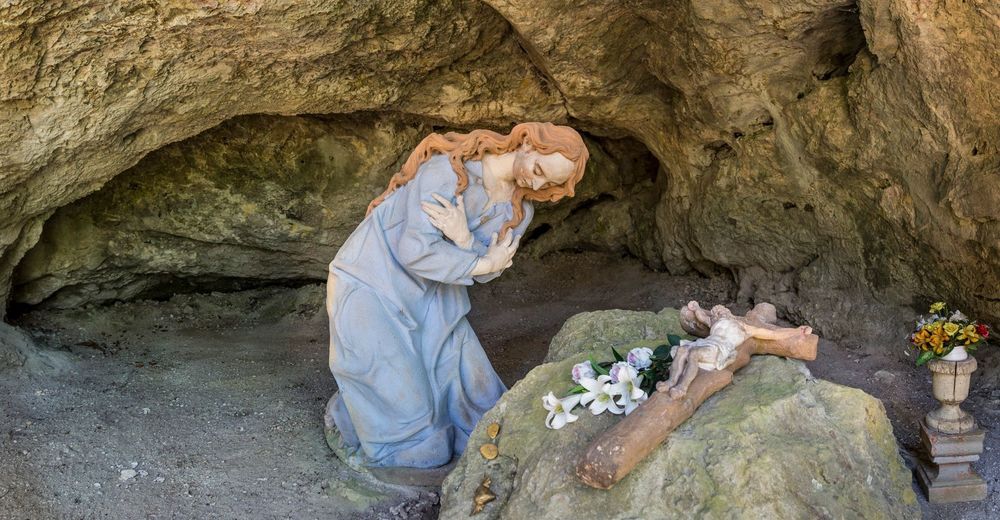
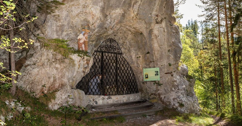
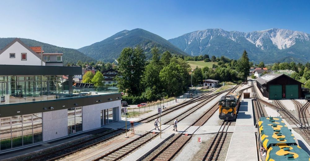
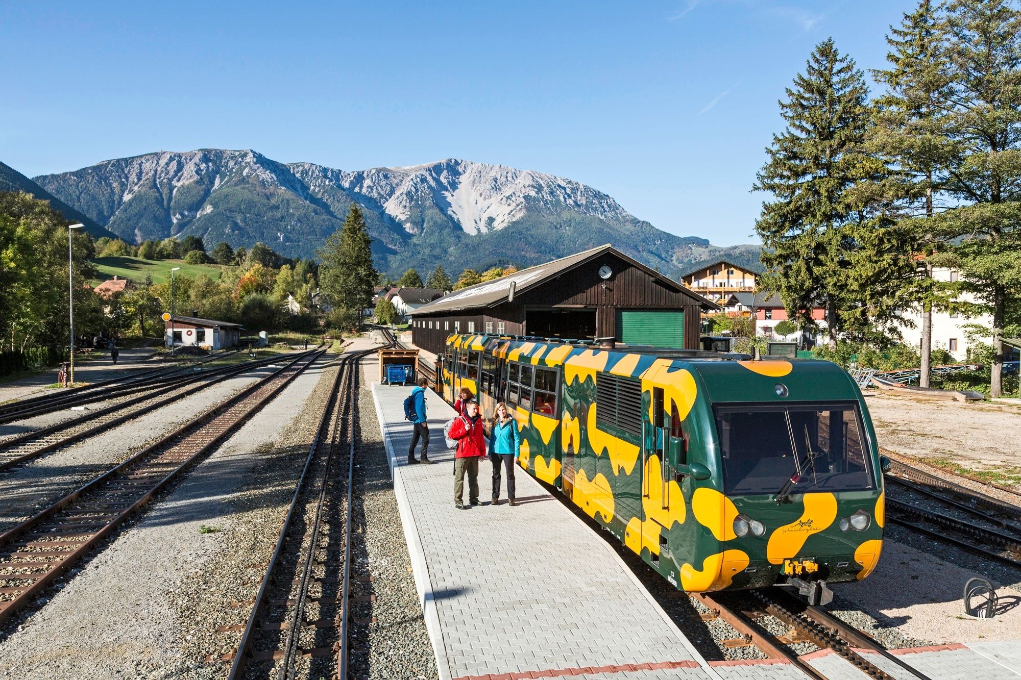
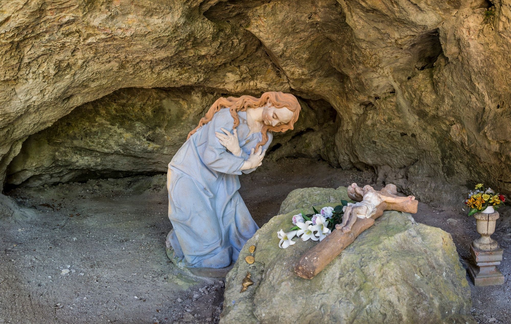
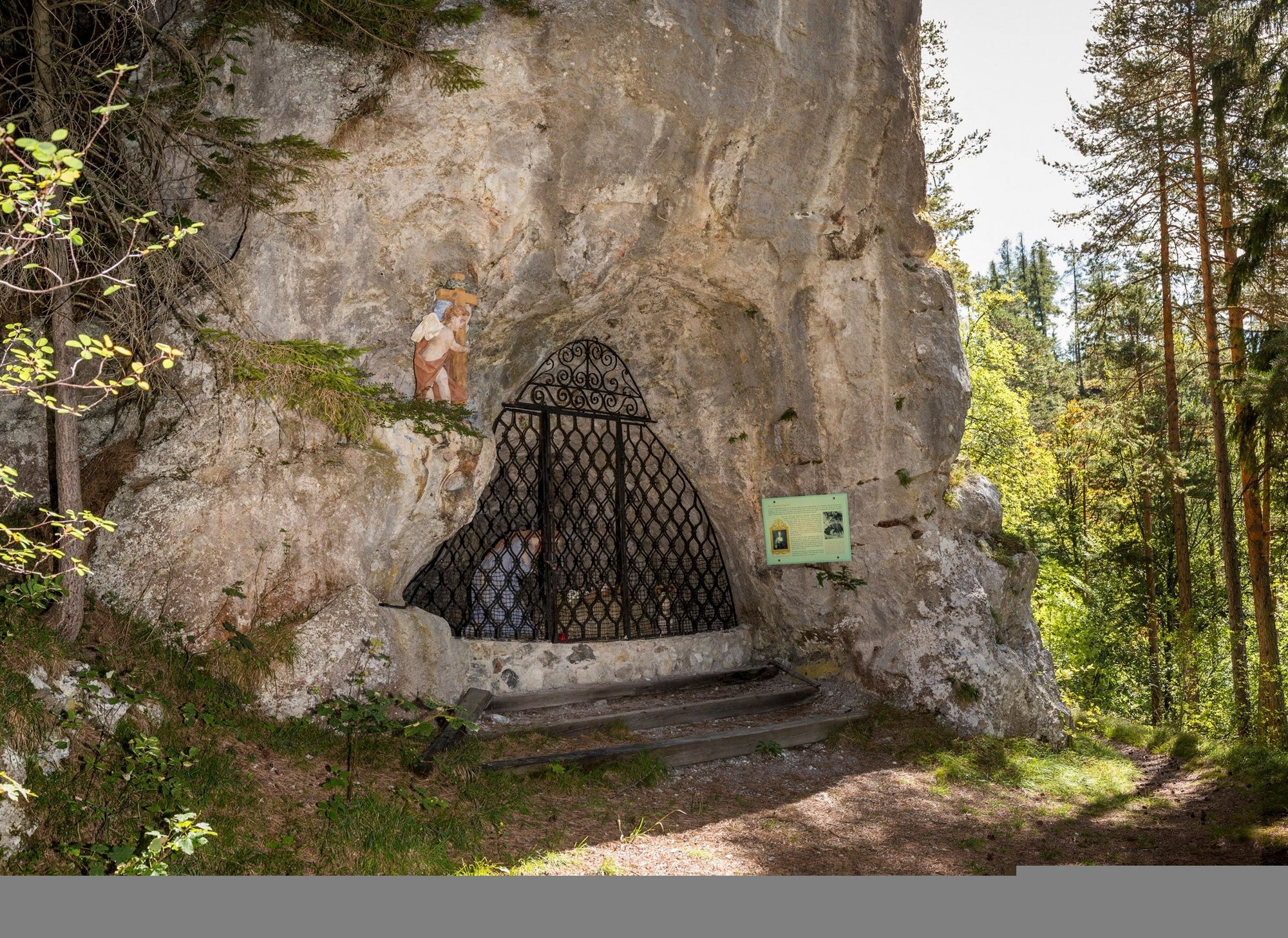
Puchberg am Schneeberg (577 m)0,0 kmPuchberg am Schneeberg0,2 kmSierning0,4 kmÖhlerschutzhaus5,6 kmBrandstätterhof9,7 kmLängapiesting10,0 kmMariahilfberg13,4 kmGutenstein14,6 kmKegelbahn14,9 kmFerdinand-Raimund-Kapelle15,4 kmLuftschutzstollen15,5 kmChristusgrotte15,6 kmVorderbruck16,2 kmPurbach21,4 kmMuggendorf22,1 km
- Najlepszy sezon
-
stylutmarkwimajczelipsiewrzpaźlisgru
- Najwyższy punkt
- 1.021 m
- Miejsce docelowe
-
Myra Falls car park
- Profil wysokości
-


- Autor
-
Wycieczka WAB - Regional Route Q: Puchberg - Muggendorf jest używany przez outdooractive.com pod warunkiem.
GPS Downloads


Informacje ogólne
Przystanek odświeżania
Obiecujący
Więcej wycieczek w regionach
-
Wienerwald
4219
-
Schneebergland - Wiener Alpen
2457
-
Gutenstein
701