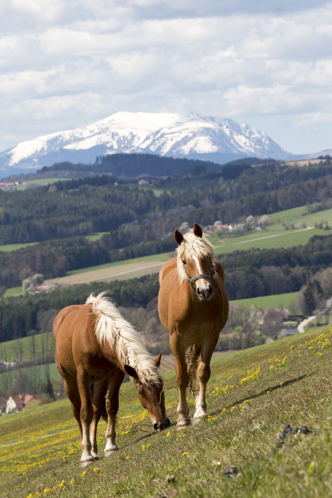
© © Wiener Alpen in NÖ Tourismus GmbH, Foto: Andreas Kranzmayer - Wiener Alpen in Niederösterreich Tourismus GmbH

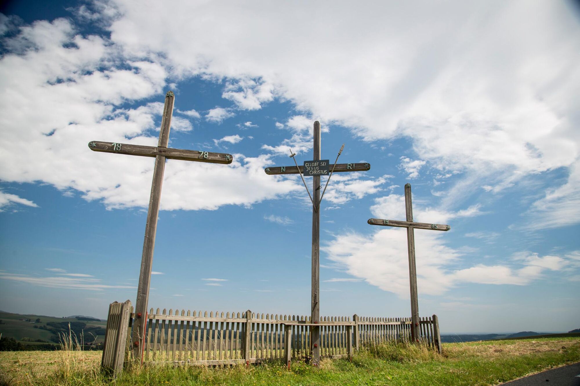
© ©Niederoesterreich-Werbung, Foto: Rita Newman - Wiener Alpen in Niederösterreich

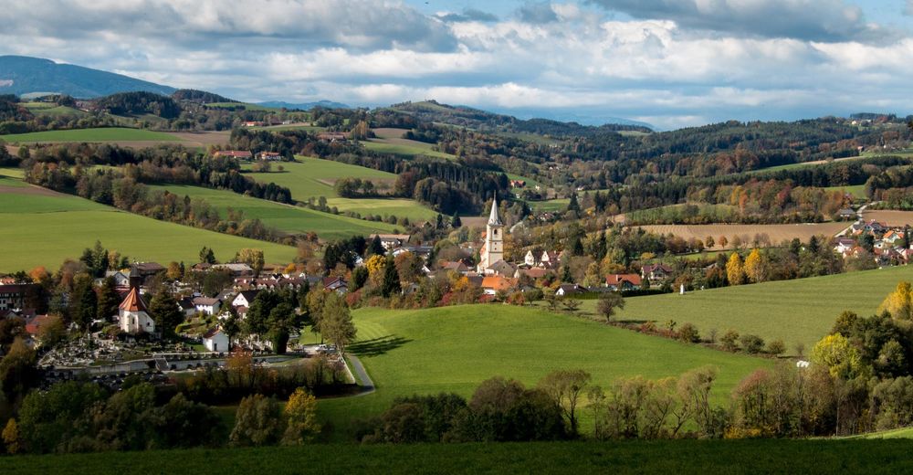
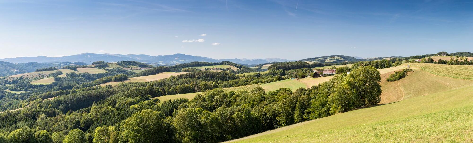
© Wiener Alpen in Niederösterreich - Sophie Weinberger
© Wiener Alpen in Niederösterreich - Sophie Weinberger
© Wiener Alpen in Niederösterreich - Sophie Weinberger
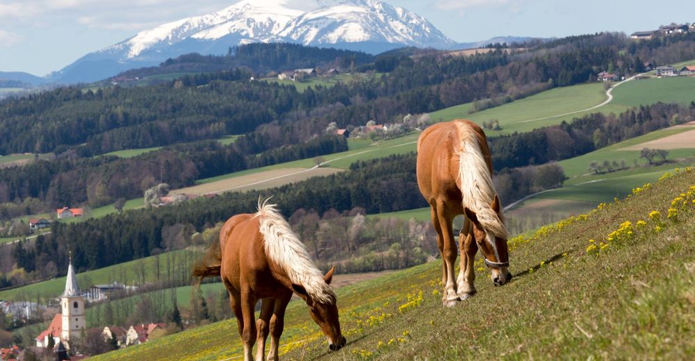
© Wiener Alpen in Niederösterreich - Katrin Zeleny

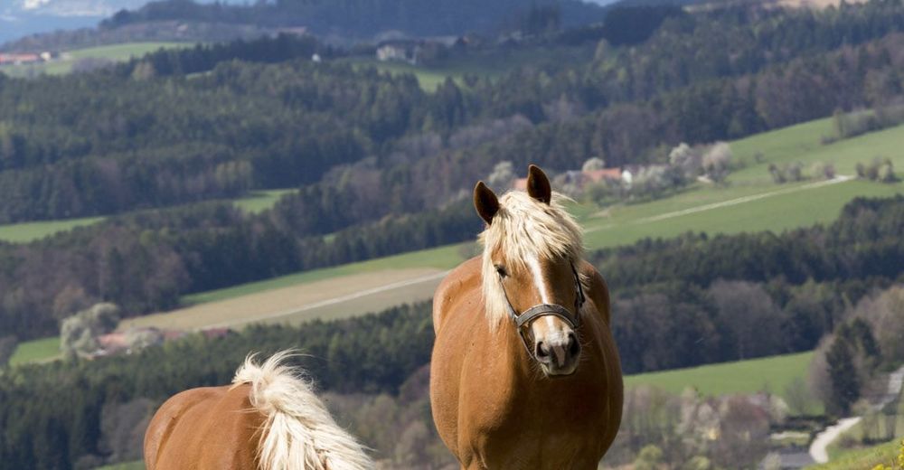
© Wiener Alpen in Niederösterreich - Katrin Zeleny
© Wiener Alpen in Niederösterreich - Katrin Zeleny
© Wiener Alpen in Niederösterreich - Katrin Zeleny
- Krótki opis
-
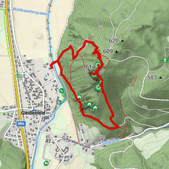
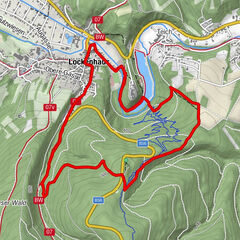
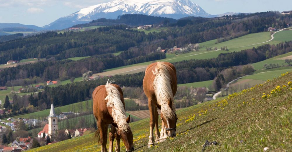
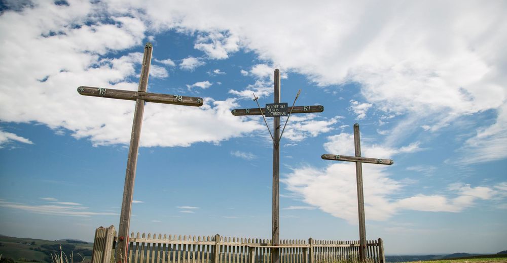
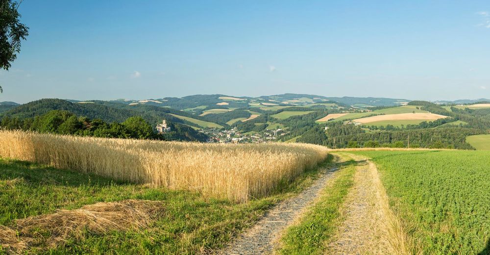
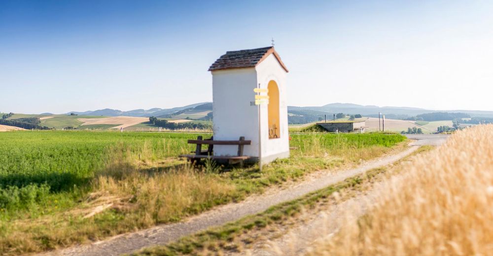
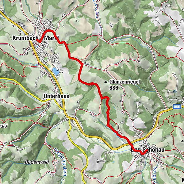
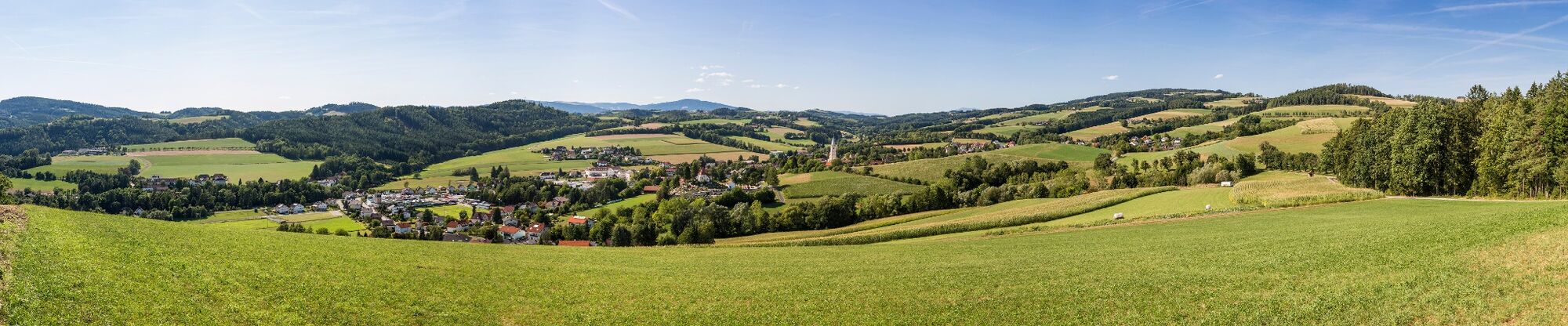
Regional Route D is a pleasant hike through the cultivated landscapes of the Bucklige Welt. The Regional Routes are part of the network of paths making up the Viennese Alps (WAB) route. Hikes along these routes lead you to unique views and also insights. The Regional Routes are linked to the network of paths making up the Viennese Alps route. This results in circular hikes in conjunction with the long-distance path.
- Stopień trudności
-
łatwe
- Ocena
-
- Trasa
-
Bad SchönauÖdhöfen0,9 kmTriad0,9 kmRosenkranzkapelle4,7 kmKrumbach - Markt6,0 km
- Najlepszy sezon
-
stylutmarkwimajczelipsiewrzpaźlisgru
- Najwyższy punkt
- 626 m
- Miejsce docelowe
-
Krumbach municipal office, in the town centre
- Profil wysokości
-


- Autor
-
Wycieczka WAB - Regional Route D: Bad Schönau - Krumbach jest używany przez outdooractive.com pod warunkiem.
GPS Downloads


Informacje ogólne
Przystanek odświeżania
Obiecujący
Więcej wycieczek w regionach
-
Wiener Alpen
3036
-
Bucklige Welt - Wiener Alpen
793
-
Bad Schönau
189