WAB - Regional Route A: Katzelsdorf - Lanzenkirchen - Bad Erlach

Wędrówka
© ©Marktgemeinde Bad Erlach - Wiener Alpen in Niederösterreich
© © Wiener Alpen in Niederösterreich, Fotograf: Alois Rasinger - Wiener Alpen in Niederösterreich Tourismus GmbH
© ©Wolfgang Glock, CC BY 3.0

© ©Linsberg Asia

© ©Linsberg Asia

© ©Linsberg Asia
- Krótki opis
-
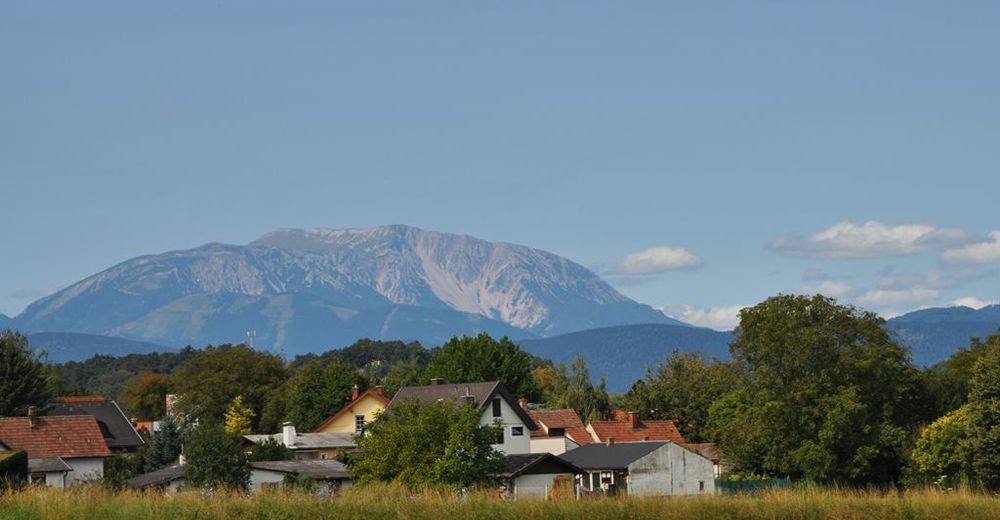
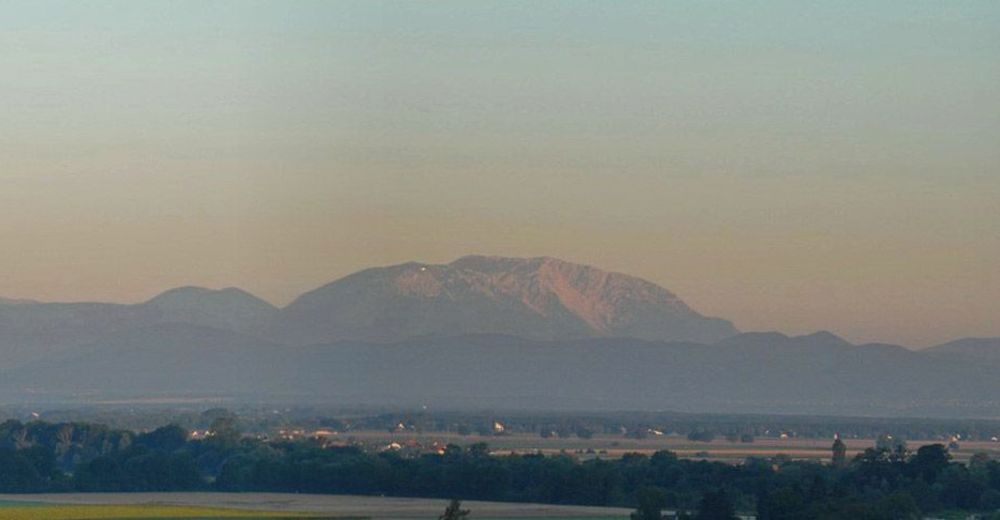
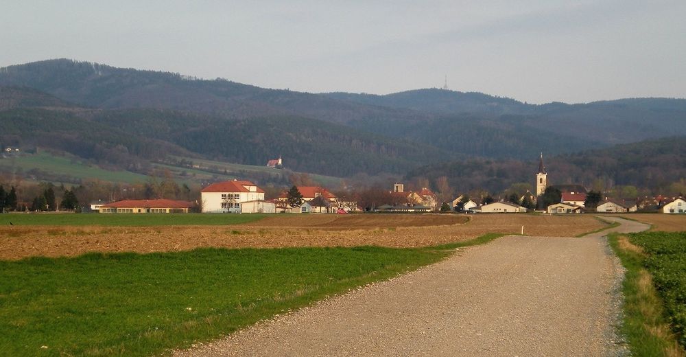
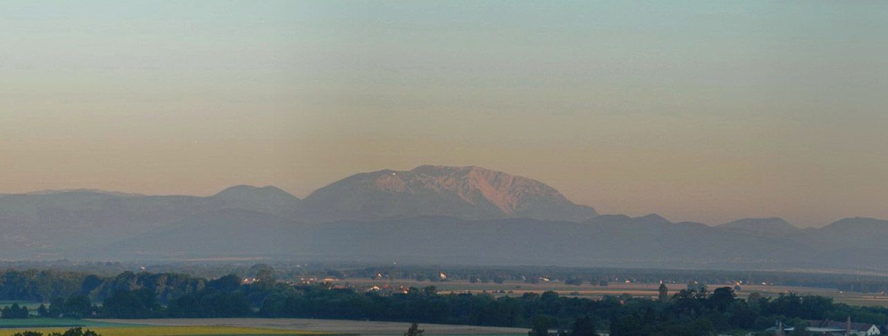
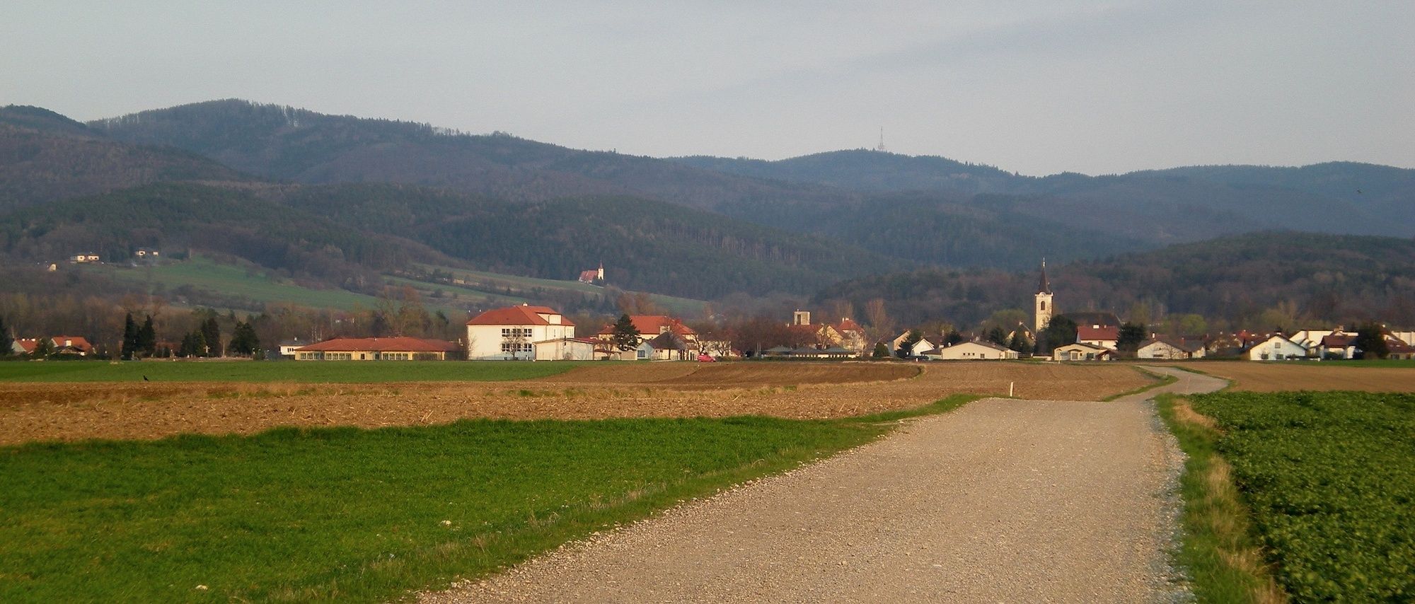
Regional Route A follows the Leitha river back to its source, the confluence of the Schwarza and Pitten rivers, and provides interesting views of the Schneeberg. The Regional Routes are part of the network of paths making up the Viennese Alps (WAB) route. Hikes along these routes lead you to unique views and also insights. The Regional Routes are linked to the network of paths making up the Viennese Alps route. This results in circular hikes in conjunction with the long-distance path.
- Stopień trudności
-
łatwe
- Ocena
-
- Trasa
-
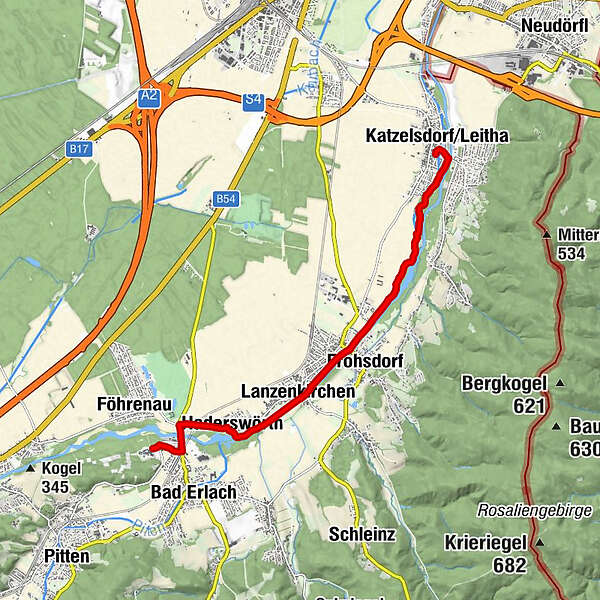
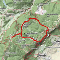
Katzelsdorf/Leitha0,1 kmNepomukkapelle0,3 kmScheibel Au2,2 kmFrohsdorf4,3 kmKlein Wolkersdorf4,5 kmLanzenkirchen5,1 kmHaderswörth6,2 kmLeithaursprung6,6 kmMühlendorfer6,9 kmKapelle6,9 km
- Najlepszy sezon
-
stylutmarkwimajczelipsiewrzpaźlisgru
- Najwyższy punkt
- 310 m
- Miejsce docelowe
-
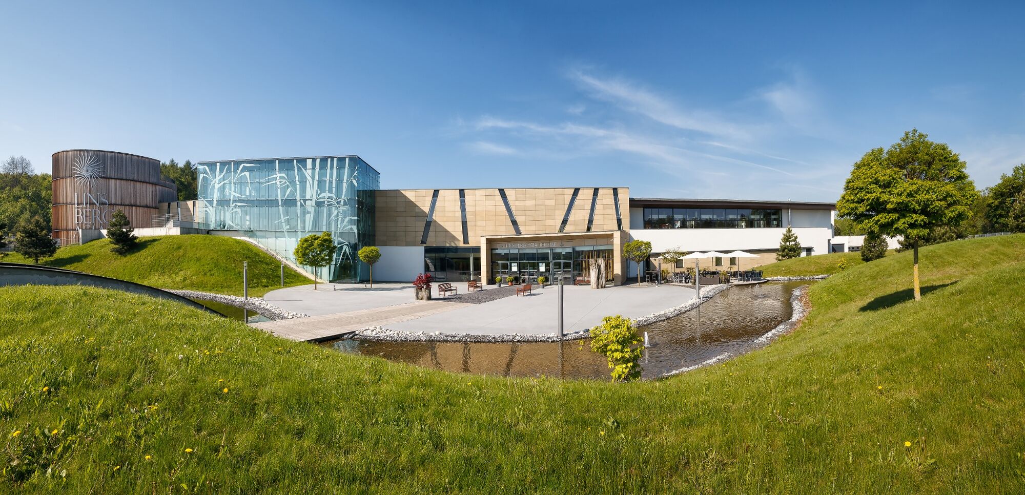
Bad Erlach Linsberg Asia Therme
- Profil wysokości
-


- Autor
-
Wycieczka WAB - Regional Route A: Katzelsdorf - Lanzenkirchen - Bad Erlach jest używany przez outdooractive.com pod warunkiem.
GPS Downloads


Informacje ogólne
Przystanek odświeżania
Obiecujący
Więcej wycieczek w regionach
-
Wiener Alpen
3048
-
Wechselland - Wiener Alpen
1704
-
Lanzenkirchen
349


")


