© Wienerwald Tourismus GmbH / Christoph Kerschbaum
- Krótki opis
-
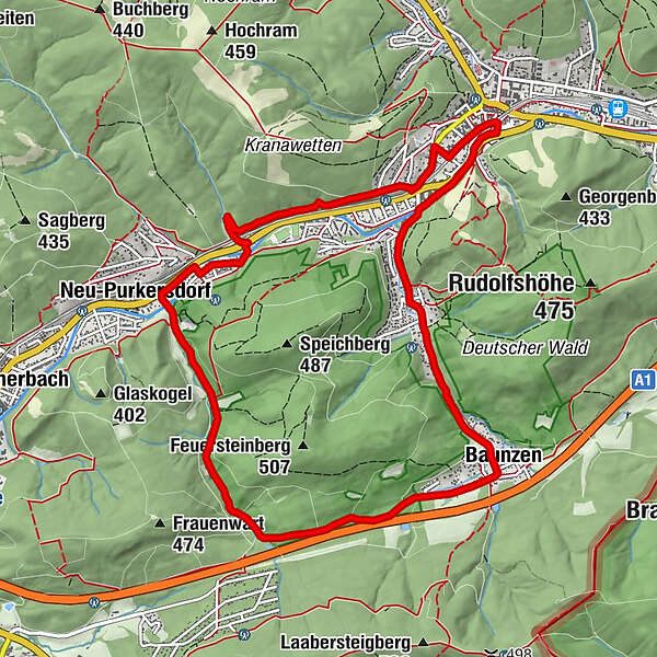
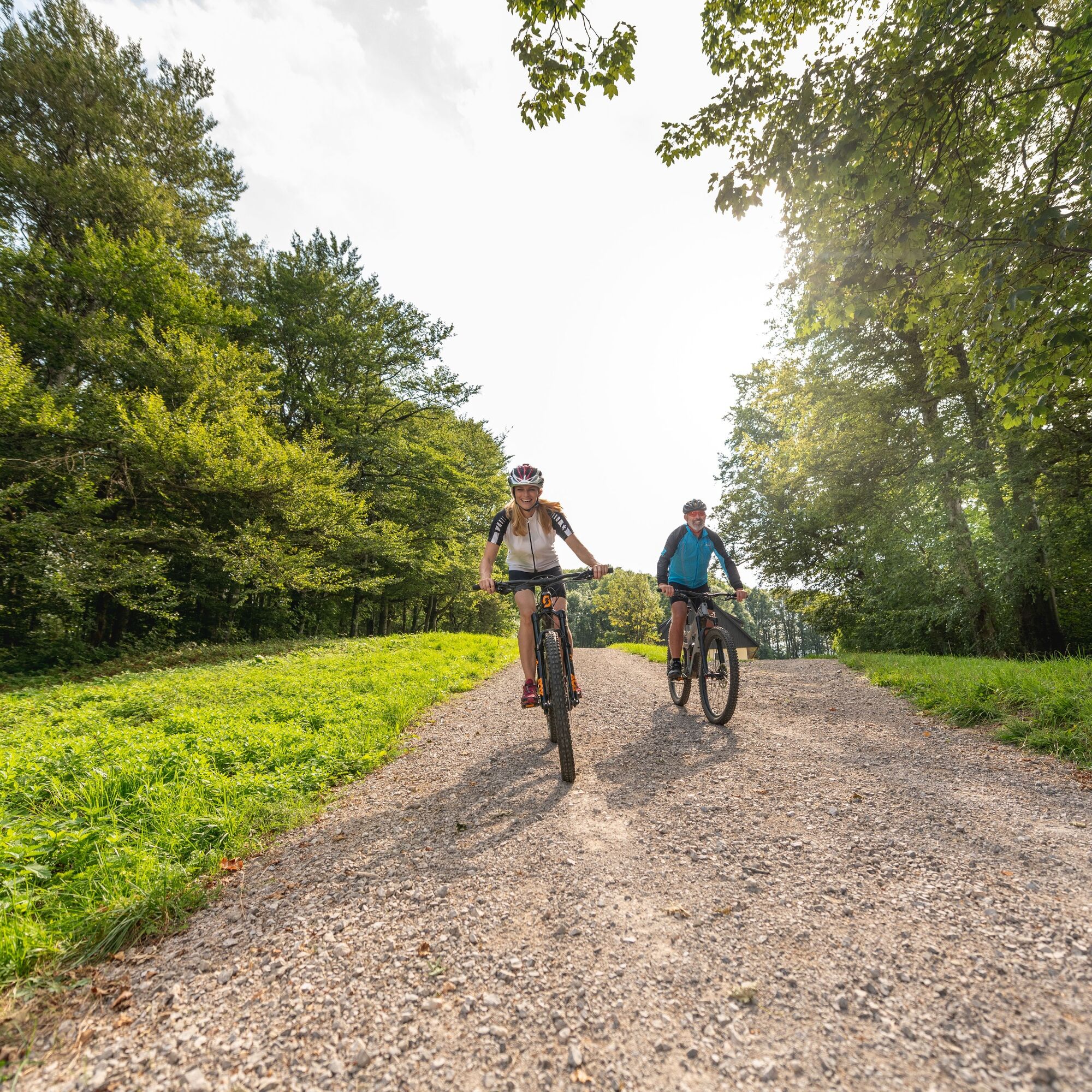
Die leichte Familientour kann mit der Besteigung des Feuersteins im Deutschwald und einem Besuch des Naturparks Purkersdorf-Sandstein aufgepeppt werden. So wird aus dem kurzen Bike- ein tagfüllendes Hike Erlebnis inklusive Reh- und Wildschweinkontakt.
- Stopień trudności
-
łatwe
- Ocena
-
- Trasa
-
Purkersdorf (248 m)0,2 kmRechenfeld1,1 kmGasthof Forthofer3,1 kmPostsiedlung3,5 kmNeu-Purkersdorf4,0 kmBaunzen8,2 kmHubertuskapelle9,5 kmDeutschwald9,5 kmKlugmayer9,8 kmRechenfeld10,3 kmPurkersdorf (248 m)11,3 km
- Najlepszy sezon
-
stylutmarkwimajczelipsiewrzpaźlisgru
- Najwyższy punkt
- 362 m
- Miejsce docelowe
-
Purkersdorf
- Profil wysokości
-

- Autor
-
Wycieczka Dambach-Strecke jest używany przez outdooractive.com pod warunkiem.
GPS Downloads


Informacje ogólne
Przystanek odświeżania
Więcej wycieczek w regionach
-
Wienerwald
284
-
Wien und Umgebung
206
-
Purkersdorf
119