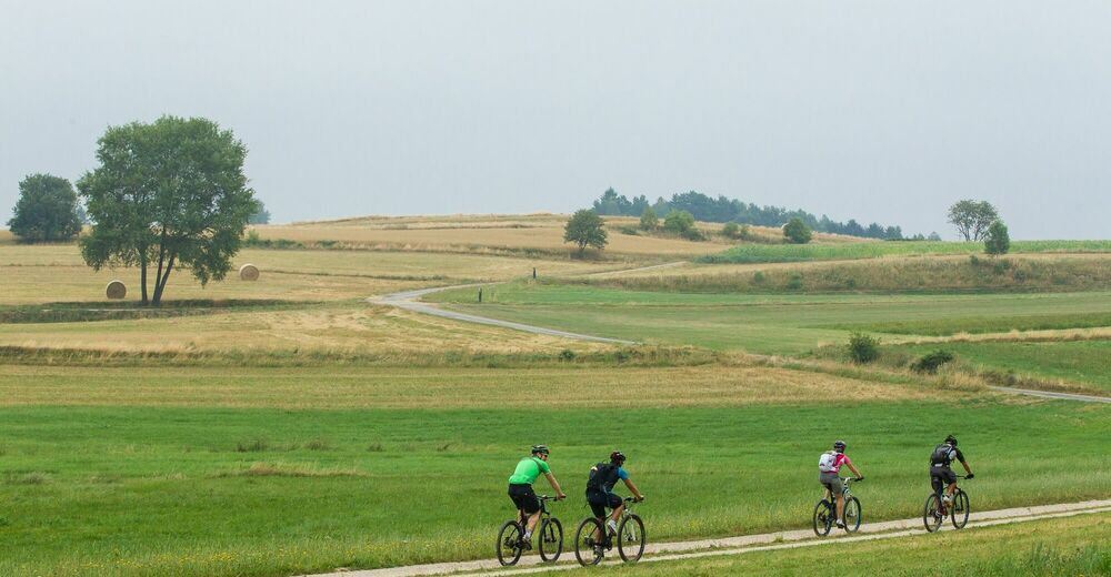
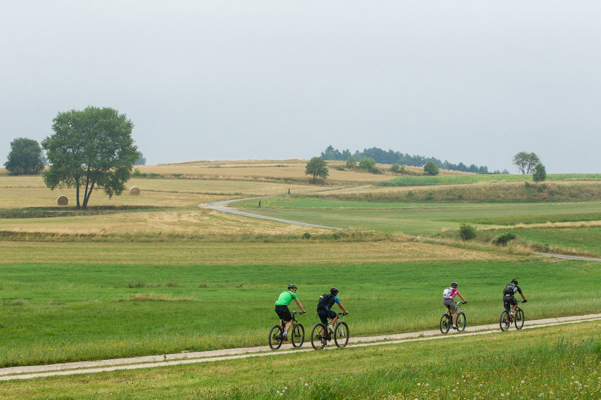
© © Waldviertel Tourismus, Erwin Haiden, nyx.at - Destination Waldviertel

- Krótki opis
-
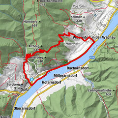
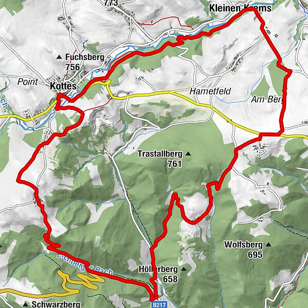
Kottes - Marbach a. d. kl. Krems - Trittings - Eichberg - Münichreith - Kottes
- Stopień trudności
-
średni
- Ocena
-
- Trasa
-
KottesMarbach an der Kleinen Krems3,9 kmPlaninz4,2 kmKoppenhof4,7 kmKalkgruber Graben4,9 kmTrittings6,8 kmKapellenbreiten7,1 kmPfarrberg7,9 kmFohra9,1 kmEichberg11,5 kmMünichreith15,5 kmHubertuskapelle17,2 kmKottes18,5 km
- Najlepszy sezon
-
stylutmarkwimajczelipsiewrzpaźlisgru
- Najwyższy punkt
- 811 m
- Miejsce docelowe
-
Kottes
- Profil wysokości
-

- Autor
-
Wycieczka Kleine Kremstal-Strecke jest używany przez outdooractive.com pod warunkiem.
GPS Downloads


Informacje ogólne
Wskazówka dla osób mających dostęp do poufnych informacji
Więcej wycieczek w regionach
-
Donau Niederösterreich
151
-
Waldviertel Mitte
101
-
Kottes-Purk
32