© Mostviertel - Wolfgang Wutzl
- Krótki opis
-
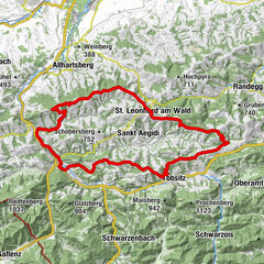
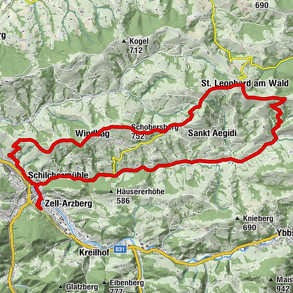
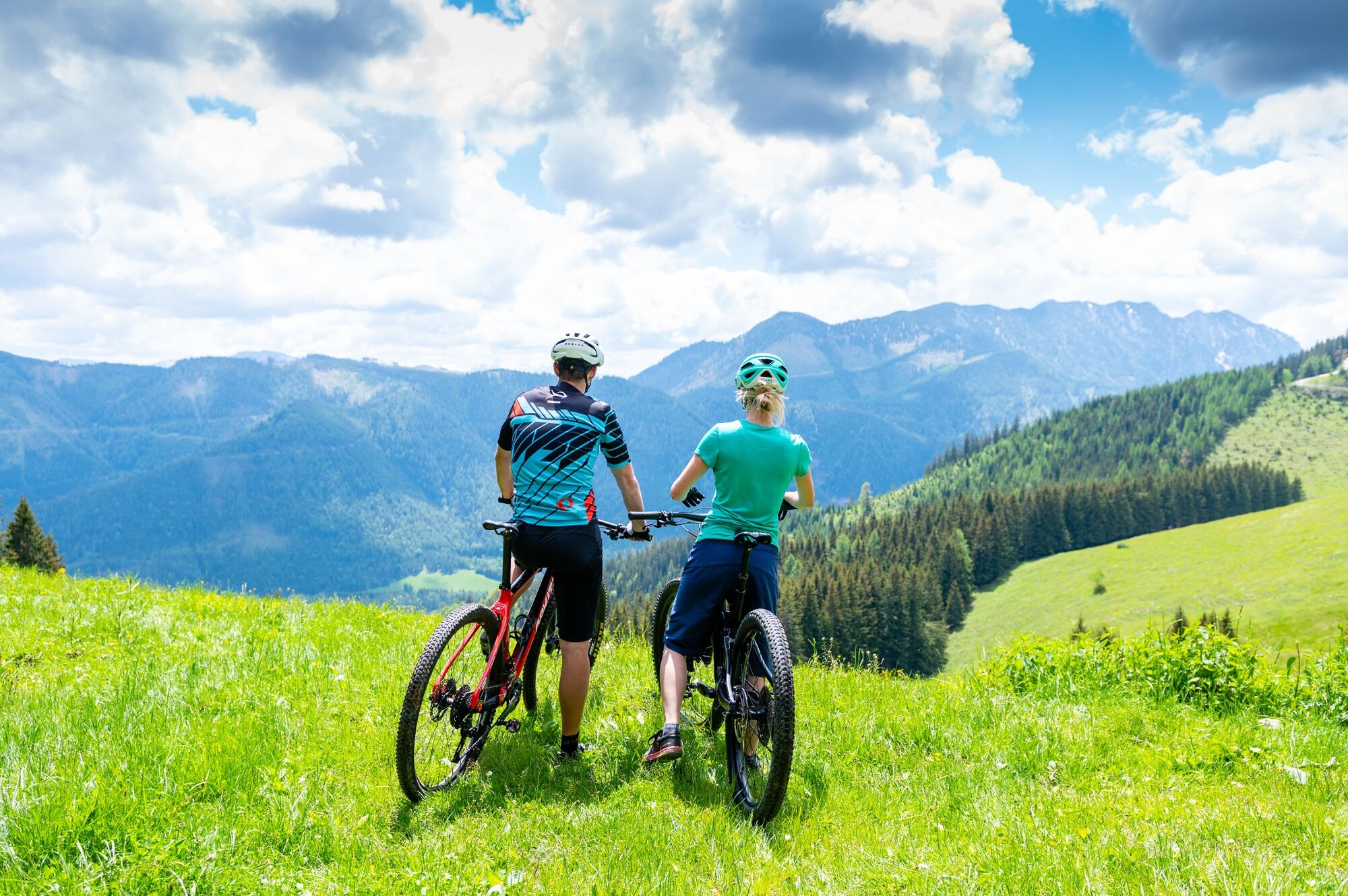
Schöne Rundtour um Waidhofen mit toller Aussicht.
- Stopień trudności
-
średni
- Ocena
-
- Trasa
-
Zeller Kirche0,5 kmZell an der Ybbs0,6 kmWaidhofen an der Ybbs0,9 kmUnterzell1,8 kmKronhobl4,0 kmGschnoatahöhe6,0 kmPfarrkirche hl. Nikolaus6,9 kmWindhag6,9 kmWindhager Wirt6,9 kmSchobersberg (752 m)8,1 kmGasthof & Konditorei Fam. Ettel13,3 kmSt. Leonhard am Wald13,5 kmLeonhardihof13,5 kmPanoramagucker Höhenweg14,8 kmPutzmühle17,6 kmSchilchermühle24,4 kmSchilchermühle26,1 kmWaidhofen an der Ybbs27,1 kmZeller Kirche27,4 kmZell an der Ybbs27,4 km
- Najlepszy sezon
-
stylutmarkwimajczelipsiewrzpaźlisgru
- Najwyższy punkt
- 749 m
- Miejsce docelowe
-
Waidhofen, Lokalbahnhof
- Profil wysokości
-

- Autor
-
Wycieczka Schobersberg-Strecke jest używany przez outdooractive.com pod warunkiem.
GPS Downloads


Informacje ogólne
Przystanek odświeżania
Obiecujący
Więcej wycieczek w regionach