© Wachau-Nibelungengau-Kremstal - Donau Niederösterreich, Doris Schwarz-König

© Wachau-Nibelungengau-Kremstal - Doris Schwarz-König

© Wachau-Nibelungengau-Kremstal - Martina Siebenhandl

© Wachau-Nibelungengau-Kremstal - Doris Schwarz-König

© Donau Niederösterreich - Donau Niederösterreich, Doris Schwarz-König

© Wachau-Nibelungengau-Kremstal - Robert Herbst

© Wachau-Nibelungengau-Kremstal - Doris Schwarz-König

© Wachau-Nibelungengau-Kremstal - Doris Schwarz-König

© Wachau-Nibelungengau-Kremstal - Doris Schwarz-König

© Wachau-Nibelungengau-Kremstal - Daniela Matejschek

- Krótki opis
-
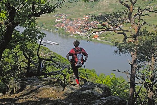
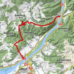
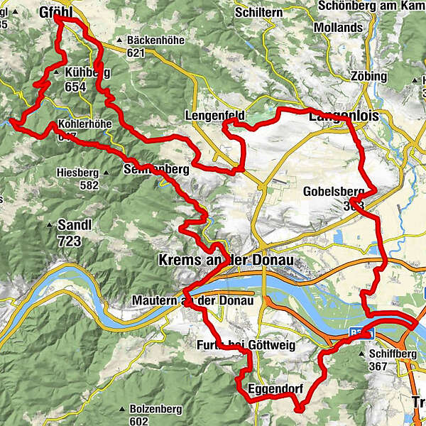
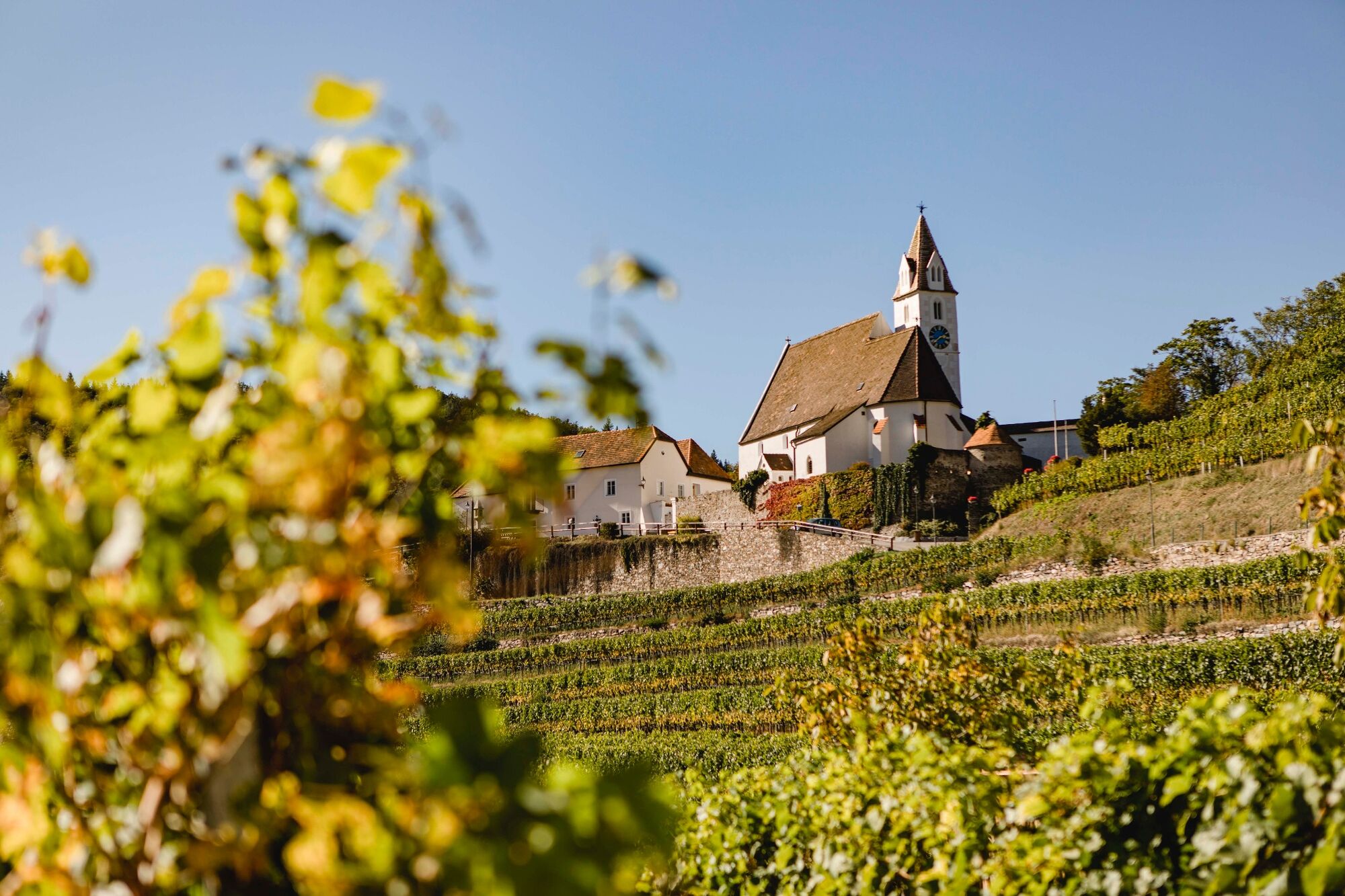
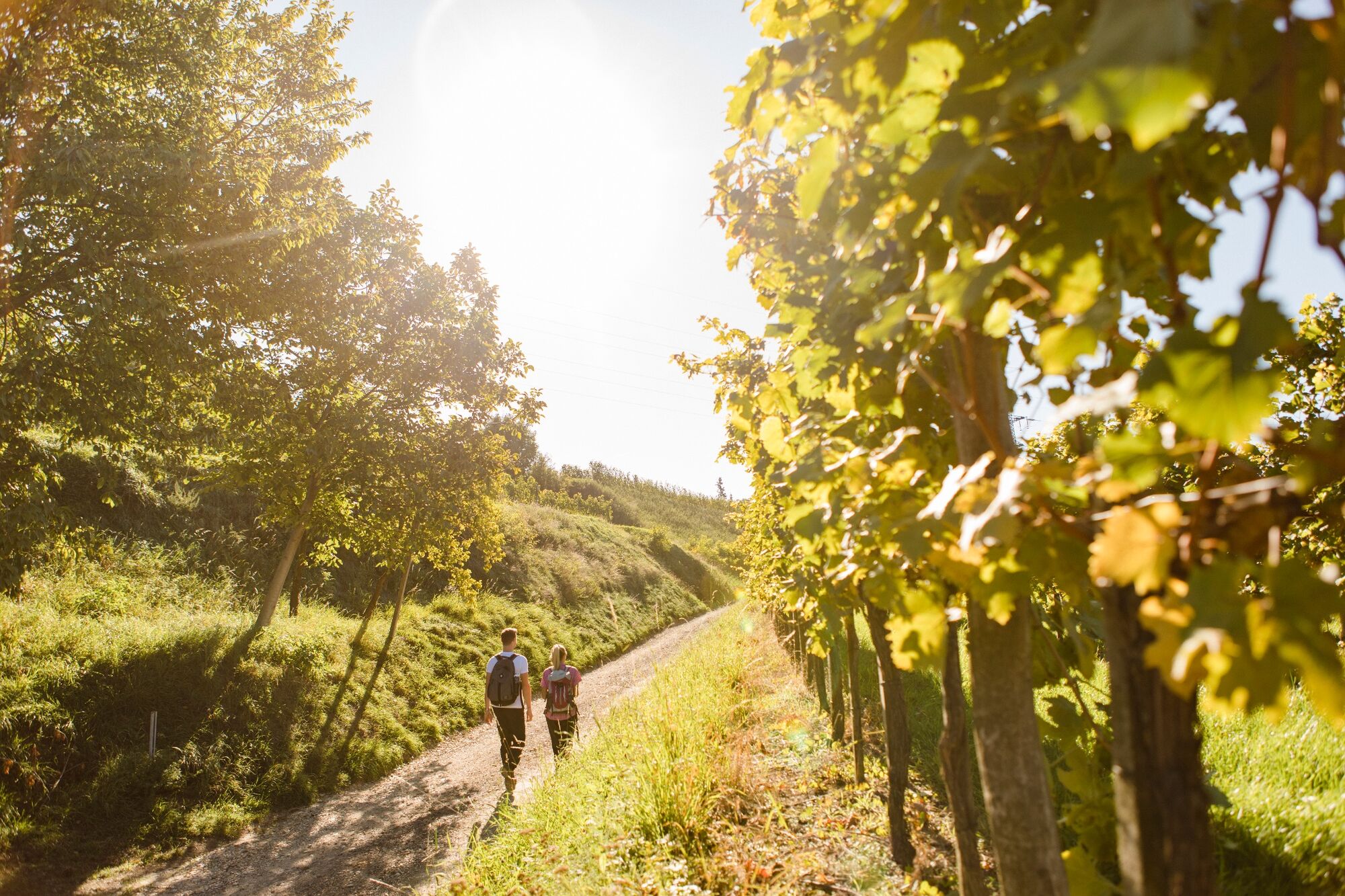
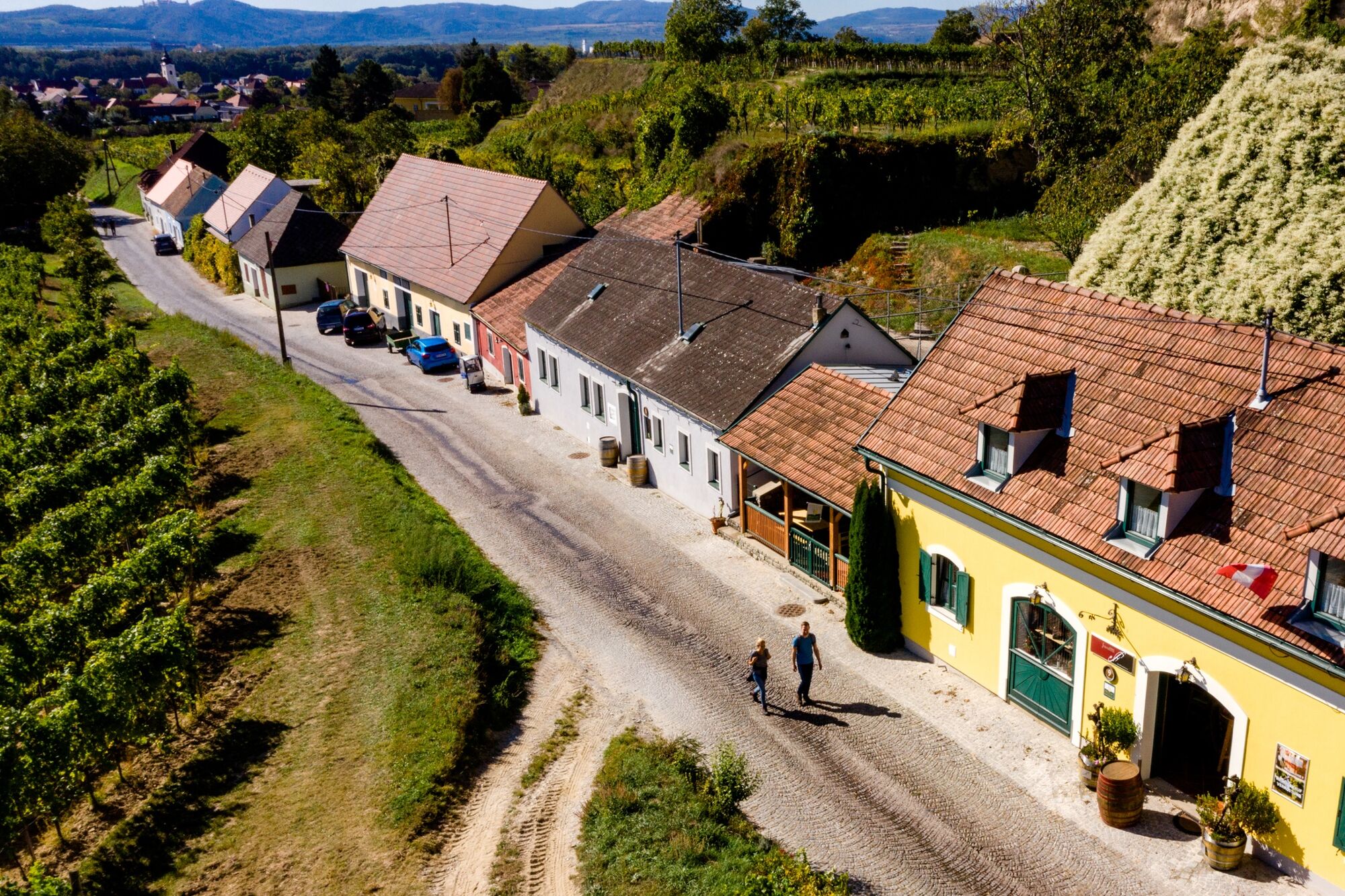
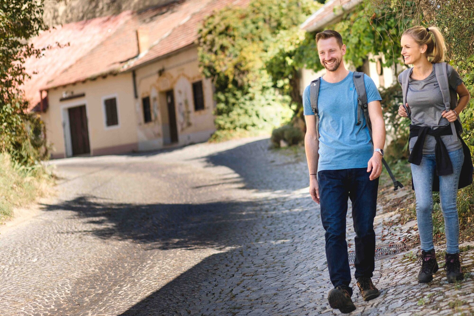
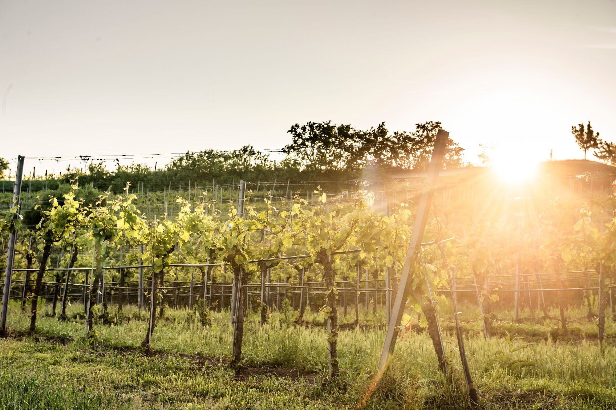
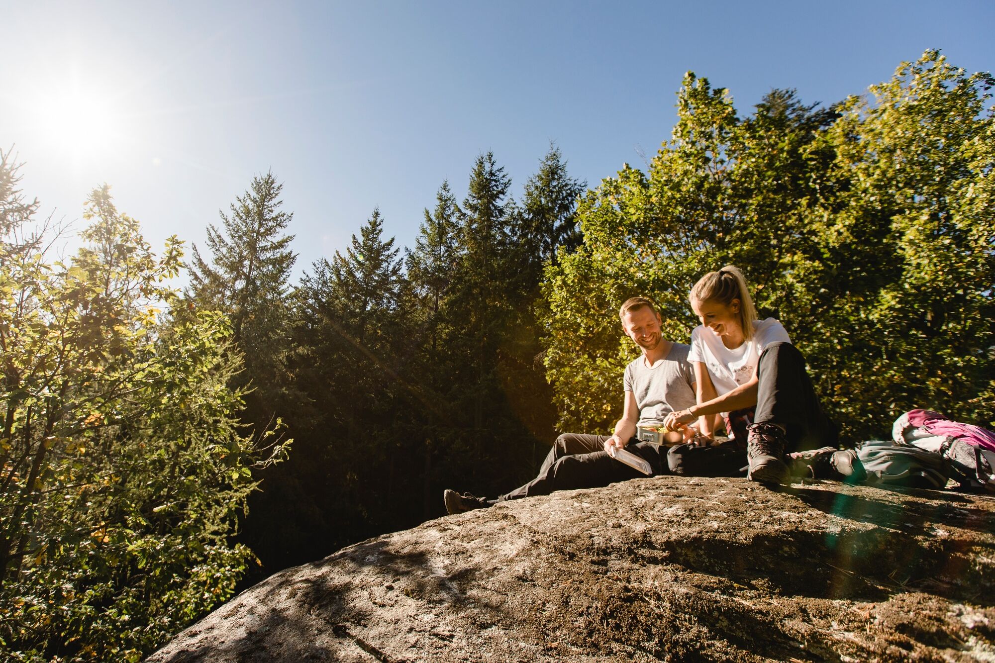
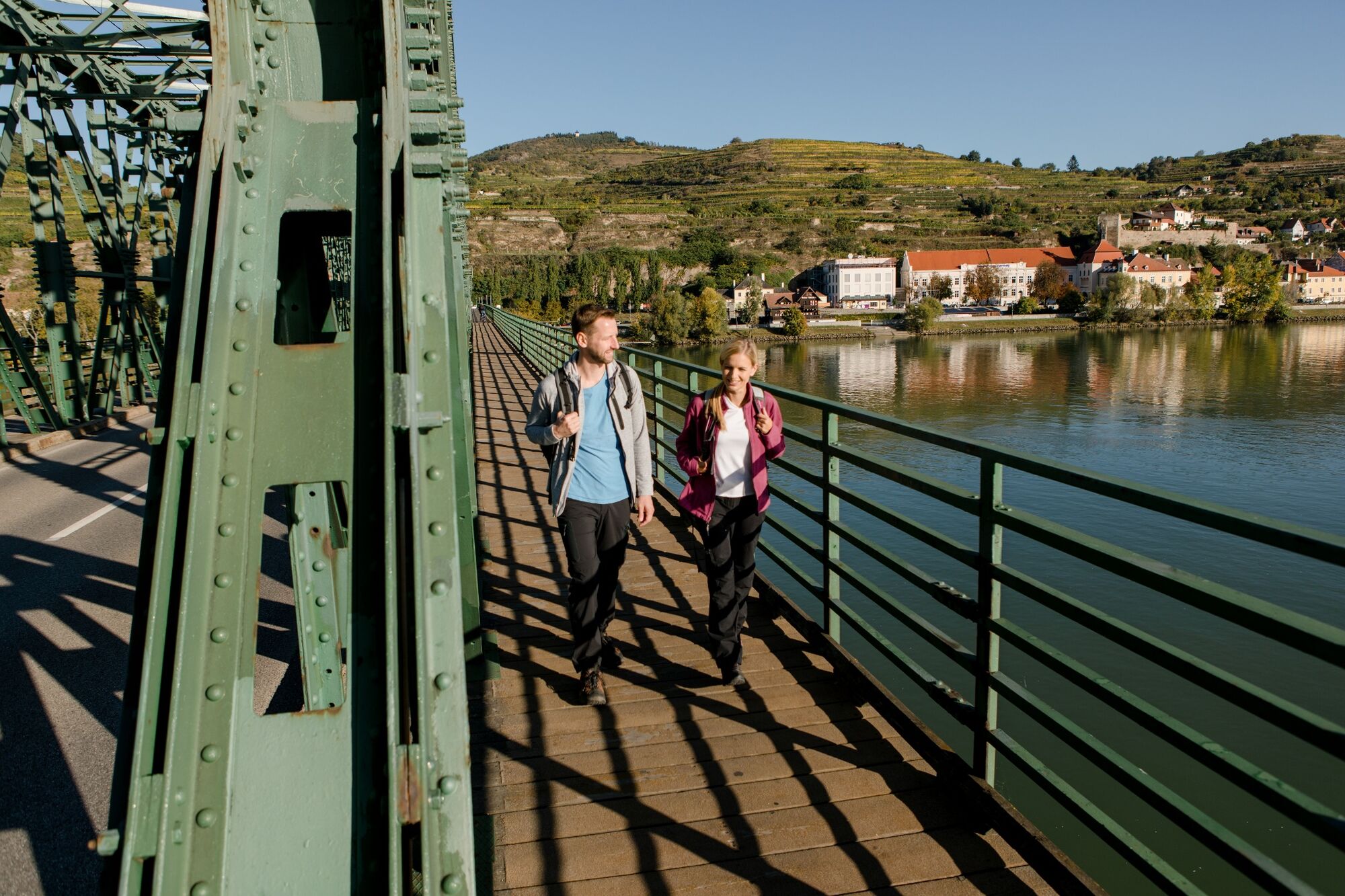
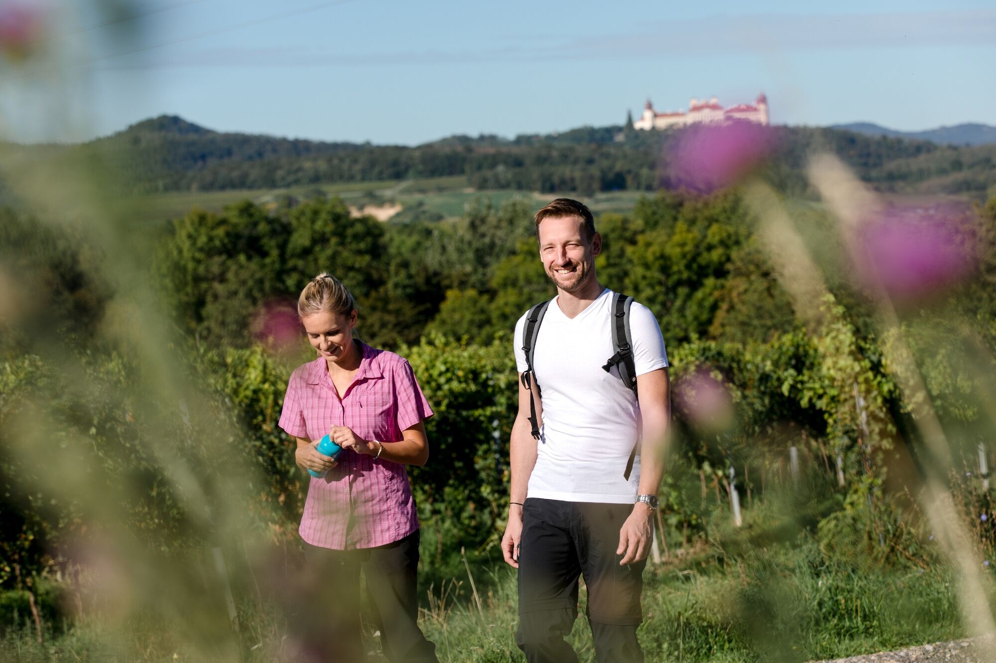
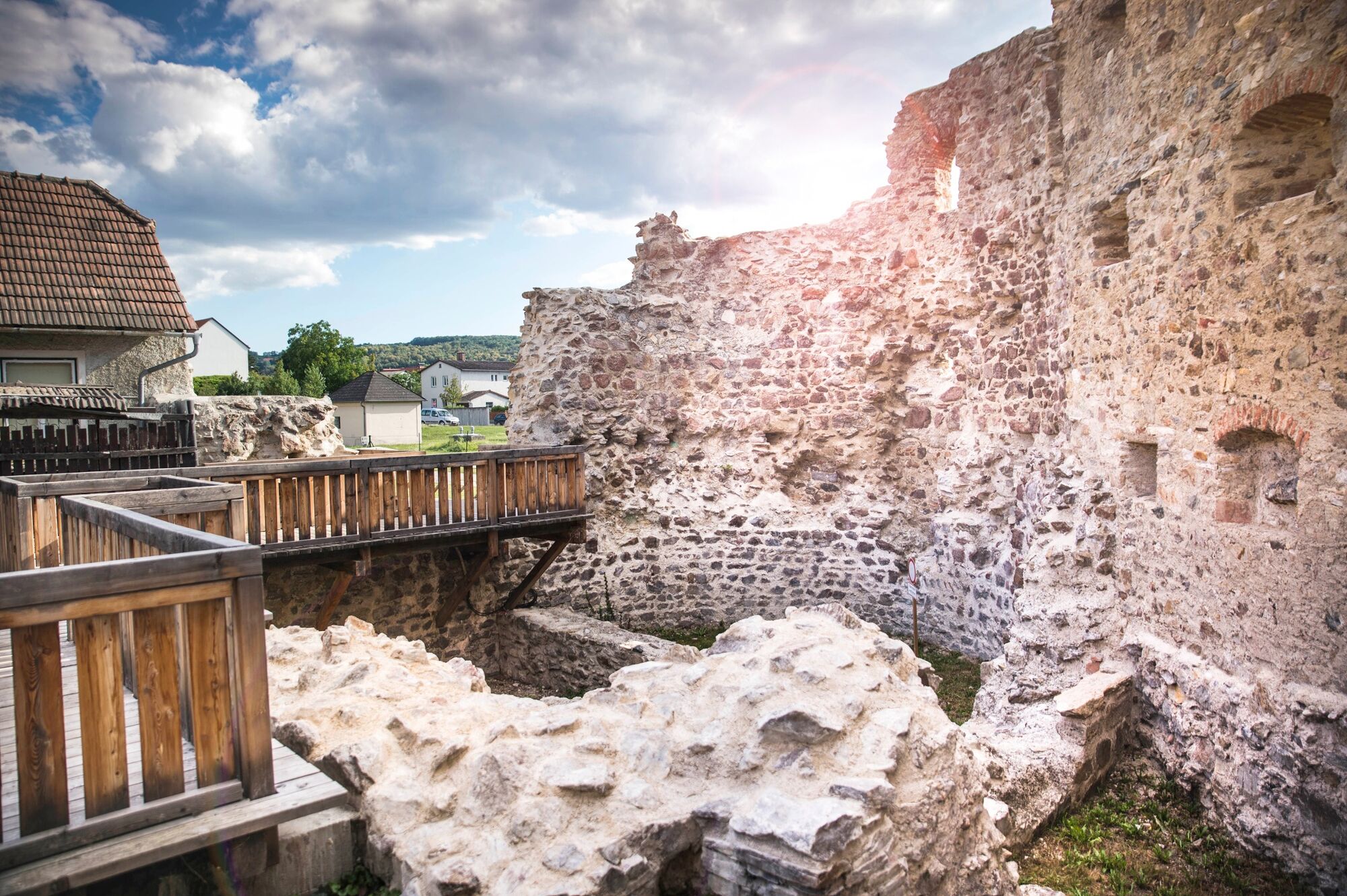
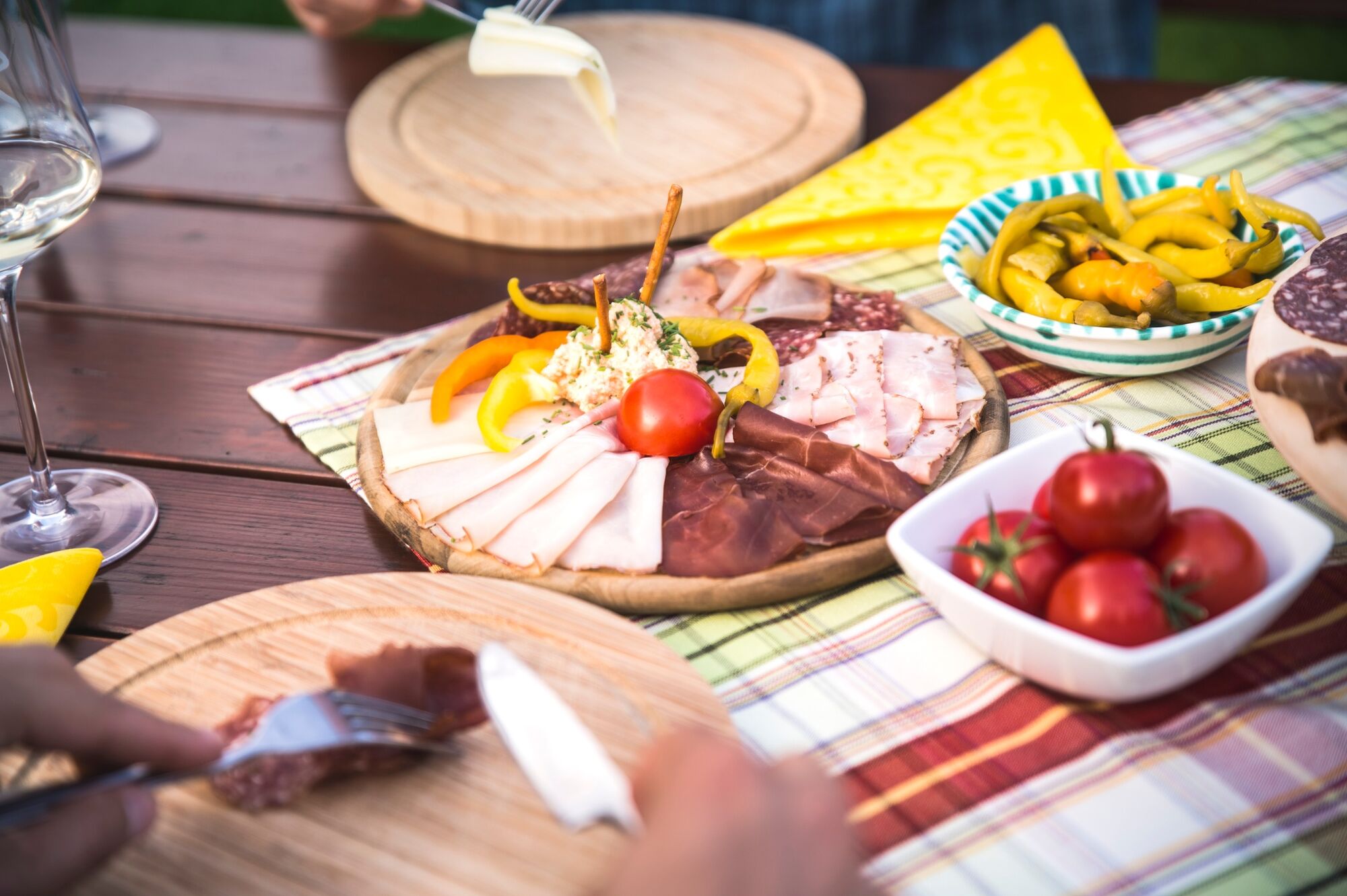
The Kremstal-Danube long-distance hiking trail combines nature, culinary delights and culture. It offers numerous excursion destinations in the process: A hike that does justice to the multi-faceted richness of the region.
- Stopień trudności
-
średni
- Ocena
-
- Trasa
-
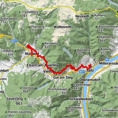
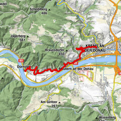
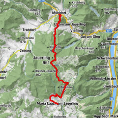
Innenstadt0,2 kmKrems an der Donau0,2 kmBürgerspitalskirche0,2 kmRumänisch-Orthodoxe Gemeinde Krems0,2 kmAlte Klosterkirche der Justizanstalt Stein1,2 kmPfarrkirche hl. Nikolaus1,8 kmFrauenbergkirche1,9 kmStein an der Donau2,0 kmFörthof2,7 kmMautern an der Donau4,0 kmWeinbau Teufner7,3 kmPfarrkirche Furth bei Göttweig8,0 kmFurth bei Göttweig8,3 kmLandgasthof Schickh10,4 kmKlein-Wien10,5 kmFilialkirche hl. Blasius10,6 kmPaudorf (253 m)12,1 kmPaudorf12,2 kmEggendorf13,3 kmHeilige Franz von Sales und Johanna Franziska von Chantal14,4 kmWinzerhof Otto Fink15,2 kmWeingut Johann Rennhofer15,3 kmhl. Florian15,4 kmHöbenbach15,5 kmOrtskapelle Krustetten17,3 kmKrustetten17,4 kmKrems-Süd19,8 kmKleedorf20,4 kmLumpazi Bräu20,9 kmHollenburg21,6 kmPrangerstüberl21,6 kmPfarrkirche Theiß29,1 kmTheiß29,4 kmHl. Jakobus der Ältere33,5 kmBrunn im Felde33,6 kmGasthaus Knechtl34,4 kmGedersdorf34,7 kmFilialkirche hll. Philippus und Jakobus34,8 kmHeuriger Rohrhofer35,0 kmGobelsberg (303 m)37,0 kmLangenlois41,3 kmHeuriger Völkl47,9 kmKath. Pfarrkirche hl. Pankratius48,5 kmStratzing52,4 kmPfarrkirche hl. Nikolaus52,5 kmPriel54,3 kmZum alten Bierkeller55,5 kmHeuriger Nigl Ingeborg55,8 kmDroß55,8 kmHerzogentisch (541 m)59,7 kmAthletenspalte60,5 kmGasthaus Braun, Zum weißen Rössl68,7 kmGföhl68,7 kmStadtpfarrkirche Hl. Andreas68,7 kmGasthof Schreferl75,8 kmUnter Meisling75,9 kmOber-Meisling77,4 kmPfarrkirche hl. Stephan77,7 kmKohlerhöhe (647 m)80,2 kmGasthof-Restaurant Hintenberger85,9 kmSenftenberg87,0 kmSchlapf'n Wirt Gasthaus Braun87,5 kmPfarrkirche hl. Andreas87,8 kmImbach89,4 kmKlosswaldhöhle90,1 kmRehberg90,7 kmPfarrkirche Rehberg90,8 kmIn der Gais95,1 kmInnenstadt96,4 kmKrems an der Donau96,5 km
- Najlepszy sezon
-
stylutmarkwimajczelipsiewrzpaźlisgru
- Najwyższy punkt
- 631 m
- Miejsce docelowe
-
Any, results from the selected stage
- Profil wysokości
-


- Autor
-
Wycieczka Kremstal-Danube Long Distance Trail total jest używany przez outdooractive.com pod warunkiem.
GPS Downloads


Informacje ogólne
Przystanek odświeżania
Obiecujący
Więcej wycieczek w regionach
-
Donau Niederösterreich
2289
-
Kamptal - Manhartsberg
1158
-
Stratzing
641