© Nidwalden Tourismus - sbrinz-route.ch


© Nidwalden Tourismus - sbrinz-route.ch

- Krótki opis
-
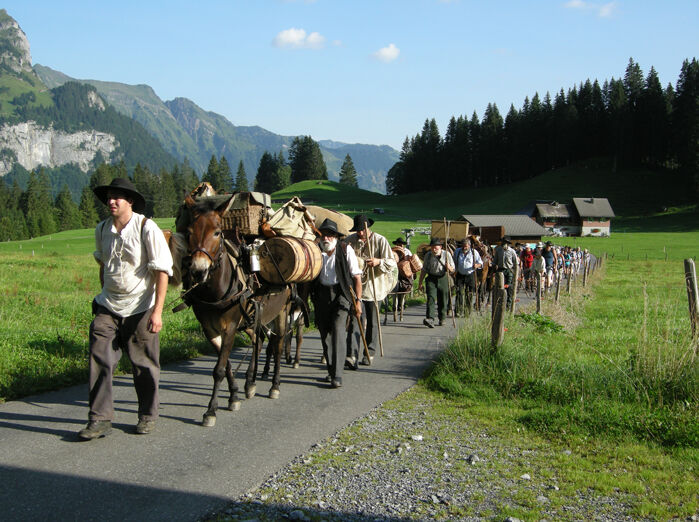
Where the traders once brought cheese to Italian markets and exchanged it for wine, corn, rice, spices and cloth and returned to the mountain valleys, we discover impressive cultures and unique cultural landscapes.
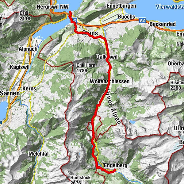
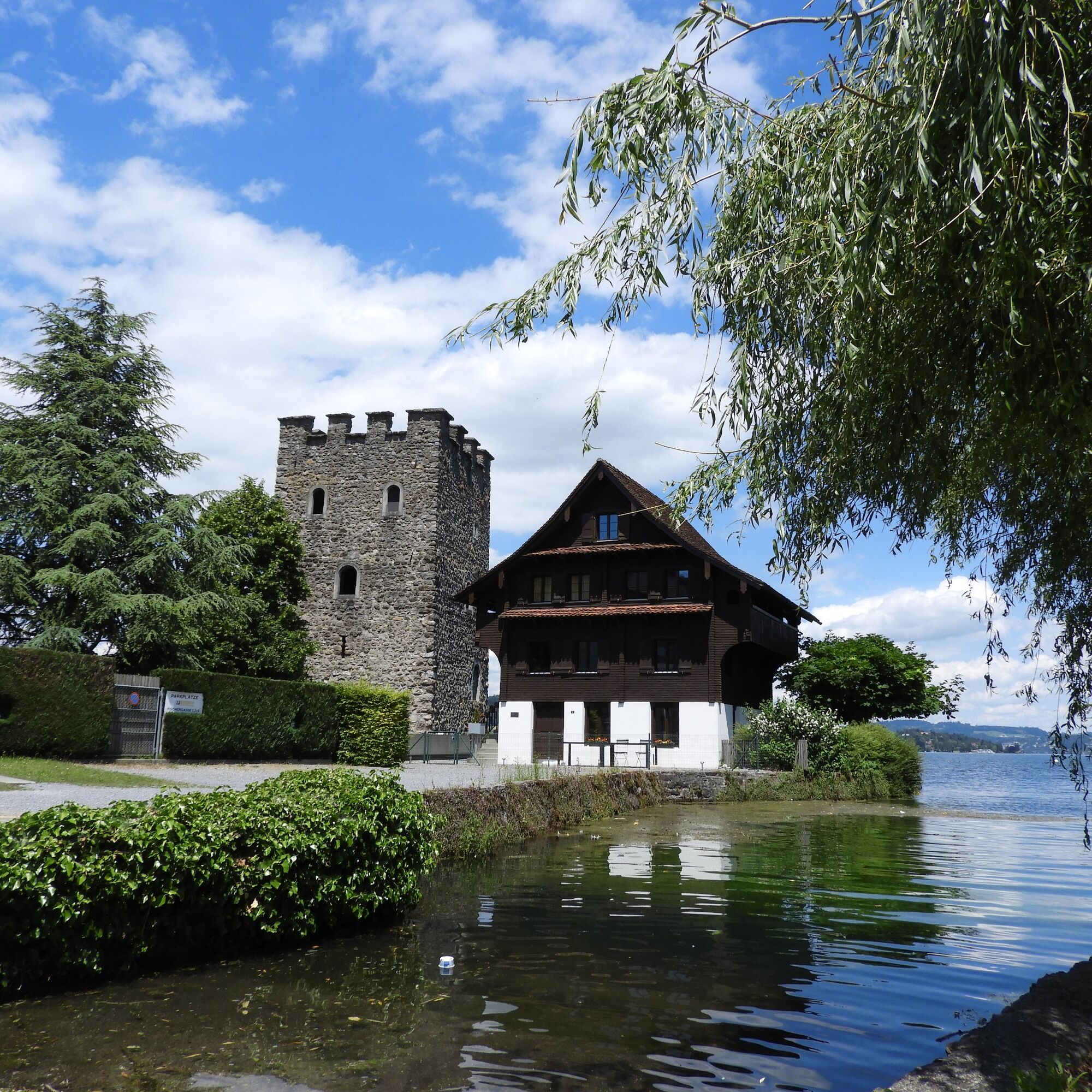
From the shores of Lake Lucerne up to the Engelberg mountain valley. On the way we discover several cultural-historical sights, like the centre of Stans, the monastic Sust of Grafenort and the monastery Engelberg. - Stopień trudności
-
średni
- Ocena
-
- Trasa
-
Stansstad (See) (438 m)0,0 kmStansstad (436 m)0,2 kmStansstad (438 m)0,3 kmOeli1,9 kmLourdesgrotte2,4 kmRotzberghostatt2,9 kmSt.-Josefs-Kapelle3,3 kmBeinhauskapelle4,7 kmSt. Peter und Paul4,7 kmÖlbergkapelle4,7 kmStans (452 m)4,7 kmKapuzinerkirche5,0 kmSt.-Heinrich-Kapelle5,7 kmOberdorf6,0 kmDallenwil (486 m)9,1 kmDallenwil (545 m)9,2 kmZum Kreuz9,3 kmUfgändacher10,7 kmStrass10,9 kmMaienriesli11,4 kmWolfenschiessen (510 m)12,4 kmBrigg12,8 kmBrunnifeld12,9 kmMittler Fallenbach14,6 kmGrossfallenbach14,9 kmBannerlen15,1 kmMünchmatt15,2 kmChlifallenbach15,5 kmTöbeli16,5 kmTalstation Obermatt20,6 kmTalstation Obermatt21,1 kmÖrtigen24,3 kmEngelberg (1.000 m)26,3 km
- Najlepszy sezon
-
stylutmarkwimajczelipsiewrzpaźlisgru
- Najwyższy punkt
- 1.003 m
- Miejsce docelowe
-
Engelberg
- Profil wysokości
-
 © outdooractive.com
-

-
AutorWycieczka Via Sbrinz Stansstad - Engelberg jest używany przez outdooractive.com pod warunkiem.
GPS Downloads


Informacje ogólne
Przystanek odświeżania
Kulturalny/Historyczny
Więcej wycieczek w regionach