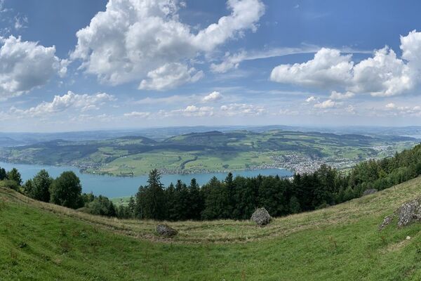
© Region Luzern-Vierwaldstättersee - Carla Hendry

© Region Luzern-Vierwaldstättersee - Carla Hendry

© Region Luzern-Vierwaldstättersee - Carla Hendry

- Krótki opis
-
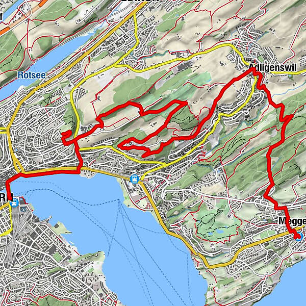
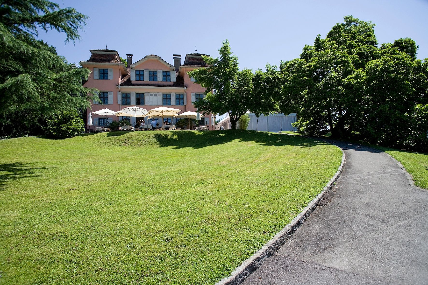
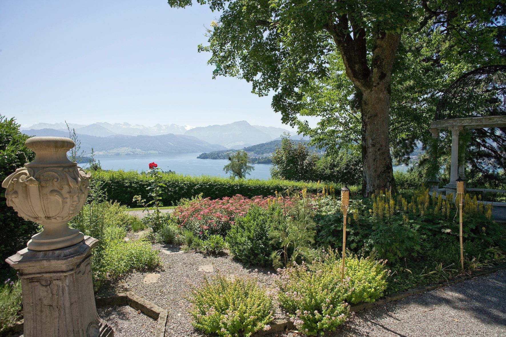
From the centre of Meggen, you climb through fields and meadows to mystical Megger forest before continuing on to Adligenswil. High above the town, you pass the Kurhaus Sonnmatt to reach Gerlisberg monastery. After a final effort you arrive at the Dietschiberg, little sister of the Rigi. You then descend to the Utenberg before entering the huge Dreilinden Park.
- Stopień trudności
-
łatwe
- Ocena
-
- Trasa
-
Meggen Zentrum (470 m)0,0 kmMeggen0,2 kmSchlössli0,2 kmPiuskirche0,3 kmAdligenswil4,2 kmSt. Martin4,2 kmObgardi4,5 kmSchlössli7,0 kmDietschiberg10,2 kmKonservatorium12,7 kmEingang "Schiffrestaurant Wilhelm Tell"14,2 kmBrücke 814,7 kmLuzern Schweizerhofquai (435 m)14,8 kmLucerne (436 m)15,3 km
- Najlepszy sezon
-
stylutmarkwimajczelipsiewrzpaźlisgru
- Najwyższy punkt
- 650 m
- Miejsce docelowe
-
Lucerne railway station
- Profil wysokości
-
 © outdooractive.com

-

-
AutorWycieczka Via Meggen to the Dietschiberg jest używany przez outdooractive.com pod warunkiem.
GPS Downloads


Informacje ogólne
Przystanek odświeżania
Kulturalny/Historyczny
Obiecujący
Więcej wycieczek w regionach
-
Luzern und Umgebung
1710
-
Weggis Vitznau Rigi
894
-
Ebikon
197