© Stoos-Muotatal Tourismus GmbH - Stoos-Muotatal Tourismus

© Stoos-Muotatal Tourismus GmbH - Stoos-Muotatal Tourismus

© Stoos-Muotatal Tourismus GmbH - Stoos-Muotatal Tourismus
- Krótki opis
-
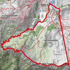
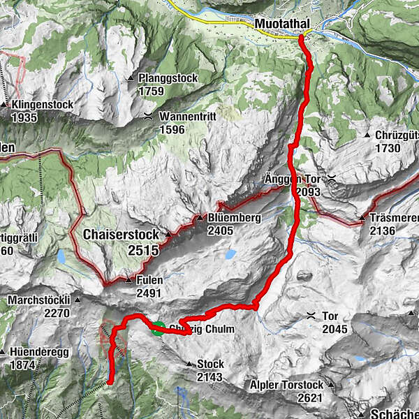
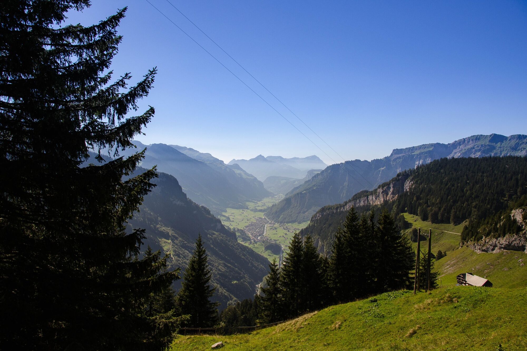
In autumn 1799, the Russian general Suvorov marched his army through the Swiss Alps to drive the French out of the country. The Via Suworow follows this campaign through a breathtaking mountain landscape.
- Stopień trudności
-
ciężkie
- Ocena
-
- Trasa
-
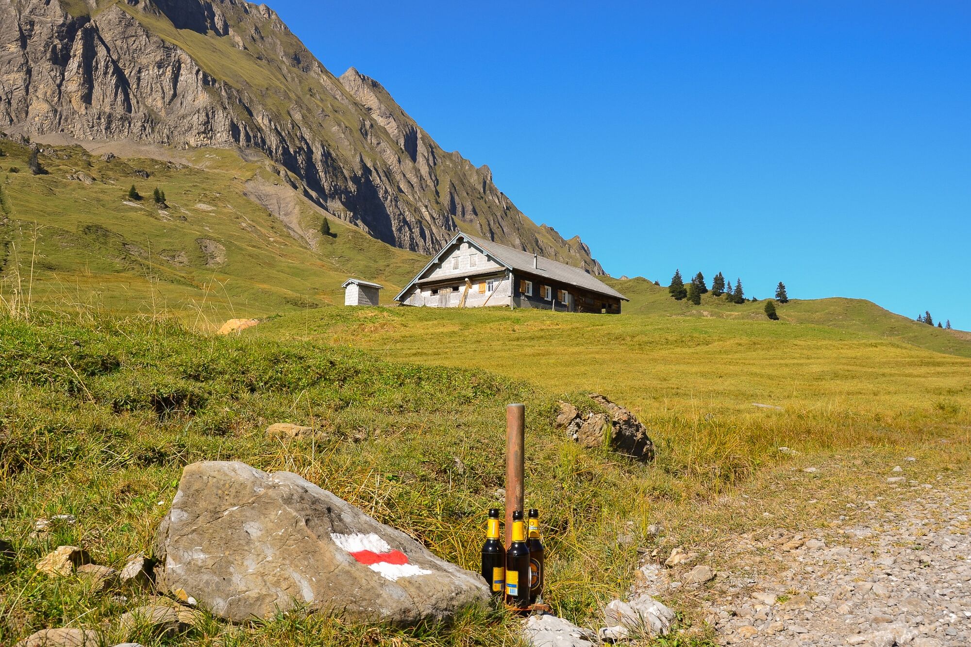
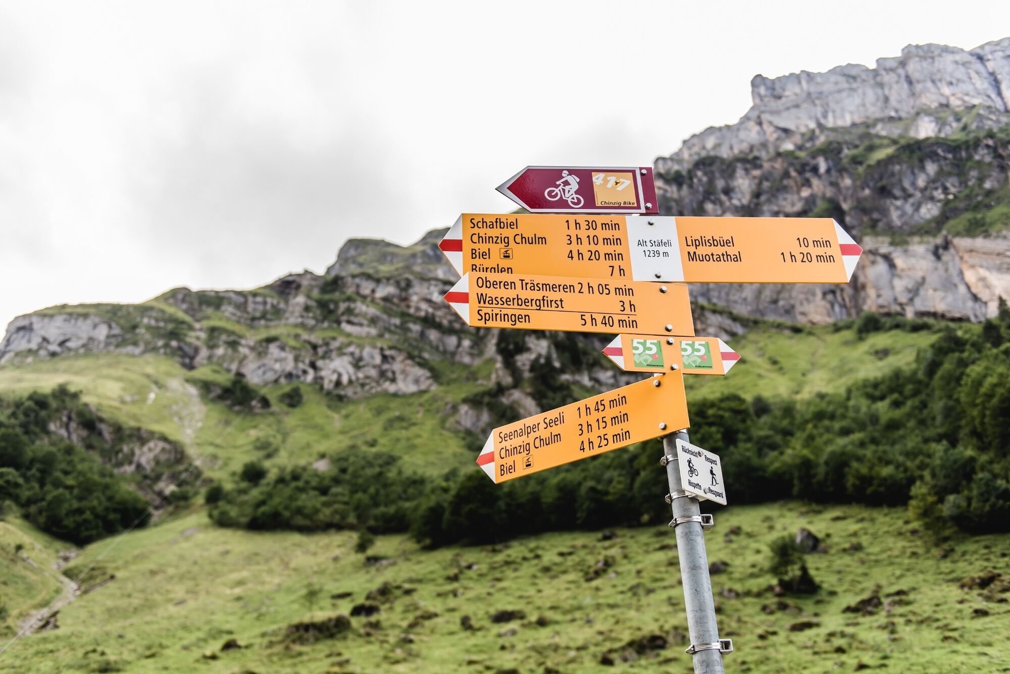
Bergstation BielBerggasthaus BielBergkapelle Biel0,4 kmVorderer Weissenboden0,6 kmChinzig Chulm Kappelle3,0 kmSchutzhütte Chinzig3,0 kmHintersten Hütten7,0 kmMittelsten Hütten7,3 kmVordersten Hütten8,2 kmAlpwirtschaft Lipplisbüel10,6 kmBergrestaurant Lipplisbüel11,5 kmGletschermühlen14,1 kmMuotathal14,6 km
- Najlepszy sezon
-
stylutmarkwimajczelipsiewrzpaźlisgru
- Najwyższy punkt
- 2.061 m
- Miejsce docelowe
-
Hinterthal, Muotathal
- Profil wysokości
-
 © outdooractive.com
- Autor
-
Wycieczka Via Suworow jest używany przez outdooractive.com pod warunkiem.
GPS Downloads


Informacje ogólne
Przystanek odświeżania
Flora
Obiecujący
Więcej wycieczek w regionach
-
Schwyz
1748
-
Stoos-Muotatal
846
-
Spiringen - Urner Boden
175